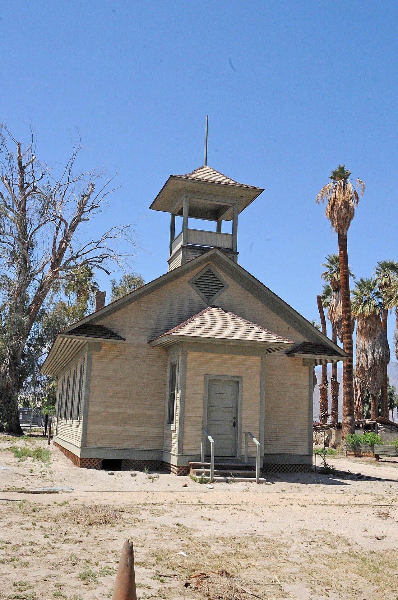
Martinez Historical District · National Register of Historic Places
Oasis’s story
Oasis in pictures
The archive holds 2 maps from 1956 on.
1 place on the National Register of Historic Places.
Explore the history →Each edition grades its towns against each other only.
A town of 4,051.
Oasis grades D− overall, ranked 746th of 841 in California, mostly because of health and incomes. On CDC estimates, its residents' health ranks in the bottom 2% nationally. The median household income is $39K, and 35% of residents live below the poverty line. What it does well: a typical home costs about $35K, less than a year of the Riverside metro’s $90K median household income. 35% of residents live below the poverty line in Oasis, above both the California town median (10%) and the median of U.S. towns (9.6%). FEMA rates its natural-hazard risk higher than 87% of U.S. communities, with earthquakes at the top. Martinez Historical District is on the National Register of Historic Places.
6,890 counted in 2010 and 4,468 in 2020.
U.S. Census 2010 & 2020 counts
Each subject compared with towns across the country (schools within California), ordered by how far Oasis is from typical.
How TownRatings grades towns →
The archive holds 2 maps from 1956 on.
1 place on the National Register of Historic Places.
Explore the history →Oasis is unincorporated, so Riverside County and regional agencies provide most services.
EPA SDWIS (Oct 9, 2026) · HIFLD + EIA-861 2025 · Census 2020 ZCTAs · NCES 2024–25 · registration: vote.gov, updated Nov 18, 2024.
Ordered by what stands out in Oasis.
Oasis has more 90° days than nearly all U.S. towns, but it has poverty well above the California rate and has lost a quarter or more of its jobs in ten years.
54% of adults say their health is fair or poor in Oasis. No town among the 847 in California we compare has a higher share of adults who report frequent physical distress than Oasis. 25% of adults report frequent mental distress in Oasis.
| Oasis | California towns | U.S. towns | |
|---|---|---|---|
| Fair or poor health (CDC PLACES) | 54% | 22% | 19% |
| Smoke cigarettes (CDC PLACES) | 25% | 11% | 14% |
| Obesity (CDC PLACES) | 50% | 29% | 35% |
| Diabetes (CDC PLACES) | 20% | 12% | 12% |
| What stands out | Oasis | CA |
|---|---|---|
| Fewer adults who have had cancer | 3% | 6.4% |
| Fewer binge drinkers | 12.5% | 15.3% |
| More adults facing a utility shut-off | 28.4% | 7.3% |
CDC PLACES 2025 · modeled estimates for adults · CMS · HRSA
Its public schools are run by the Coachella Valley Unified school district. Its one school is below.
| School | Level | Students | Letter |
|---|---|---|---|
| Oasis ElementaryLargest public elementary schoolGrades K–6 | Grades K–6 | 488 | D− |
NCES · EDFacts · graded within CA on state tests and graduation
FEMA National Risk Index · OpenFEMA
Jobs based here fell from 1,132 in 2013 to 665.
Among 846 California towns, just 10 have a lower median household income than Oasis. Jobs based in Oasis fell to 665 in 2023, 467 fewer than in 2013. Most working residents leave Oasis for work: only 5% work in town.
| Oasis | California towns | U.S. towns | |
|---|---|---|---|
| Median household income | $39,000 | $95,000 | $80,000 |
| Working residents who work in town | 4.6% | 6.6% | 8% |
| Average trip to work | 27 minutes | 28 minutes | 25 minutes |
Census LEHD 2023 · ACS
| Oasis | California towns | U.S. towns | |
|---|---|---|---|
| Conserved land | 0.1% | 4.3% | 4.3% |
| Miles of trail per square mile | 0.6 miles per square mile | 1.0 | 0.4 |
Trails & parks © OpenStreetMap contributors · Conserved land: USGS PAD-US
The Mecca Fire Stn weather station records that about 196 days a year reach 90°, more than in 100% of U.S. towns. January nights average 44°, milder than in 96% of U.S. towns; July afternoons average 107°.
Oasis has warm winters and scorching summers, with very little rain. The July high in Oasis is 107°F. Snow is almost unheard of.
| Oasis | California towns | U.S. towns | |
|---|---|---|---|
| July high | 107°F | 89°F | 85°F |
| January low | 44°F | 40°F | 22°F |
NOAA U.S. Climate Normals, 1991–2020
Museums, parks, gardens and other places to visit around Oasis. Close and well known come first.
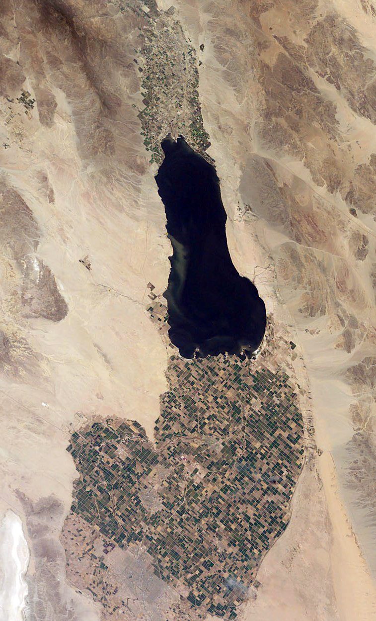 Big draw21 mi LakeSalton Sea
 Big draw14 mi National ParkJoshua Tree National Park2.9M visitors a year
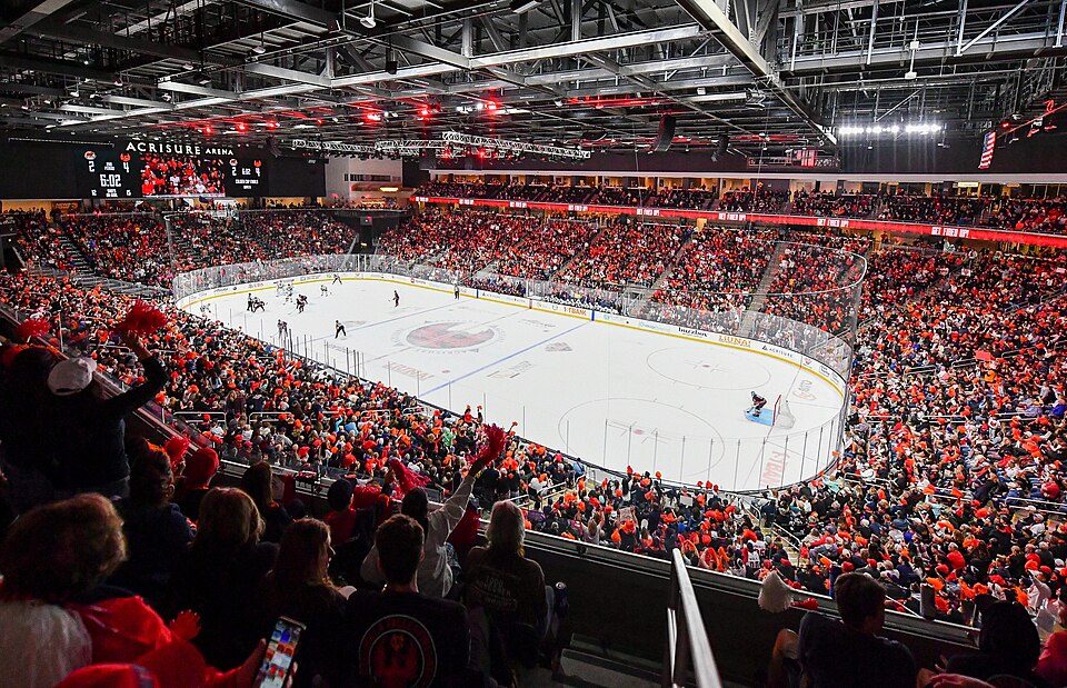 21 mi Stadium & arenaAcrisure Arena
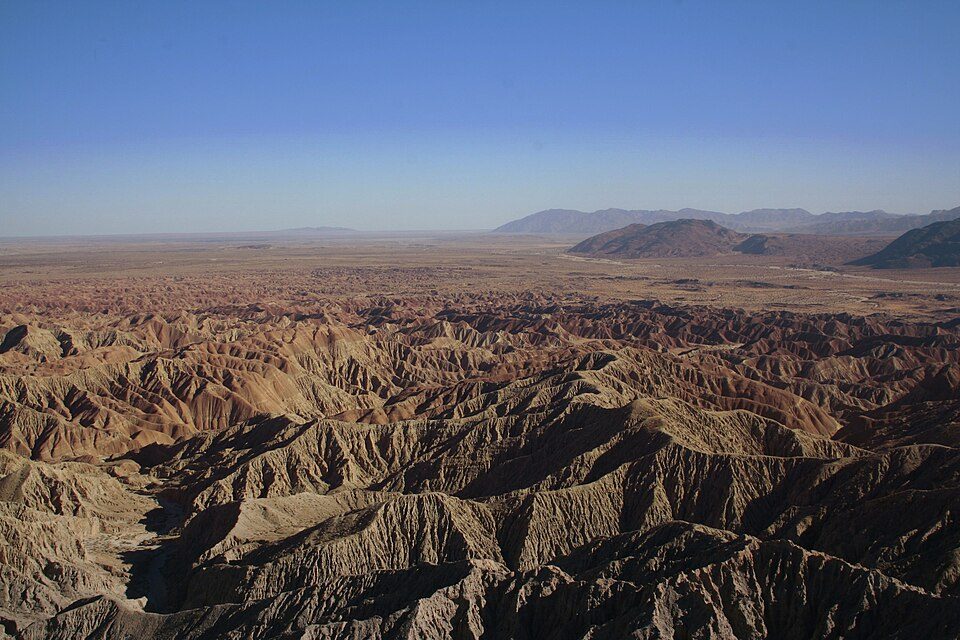 24 mi State parkAnza-Borrego Desert State Park
 36 mi MountainNiland Geyser
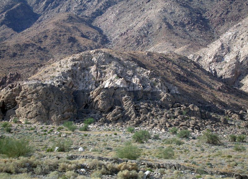 25 mi LakeLake Cahuilla
Salton Sea: NASA, Public domain · Joshua Tree National Park: Sergiy Galyonkin, CC BY-SA 4.0 · Acrisure Arena: TheAHL, CC BY 2.0 · Anza-Borrego Desert State Park: No machine-readable author provided. Miskatonic assumed (based on copyright clai, CC BY 2.5 · Niland Geyser: California Department of Transportation, Public domain · Lake Cahuilla: Unknown, CC BY-SA 2.5
None within 15 miles of Oasis; the nearest are
About 7 of every 100 Oasis residents are enrolled in college, about the same as California.
Where Oasis’s working residents go each day. Line width shows the share.
Census LEHD 2023
Census-designated place in California, United States
Oasis is a census-designated place in the California county of Riverside. Oasis sits at an elevation of 141 feet (43 m) below sea level. The 2020 United States census reported Oasis's population was 4,468, down from 6,890 in 2010.
From Wikipedia, licensed CC BY-SA 4.0 · facts via Wikidata (CC0)
Short answers, built from the data on this page.
Oasis grades D− overall, better than 3% of U.S. towns and #746 of 841 in California. It grades D− for health and C− for schools. Health is its weak spot, with a D−.
That is 0.4 years of the area's median household income ($89,662 across the Riverside-San Bernardino-Ontario, CA metro area). Cost of living, which also weighs rents, property taxes and how many households pay 30% or more of their income for housing, grades B.


