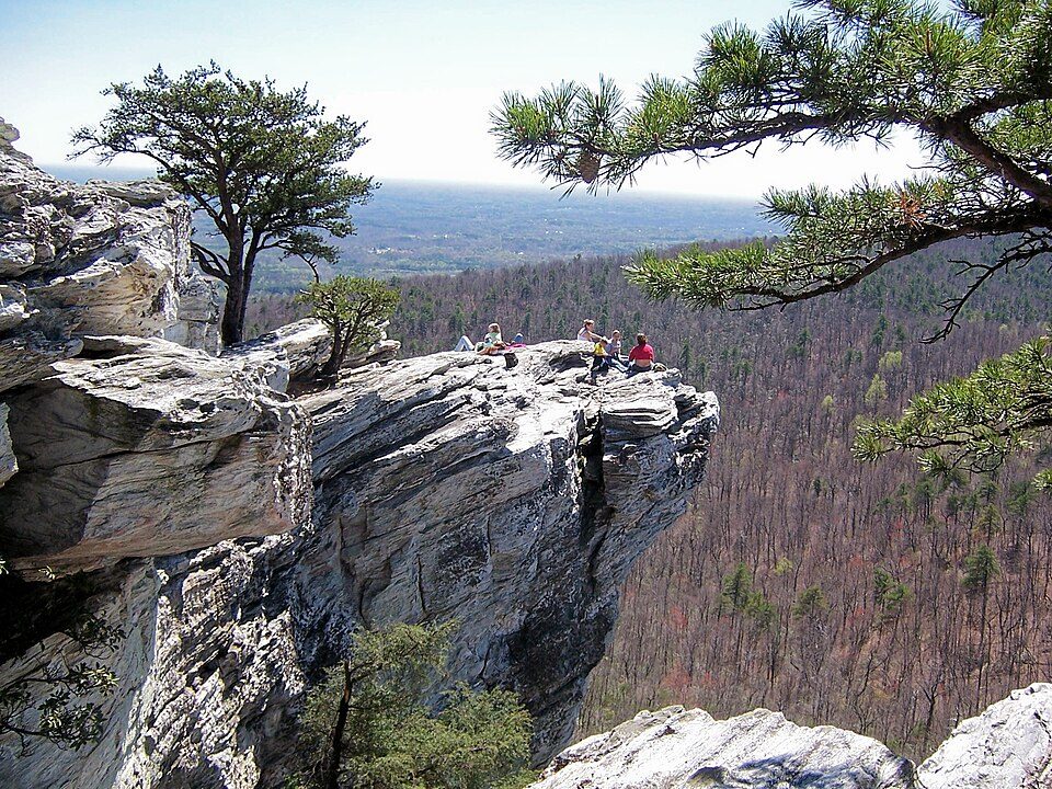
Hanging Rock State Park
Hanging Rock State Park is a 9,011-acre (3,647 ha) North Carolina state park in Stokes County, North Carolina in the United States. You will find it 3 mi southwest of Danbury. It was established in 1935.

A state park, 3 mi southwest of Danbury
Pinnacle is the nearest base
Pinnacle is 10 miles southwest, with 5 places to stay. Where to stay ↓
A day trip from Charlotte
Charlotte is about 88 miles south and Raleigh is about 99 miles southeast (straight-line). Where to stay ↓
Best months: Apr, May, Jun, Sep and Oct
April, May, June, September and October are the mild months, with highs of 70–84°. When to go ↓
Established in 1935
Hanging Rock State Park dates from 1935. About ↓
Written from NOAA 1991–2020 normals, Overture places to stay, Census town figures, Wikidata and Wikipedia.
Highs and lows by month
This is the year’s weather near Hanging Rock.
Hanging Rock State Park
Hanging Rock State Park is a 9,011-acre (3,647 ha) North Carolina state park in Stokes County, North Carolina in the United States. The park is 30 miles (48 km) north of Winston-Salem and is located approximately 2 miles (3.2 km) from Danbury in Stokes County.
- Type
- State park
- Established
- 1935
- Wikipedia readers
- 11K a year
Bases for Hanging Rock State Park
Close by, places to stay are in Winston-Salem (54) and Danbury (3).
Winston-Salem
The closest town with somewhere to stay.
257,271 people
20 mi south of Hanging Rock
Compare 8 towns
| Town | From Hanging Rock | Drive | Places to stay | People | Typical home | Safety |
|---|---|---|---|---|---|---|
| Winston-Salem | 20 mi south | 30 min | 54 42 hotels · 3 motels · 6 inns & B&Bs · 3 lodges & cabins | 257,271 | $234K | D |
| Danbury | 3 mi northeast | 5 min | 3 1 inn or B&B · 2 campgrounds | 187 | $181K | — |
| Pinnacle | 10 mi southwest | 15 min | 5 2 inns & B&Bs · 1 lodge or cabins · 1 campground · 1 RV park | 540 | — | — |
| Mount Airy | 21 mi northwest | 30 min | 18 7 hotels · 2 motels · 5 inns & B&Bs · 3 lodges & cabins · 1 campground | 10,682 | $182K | C− |
| Pilot Mountain | 12 mi west | 15 min | 5 1 hotel · 2 inns & B&Bs · 1 lodge or cabins · 1 RV park | 1,437 | $204K | — |
| Walnut Cove | 10 mi southeast | 15 min | 2 1 inn or B&B · 1 RV park | 1,609 | $217K | — |
| Kernersville | 22 mi southeast | 35 min | 10 9 hotels · 1 lodge or cabins | 29,128 | $291K | D |
| Madison | 16 mi east | 25 min | 3 1 hotel · 1 inn or B&B · 1 campground | 2,190 | $185K | C |
Day trip from
Straight-line miles.
Getting there
Nearest airports with airline service
Pair Hanging Rock with these
Within 69 miles you can add these well-known places.
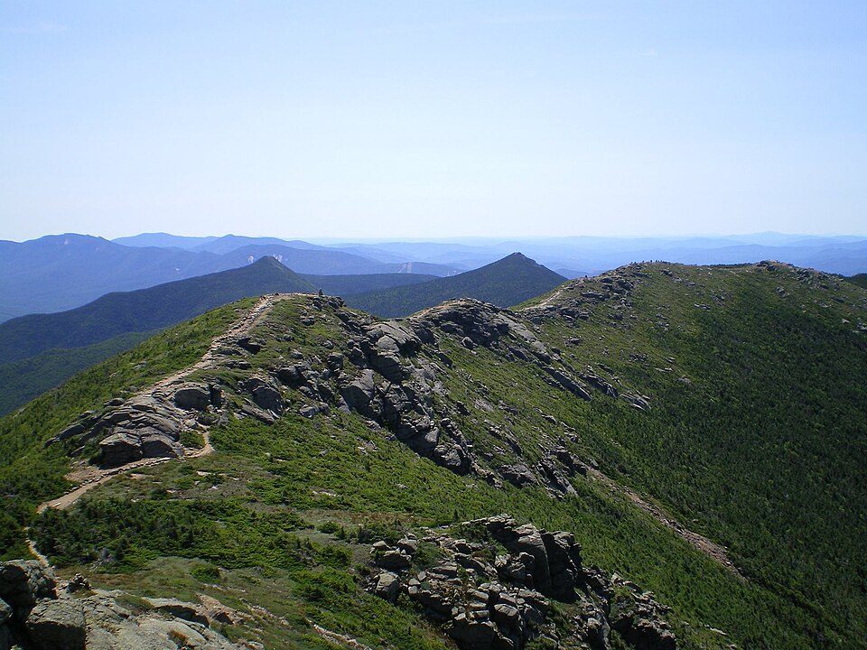 Big draw67 mi Park & preserveAppalachian Trail3.0M visitors a year
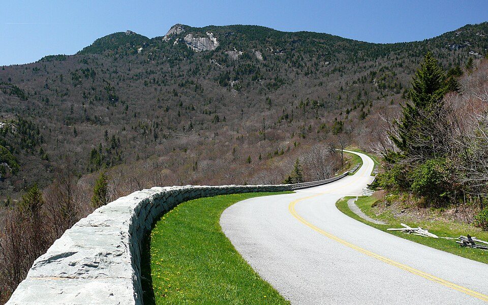 43 mi ParkwayBlue Ridge Parkway16.5M visitors a year
 112 mi MountainPilot Mountain
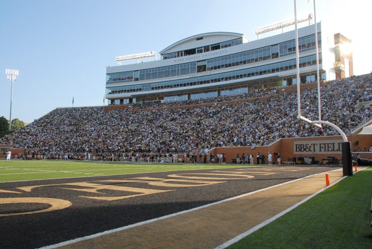 218 mi Stadium & arenaAllegacy Federal Credit Union Stadium
 321 mi MuseumOld Salem
 58 mi Stadium & arenaLane Stadium
 60 mi LakeSmith Mountain Lake
 69 mi LakeMountain Lake
Photo credits
Appalachian Trail: Paulba. Original uploader was Paulbalegend at en.wikipedia, CC BY-SA 3.0 · Blue Ridge Parkway: Ken Thomas, Public domain · Pilot Mountain: Berean Hunter, CC BY-SA 2.5 · Allegacy Federal Credit Union Stadium: BobHWS, CC BY-SA 3.0 · Old Salem: David Bjorgen, CC BY-SA 3.0 · Lane Stadium: User:B, CC BY-SA 4.0 · Smith Mountain Lake: Jay White, Public domain · Mountain Lake: Rolfmueller, CC BY-SA 3.0


Planning a visit to Hanging Rock
What town is Hanging Rock State Park near?
Danbury, NC, about 3 miles northeast.
When is the best time to visit Hanging Rock State Park?
April, May, June, September and October, with highs of 70–84°.
How far is Hanging Rock State Park from Greensboro and Durham?
About 32 miles southeast of Greensboro and about 81 miles east of Durham, as the crow flies.
What is the closest airport to Hanging Rock State Park?
Piedmont Triad (GSO), about 27 miles away.
Where should I stay near Hanging Rock State Park?
Winston-Salem (20 mi, 54 places to stay), Danbury (3 mi, 3 places to stay) and Pinnacle (10 mi, 5 places to stay).
From people who live in Danbury
No one has shared advice yet; Danbury’s Town Square takes questions.
Sources: National Park Service · ski areas © OpenSkiMap / OpenStreetMap contributors · Wikidata · Wikipedia readership · NOAA climate normals · U.S. Census.