
Lane Stadium
Lane Stadium is a college football stadium in the eastern United States, located on the campus of Virginia Polytechnic Institute and State University (Virginia Tech) in Blacksburg, Virginia. This is a site of Virginia Tech. The first name on our list around it is Appalachian Trail, 9.3 mi away.

A stadium & arena inside Blacksburg
You can stay in Blacksburg
Lane Stadium is inside Blacksburg, which has 17 places to stay, so you won’t need a base farther out. Where to stay ↓
Best months: Apr, May, Jun, Jul, Aug, Sep and Oct
April, May, June, July, August, September and October are the mild months, with highs of 66–84°. When to go ↓
Established in 1965
Lane Stadium dates from 1965 and is run by Virginia Tech. About ↓
Written from NOAA 1991–2020 normals, Overture places to stay, Census town figures, Wikidata and Wikipedia.
The weather by month
Pick a month for Lane Stadium from the weather below.
Lane Stadium
Lane Stadium is a college football stadium in the eastern United States, located on the campus of Virginia Polytechnic Institute and State University (Virginia Tech) in Blacksburg, Virginia. The playing surface of the stadium is named Worsham Field. The home field of the Virginia Tech Hokies of the Atlantic Coast Conference (ACC), it was rated the number one home field advantage in all of college football in 2005 by Rivals.com. In 2007, it was ranked #2 on ESPN.com's "Top 10 Scariest Places To Play." The stadium is named for Edward Hudson Lane, a former student, local businessman, and Virginia Tech booster, while the playing surface is named for Wes Worsham, a university donor and booster.
From 1982 to 2014, Lane Stadium had the highest elevation of any Football Bowl Subdivision stadium in the eastern United States, at 2,057 feet (627 m) above sea level.
- Type
- Stadium & arena
- Established
- 1965
- Run by
- Virginia Tech
- Wikipedia readers
- 47K a year
Where to stay near Lane Stadium
The nearest towns with places to stay are Blacksburg (17) and Christiansburg (20).
Compare 8 towns
| Town | From Lane Stadium | Drive | Places to stay | People | Typical home | Safety |
|---|---|---|---|---|---|---|
| Blacksburg | in town | — | 17 14 hotels · 2 inns & B&Bs · 1 campground | 45,104 | $446K | A− |
| Christiansburg | 6 mi south | 10 min | 20 15 hotels · 3 inns & B&Bs · 1 lodge or cabins · 1 RV park | 22,442 | $253K | C |
| Roanoke | 26 mi east | 40 min | 44 33 hotels · 4 motels · 4 inns & B&Bs · 1 lodge or cabins · 1 campground · 1 RV park | 99,111 | $191K | D |
| Radford | 10 mi southwest | 15 min | 6 6 hotels | 17,243 | $221K | B− |
| Salem | 21 mi east | 30 min | 19 15 hotels · 2 motels · 2 inns & B&Bs | 25,816 | $259K | — |
| Lafayette | 12 mi east | 20 min | 4 3 hotels · 1 motel | 628 | — | — |
| Dublin | 17 mi southwest | 25 min | 7 4 hotels · 1 motel · 2 inns & B&Bs | 2,652 | $181K | B− |
| Plum Creek | 8 mi southwest | 10 min | 2 2 hotels | 1,068 | — | — |
Getting there
Nearest airports with airline service
Beyond Lane Stadium
These well-known places are within 63 miles.
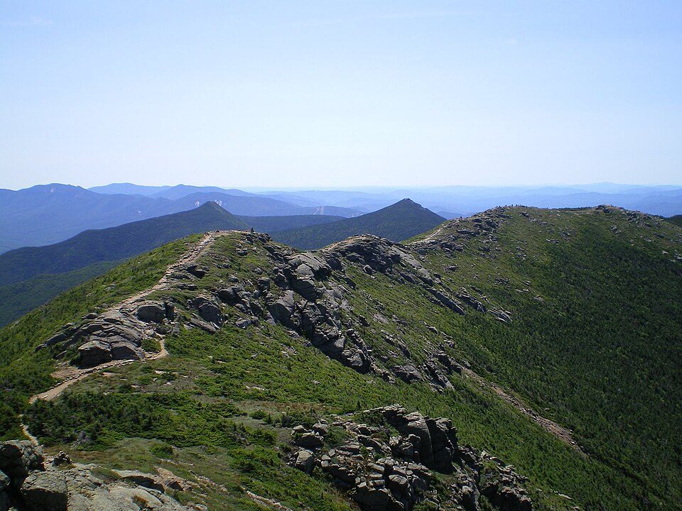 Big draw19 mi Park & preserveAppalachian Trail3.0M visitors a year
 212 mi LakeMountain Lake
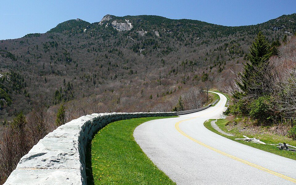 58 mi ParkwayBlue Ridge Parkway16.5M visitors a year
 39 mi LandmarkProject Greek Island
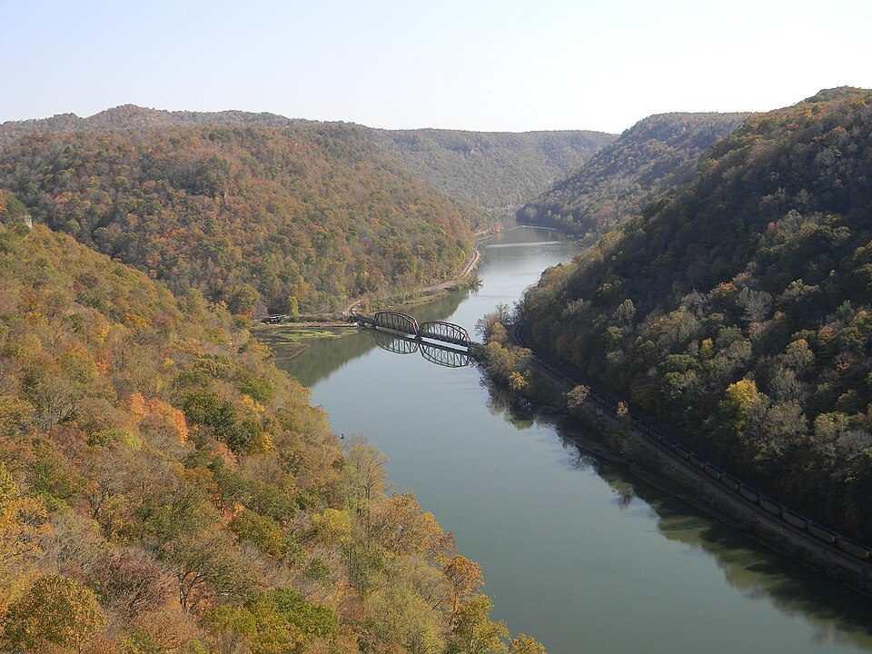 63 mi National PreserveNew River Gorge National Park and Preserve2.0M visitors a year
 50 mi LakeSmith Mountain Lake
 61 mi MountainPilot Mountain
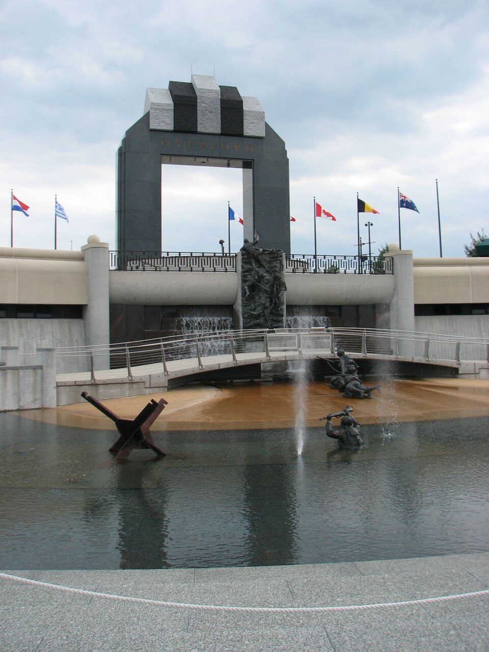 49 mi LandmarkNational D-Day Memorial
Photo credits
Appalachian Trail: Paulba. Original uploader was Paulbalegend at en.wikipedia, CC BY-SA 3.0 · Mountain Lake: Rolfmueller, CC BY-SA 3.0 · Blue Ridge Parkway: Ken Thomas, Public domain · Project Greek Island: Z22, CC BY-SA 4.0 · New River Gorge National Park and Preserve: NKS22, Public domain · Smith Mountain Lake: Jay White, Public domain · Pilot Mountain: Berean Hunter, CC BY-SA 2.5 · National D-Day Memorial: RebelAt at English Wikipedia, Public domain


Know before you visit Lane Stadium
Is Lane Stadium in Blacksburg?
Yes. It’s inside Blacksburg, VA.
When is the best time to visit Lane Stadium?
April, May, June, July, August, September and October, with highs of 66–84°.
How far is Lane Stadium from Greensboro?
About 84 miles southeast of Greensboro, as the crow flies.
What is the closest airport to Lane Stadium?
Roanoke–Blacksburg Regional (ROA), about 25 miles away. The nearest big hub is Piedmont Triad (GSO), about 82 miles.
Where should I stay near Lane Stadium?
Blacksburg (in town, 17 places to stay), Christiansburg (6 mi, 20 places to stay) and Roanoke (26 mi, 44 places to stay).
Ask people in Blacksburg
There are no tips yet, so start one in Blacksburg’s Town Square.
Sources: National Park Service · ski areas © OpenSkiMap / OpenStreetMap contributors · Wikidata · Wikipedia readership · NOAA climate normals · U.S. Census.