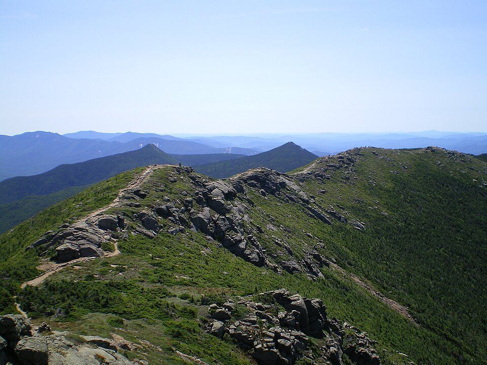
Appalachian Trail
The Appalachian Trail, also called the A.T., is a hiking trail in the Eastern United States, extending almost 2,200 miles (3,540 km) between Springer Mountain in Georgia and Mount Katahdin in Maine, and passing through 14 states. Its address puts it 9 mi north of Blacksburg. It comes under the National Park Service.

A park & preserve, 9 mi north of Blacksburg
One of the most looked-up attractions in the U.S.
About 307K people a year read its Wikipedia article, more than for 99% of the 7,799 attractions we track.
Blacksburg is the nearest base
Blacksburg is 9 miles south, with 17 places to stay. Where to stay ↓
Best months: Apr, May, Jun, Jul, Aug, Sep and Oct
April, May, June, July, August, September and October are the mild months, with highs of 66–84°. When to go ↓
Written from NOAA 1991–2020 normals, Overture places to stay, Census town figures, Wikidata and Wikipedia.
A month-by-month look
The months below show the weather around Appalachian Trail.
Appalachian Trail
The Appalachian Trail, also called the A.T., is a hiking trail in the Eastern United States, extending almost 2,200 miles (3,540 km) between Springer Mountain in Georgia and Mount Katahdin in Maine, and passing through 14 states. The Appalachian Trail Conservancy claims the Appalachian Trail to be the world's longest hiking-only trail. More than three million people hike segments of it each year.
The trail was first proposed in 1921 and completed in 1937. Improvements and changes have continued since then. It became the Appalachian National Scenic Trail under the National Trails System Act of 1968.
- Type
- Park & preserve
- Run by
- National Park Service · Appalachian Trail Conservancy · United States Forest Service
- Listed
- National Scenic Trail (1968)
- Wikipedia readers
- 307K a year
Hotels and campgrounds near Appalachian Trail
Nearest for a night are Blacksburg (17) and Christiansburg (20).
Blacksburg
The closest town with somewhere to stay.
45,104 people
9 mi south of Appalachian Trail
Compare 8 towns
| Town | From Appalachian Trail | Drive | Places to stay | People | Typical home | Safety |
|---|---|---|---|---|---|---|
| Blacksburg | 9 mi south | 15 min | 17 14 hotels · 2 inns & B&Bs · 1 campground | 45,104 | $446K | A− |
| Christiansburg | 15 mi south | 20 min | 20 15 hotels · 3 inns & B&Bs · 1 lodge or cabins · 1 RV park | 22,442 | $253K | C |
| Roanoke | 24 mi east | 35 min | 44 33 hotels · 4 motels · 4 inns & B&Bs · 1 lodge or cabins · 1 campground · 1 RV park | 99,111 | $191K | D |
| Salem | 19 mi east | 30 min | 19 15 hotels · 2 motels · 2 inns & B&Bs | 25,816 | $259K | — |
| Lafayette | 13 mi southeast | 20 min | 4 3 hotels · 1 motel | 628 | — | — |
| Hollins | 24 mi east | 35 min | 13 12 hotels · 1 inn or B&B | 17,097 | $244K | — |
| Daleville | 26 mi east | 40 min | 16 13 hotels · 1 motel · 1 inn or B&B · 1 hostel | 3,797 | $370K | — |
| Radford | 19 mi southwest | 30 min | 6 6 hotels | 17,243 | $221K | B− |
Getting there
Nearest airports with airline service
Around Appalachian Trail
All of these are within 67 miles.
 19 mi Stadium & arenaLane Stadium
 28 mi LakeMountain Lake
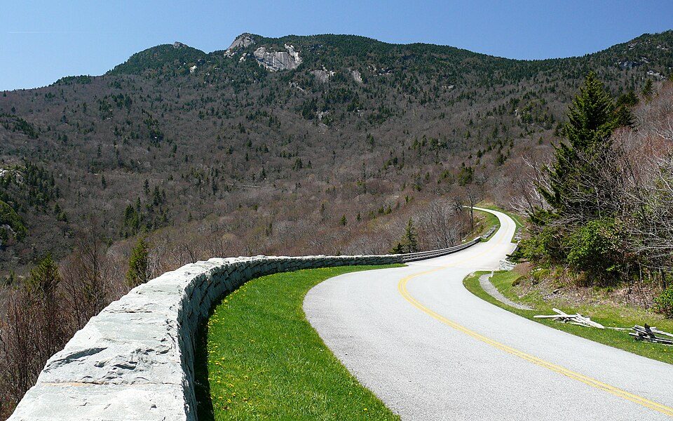 66 mi ParkwayBlue Ridge Parkway16.5M visitors a year
 30 mi LandmarkProject Greek Island
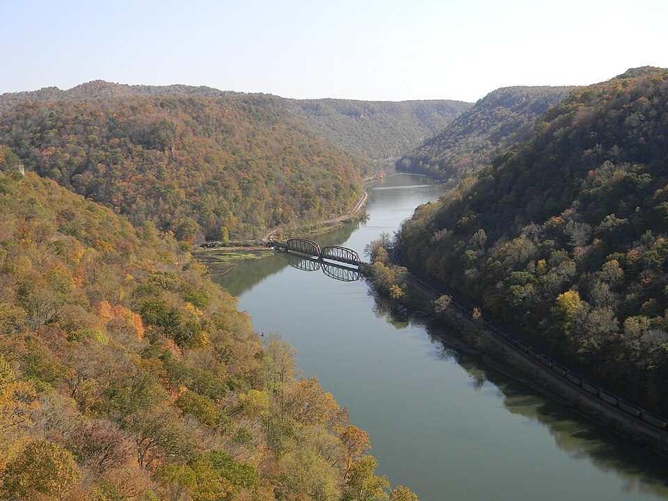 57 mi National PreserveNew River Gorge National Park and Preserve2.0M visitors a year
 51 mi LakeSmith Mountain Lake
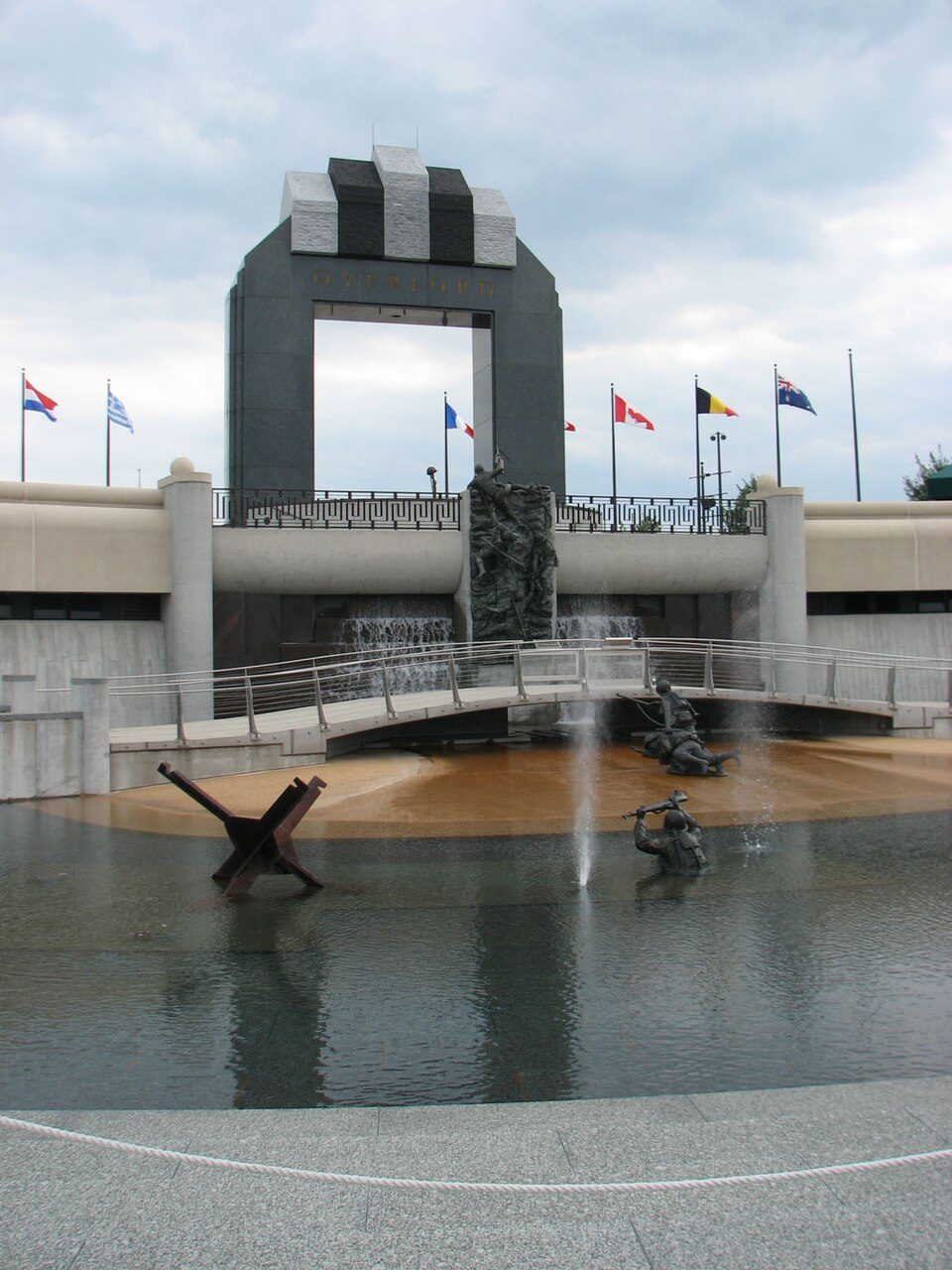 46 mi LandmarkNational D-Day Memorial
 324 mi MuseumVirginia Museum of Transportation
Photo credits
Lane Stadium: User:B, CC BY-SA 4.0 · Mountain Lake: Rolfmueller, CC BY-SA 3.0 · Blue Ridge Parkway: Ken Thomas, Public domain · Project Greek Island: Z22, CC BY-SA 4.0 · New River Gorge National Park and Preserve: NKS22, Public domain · Smith Mountain Lake: Jay White, Public domain · National D-Day Memorial: RebelAt at English Wikipedia, Public domain · Virginia Museum of Transportation: Warfieldian, CC BY-SA 3.0


Appalachian Trail in questions
What town is Appalachian Trail near?
Blacksburg, VA, about 9 miles south.
When is the best time to visit Appalachian Trail?
April, May, June, July, August, September and October, with highs of 66–84°.
How far is Appalachian Trail from Greensboro?
About 92 miles south of Greensboro, as the crow flies.
What is the closest airport to Appalachian Trail?
Roanoke–Blacksburg Regional (ROA), about 22 miles away. The nearest big hub is Piedmont Triad (GSO), about 90 miles.
Where should I stay near Appalachian Trail?
Blacksburg (9 mi, 17 places to stay), Christiansburg (15 mi, 20 places to stay) and Roanoke (24 mi, 44 places to stay).
Inside knowledge from Blacksburg
Ask a question, or answer one, in Blacksburg’s Town Square.
Sources: National Park Service · ski areas © OpenSkiMap / OpenStreetMap contributors · Wikidata · Wikipedia readership · NOAA climate normals · U.S. Census.