
Great Sand Dunes National Park
Great Sand Dunes National Park and Preserve is a national park of the United States that conserves an area of large sand dunes on the eastern edge of the San Luis Valley, and an adjacent national preserve in the Sangre de Cristo Range, in south-central Colorado. This one stands 20 mi east of Hooper. Management falls to the National Park Service. The 2025 count was 432K visitors.

A national park, 20 mi east of Hooper
Winters are cold
January nights drop to 5°, with about 25" of snow a year. When to go ↓
Plan where you’ll sleep
The nearest town with many places to stay is Crestone, 21 miles northwest. Where to stay ↓
65% of visits come in May–Aug
June is the busiest month, with about 87,308 visitors. January sees about 5,560. When to go ↓
One of the most looked-up attractions in the U.S.
About 68K people a year read its Wikipedia article, more than for 95% of the 7,770 attractions we track.
Best months: Jun, Jul and Aug
June, July and August are the mild months, with highs of 79–82°. When to go ↓
Written from National Park Service visitor counts, NOAA 1991–2020 normals, Overture places to stay, Census town figures, Wikidata and Wikipedia. Updated when the Park Service posts a new month.
When to visit
A visit to Great Sand Dunes can follow the busy and quiet months below.
Great Sand Dunes National Park
Great Sand Dunes National Park and Preserve is a national park of the United States that conserves an area of large sand dunes on the eastern edge of the San Luis Valley, and an adjacent national preserve in the Sangre de Cristo Range, in south-central Colorado. The park was originally designated Great Sand Dunes National Monument on March 17, 1932, by President Herbert Hoover. The original boundaries protected an area of 35,528 acres (55.5 sq mi; 143.8 km2). A boundary change and redesignation as a national park and preserve was authorized on November 22, 2000, and then established on September 24, 2004. The park encompasses 107,342 acres (167.7 sq mi; 434.4 km2) while the preserve protects an additional 41,686 acres (65.1 sq mi; 168.7 km2) for a total of 149,028 acres (232.9 sq mi; 603.1 km2). The recreational visitor total was 527,546 in 2019.
- Type
- National Park
- Established
- 2004
- Area
- 133 square miles
- Run by
- National Park Service
- Listed
- International Dark Sky Park (2019)
- Wikipedia readers
- 68K a year
- Official site
- nps.gov/grsa
Before you set off
- Private Vehicle$25
- Non-commercial Groups$15
- Motorcycle$20
- Commercial Entrance - Sedan$25
Staying near Great Sand Dunes National Park
You can sleep inside the park (1 place). The closest towns with hotels, motels or campgrounds are Alamosa (14) and Crestone (6).
Stay in the park
- Pinyon Flats Campground campground
Alamosa
The closest town with somewhere to stay.
9,849 people
27 mi southwest of Great Sand Dunes Visitor Center · 16 mi to the park
Alamosa East
1,298 people
25 mi southwest of Great Sand Dunes Visitor Center · 15 mi to the park
Compare 8 towns
| Town | From the visitor center | Drive | Places to stay | People | Typical home | Safety |
|---|---|---|---|---|---|---|
| Alamosa | 27 mi southwest | 40 min | 14 11 hotels · 1 motel · 1 inn or B&B · 1 RV park | 9,849 | $225K | D− |
| Crestone | 21 mi northwest | 30 min | 6 1 hotel · 3 inns & B&Bs · 1 lodge or cabins · 1 campground | 166 | — | — |
| Alamosa East | 25 mi southwest | 40 min | 7 5 hotels · 1 inn or B&B · 1 campground | 1,298 | $264K | — |
| Westcliffe 21% vacation homes | 28 mi north | 40 min | 9 1 hotel · 3 motels · 2 inns & B&Bs · 2 lodges & cabins · 1 RV park | 488 | $342K | — |
| La Veta | 32 mi southeast | 45 min | 10 3 hotels · 1 inn or B&B · 2 lodges & cabins · 1 campground · 3 RV parks | 859 | $389K | — |
| Fort Garland | 22 mi south | 30 min | 3 2 motels · 1 RV park | 446 | $259K | — |
| Hooper | 20 mi west | 30 min | 2 2 campgrounds | 77 | $159K | — |
| Blanca | 20 mi south | 30 min | 2 1 campground · 1 RV park | 320 | $164K | — |
Getting there
Nearest airports with airline service, from the visitor center
What else is near Great Sand Dunes
All of these are within 67 miles.
 50 mi Canyon & gorgeRoyal Gorge
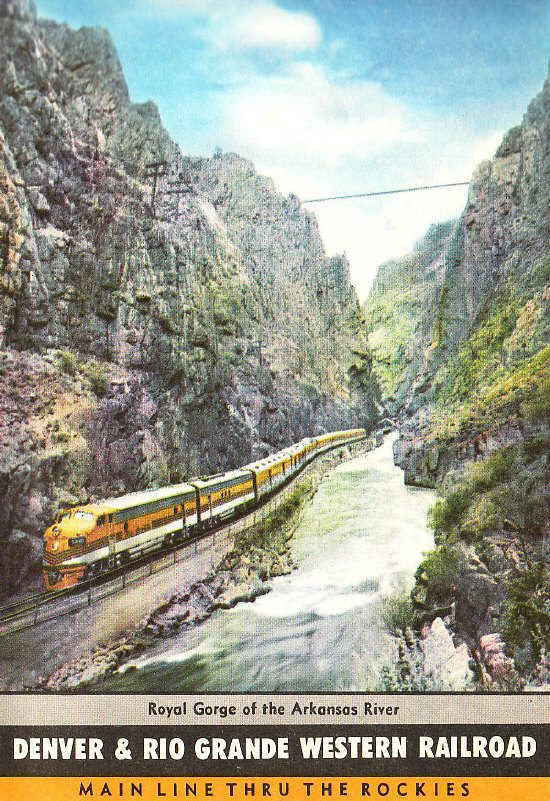 51 mi Scenic railwayRoyal Gorge Route Railroad
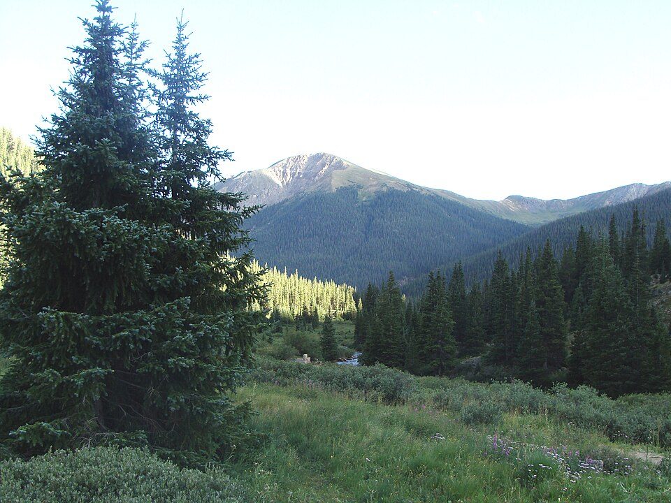 131 mi National forestSan Isabel National Forest
 220 mi Zoo & aquariumColorado Gators Reptile Park334 mi Ski areaCuchara Mountain Resort31 runs · 1,504 ft vertical
 67 mi MuseumPueblo Weisbrod Aircraft Museum
 59 mi Zoo & aquariumPueblo Zoo
 435 mi City parkNorth Cheyenne Cañon Park
Photo credits
Royal Gorge: Unknown, CC BY-SA 3.0 · Royal Gorge Route Railroad: Self-scanned by original uploader JGHowes at en.wikipedia (Original text: From , Public domain · San Isabel National Forest: Zereshk, CC BY-SA 3.0 · Colorado Gators Reptile Park: Rolf BlauertDk4hb, Public domain · Pueblo Weisbrod Aircraft Museum: LanceBarber at English Wikipedia, Public domain · Pueblo Zoo: Jeffrey, CC BY-SA 3.0 · North Cheyenne Cañon Park: Dennis Graham, CC BY-SA 3.0


Visits reached 432,498 in 2025
These are the visits counted between 2016 and 2025.
Great Sand Dunes: common questions
What town is Great Sand Dunes National Park near?
Hooper, CO, about 20 miles west.
When is the best time to visit Great Sand Dunes National Park?
June, July and August, with highs of 79–82°. June is the busiest month (about 87,308 visitors).
How many people visit Great Sand Dunes National Park each year?
432,498 in 2025, according to the National Park Service. The record is 602,613, set in 2021.
How far is Great Sand Dunes National Park from Colorado Springs?
About 88 miles northeast of Colorado Springs, as the crow flies.
What is the closest airport to Great Sand Dunes National Park?
San Luis Valley Regional Airport/Bergman Field (ALS), about 28 miles away. The nearest big hub is City of Colorado Springs Municipal (COS), about 86 miles.
Where should I stay near Great Sand Dunes National Park?
Inside the park: Pinyon Flats Campground. Nearby: Alamosa (27 mi, 14 places to stay), Crestone (21 mi, 6 places to stay) and Alamosa East (25 mi, 7 places to stay).
Tips from Hooper
No one has shared advice yet; Hooper’s Town Square takes questions.
Sources: National Park Service · ski areas © OpenSkiMap / OpenStreetMap contributors · Wikidata · Wikipedia readership · National Park Service visitor use statistics · NOAA climate normals · U.S. Census.