Cuchara Mountain Resort
Set 13 mi southwest of La Veta, Cuchara Mountain Resort is a ski area. Highs of 44–46°F mark the coldest months, January, February and December.
A ski area, 13 mi southwest of La Veta
About 51 inches of snow a year
The nearest weather station records about 51" of snow in a normal winter, with January nights around 15°. When to go ↓
La Veta is the nearest base
La Veta is 13 miles northeast, with 10 places to stay. Where to stay ↓
Written from NOAA 1991–2020 normals and Overture places to stay, Census town figures.
The weather by month
Below are typical highs and lows near Cuchara Mountain.
Staying near Cuchara Mountain Resort
The first towns with rooms are La Veta (10) and Fort Garland (3).
La Veta
The closest town with somewhere to stay.
859 people
13 mi northeast of Cuchara Mountain
Compare 7 towns
| Town | From Cuchara Mountain | Drive | Places to stay | People | Typical home |
|---|---|---|---|---|---|
| La Veta | 13 mi northeast | 20 min | 10 3 hotels · 1 inn or B&B · 2 lodges & cabins · 1 campground · 3 RV parks | 859 | $389K |
| Stonewall Gap 80% vacation homes | 14 mi south | 20 min | 2 1 lodge or cabins · 1 campground | 45 | $269K |
| Fort Garland | 18 mi west | 25 min | 3 2 motels · 1 RV park | 446 | $259K |
| Walsenburg | 28 mi northeast | 40 min | 6 3 hotels · 1 motel · 1 inn or B&B · 1 campground | 3,039 | $147K |
| Blanca | 22 mi west | 35 min | 2 1 campground · 1 RV park | 320 | $164K |
| San Luis | 19 mi southwest | 30 min | 1 1 hotel | 597 | $99K |
| Aguilar | 26 mi east | 40 min | 1 1 RV park | 445 | $96K |
Getting there
Nearest airports with airline service
Around Cuchara Mountain
All of these are within 68 miles.
 34 mi National ParkGreat Sand Dunes National Park432K visitors a year
 57 mi MountainWheeler Peak
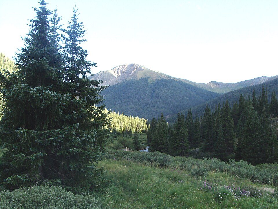 48 mi National forestSan Isabel National Forest56 mi Ski areaTaos Ski Valley103 runs · 2,468 ft vertical47 mi Ski areaRed River Ski Area85 runs · 1,629 ft vertical67 mi Ski areaAngel Fire Resort101 runs · 2,205 ft vertical67 mi MuseumMillicent Rogers Museum
 48 mi Zoo & aquariumColorado Gators Reptile Park
Photo credits
Great Sand Dunes National Park: Preiselbeere (talk), CC BY-SA 3.0 · Wheeler Peak: Davishan99, CC BY-SA 3.0 · San Isabel National Forest: Zereshk, CC BY-SA 3.0 · Colorado Gators Reptile Park: Rolf BlauertDk4hb, Public domain


Cuchara Mountain: what to know
What town is Cuchara Mountain Resort near?
La Veta, CO, about 13 miles northeast.
What is the closest airport to Cuchara Mountain Resort?
San Luis Valley Regional Airport/Bergman Field (ALS), about 41 miles away. The nearest big hub is City of Colorado Springs Municipal (COS), about 104 miles.
Where should I stay near Cuchara Mountain Resort?
La Veta (13 mi, 10 places to stay), Fort Garland (18 mi, 3 places to stay) and Walsenburg (28 mi, 6 places to stay).
What locals in La Veta say
Start the conversation in La Veta’s Town Square.
Sources: National Park Service · ski areas © OpenSkiMap / OpenStreetMap contributors · Wikidata · Wikipedia readership · NOAA climate normals · U.S. Census.