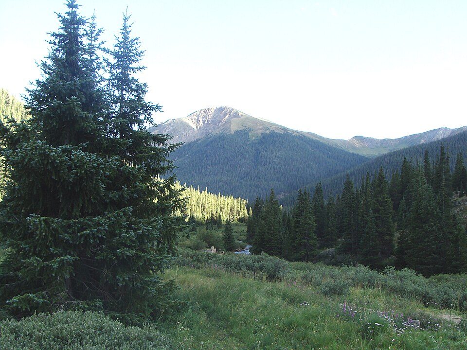
San Isabel National Forest
San Isabel National Forest is located in central Colorado. The site is 7 mi west of Beulah Valley. Records date it to 1902.

A national forest, 7 mi west of Beulah Valley
Plan where you’ll sleep
The nearest town with many places to stay is Westcliffe, 20 miles west. Where to stay ↓
Winters are cold
January nights drop to 20°, with about 130" of snow a year. When to go ↓
Established in 1902
San Isabel National Forest dates from 1902. About ↓
Best months: May, Jun, Aug and Sep
May, June, August and September are the mild months, with highs of 71–82°. When to go ↓
Written from NOAA 1991–2020 normals, Overture places to stay, Census town figures, Wikidata and Wikipedia.
When to go
The months below show the weather around San Isabel National Forest.
San Isabel National Forest
San Isabel National Forest is located in central Colorado. The forest contains 19 of the state's 53 fourteeners, peaks over 14,000 feet (4,267 m) high, including Mount Elbert, the highest point in Colorado.
It is one of eleven national forests in the state of Colorado and contains the Sawatch Range, the Collegiate Peaks, and Sangre de Cristo Range. It has a total area of 1,120,233 acres (1,750.364 sq mi; 4,533.42 km2) spread out over parts of eleven counties in central Colorado. In descending order of land area it is located in Chaffee, Custer, Lake, Huerfano, Fremont, Pueblo, Saguache, Las Animas, Park, Costilla, and Summit counties.
- Type
- National forest
- Established
- 1902
- Wikipedia readers
- 6.2K a year
A base for San Isabel National Forest
Places to stay start in Rye (4) and Westcliffe (9).
Rye
The closest town with somewhere to stay.
201 people · 33% vacation homes
13 mi southeast of San Isabel National Forest
Compare 8 towns
| Town | From San Isabel National Forest | Drive | Places to stay | People | Typical home | Safety |
|---|---|---|---|---|---|---|
| Rye 33% vacation homes | 13 mi southeast | 20 min | 4 1 inn or B&B · 2 lodges & cabins · 1 RV park | 201 | $266K | — |
| Beulah Valley | 7 mi east | 10 min | 2 1 hotel · 1 lodge or cabins | 751 | $334K | — |
| Westcliffe 21% vacation homes | 20 mi west | 30 min | 9 1 hotel · 3 motels · 2 inns & B&Bs · 2 lodges & cabins · 1 RV park | 488 | $342K | — |
| Cañon City | 28 mi north | 40 min | 18 11 hotels · 6 motels · 1 lodge or cabins | 17,030 | $316K | D |
| Florence | 23 mi north | 35 min | 9 2 hotels · 1 motel · 3 inns & B&Bs · 3 RV parks | 3,856 | $250K | C |
| Colorado City | 16 mi southeast | 25 min | 2 1 hotel · 1 campground | 1,615 | $259K | — |
| Silver Cliff | 17 mi west | 25 min | 2 1 hotel · 1 inn or B&B | 713 | $269K | — |
| Coal Creek | 22 mi north | 35 min | 1 1 campground | 361 | $199K | — |
Getting there
Nearest airports with airline service
Combine it with these
Within 68 miles you can add these well-known places.
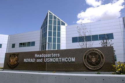 Big draw48 mi LandmarkNorth American Aerospace Defense Command
 Big draw55 mi MountainPikes Peak
 31 mi National ParkGreat Sand Dunes National Park432K visitors a year
 59 mi Park & preserveGarden of the Gods
 128 mi Canyon & gorgeRoyal Gorge
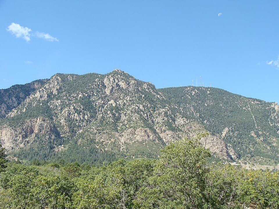 49 mi MountainCheyenne Mountain
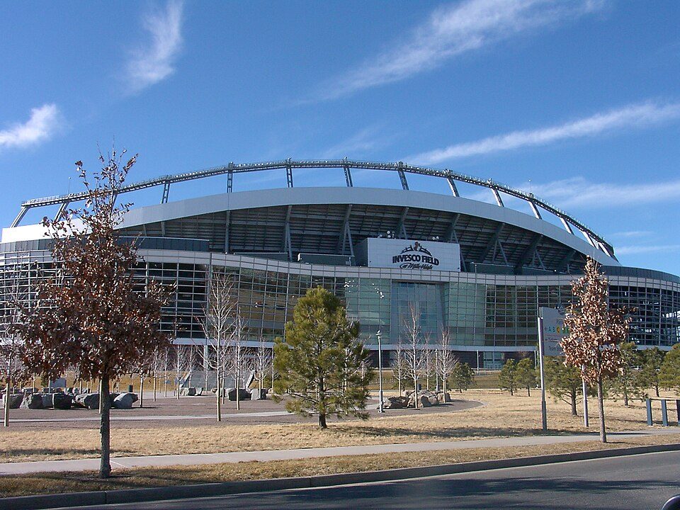 56 mi Stadium & arenaWeidner Field
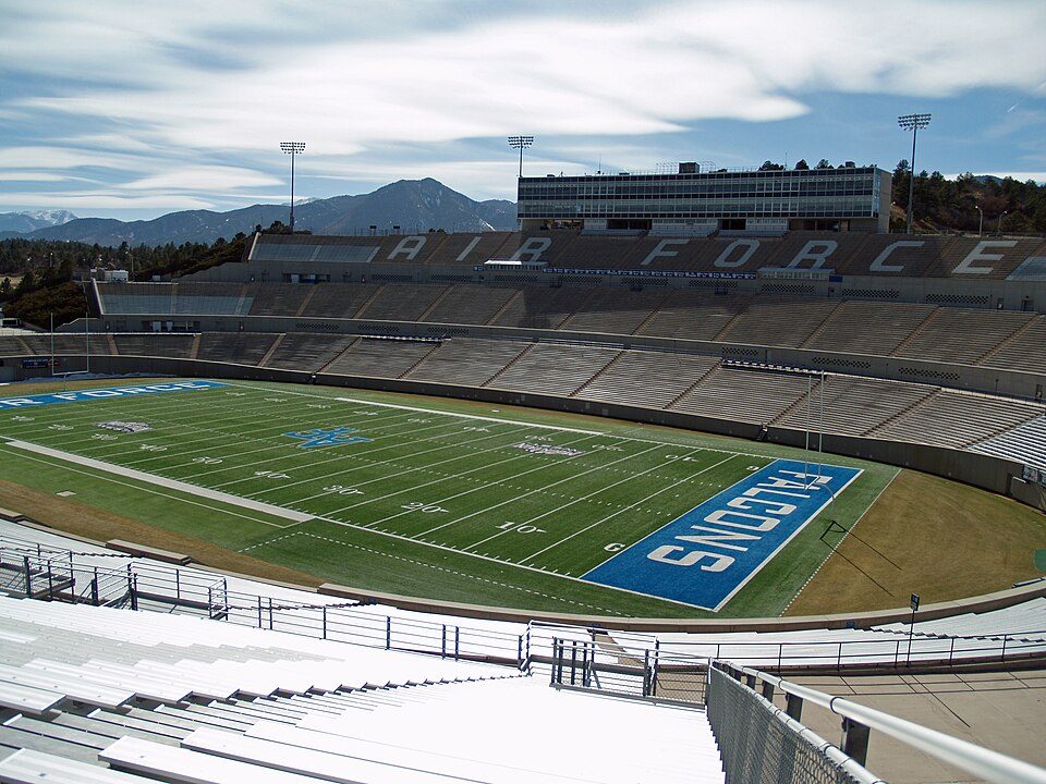 67 mi Stadium & arenaFalcon Stadium
Photo credits
North American Aerospace Defense Command: Unknown, Public domain · Pikes Peak: David Shankbone, CC BY-SA 3.0 · Great Sand Dunes National Park: Preiselbeere (talk), CC BY-SA 3.0 · Garden of the Gods: Dicklyon, CC BY-SA 4.0 · Royal Gorge: Unknown, CC BY-SA 3.0 · Cheyenne Mountain: Jimmy from Grand Junction, CO, CC BY-SA 2.0 · Weidner Field: KM Newnham, CC BY-SA 2.5 · Falcon Stadium: David Shankbone, CC BY-SA 3.0


Know before you visit San Isabel National Forest
What town is San Isabel National Forest near?
Beulah Valley, CO, about 7 miles east.
When is the best time to visit San Isabel National Forest?
May, June, August and September, with highs of 71–82°.
How far is San Isabel National Forest from Colorado Springs?
About 60 miles north of Colorado Springs, as the crow flies.
What is the closest airport to San Isabel National Forest?
Pueblo Memorial (PUB), about 37 miles away. The nearest big hub is City of Colorado Springs Municipal (COS), about 57 miles.
Where should I stay near San Isabel National Forest?
Rye (13 mi, 4 places to stay), Westcliffe (20 mi, 9 places to stay) and Cañon City (28 mi, 18 places to stay).
Inside knowledge from Beulah Valley
Share what you know in Beulah Valley’s Town Square.
Sources: National Park Service · ski areas © OpenSkiMap / OpenStreetMap contributors · Wikidata · Wikipedia readership · NOAA climate normals · U.S. Census.