
DuPont State Forest
DuPont State Recreational Forest, commonly known as DuPont Forest, is a 12,500-acre (5,100 ha) state forest, located in Henderson and Transylvania counties of North Carolina. It is 6 mi north of Caesars Head. The first name on our list around it is Pisgah National Forest, 16 mi away.

A park & preserve, 6 mi north of Caesars Head
Caesars Head is the nearest base
Caesars Head is 6 miles south, with 5 places to stay. Where to stay ↓
A day trip from Charlotte
Charlotte is about 100 miles east (straight-line). Where to stay ↓
Best months: Apr, May, Jun, Jul, Aug, Sep and Oct
April, May, June, July, August, September and October are the mild months, with highs of 69–83°. When to go ↓
Written from NOAA 1991–2020 normals, Overture places to stay, Census town figures, Wikidata and Wikipedia.
Choosing a month
Plan a visit to DuPont State Forest around the weather below.
DuPont State Forest
DuPont State Recreational Forest, commonly known as DuPont Forest, is a 12,500-acre (5,100 ha) state forest, located in Henderson and Transylvania counties of North Carolina. The name originates from the fact that the DuPont company arranged the sale of the original tract to the state. Adjacent tracts have since been purchased and added to the state forest. Portions of the forest formerly contained a manufacturing facility for the production of X-ray film. The forest was used to shoot scenes from the 1992 film The Last of the Mohicans as well as the 2012 box office hit The Hunger Games. On February 12, 2019, the forest added 402 acres (163 ha) from Conserving Carolina, part of a section called the Continental Divide Tract that connects with other public lands. 314 acres (127 ha) was added to the forest in 2019.
- Type
- Park & preserve
- Area
- 16 square miles
- Wikipedia readers
- 7.7K a year
Overnight near DuPont State Forest
Nearest for a night are Brevard (21) and Asheville (139).
Brevard
The closest town with somewhere to stay.
8,098 people
8 mi northwest of DuPont State Forest
Compare 8 towns
| Town | From DuPont State Forest | Drive | Places to stay | People | Typical home | Safety |
|---|---|---|---|---|---|---|
| Brevard | 8 mi northwest | 15 min | 21 7 hotels · 1 motel · 5 inns & B&Bs · 3 lodges & cabins · 3 campgrounds · 2 RV parks | 8,098 | $450K | B− |
| Asheville | 26 mi north | 40 min | 139 89 hotels · 7 motels · 28 inns & B&Bs · 7 lodges & cabins · 3 hostels · 2 campgrounds · 3 RV parks | 93,523 | $440K | D− |
| Hendersonville | 12 mi northeast | 20 min | 20 10 hotels · 1 motel · 6 inns & B&Bs · 3 lodges & cabins | 15,867 | $317K | C− |
| Flat Rock | 9 mi northeast | 15 min | 8 3 hotels · 1 inn or B&B · 2 lodges & cabins · 2 campgrounds | 3,643 | $602K | — |
| Valley Hill | 9 mi northeast | 15 min | 7 2 hotels · 1 inn or B&B · 1 lodge or cabins · 3 campgrounds | 2,675 | $353K | — |
| Greenville | 28 mi southeast | 40 min | 76 70 hotels · 5 inns & B&Bs · 1 campground | 75,310 | $488K | D |
| Caesars Head 95% vacation homes | 6 mi south | 10 min | 5 4 campgrounds · 1 RV park | 11 | — | — |
| Fletcher | 17 mi north | 25 min | 18 10 hotels · 1 motel · 3 inns & B&Bs · 3 campgrounds · 1 RV park | 8,373 | $331K | B |
Getting there
Nearest airports with airline service
Next door to DuPont State Forest
A wider trip can take in these, within 67 miles.
 Big draw67 mi Theme parkDollywood3.4M visitors a year
 Big draw43 mi MountainMount Mitchell
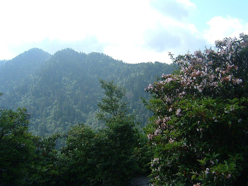 Big draw55 mi National ParkGreat Smoky Mountains National Park11.5M visitors a year
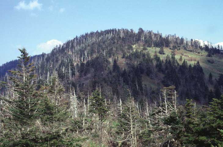 Big draw57 mi MountainKuwohi
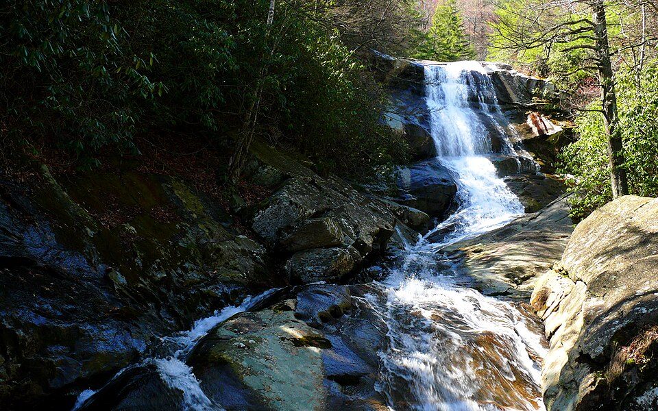 116 mi National forestPisgah National Forest
 38 mi Stadium & arenaMemorial Stadium, Clemson37 mi Theme parkGhost Town in the Sky
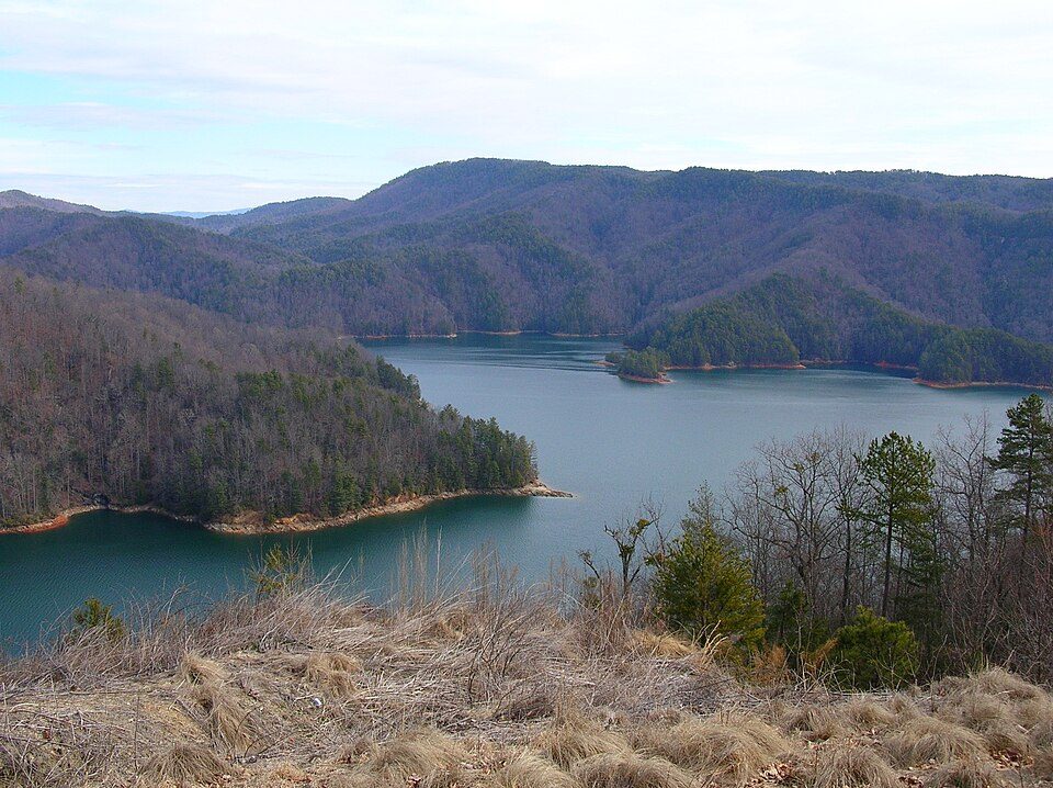 225 mi LakeLake Jocassee
Photo credits
Dollywood: Brian Stansberry (photographer), CC BY 2.5 · Mount Mitchell: Unknown, Public domain · Great Smoky Mountains National Park: Scott Basford, CC BY-SA 3.0 · Kuwohi: C. Kenneth Dodd, Jr., Public domain · Pisgah National Forest: Ken Thomas, Public domain · Memorial Stadium, Clemson: Caseyh at English Wikipedia, CC BY-SA 3.0 · Lake Jocassee: Clemson3564, Public domain


Quick answers on DuPont State Forest
What town is DuPont State Forest near?
Caesars Head, SC, about 6 miles south.
When is the best time to visit DuPont State Forest?
April, May, June, July, August, September and October, with highs of 69–83°.
How far is DuPont State Forest from Charlotte?
About 100 miles east of Charlotte, as the crow flies.
What is the closest airport to DuPont State Forest?
Asheville Regional (AVL), about 17 miles away. The nearest big hub is McGhee Tyson (TYS), about 89 miles.
Where should I stay near DuPont State Forest?
Brevard (8 mi, 21 places to stay), Asheville (26 mi, 139 places to stay) and Hendersonville (12 mi, 20 places to stay).
Ask people in Caesars Head
Start the conversation in Caesars Head’s Town Square.
Sources: National Park Service · ski areas © OpenSkiMap / OpenStreetMap contributors · Wikidata · Wikipedia readership · NOAA climate normals · U.S. Census.