
Mount Mitchell
Mount Mitchell (Attakulla in Cherokee) is the highest peak of the Appalachian Mountains and the highest peak in mainland North America east of the Mississippi River.

A mountain, 8 mi north of Montreat
One of the most looked-up attractions in the U.S.
About 174K people a year read its Wikipedia article, more than for 98% of the 7,799 attractions we track.
Montreat is the nearest base
Montreat is 8 miles south, with 12 places to stay. Where to stay ↓
A day trip from Charlotte
Charlotte is about 89 miles southeast (straight-line). Where to stay ↓
Best months: Apr, May, Jun, Jul, Aug, Sep and Oct
April, May, June, July, August, September and October are the mild months, with highs of 65–80°. When to go ↓
Written from NOAA 1991–2020 normals, Overture places to stay, Census town figures, Wikidata and Wikipedia.
Weather, month by month
Typical highs and lows in Montreat. Green months are the mild ones.
Mount Mitchell
Mount Mitchell (Attakulla in Cherokee) is the highest peak of the Appalachian Mountains and the highest peak in mainland North America east of the Mississippi River. It is located near Burnsville in Yancey County, North Carolina, in the Black Mountain subrange of the Appalachians about 19 miles (31 km) northeast of Asheville. It is protected by Mount Mitchell State Park and surrounded by the Pisgah National Forest. Mount Mitchell's elevation is 6,684 feet (2,037 m) above sea level. Mount Mitchell is ranked 31st by topographic isolation.
- Type
- Mountain
- Elevation
- 6,683 ft
- Wikipedia readers
- 174K a year
Where to stay near Mount Mitchell
The closest towns with hotels, motels or campgrounds are Asheville (139) and Black Mountain (20).
Asheville
The closest town with somewhere to stay.
93,523 people
21 mi southwest of Mount Mitchell
Compare 8 towns
| Town | From Mount Mitchell | Drive | Places to stay | People | Typical home | Safety |
|---|---|---|---|---|---|---|
| Asheville | 21 mi southwest | 30 min | 139 89 hotels · 7 motels · 28 inns & B&Bs · 7 lodges & cabins · 3 hostels · 2 campgrounds · 3 RV parks | 93,523 | $440K | D− |
| Black Mountain | 11 mi south | 15 min | 20 5 hotels · 2 motels · 5 inns & B&Bs · 4 lodges & cabins · 4 campgrounds | 8,491 | $359K | B |
| Montreat 92% vacation homes | 8 mi south | 10 min | 12 3 inns & B&Bs · 5 lodges & cabins · 4 campgrounds | 1,024 | $606K | — |
| Old Fort | 11 mi southeast | 15 min | 7 2 hotels · 1 lodge or cabins · 4 campgrounds | 797 | $136K | — |
| Lake Lure 38% vacation homes | 22 mi south | 35 min | 30 8 hotels · 2 inns & B&Bs · 19 lodges & cabins · 1 campground | 1,391 | $627K | — |
| Burnsville | 11 mi north | 15 min | 6 2 hotels · 1 motel · 2 inns & B&Bs · 1 lodge or cabins | 1,655 | $244K | — |
| Marion | 16 mi east | 25 min | 11 5 hotels · 4 motels · 2 campgrounds | 7,440 | $164K | D |
| Spruce Pine | 15 mi northeast | 25 min | 9 4 hotels · 2 motels · 1 inn or B&B · 1 campground · 1 RV park | 2,211 | $208K | — |
Getting there
Nearest airports with airline service
Also near Mount Mitchell
Other well-known places within 67 miles. Numbered ones are on the map above.
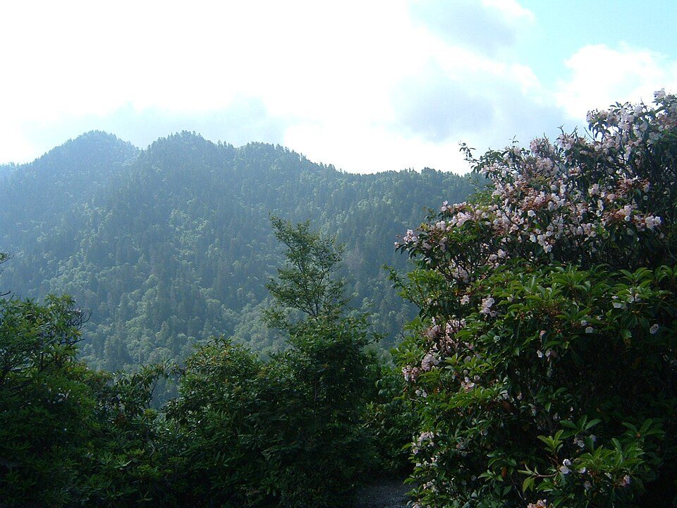 Big draw66 mi National ParkGreat Smoky Mountains National Park11.5M visitors a year
 35 mi MountainGrandfather Mountain
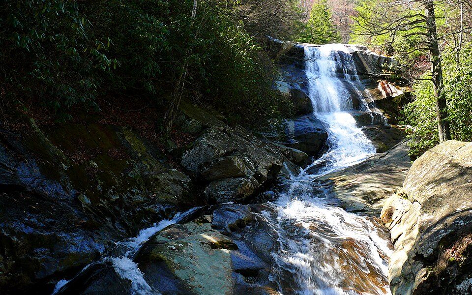 41 mi National forestPisgah National Forest50 mi Theme parkGhost Town in the Sky
 66 mi MountainMount Le Conte44 mi Theme parkTweetsie Railroad
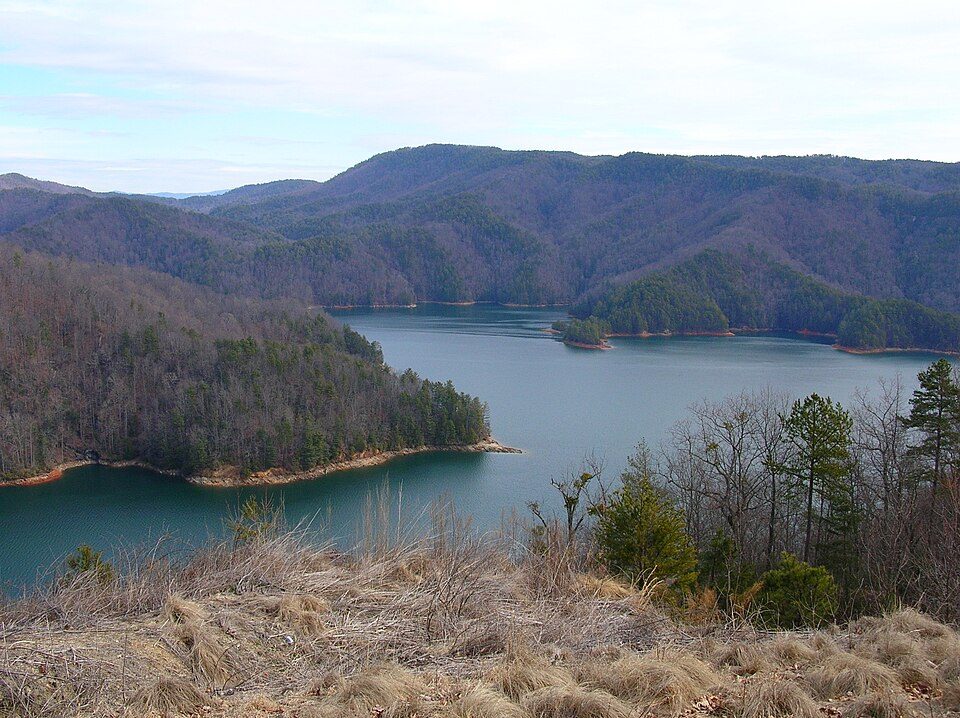 67 mi LakeLake Jocassee
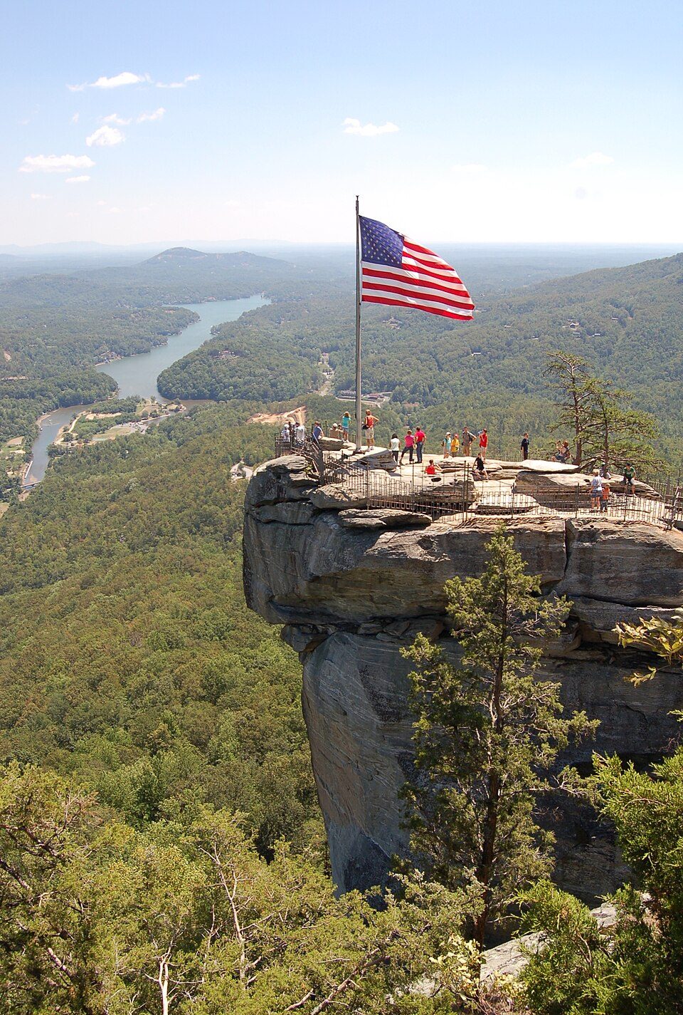 123 mi State parkChimney Rock State Park
Photo credits
Great Smoky Mountains National Park: Scott Basford, CC BY-SA 3.0 · Grandfather Mountain: Original uploader was KyleAndMelissa22 at en.wikipedia, Public domain · Pisgah National Forest: Ken Thomas, Public domain · Mount Le Conte: No machine-readable author provided. Blinutne assumed (based on copyright claims, CC BY-SA 3.0 · Lake Jocassee: Clemson3564, Public domain · Chimney Rock State Park: Jmturner, Public domain


Visiting Mount Mitchell
What town is Mount Mitchell near?
Montreat, NC, about 8 miles south.
When is the best time to visit Mount Mitchell?
April, May, June, July, August, September and October, with highs of 65–80°.
How far is Mount Mitchell from Charlotte?
About 89 miles southeast of Charlotte, as the crow flies.
What is the closest airport to Mount Mitchell?
Asheville Regional (AVL), about 28 miles away. The nearest big hub is Charlotte Douglas (CLT), about 84 miles.
Where should I stay near Mount Mitchell?
Asheville (21 mi, 139 places to stay), Black Mountain (11 mi, 20 places to stay) and Montreat (8 mi, 12 places to stay).
Tips from people in Montreat
No tips yet. Ask, or answer, in Montreat’s Town Square.
Sources: National Park Service · ski areas © OpenSkiMap / OpenStreetMap contributors · Wikidata · Wikipedia readership · NOAA climate normals · U.S. Census.