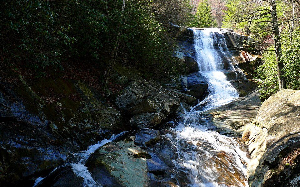
Pisgah National Forest
Pisgah National Forest is a National Forest in the Appalachian Mountains of western North Carolina. It lies 9 mi northwest of Brevard. Our list goes on with Ghost Town in the Sky, 21 mi away.

A national forest, 9 mi northwest of Brevard
Brevard is the nearest base
Brevard is 9 miles southeast, with 21 places to stay. Where to stay ↓
Best months: Apr, May, Jun, Jul, Aug, Sep and Oct
April, May, June, July, August, September and October are the mild months, with highs of 68–83°. When to go ↓
Written from NOAA 1991–2020 normals, Overture places to stay, Census town figures, Wikidata and Wikipedia.
The climate here
Pick a month for Pisgah National Forest from the weather below.
Pisgah National Forest
Pisgah National Forest is a National Forest in the Appalachian Mountains of western North Carolina. It is administered by the United States Forest Service, part of the United States Department of Agriculture. The Pisgah National Forest is completely contained within the state of North Carolina. The forest is managed together with the other three North Carolina National Forests (Croatan, Nantahala, and Uwharrie) from common headquarters in Asheville, North Carolina. There are local ranger district offices located in Pisgah Forest, Mars Hill, and Nebo.
- Type
- National forest
- Area
- 802 square miles
- Wikipedia readers
- 33K a year
Overnight near Pisgah National Forest
The first towns with rooms are Asheville (139) and Maggie Valley (85).
Asheville
The closest town with somewhere to stay.
93,523 people
20 mi northeast of Pisgah National Forest
Compare 8 towns
| Town | From Pisgah National Forest | Drive | Places to stay | People | Typical home | Safety |
|---|---|---|---|---|---|---|
| Asheville | 20 mi northeast | 30 min | 139 89 hotels · 7 motels · 28 inns & B&Bs · 7 lodges & cabins · 3 hostels · 2 campgrounds · 3 RV parks | 93,523 | $440K | D− |
| Maggie Valley 44% vacation homes | 19 mi northwest | 30 min | 85 20 hotels · 12 motels · 12 inns & B&Bs · 32 lodges & cabins · 4 campgrounds · 5 RV parks | 1,748 | $321K | — |
| Brevard | 9 mi southeast | 15 min | 21 7 hotels · 1 motel · 5 inns & B&Bs · 3 lodges & cabins · 3 campgrounds · 2 RV parks | 8,098 | $450K | B− |
| Waynesville | 15 mi northwest | 20 min | 28 10 hotels · 2 motels · 10 inns & B&Bs · 5 lodges & cabins · 1 campground | 11,006 | $282K | D |
| Fletcher | 17 mi east | 25 min | 18 10 hotels · 1 motel · 3 inns & B&Bs · 3 campgrounds · 1 RV park | 8,373 | $331K | B |
| Lake Junaluska 25% vacation homes | 16 mi northwest | 25 min | 14 6 hotels · 1 motel · 3 inns & B&Bs · 3 lodges & cabins · 1 campground | 3,175 | $389K | — |
| Hendersonville | 19 mi east | 30 min | 20 10 hotels · 1 motel · 6 inns & B&Bs · 3 lodges & cabins | 15,867 | $317K | C− |
| Cherokee | 30 mi west | 45 min | 59 17 hotels · 13 motels · 2 inns & B&Bs · 12 lodges & cabins · 15 campgrounds | 2,059 | $190K | — |
Getting there
Nearest airports with airline service
More to see nearby
More places people know lie within 67 miles.
 Big draw51 mi Theme parkDollywood3.4M visitors a year
 Big draw41 mi MountainMount Mitchell
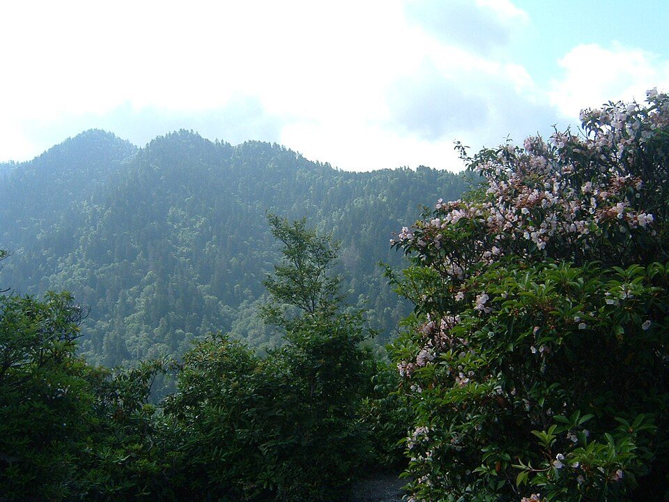 Big draw40 mi National ParkGreat Smoky Mountains National Park11.5M visitors a year
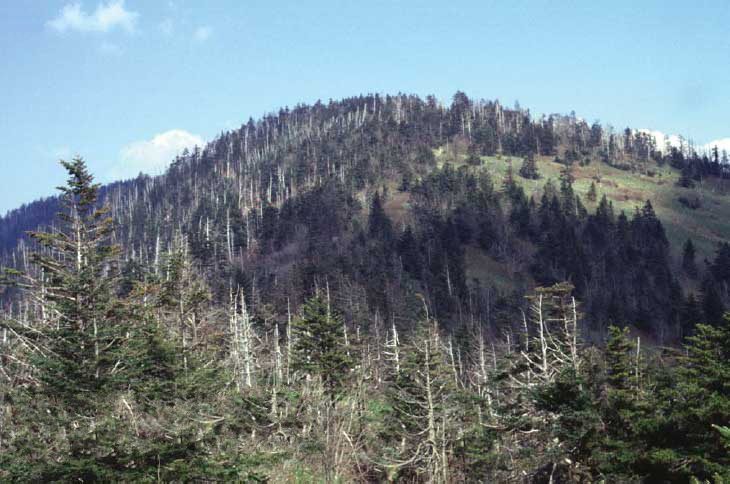 Big draw42 mi MountainKuwohi121 mi Theme parkGhost Town in the Sky
 47 mi Stadium & arenaMemorial Stadium, Clemson
 42 mi MountainMount Le Conte
 67 mi MountainBrasstown Bald
Photo credits
Dollywood: Brian Stansberry (photographer), CC BY 2.5 · Mount Mitchell: Unknown, Public domain · Great Smoky Mountains National Park: Scott Basford, CC BY-SA 3.0 · Kuwohi: C. Kenneth Dodd, Jr., Public domain · Memorial Stadium, Clemson: Caseyh at English Wikipedia, CC BY-SA 3.0 · Mount Le Conte: No machine-readable author provided. Blinutne assumed (based on copyright claims, CC BY-SA 3.0 · Brasstown Bald: Unknown, Public domain


Know before you visit Pisgah National Forest
What town is Pisgah National Forest near?
Brevard, NC, about 9 miles southeast.
When is the best time to visit Pisgah National Forest?
April, May, June, July, August, September and October, with highs of 68–83°.
What is the closest airport to Pisgah National Forest?
Asheville Regional (AVL), about 15 miles away. The nearest big hub is McGhee Tyson (TYS), about 74 miles.
Where should I stay near Pisgah National Forest?
Asheville (20 mi, 139 places to stay), Maggie Valley (19 mi, 85 places to stay) and Brevard (9 mi, 21 places to stay).
From people who live in Brevard
Start the conversation in Brevard’s Town Square.
Sources: National Park Service · ski areas © OpenSkiMap / OpenStreetMap contributors · Wikidata · Wikipedia readership · NOAA climate normals · U.S. Census.