
Dixie National Forest
Dixie National Forest is a United States national forest in Utah with headquarters. Look for it 13 mi northwest of Boulder. The site is in the hands of the United States Forest Service.

A national forest, 13 mi northwest of Boulder
Plan where you’ll sleep
The nearest town with many places to stay is Escalante, 18 miles south. Where to stay ↓
Winters are cold
January nights drop to 20°, with about 52" of snow a year. When to go ↓
Established in 1905
Dixie National Forest dates from 1905 and is run by United States Forest Service. About ↓
Best months: May, Jun, Jul, Aug and Sep
May, June, July, August and September are the mild months, with highs of 67–84°. When to go ↓
Written from NOAA 1991–2020 normals, Overture places to stay, Census town figures, Wikidata and Wikipedia.
A month-by-month look
Each month’s highs and lows around Dixie National Forest are below.
Dixie National Forest
Dixie National Forest is a United States national forest in Utah with headquarters in Cedar City. It occupies almost two million acres (8,000 km2) and stretches for about 170 miles (270 km) across southern Utah. The largest national forest in Utah, it straddles the divide between the Great Basin and the Colorado River. In descending order of forestland area it is located in parts of Garfield, Washington, Iron, Kane, Wayne, and Piute counties. The majority (over 55%) of forest acreage lies in Garfield County.
Elevations vary from 2,800 feet (850 m) above sea level near St. George, Utah to 11,322 feet (3,451 m) at Blue Bell Knoll on Boulder Mountain. The southern rim of the Great Basin, near the Colorado River, provides spectacular scenery. Colorado River canyons are made up of multi-colored cliffs and steep-walled gorges.
- Type
- National forest
- Established
- 1905
- Area
- 2,952 square miles
- Run by
- United States Forest Service
- Wikipedia readers
- 6.2K a year
Overnight near Dixie National Forest
The closest lodging is in Escalante (16) and Torrey (15).
Escalante
The closest town with somewhere to stay.
817 people
18 mi south of Dixie National Forest
Compare 6 towns
| Town | From Dixie National Forest | Drive | Places to stay | People | Typical home |
|---|---|---|---|---|---|
| Escalante | 18 mi south | 25 min | 16 5 hotels · 2 motels · 2 inns & B&Bs · 3 lodges & cabins · 2 campgrounds · 2 RV parks | 817 | $352K |
| Torrey 43% vacation homes | 23 mi northeast | 35 min | 15 6 hotels · 2 motels · 1 inn or B&B · 2 lodges & cabins · 1 campground · 3 RV parks | 257 | $408K |
| Teasdale 31% vacation homes | 21 mi northeast | 30 min | 7 1 hotel · 1 motel · 3 lodges & cabins · 2 campgrounds | 308 | $614K |
| Boulder 30% vacation homes | 13 mi southeast | 20 min | 2 1 inn or B&B · 1 lodge or cabins | 248 | — |
| Loa | 27 mi north | 40 min | 5 2 hotels · 1 inn or B&B · 1 lodge or cabins · 1 RV park | 504 | $436K |
| Bicknell | 23 mi north | 35 min | 2 2 motels | 322 | $371K |
Getting there
Nearest airports with airline service
More near Dixie National Forest
These well-known places are within 64 miles.
 Big draw39 mi National ParkBryce Canyon National Park2.0M visitors a year
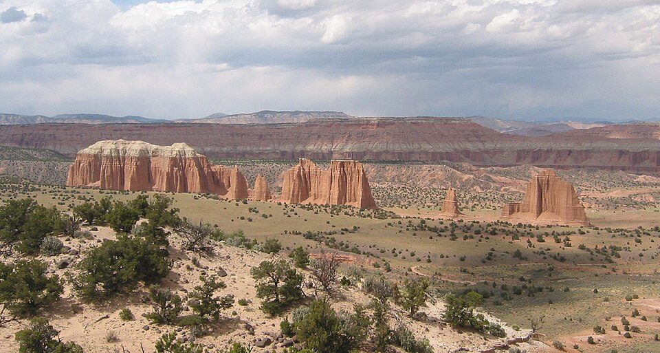 128 mi National ParkCapitol Reef National Park1.4M visitors a year
 43 mi Park & preserveGrand Staircase–Escalante National Monument
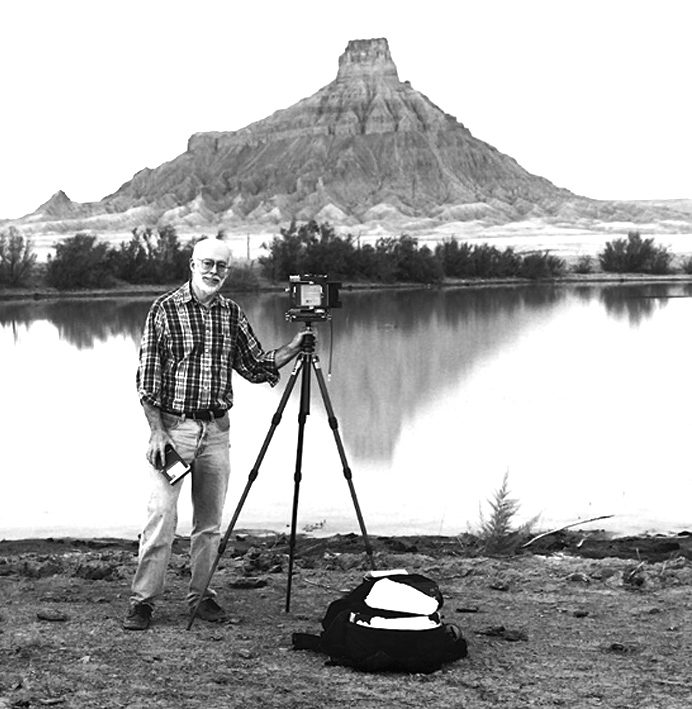 49 mi MountainFactory Butte
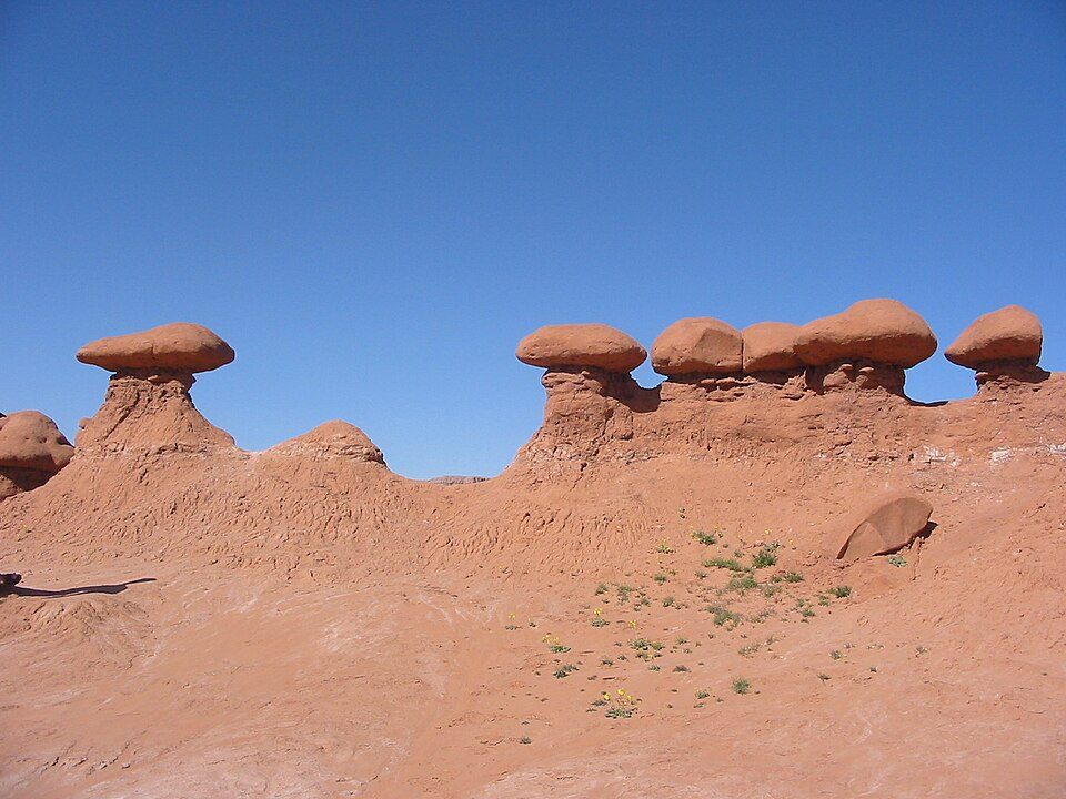 63 mi State parkGoblin Valley State Park63 mi Canyon & gorgeRobbers Roost
 51 mi National forestFishlake National Forest
 45 mi Scenic driveUtah State Route 12
Photo credits
Bryce Canyon National Park: Luca Galuzzi (Lucag), CC BY-SA 2.5 · Capitol Reef National Park: Bob Palin, CC BY-SA 2.5 · Grand Staircase–Escalante National Monument: John Fowler from Placitas, NM, USA, CC BY 2.0 · Factory Butte: Ken Karagozian, CC BY-SA 4.0 · Goblin Valley State Park: Donar Reiskoffer, CC BY 3.0 · Fishlake National Forest: Mark Muir, Public domain · Utah State Route 12: Christian Mehlführer, User:Chmehl, CC BY-SA 3.0


Asked about Dixie National Forest
What town is Dixie National Forest near?
Boulder, UT, about 13 miles southeast.
When is the best time to visit Dixie National Forest?
May, June, July, August and September, with highs of 67–84°.
What is the closest airport to Dixie National Forest?
Page Municipal (PGA), about 76 miles away. The nearest big hub is Salt Lake City (SLC), about 192 miles.
Where should I stay near Dixie National Forest?
Escalante (18 mi, 16 places to stay), Torrey (23 mi, 15 places to stay) and Teasdale (21 mi, 7 places to stay).
Notes from people in Boulder
There are no tips yet, so start one in Boulder’s Town Square.
Sources: National Park Service · ski areas © OpenSkiMap / OpenStreetMap contributors · Wikidata · Wikipedia readership · NOAA climate normals · U.S. Census.