
Utah State Route 12
State Route 12 or Scenic Byway 12 (SR-12), also known as "Highway 12 — A Journey Through Time Scenic Byway", is a 123-mile-long (198 km) state highway designated an All-American Road located in Garfield County and Wayne County, Utah, United States. Its address puts it 2 mi southeast of Torrey. It dates back to 1914.

A scenic drive, 2 mi southeast of Torrey
No airline airport nearby
The closest airport with airline service is Canyonlands Regional (CNY), 94 miles away.
Winters are cold
January nights drop to 16°. When to go ↓
Torrey is the nearest base
Torrey is 2 miles northwest, with 15 places to stay. Where to stay ↓
Established in 1914
Utah State Route 12 dates from 1914. About ↓
Best months: Jun, Aug and Sep
June, August and September are the mild months, with highs of 74–82°. When to go ↓
Written from NOAA 1991–2020 normals, Overture places to stay, Census town figures, Wikidata and Wikipedia.
The year’s weather
This is the year’s weather near Utah State Route 12.
Utah State Route 12
State Route 12 or Scenic Byway 12 (SR-12), also known as "Highway 12 — A Journey Through Time Scenic Byway", is a 123-mile-long (198 km) state highway designated an All-American Road located in Garfield County and Wayne County, Utah, United States.
- Type
- Scenic drive
- Established
- 1914
- Wikipedia readers
- 8K a year
Where to base yourself for Utah State Route 12
Hotels, motels or campgrounds are closest in Torrey (15) and Teasdale (7).
Torrey
The closest town with somewhere to stay.
257 people · 43% vacation homes
2 mi northwest of Utah State Route 12
Compare 5 towns
| Town | From Utah State Route 12 | Drive | Places to stay | People | Typical home |
|---|---|---|---|---|---|
| Torrey 43% vacation homes | 2 mi northwest | 5 min | 15 6 hotels · 2 motels · 1 inn or B&B · 2 lodges & cabins · 1 campground · 3 RV parks | 257 | $408K |
| Teasdale 31% vacation homes | 4 mi west | 5 min | 7 1 hotel · 1 motel · 3 lodges & cabins · 2 campgrounds | 308 | $614K |
| Loa | 15 mi northwest | 25 min | 5 2 hotels · 1 inn or B&B · 1 lodge or cabins · 1 RV park | 504 | $436K |
| Bicknell | 8 mi west | 10 min | 2 2 motels | 322 | $371K |
| Boulder 30% vacation homes | 26 mi south | 40 min | 2 1 inn or B&B · 1 lodge or cabins | 248 | — |
Getting there
Nearest airports with airline service
Pair Utah State Route 12 with these
These lie within 62 miles as the crow flies.
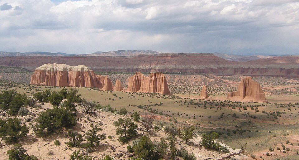 114 mi National ParkCapitol Reef National Park1.4M visitors a year
 Big draw62 mi National ParkBryce Canyon National Park2.0M visitors a year
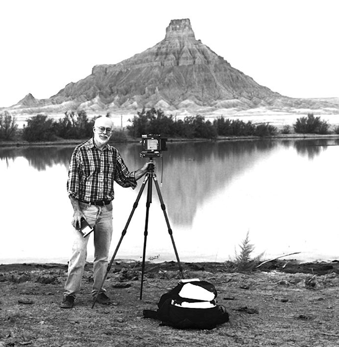 228 mi MountainFactory Butte
 61 mi Park & preserveGrand Staircase–Escalante National Monument
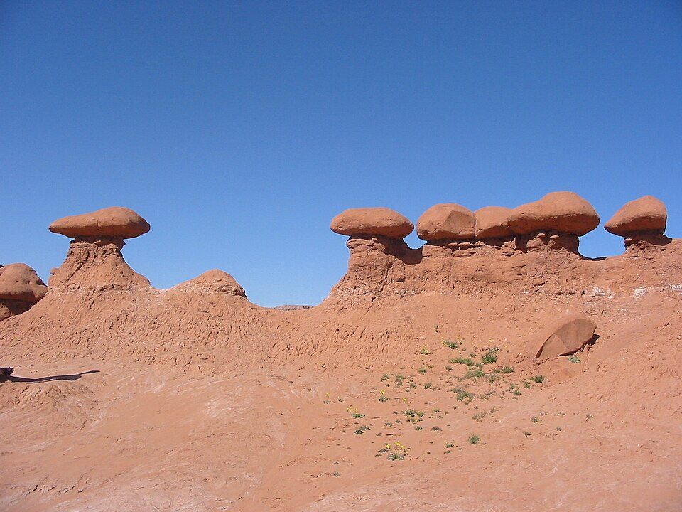 42 mi State parkGoblin Valley State Park
 61 mi Canyon & gorgeBluejohn Canyon47 mi Canyon & gorgeRobbers Roost
 41 mi National forestFishlake National Forest
Photo credits
Capitol Reef National Park: Bob Palin, CC BY-SA 2.5 · Bryce Canyon National Park: Luca Galuzzi (Lucag), CC BY-SA 2.5 · Factory Butte: Ken Karagozian, CC BY-SA 4.0 · Grand Staircase–Escalante National Monument: John Fowler from Placitas, NM, USA, CC BY 2.0 · Goblin Valley State Park: Donar Reiskoffer, CC BY 3.0 · Bluejohn Canyon: Michael Grindstaff, CC BY-SA 3.0 · Fishlake National Forest: Mark Muir, Public domain


Questions people have about Utah State Route 12
What town is Utah State Route 12 near?
Torrey, UT, about 2 miles northwest.
When is the best time to visit Utah State Route 12?
June, August and September, with highs of 74–82°.
What is the closest airport to Utah State Route 12?
Canyonlands Regional (CNY), about 94 miles away. The nearest big hub is Salt Lake City (SLC), about 175 miles.
Where should I stay near Utah State Route 12?
Torrey (2 mi, 15 places to stay), Teasdale (4 mi, 7 places to stay) and Loa (15 mi, 5 places to stay).
What locals in Torrey say
Nobody has posted a tip yet; ask or answer in Torrey’s Town Square.
Sources: National Park Service · ski areas © OpenSkiMap / OpenStreetMap contributors · Wikidata · Wikipedia readership · NOAA climate normals · U.S. Census.