Guest, Sign inJoin

Post to Boulder

We’ll email a one-tap link to publish your post. No password, and nothing is public until you click it.
Already a member? Sign in
Boulder
Utah›Garfield County

BoulderUT

A town of 248, settled in 1890.

Trash & recycling
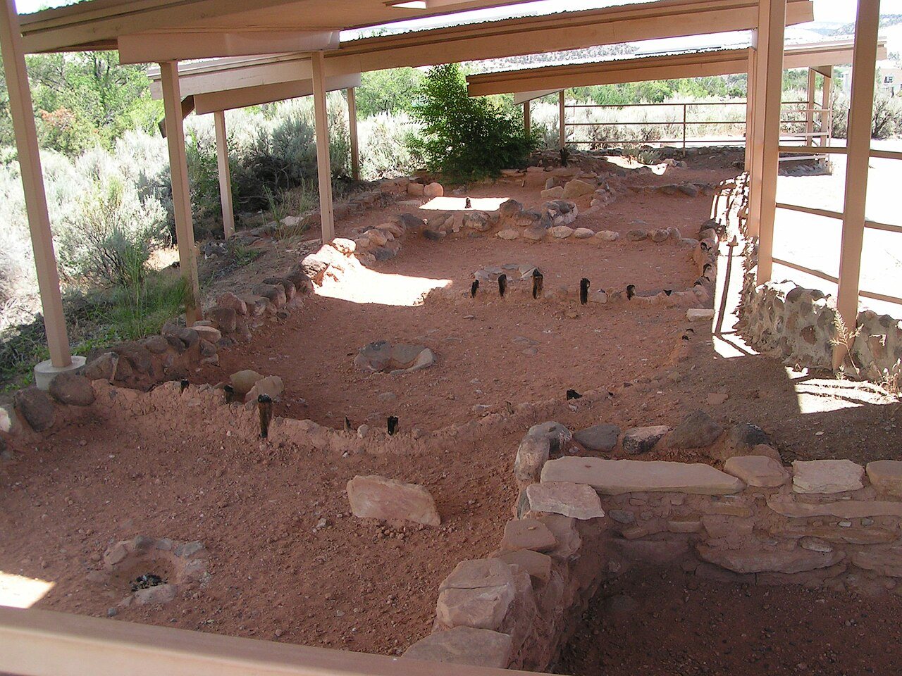
Coombs Village Site · Photo: Nickeyrc · Public domain
Photo of Boulder

Boulder, UT · Coombs Village Site · Photo: Nickeyrc · Public domain

Is Boulder a good place to live?

66% of the land in Boulder is conserved, where Utah’s towns sit at 3.4% and U.S. towns at 4.3%. Boulder has 2 places on the National Register of Historic Places, among them Coombs Village Site and Boulder Elementary School. Boulder has fewer than 1,000 residents, too few for fair grades; the figures below are still real.

Small town

248 people, and everyone knows the way

In a town this size, neighbors are the best guide. Ask them anything.

Nearby towns
Coombs Village Site
Coombs Village Site · National Register of Historic Places
Boulder’s story

136 years in pictures

Census counts: 104 in 1900, a low of 91 in 1910, 227 in 2020. The archive holds 6 old photos and papers going back to 1925 and 2 maps from 1964 on.

2 places on the National Register of Historic Places.

  • 1890Boulder is settled
Explore the history →
Getting set up

Moving to Boulder: who provides what

Who provides power, water and the rest in Boulder, and how to reach them.

The full setup list →
PowerGarkane Energy Coop11.6¢/kWh · EIA 2025HIFLD · EIA
WaterBoulder Farmstead Water CoNo health-based violations in 5 years · EPAEPA
Internet1 providers80% of addresses get 100/20 MbpsFCC
Trash & dumpBoulder LandfillDrop-offTown site
SchoolsGarfield School DistrictWhich school depends on your addressNCES
Register to voteOnlineIn Utah you can register online until 11 days before Election Day, in person up to and including Election Day, or by mail (received 11 days before).vote.gov
Who runs elections hereGarfield County Auditor/ClerkGarfield County; contacts on the Handbook page.FVAP, Nov 2025
ZIP code8471684716 100%Census 2020

EPA SDWIS (Oct 9, 2026) · HIFLD + EIA-861 2025 · Census 2020 ZCTAs · NCES 2024–25 · registration: vote.gov, updated Mar 13, 2026.

The data

Ordered by what stands out in Boulder.

Outdoors

nearly a third of the land in Boulder is protected from building

In Boulder, the trail density is 0.9 miles per square mile, against 1.1 in Utah’s towns and 0.4 across U.S. towns. Count the trails in 3 parks and preserves and they come to 19 miles.

66.2%conserved
66.2%
conserved · 8,813 of 13,315 acres
19 mi
of trails · 0.9 per sq mi
Biggest places to walkTrailsAcres
1. Boulder Town Park0.3 mi8
2. North Escalante Canyons/The Gulch Instant Study Area—158
3. Anasazi State Park—6

Trails & parks © OpenStreetMap contributors · Conserved land: USGS PAD-US

Schools

The schools Boulder’s kids attend

The public schools here belong to the Garfield District. Its one school is below.

SchoolLevelStudentsLetter
Boulder SchoolLargest public elementary schoolGrades PK–6Grades PK–67–

NCES · EDFacts

Who lives here

44% of residents are 65 or older

Since 2020, Boulder has grown 6.4%, to 248 residents in the Census Bureau’s 2025 estimate. Nearly a third of adults 25 and older hold at least a bachelor’s degree, against 38% across Utah.

42.4median age · UT 32
BoulderUtahUnited States

Ages · share of residents

Education · adults 25 and older

No diploma6%
High school33%
Some college16%
Associate’s13%
Bachelor’s22%
Graduate11%

Women and men · all residents

Somewhere between 45% and 82% women

The Census survey reached too few of Boulder’s residents to say more: its margin here is ±18.7 points. Across Utah, 49.3% of residents are women.

Ages and education in Boulder
BoulderUTU.S.
Under 1019.2%14.6%11.6%
10 to 170.8%13.2%10.3%
18 to 243.6%11.6%9.1%
25 to 343.1%14.8%13.7%
35 to 4424.4%13.8%13.2%
45 to 542.5%11%12.2%
55 to 642.2%9.1%12.7%
65 to 7437.5%7.3%10.2%
75 and older6.7%4.6%7%
No diploma5.5%6.6%10.4%
High school33.1%22.3%26%
Some college16.4%23.5%19.1%
Associate’s13.1%9.9%8.8%
Bachelor’s21.5%24.7%21.6%
Graduate10.5%13%14.1%

Census population estimates, 2025 · U.S. Census Bureau · ACS 2020-2024 5-year estimates · in a town of 200, single groups can be off by several points

Natural hazards

Natural hazards: very low risk in Boulder, mostly inland flooding

Of the losses FEMA expects in Boulder, 35% come from inland flooding and 26% from heat waves. Expected damage from storms and floods is lower here than in 82% of U.S. communities.

18risk score of 100
FEMA risk score
18Very low riskLowerHigher
Inland floodingHeat wavesAvalanches

FEMA National Risk Index · OpenFEMA

Climate

Boulder has snowy winters and pleasant summers

The town’s peak summer temperature is 84°F.

52″snow a winter

Typical low → high °F

Winter20–40°
Spring34–59°
Summer55–81°
Fall38–61°
Oct 14
typical first frost
May 4
typical last frost
+1.9°
vs. the 20th-century average

NOAA U.S. Climate Normals, 1991–2020

Work & commute

The average trip to work in Boulder is shorter than in the typical Utah or U.S. town

The top destinations are Bryce Canyon City (18%), Escalante (9%) and Tropic (8%). No town among the 120 in Utah we compare has a higher share of residents below the poverty line than Boulder. Between 2013 and 2023, jobs in the town rose by 24, to 104. For working residents in the town, the share who work locally is 2.2%.

2%work in town
BoulderUtah townsU.S. towns
Average trip to work7 minutes22 minutes25 minutes
Below the poverty line24%6.2%9.6%
Working residents who work in town2.2%8.4%8%

Where working residents work

In Boulder2%
Bryce Canyon City18%
Escalante9%
Tropic8%
Panguitch5%
44 mi
median commute distance
104
jobs based in Boulder
Balanced
jobs vs. working residents

Census LEHD 2023 · ACS

Health

A larger share of adults have diabetes in Boulder than in most of Utah or the rest of the country

Boulder: a quarter of adults have been diagnosed with depression. Only 2 of the 119 Utah towns we compare have a higher share of adults who have high blood pressure than Boulder. Of 32 CDC measures, Boulder beats the Utah average on 4 and trails it on 10.

BoulderUtah townsU.S. towns
Binge drink (CDC PLACES)10%11%16%
Feel lonely (CDC PLACES)29%33%33%
High blood pressure (CDC PLACES)37%28%35%
Diabetes (CDC PLACES)13%8.4%12%
32 measures vs. Utah
4 better18 too close to call10 worse
What stands outBoulderUT
Fewer binge drinkers10.1%12.4%
More adults treating high blood pressure75.5%65.6%
More adults with heart disease7.9%4.7%
Intermountain Health Garfield Memorial Hospital
54.7 mi away · emergency room
3 of 3
care shortages: primary care, dental, mental health

CDC PLACES 2025 · modeled estimates for adults · CMS · HRSA

Nearby attractions

Bryce Canyon National Park and 5 more within 40 miles

Museums, parks, gardens and other places to visit around Boulder. Close and well known come first.

All 13 attractions →
Sources: National Park Service · ski areas © OpenSkiMap / OpenStreetMap contributors · Wikidata · Wikipedia readership · photos via Wikimedia Commons
Photo credits

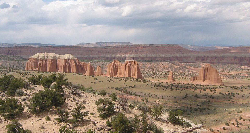
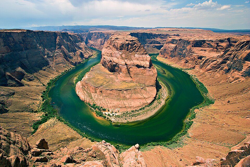
Bryce Canyon National Park: Luca Galuzzi (Lucag), CC BY-SA 2.5 · Capitol Reef National Park: Bob Palin, CC BY-SA 2.5 · Grand Staircase–Escalante National Monument: John Fowler from Placitas, NM, USA, CC BY 2.0 · Glen Canyon National Recreation Area: User:Moondigger, CC BY-SA 2.5 · Utah State Route 12: Christian Mehlführer, User:Chmehl, CC BY-SA 3.0 · Anasazi State Park Museum: Nickeyrc, Public domain

Keep exploring

Everything we know about Boulder

16pages on Boulder
After high school

Colleges nearby

None within 15 miles of Boulder; the nearest are

Get outside

19 miles of trails in Boulder

66.2% of the town is conserved land, across 3 parks and preserves.

Map of trails and conserved land in BoulderConservedTrails
1
Boulder Town Park0.3 mi of trails · 8 acres
Directions
2
North Escalante Canyons/The Gulch Instant Study Area158 acres
3
Anasazi State Park6 acres
Directions
Trails © OpenStreetMap contributors · USGS PAD-US

About Boulder

Town in the state of Utah, United States

Official town website ↗

Boulder is a town in Garfield County, Utah, United States, 27 miles (44 km) northeast of Escalante on Utah Scenic Byway 12 at its intersection with the Burr Trail. As of the 2020 census, the town population was 227. Boulder was isolated from other communities until the Civilian Conservation Corps built a road from Escalante, and did not get electric power until 1947. The town marks the western terminus of Burr Trail, a mostly paved road that runs eastward through red rock country to the Waterpocket Fold in Capitol Reef National Park. Boulder is the home of Anasazi Indian State Park.

From Wikipedia, licensed CC BY-SA 4.0 · facts via Wikidata (CC0)

Established
1890
Area
21 sq mi
Elevation
6,703 ft
ZIP code
84716
Area code
435

Questions about Boulder

Short answers, built from the data on this page.

Is Boulder, UT a good place to live?

Boulder has fewer than 1,000 residents, too few for fair grades; the figures below are still real.