
Slack-Comstock-Marshall Farm · National Register of Historic Places
Uniontown’s story
145 years in pictures
The archive holds 3 maps from 1898 on.
1 place on the National Register of Historic Places.
- 1881Uniontown is settled
Each edition grades its towns against each other only.

168 people live in this town, settled in 1881.
Slack-Comstock-Marshall Farm is on the National Register of Historic Places. Uniontown has fewer than 1,000 residents, too few for fair grades; the figures below are still real.
In a town this size, neighbors are the best guide. Ask them anything.
The archive holds 3 maps from 1898 on.
1 place on the National Register of Historic Places.
Uniontown is unincorporated, so Crawford County and regional agencies provide most services.
EPA SDWIS (Oct 9, 2026) · HIFLD + EIA-861 2025 · Census 2020 ZCTAs · NCES 2024–25 · registration: vote.gov, updated Nov 18, 2024.
Ordered by what stands out in Uniontown.
Uniontown’s natural-hazard score from FEMA stands at 68 of 100, where Arkansas’ towns sit at 66 of 100 and U.S. towns at 44 of 100. 39% of the town’s expected losses from natural hazards come from inland flooding, followed by tornadoes at 16%. Households in the town have drawn federal disaster aid in 3 declared disasters, most recently in 2019.
FEMA disaster declarations and aid · FEMA National Risk Index · OpenFEMA
Uniontown’s July high stands at 91°F, near the Arkansas town median (92°F) and above the median of U.S. towns (85°F).
NOAA U.S. Climate Normals, 1991–2020
For adults in Uniontown, the share who worry about having enough food is 25%. Among 124 Arkansas towns, just one has a higher share of adults who have been diagnosed with depression than Uniontown. The town beats the Arkansas average on 1 of 32 CDC measures and trails it on 13.
| Uniontown | Arkansas towns | U.S. towns | |
|---|---|---|---|
| Smoke cigarettes (CDC PLACES) | 23% | 17% | 14% |
| Frequent mental distress (CDC PLACES) | 23% | 20% | 17% |
| Frequent physical distress (CDC PLACES) | 19% | 16% | 14% |
| Fair or poor health (CDC PLACES) | 30% | 25% | 19% |
| What stands out | Uniontown | AR |
|---|---|---|
| Fewer adults who have had cancer | 6.9% | 8.2% |
| More smokers | 22.9% | 15.8% |
CDC PLACES 2025 · modeled estimates for adults · CMS · HRSA
69% of Uniontown households own their home.
Census ACS, 2020–24 · Zillow Home Value Index · Redfin Data Center
Museums, parks, gardens and other places to visit around Uniontown. Close and well known come first.
 20 mi Ancient siteSpiro Mounds
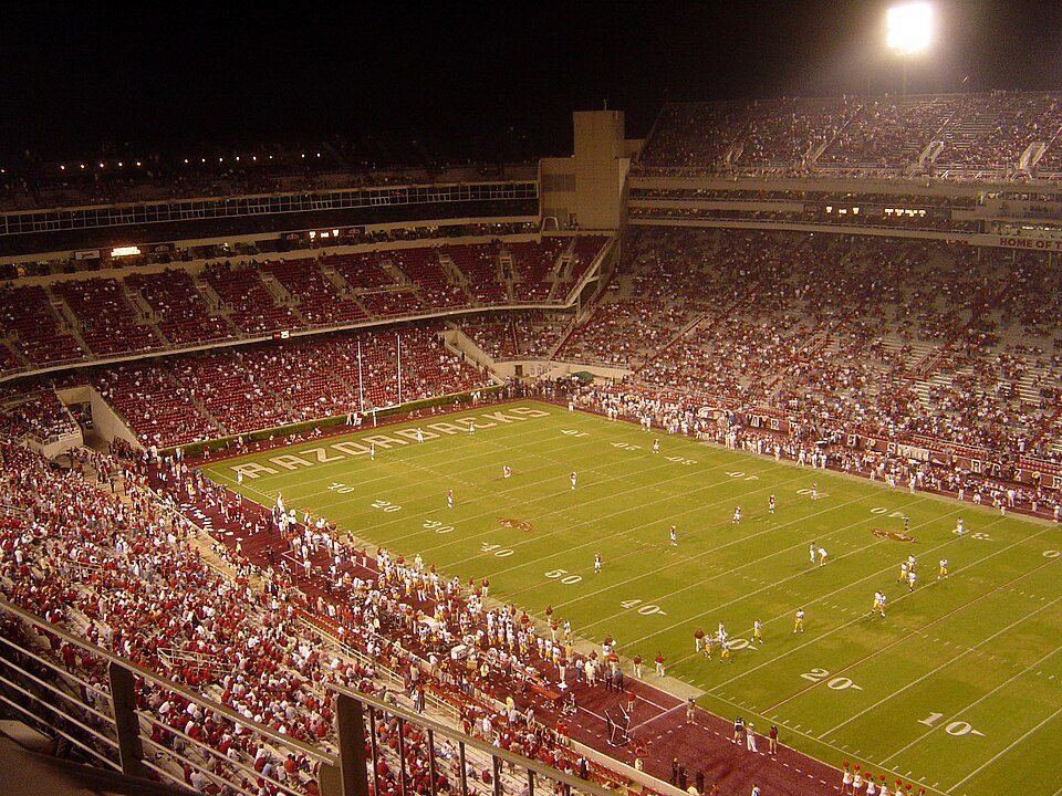 37 mi Stadium & arenaDonald W. Reynolds Razorback Stadium
 17 mi State parkDevil's Den State Park
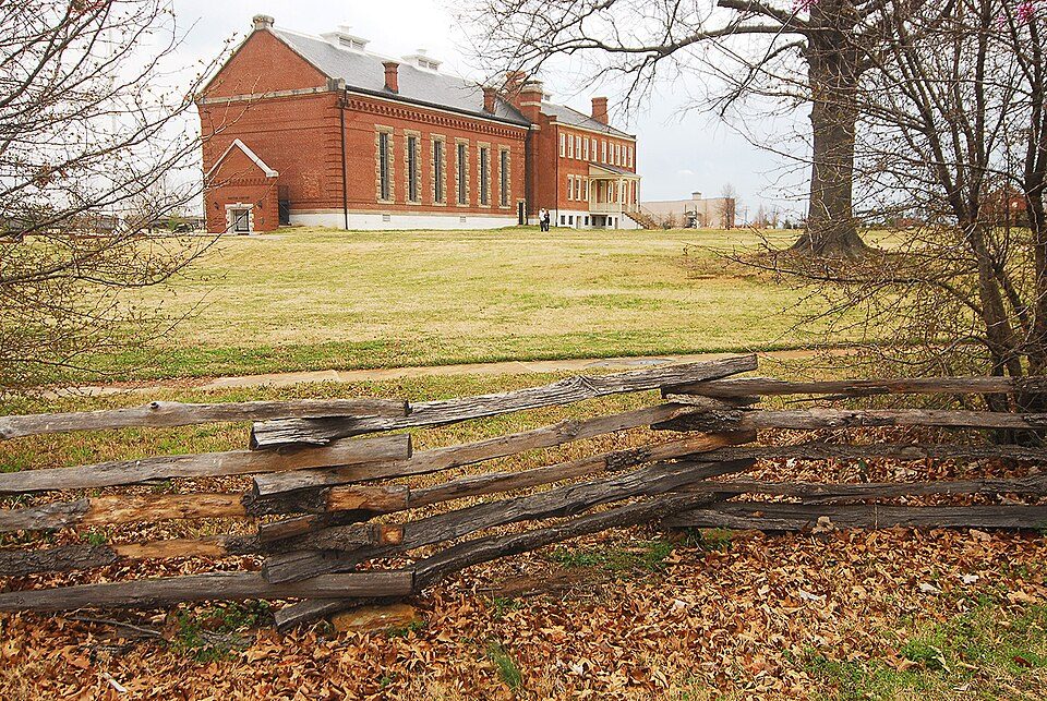 13 mi National Historic SiteFort Smith National Historic Site107K visitors a year
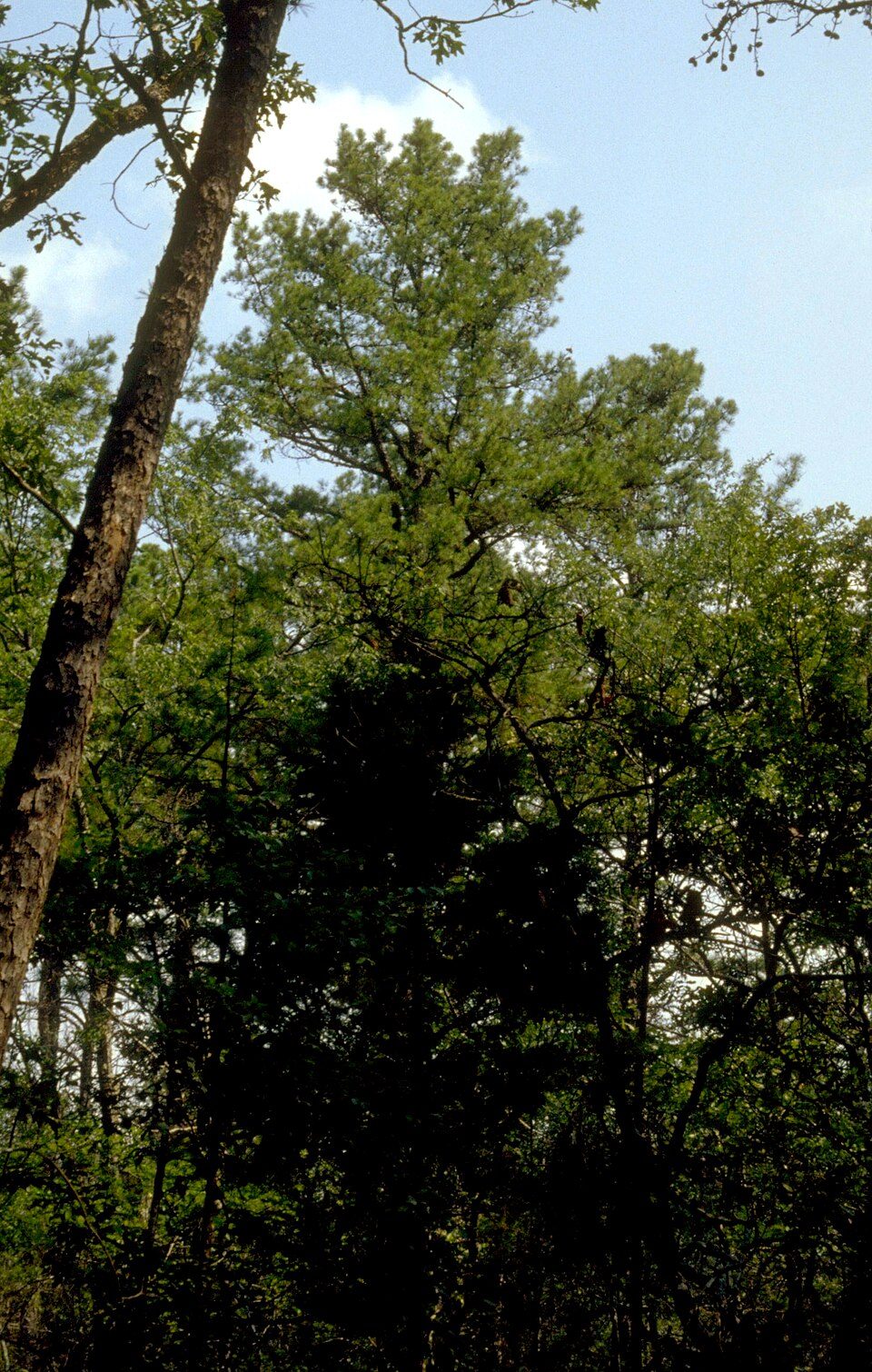 22 mi National forestOzark–St. Francis National Forest
 36 mi Stadium & arenaBud Walton Arena
Spiro Mounds: Herb Roe Original uploader was Heironymous Rowe at en.wikipedia, CC BY-SA 3.0 · Donald W. Reynolds Razorback Stadium: Bobak at en.wikipedia, CC BY-SA 2.5 · Devil's Den State Park: jaystout, CC BY 2.0 · Fort Smith National Historic Site: Photolitherland (talk) Chris Litherland, CC BY-SA 3.0 · Ozark–St. Francis National Forest: Paul A. Mistretta, USDA Forest Service, CC BY 3.0 us · Bud Walton Arena: ~ (The Rebel At) ~, CC BY-SA 3.0
1 within 15 miles of the center of Uniontown
About 0 of every 100 Uniontown residents are enrolled in college, against 5 across Arkansas.
Census-designated place in Arkansas, United States
Uniontown is an unincorporated community and census-designated place (CDP) in Crawford County, Arkansas, United States. It is located on Arkansas Highway 220 near the Oklahoma border, 4.5 miles (7.2 km) west-northwest of Cedarville. Uniontown has a post office with ZIP code 72955. It was first listed as a CDP in the 2020 census with a population of 112.
From Wikipedia, licensed CC BY-SA 4.0 · facts via Wikidata (CC0)
Short answers, built from the data on this page.
Uniontown has fewer than 1,000 residents, too few for fair grades; the figures below are still real.


