
WhitmerWV
A town in West Virginia.
Is Whitmer a good place to live?
No town among the 62 in West Virginia we compare has a lower peak summer temperature than Whitmer. Whitmer’s trail network density is 2.3 miles per square mile, against 0.4 in West Virginia’s towns and 0.4 across U.S. towns. The biggest park or preserve is Monongahela National Forest, at 55 acres. We don’t grade Whitmer yet; the figures below are still real.
Moving to Whitmer: who provides what
Whitmer is unincorporated, so Randolph County and regional agencies provide most services.
EPA SDWIS (Oct 9, 2026) · HIFLD + EIA-861 2025 · Census 2020 ZCTAs · NCES 2024–25 · registration: vote.gov, updated Aug 3, 2026.
The data
Ordered by what stands out in Whitmer.
The biggest natural risk in Whitmer is inland flooding, at a very high overall level
Of the losses FEMA expects in Whitmer, 95% come from inland flooding. Storm and flood damage is expected to run higher than in 92% of U.S. communities.
FEMA National Risk Index · OpenFEMA
19.8% of Whitmer is conserved land
Walkers can cover 0.9 miles of trail in 2 parks and preserves.
| Biggest places to walk | Trails | Acres |
|---|---|---|
| 1. Monongahela National Forest | — | 55 |
| 2. Potomac Wildlife Management Area | — | 55 |
Trails & parks © OpenStreetMap contributors · Conserved land: USGS PAD-US
Expect snowy winters and pleasant summers in Whitmer
July afternoons reach 78°, January nights drop to 18° and about 103 inches of snow falls in a winter. No town among the 62 in West Virginia we compare has a lower January low than Whitmer.
Typical low → high °F
NOAA U.S. Climate Normals, 1991–2020
Whitmer stands out in West Virginia and nationally: a smaller share of its adults binge drink
Just over a tenth of Whitmer adults worry about having enough food. Of the 62 West Virginia towns we compare, none has a higher share of adults who have high blood pressure than Whitmer. CDC measures, 32 in all: Whitmer beats West Virginia on 11 and trails on 7.
| Whitmer | West Virginia towns | U.S. towns | |
|---|---|---|---|
| Diabetes (CDC PLACES) | 20% | 16% | 12% |
| Binge drink (CDC PLACES) | 10% | 14% | 16% |
| High blood pressure (CDC PLACES) | 55% | 44% | 35% |
| Yearly checkup (CDC PLACES) | 85% | 81% | 79% |
| What stands out | Whitmer | WV |
|---|---|---|
| Fewer adults facing housing insecurity | 8% | 12.4% |
| Fewer adults facing a utility shut-off | 7.2% | 11% |
| More adults with heart disease | 13.8% | 8.7% |
CDC PLACES 2025 · modeled estimates for adults · CMS · HRSA
Dolly Sods Wilderness and 10 more within 40 miles
Museums, parks, gardens and other places to visit around Whitmer. Close and well known come first.
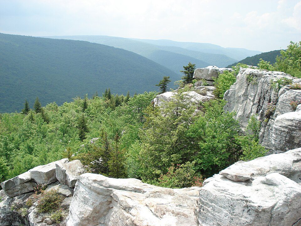 16 mi Park & preserveDolly Sods Wilderness
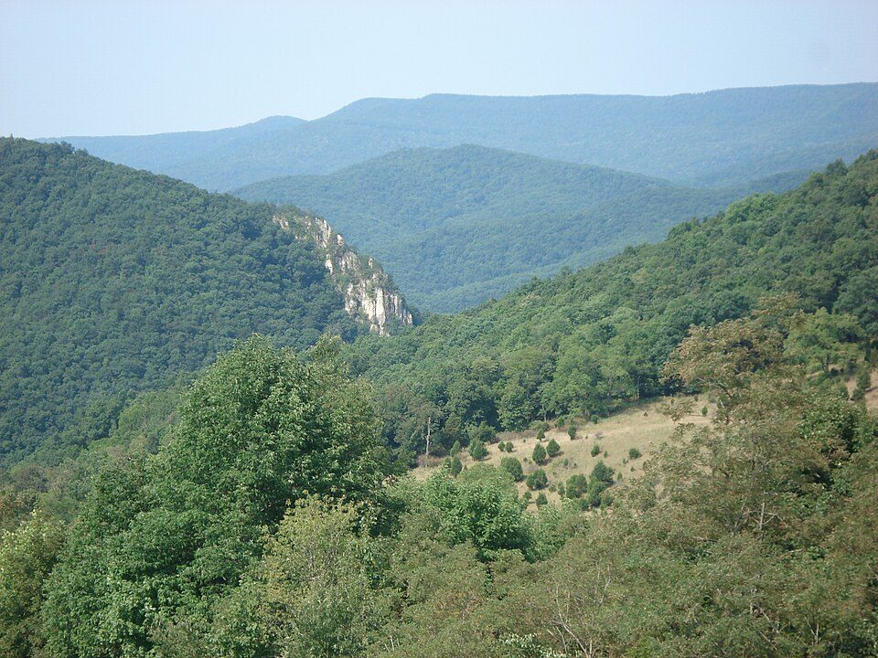 6 mi MountainSpruce Mountain10 mi CaveHellhole
 26 mi National forestMonongahela National Forest
 35 mi Scenic railwayCass Scenic Railroad State Park
 37 mi National forestGeorge Washington and Jefferson National Forests
Photo credits
Dolly Sods Wilderness: Valerius Tygart, CC BY-SA 3.0 · Spruce Mountain: Valerius Tygart, CC BY-SA 3.0 · Monongahela National Forest: Valerius Tygart, CC BY-SA 3.0 · Cass Scenic Railroad State Park: Shayfan at English Wikipedia, Public domain · George Washington and Jefferson National Forests: Aneta Kaluzna, CC BY-SA 2.5


Everything we know about Whitmer
Colleges nearby
None within 15 miles of Whitmer; the nearest are
About Whitmer
Census-designated place in West Virginia, United States
Whitmer is a census-designated place (CDP) in Randolph County, West Virginia, United States. It is 7.5 miles (12.1 km) south-southwest of Harman and is situated on the Dry Fork Cheat River. Whitmer had a post office, which closed on May 21, 2011. As of the 2020 census, its population was 94 (down from 106 at the 2010 census). Whitmer was incorporated in 1903.
From Wikipedia, licensed CC BY-SA 4.0 · facts via Wikidata (CC0)
- Area
- 0.4 sq mi
- Elevation
- 2,762 ft
- ZIP code
- 26296
Questions about Whitmer
Short answers, built from the data on this page.
Is Whitmer, WV a good place to live?
We don’t grade Whitmer yet; the figures below are still real. A town in West Virginia.