
Cass Scenic Railroad State Park
Cass Scenic Railroad State Park is a state park and heritage railroad located in Cass, Pocahontas County, West Virginia. Its story as a place to visit starts in 1961. Look also at Monongahela National Forest, 11 mi away.

A scenic railway inside Cass
Plan where you’ll sleep
The nearest town with many places to stay is Marlinton, 15 miles southwest. Hotels nearby ↓
Winters are cold
January nights drop to 19°, with about 51" of snow a year. When to go ↓
Best months: May, Jun, Jul, Aug and Sep
May, June, July, August and September are the mild months, with highs of 69–79°. When to go ↓
Established in 1961
Cass Scenic Railroad State Park dates from 1961. About ↓
Written from NOAA 1991–2020 normals, Overture places to stay, Census town figures, Wikidata and Wikipedia.
The weather by month
Plan a visit to Cass Scenic Railroad around the weather below.
Cass Scenic Railroad State Park
Cass Scenic Railroad State Park is a state park and heritage railroad located in Cass, Pocahontas County, West Virginia.
It consists of the Cass Scenic Railroad, a 11-mile (18 km) long 4 ft 8+1⁄2 in (1,435 mm) standard gauge heritage railway owned by the West Virginia State Rail Authority and operated by the Durbin and Greenbrier Valley Railroad. The park also includes the former company town of Cass and a portion of the summit of Bald Knob, the highest point on Back Allegheny Mountain.
- Type
- Scenic railway
- Established
- 1961
- Area
- 940 acres
- Elevation
- 4,724 ft
- Listed
- National Register of Historic Places (1974)
- Wikipedia readers
- 17K a year
Sleeping near Cass Scenic Railroad State Park
Inside 4 miles you will find 5 places to stay: 3 hotels and 2 campgrounds. You can stay at Cass Trading Company, 0.1 miles away.
Places to stay within 4 miles
- 1Cass Trading Companyhotel · 0.1 mi southeastDirections
- 2Bear Creek Lodgehotel · 0.1 mi southeastDirections
- 3Whittaker Campgroundcampground · 1.4 mi northwestDirections
- 4EJ's Lodging Camping & Stablingcampground · 2.7 mi southDirections
- 5Chestnut Ridge Country Inn Bed and Breakfast Lodging WVhotel · 3.1 mi southeastDirections
- 6Soaring Eagle Lodgehotel · 4.3 mi westDirections
Places to eat nearby
2 restaurants, cafés and bars within 1½ miles
Compare 8 towns to stay in
| Town | From Cass Scenic Railroad | Drive | Places to stay | People | Typical home |
|---|---|---|---|---|---|
| Cass 100% vacation homes | in town | — | 4 2 hotels · 2 campgrounds | — | — |
| Marlinton | 15 mi southwest | 25 min | 13 3 hotels · 1 motel · 4 inns & B&Bs · 4 lodges & cabins · 1 campground | 945 | $94K |
| Monterey | 18 mi east | 25 min | 5 1 hotel · 3 inns & B&Bs · 1 lodge or cabins | 162 | $170K |
| Green Bank | 5 mi northeast | 5 min | 1 1 inn or B&B | 84 | $184K |
| Durbin | 11 mi northeast | 15 min | 2 1 lodge or cabins · 1 campground | 246 | $99K |
| Huntersville 51% vacation homes | 16 mi south | 25 min | 3 1 inn or B&B · 2 campgrounds | 95 | $121K |
| Hillsboro | 24 mi southwest | 35 min | 6 1 inn or B&B · 3 lodges & cabins · 1 campground · 1 RV park | 218 | — |
| Bartow | 12 mi northeast | 20 min | 1 1 hotel | 47 | — |
Getting there
Nearest airports with airline service
Places to add to Cass Scenic Railroad
These well-known sights sit within 63 miles.
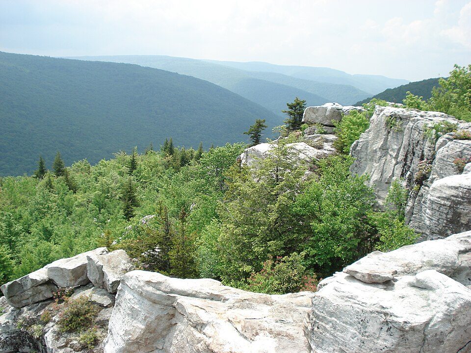 51 mi Park & preserveDolly Sods Wilderness
 11 mi National forestMonongahela National Forest
 47 mi LandmarkProject Greek Island
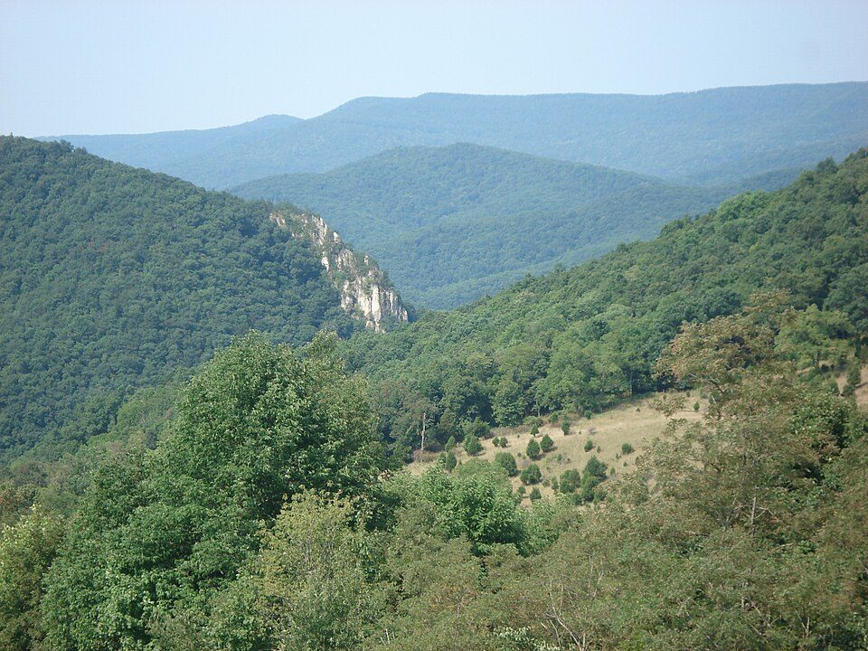 34 mi MountainSpruce Mountain5 mi Ski areaSnowshoe Mountain65 runs · 1,563 ft vertical39 mi CaveHellhole
 50 mi National forestGeorge Washington and Jefferson National Forests
 63 mi Ski areaMassanutten Resort22 runs · 1,064 ft vertical
Photo credits
Dolly Sods Wilderness: Valerius Tygart, CC BY-SA 3.0 · Monongahela National Forest: Valerius Tygart, CC BY-SA 3.0 · Project Greek Island: Z22, CC BY-SA 4.0 · Spruce Mountain: Valerius Tygart, CC BY-SA 3.0 · George Washington and Jefferson National Forests: Aneta Kaluzna, CC BY-SA 2.5 · Massanutten Resort: Arbogastlw at English Wikipedia, Public domain


Cass Scenic Railroad: common questions
Is Cass Scenic Railroad State Park in Cass?
Yes. It’s inside Cass, WV.
When is the best time to visit Cass Scenic Railroad State Park?
May, June, July, August and September, with highs of 69–79°.
What is the closest airport to Cass Scenic Railroad State Park?
Greenbrier Valley (LWB), about 46 miles away. The nearest big hub is Washington Dulles (IAD), about 138 miles.
What hotels are near Cass Scenic Railroad State Park?
Cass Trading Company (0.1 mi), Bear Creek Lodge (0.1 mi) and Whittaker Campground (1.4 mi). 5 places to stay are within 4 miles.
Tips for visiting, from Cass
No one has shared advice yet; Cass’s Town Square takes questions.
Sources: National Park Service · ski areas © OpenSkiMap / OpenStreetMap contributors · Wikidata · Wikipedia readership · NOAA climate normals · U.S. Census.