
Monongahela National Forest
The Monongahela National Forest is a national forest located in the Allegheny Mountains of eastern West Virginia, US. Its location is 4 mi west of Durbin. Management falls to the United States Forest Service.

A national forest, 4 mi west of Durbin
Plan where you’ll sleep
The nearest town with many places to stay is Monterey, 20 miles southeast. Where to stay ↓
Winters are cold
January nights drop to 19°, with about 67" of snow a year. When to go ↓
Best months: May, Jun, Jul, Aug and Sep
May, June, July, August and September are the mild months, with highs of 68–78°. When to go ↓
Written from NOAA 1991–2020 normals, Overture places to stay, Census town figures, Wikidata and Wikipedia.
Weather, month by month
Pick a month for Monongahela National Forest from the weather below.
Monongahela National Forest
The Monongahela National Forest is a national forest located in the Allegheny Mountains of eastern West Virginia, US. It protects over 921,000 acres (3,727 km2; 1,439 sq mi) of federally managed land within a 1,700,000 acres (6,880 km2; 2,656 sq mi) proclamation boundary that includes much of the Potomac Highlands Region and portions of 10 counties.
- Type
- National forest
- Elevation
- 3,907 ft
- Run by
- United States Forest Service
- Listed
- National Natural Landmark
- Wikipedia readers
- 16K a year
A base for Monongahela National Forest
To stay close, try Cass (4) and Elkins (18).
Durbin
The closest town with somewhere to stay.
246 people
4 mi east of Monongahela National Forest
Compare 8 towns
| Town | From Monongahela National Forest | Drive | Places to stay | People | Typical home |
|---|---|---|---|---|---|
| Durbin | 4 mi east | 5 min | 2 1 lodge or cabins · 1 campground | 246 | $99K |
| Cass 100% vacation homes | 11 mi south | 15 min | 4 2 hotels · 2 campgrounds | — | — |
| Elkins | 26 mi north | 40 min | 18 11 hotels · 1 motel · 2 inns & B&Bs · 1 lodge or cabins · 1 hostel · 2 campgrounds | 6,622 | $153K |
| Marlinton | 25 mi southwest | 40 min | 13 3 hotels · 1 motel · 4 inns & B&Bs · 4 lodges & cabins · 1 campground | 945 | $94K |
| Bartow | 6 mi east | 10 min | 1 1 hotel | 47 | — |
| Monterey | 20 mi southeast | 30 min | 5 1 hotel · 3 inns & B&Bs · 1 lodge or cabins | 162 | $170K |
| Bowden | 26 mi north | 40 min | 11 1 hotel · 5 lodges & cabins · 4 campgrounds · 1 RV park | — | — |
| Green Bank | 9 mi south | 15 min | 1 1 inn or B&B | 84 | $184K |
Getting there
Nearest airports with airline service
Close to Monongahela National Forest
Each of these is within 63 miles.
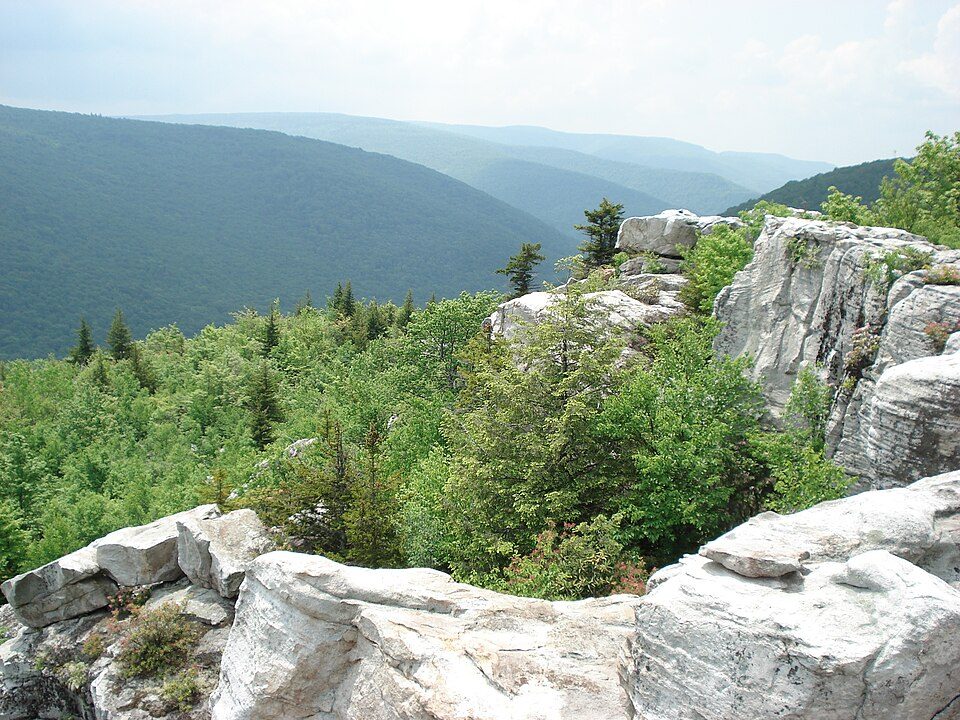 42 mi Park & preserveDolly Sods Wilderness
 111 mi Scenic railwayCass Scenic Railroad State Park
 58 mi LandmarkProject Greek Island
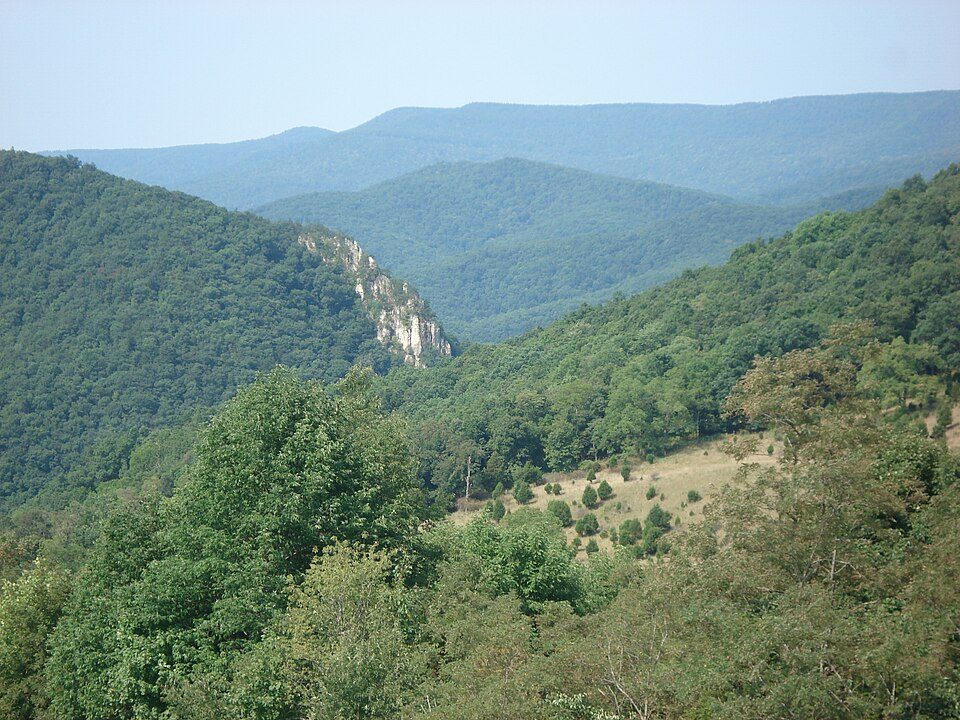 226 mi MountainSpruce Mountain32 mi CaveHellhole311 mi Ski areaSnowshoe Mountain65 runs · 1,563 ft vertical
 48 mi National forestGeorge Washington and Jefferson National Forests
 62 mi Ski areaMassanutten Resort22 runs · 1,064 ft vertical
Photo credits
Dolly Sods Wilderness: Valerius Tygart, CC BY-SA 3.0 · Cass Scenic Railroad State Park: Shayfan at English Wikipedia, Public domain · Project Greek Island: Z22, CC BY-SA 4.0 · Spruce Mountain: Valerius Tygart, CC BY-SA 3.0 · George Washington and Jefferson National Forests: Aneta Kaluzna, CC BY-SA 2.5 · Massanutten Resort: Arbogastlw at English Wikipedia, Public domain


What people ask about Monongahela National Forest
What town is Monongahela National Forest near?
Durbin, WV, about 4 miles east.
When is the best time to visit Monongahela National Forest?
May, June, July, August and September, with highs of 68–78°.
What is the closest airport to Monongahela National Forest?
North Central West Virginia (CKB), about 54 miles away. The nearest big hub is Washington Dulles (IAD), about 134 miles.
Where should I stay near Monongahela National Forest?
Cass (11 mi, 4 places to stay), Elkins (26 mi, 18 places to stay) and Marlinton (25 mi, 13 places to stay).
Ask a local in Durbin
People in Durbin have not posted tips yet; their Town Square is open.
Sources: National Park Service · ski areas © OpenSkiMap / OpenStreetMap contributors · Wikidata · Wikipedia readership · NOAA climate normals · U.S. Census.