
Camden Park, 19 mi from Fort Gay
Nothing on our list is inside Fort Gay; the 8 places to visit are within 40 miles. They include 7 museums and a theme park. Further afield, Red River Gorge is 59 mi from the centre.
Red River Gorge
Canyon system in Kentucky, National Natural Landmark.
The towns around it, and where to stay →
What’s around Fort Gay
Magoffin County Pioneer Village and Museum, 37 mi away, is the farthest on the map.
Orange: Fort Gay. Numbers: the best-known places, matching the list below. © OpenStreetMap contributors
Each place in turn
14 places make the list, every one within 60 miles.
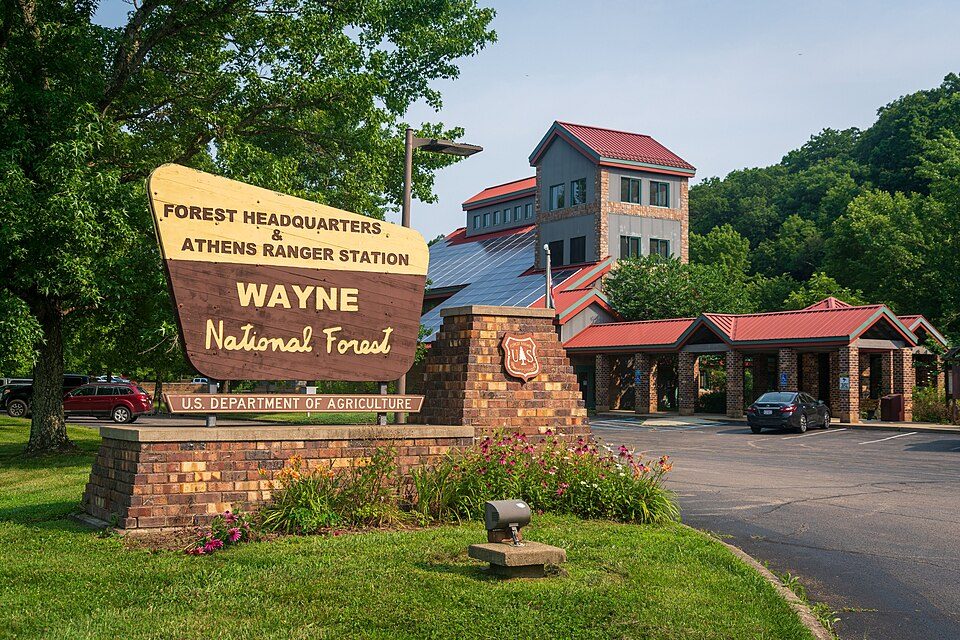 2
 3
 4
 5
Criel Mound
Native American burial mound located in South Charleston, West Virginia, United States.
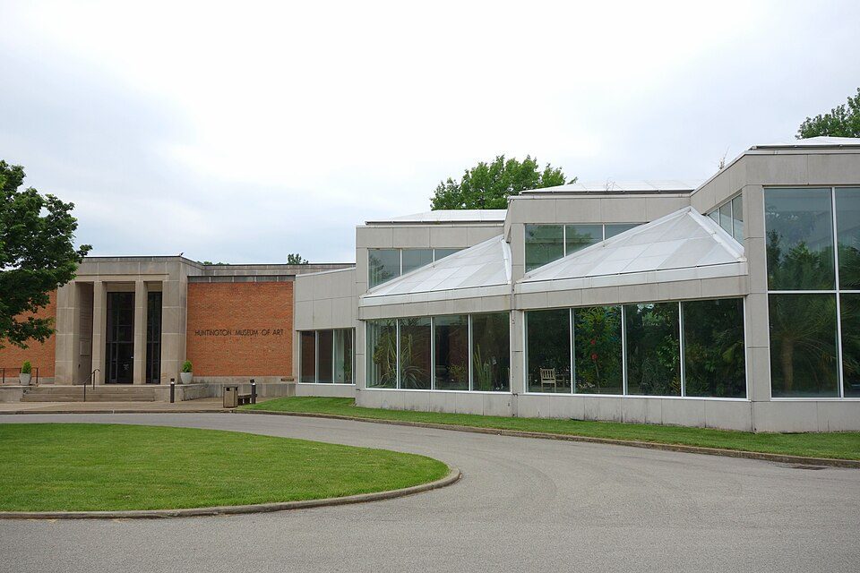 6
Huntington Museum of Art
Non-profit organization in Huntington, West Virginia, USA.
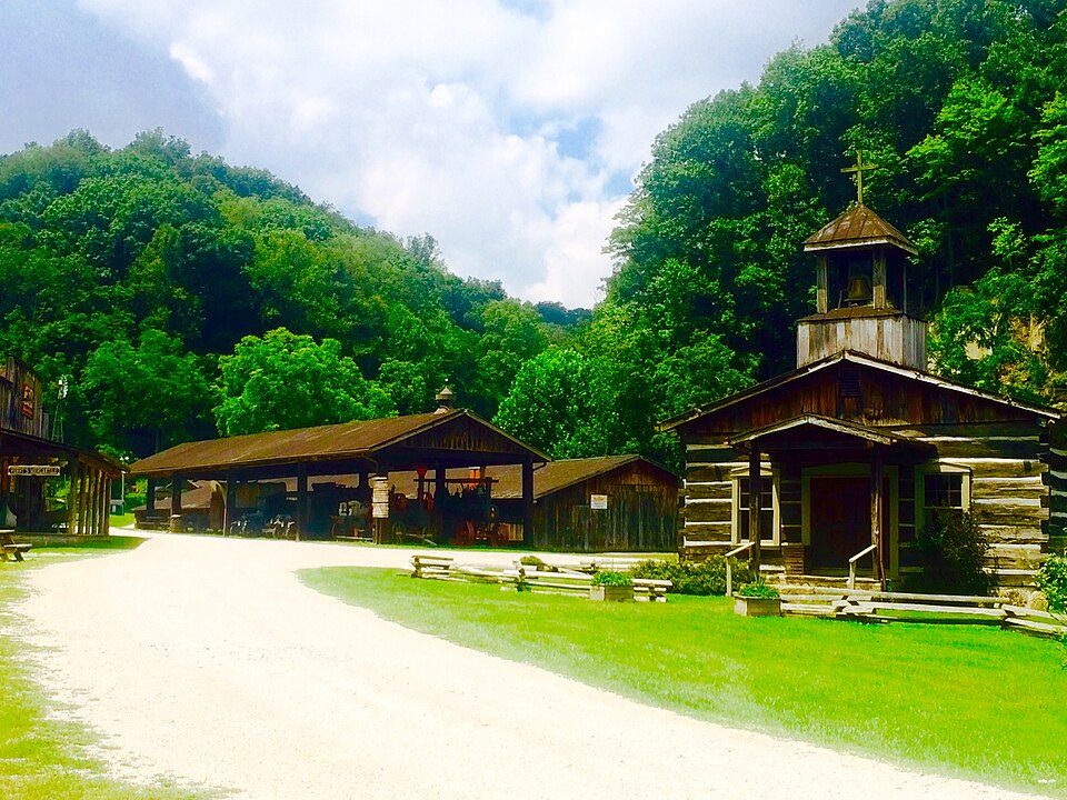 8
 9
U.S. 23 Country Music Highway Museum
Local museum in Paintsville, Kentucky.
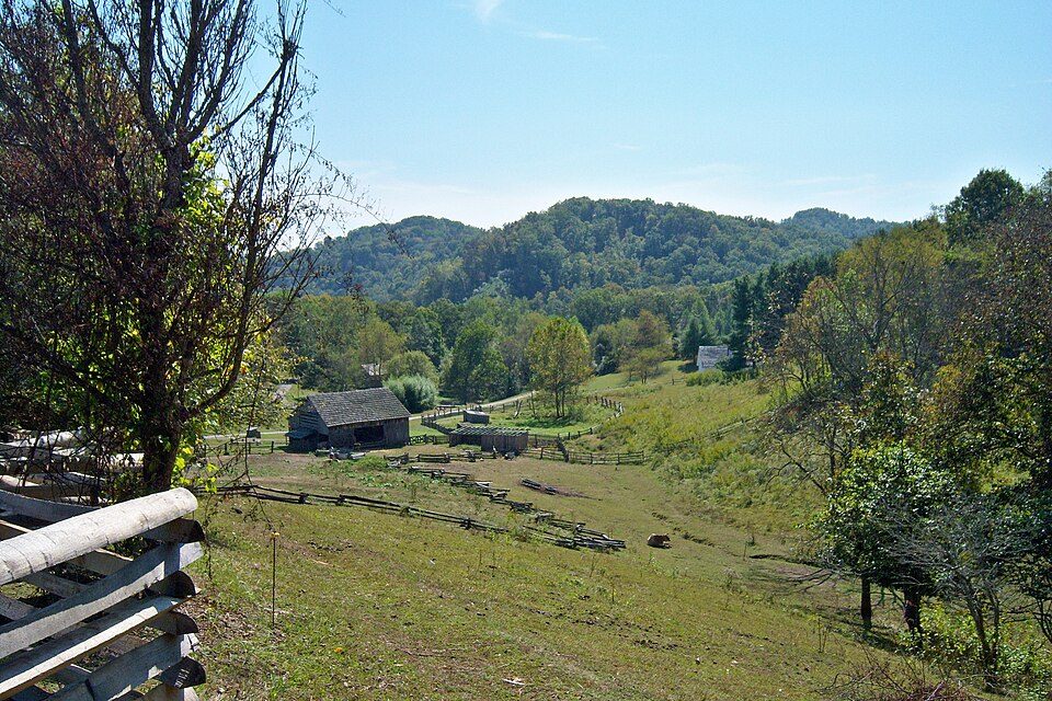 10
East Kentucky Science Center
Science center, planetarium in Prestonsburg, Kentucky.
 12
 13
Magoffin County Pioneer Village and Museum
Open-air museum in Salyersville, Kentucky.
Ranked by how many people look them up, so the famous places lead and the local favorites follow.
Parks and trails in Fort Gay → · Fort Gay’s history →
Photo credits
Red River Gorge: Robert G. Davis, NWSRS, Public domain · Wayne National Forest: Forest Service, USDA, Public domain · Camden Park: Carol M. Highsmith, Public domain · Breaks Interstate Park: SheepNotGoats (Talk), CC BY-SA 3.0 · Criel Mound: David G. Simpson, Public domain · Huntington Museum of Art: Daderot, CC0 · Heritage Farm Museum and Village: Zeo1989, CC BY-SA 4.0 · U.S. 23 Country Music Highway Museum: J654567, CC BY-SA 3.0 · Mountain Homeplace: J654567, CC BY-SA 3.0 · Kentucky Folk Art Center: The original uploader was Seth Ilys at English Wikipedia., CC BY-SA 3.0 · Magoffin County Pioneer Village and Museum: FloNight (Sydney Poore) and Russell Poore, CC BY-SA 3.0


