
Breaks Interstate Park
Breaks Interstate Park, also known as "the Breaks," is a bi-state state park located partly in southeastern Kentucky and southwestern Virginia in the Jefferson National Forest, at the northeastern terminus of Pine Mountain.

A state park, 1 mi west of Breaks
Grundy is the nearest base
Grundy is 11 miles east, with 6 places to stay. Where to stay ↓
Best months: Apr, May, Jun, Aug, Sep and Oct
April, May, June, August, September and October are the mild months, with highs of 69–84°. When to go ↓
Established in 1954
Breaks Interstate Park dates from 1954. About ↓
Written from NOAA 1991–2020 normals, Overture places to stay, Census town figures, Wikidata and Wikipedia.
Weather, month by month
Typical highs and lows in Breaks. Green months are the mild ones.
Breaks Interstate Park
Breaks Interstate Park, also known as "the Breaks," is a bi-state state park located partly in southeastern Kentucky and southwestern Virginia in the Jefferson National Forest, at the northeastern terminus of Pine Mountain. The land is managed by an interstate compact between the states of Virginia and Kentucky. It is one of two interstate parks in the United States operated jointly under a compact rather than as two separate state park units. The Virginia Department of Conservation and Recreation and the Kentucky Department of Parks are still major partner organizations.
- Type
- State park
- Established
- 1954
- Wikipedia readers
- 8.4K a year
Where to stay near Breaks Interstate Park
The closest towns with hotels, motels or campgrounds are Grundy (6) and Haysi (3).
Grundy
The closest town with somewhere to stay.
815 people
11 mi east of Breaks Interstate Park
Compare 8 towns
| Town | From Breaks Interstate Park | Drive | Places to stay | People | Typical home | Safety |
|---|---|---|---|---|---|---|
| Grundy | 11 mi east | 15 min | 6 2 hotels · 2 inns & B&Bs · 2 lodges & cabins | 815 | $204K | — |
| Haysi | 6 mi south | 10 min | 3 1 lodge or cabins · 2 campgrounds | 472 | $116K | — |
| Pikeville | 18 mi northwest | 25 min | 9 5 hotels · 2 inns & B&Bs · 2 lodges & cabins | 7,270 | $264K | B− |
| Breaks | 1 mi east | — | 1 1 motel | 208 | $46K | — |
| Clintwood | 13 mi southwest | 20 min | 3 1 hotel · 1 lodge or cabins · 1 campground | 1,297 | $163K | — |
| Elkhorn City | 4 mi northwest | 5 min | 1 1 lodge or cabins | 963 | $117K | — |
| Matewan | 24 mi north | 35 min | 8 1 hotel · 1 inn or B&B · 4 lodges & cabins · 2 campgrounds | 370 | $112K | — |
| Red Jacket | 26 mi north | 40 min | 7 2 hotels · 3 lodges & cabins · 2 campgrounds | 482 | $208K | — |
Getting there
Nearest airports with airline service
Also near Breaks Interstate Park
Other well-known places within 64 miles.
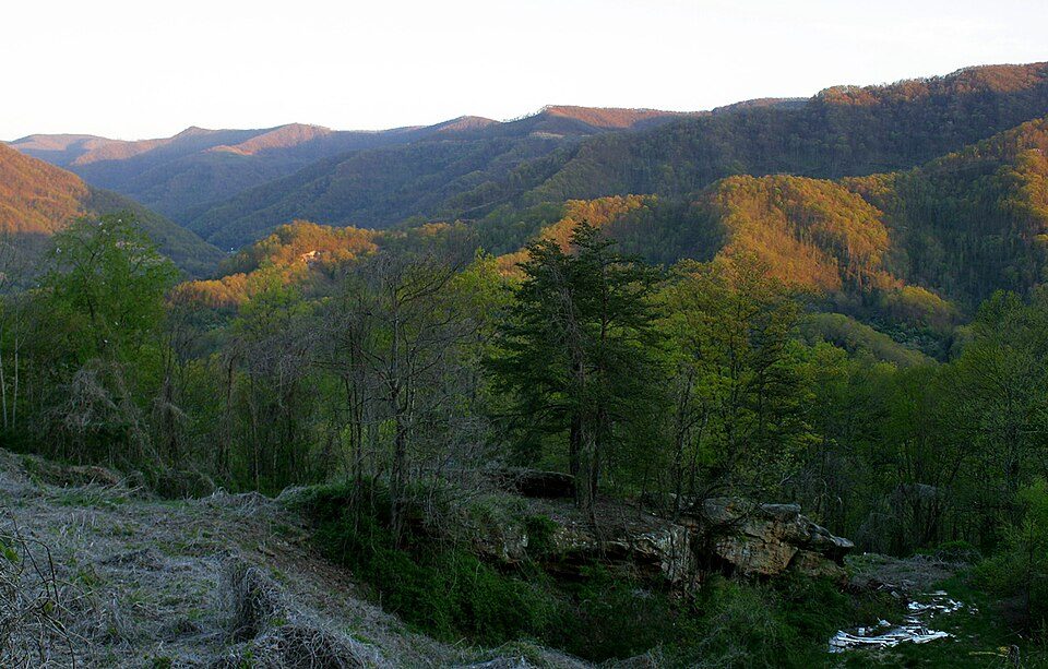 42 mi MountainBlack Mountain
 57 mi Ancient siteUnited States Penitentiary
 60 mi MountainMount Rogers
 63 mi State parkGrayson Highlands State Park
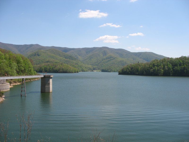 57 mi National forestCherokee National Forest64 mi Park & preserveGray Fossil Site
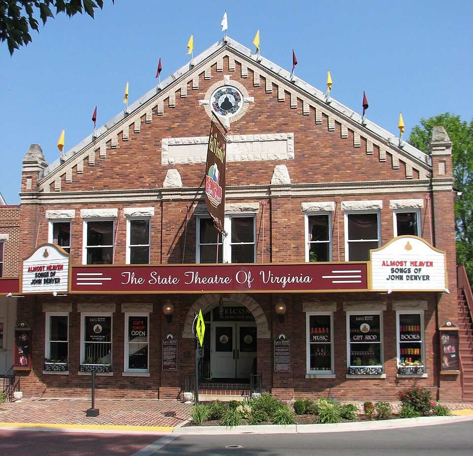 44 mi TheatreBarter Theatre
 47 mi MuseumU.S. 23 Country Music Highway Museum
Photo credits
Black Mountain: iLoveMountains.org, CC BY 2.0 · United States Penitentiary: Nyttend, Public domain · Mount Rogers: USDA-FS, Public domain · Grayson Highlands State Park: Ken Thomas, Public domain · Cherokee National Forest: Ryan Rice at en.wikipedia, CC BY-SA 3.0 · Barter Theatre: RebelAt (talk) (Uploads), Public domain · U.S. 23 Country Music Highway Museum: J654567, CC BY-SA 3.0


Visiting Breaks Interstate Park
What town is Breaks Interstate Park near?
Breaks, VA, about 1 miles east.
When is the best time to visit Breaks Interstate Park?
April, May, June, August, September and October, with highs of 69–84°.
What is the closest airport to Breaks Interstate Park?
Tri-Cities Regional TN/VA (TRI), about 57 miles away. The nearest big hub is McGhee Tyson (TYS), about 139 miles.
Where should I stay near Breaks Interstate Park?
Grundy (11 mi, 6 places to stay), Haysi (6 mi, 3 places to stay) and Pikeville (18 mi, 9 places to stay).
Tips from people in Breaks
No tips yet. Ask, or answer, in Breaks’s Town Square.
Sources: National Park Service · ski areas © OpenSkiMap / OpenStreetMap contributors · Wikidata · Wikipedia readership · NOAA climate normals · U.S. Census.