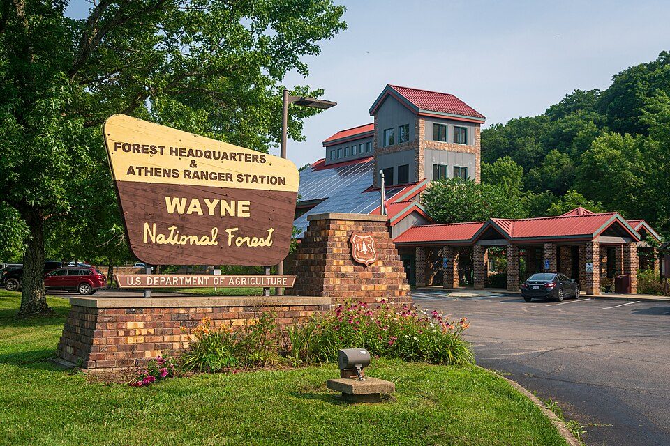
Wayne National Forest
The Wayne National Forest is located in the Appalachian part of the US state of Ohio, in the Unglaciated Allegheny Plateau. You can find it in Symmes Township. Its operator is the United States Forest Service.

A national forest inside Symmes Township
Upper Township is the nearest base
Upper Township is 13 miles southwest, with 5 places to stay. Where to stay ↓
A day trip from Columbus
Columbus is about 92 miles north (straight-line). Where to stay ↓
Best months: Apr, May, Jun, Sep and Oct
April, May, June, September and October are the mild months, with highs of 67–83°. When to go ↓
Established in 1992
Wayne National Forest dates from 1992 and is run by United States Forest Service. About ↓
Written from NOAA 1991–2020 normals, Overture places to stay, Census town figures, Wikidata and Wikipedia.
Weather, month by month
This is the year’s weather near Wayne National Forest.
Wayne National Forest
The Wayne National Forest is located in the Appalachian part of the US state of Ohio, in the Unglaciated Allegheny Plateau. It is the first and only national forest in Ohio. Forest headquarters are located between The Plains and Nelsonville, Ohio, on US Route 33 overlooking the Hocking River.
The North Country Trail passes through several areas of Wayne, in which it is coincident with the Buckeye Trail and the American Discovery Trail. The area of Ohio included within the national forest is based on late Paleozoic geology, heavy in sandstones and shales, including redbeds, with many coal beds. The topography is typically very rugged, with elevation changes typically in the 200–400-foot range.
- Type
- National forest
- Established
- 1992
- Area
- 1,303 square miles
- Elevation
- 791 ft
- Run by
- United States Forest Service
- Wikipedia readers
- 12K a year
Where to stay near Wayne National Forest
For a bed close by, look to Upper Township (5) and Ashland (9).
- 1Camden Park
- 2McClintic Wildlife Management Area
- 3Huntington Museum of Art
- 4Heritage Farm Museum and Village
Compare 8 towns
| Town | From Wayne National Forest | Drive | Places to stay | People | Typical home | Safety |
|---|---|---|---|---|---|---|
| Symmes Township | in town | — | — | 399 | $90K | — |
| Upper Township | 13 mi southwest | 20 min | 5 2 hotels · 1 motel · 2 lodges & cabins | 13,816 | $113K | — |
| Ashland | 18 mi southwest | 25 min | 9 6 hotels · 2 motels · 1 lodge or cabins | 20,996 | $125K | C− |
| Ironton | 15 mi southwest | 20 min | 5 2 hotels · 1 motel · 2 lodges & cabins | 10,148 | $107K | B |
| Huntington | 20 mi south | 30 min | 9 6 hotels · 2 inns & B&Bs · 1 lodge or cabins | 44,815 | $127K | D |
| Perry Township | 15 mi south | 20 min | 4 1 hotel · 2 motels · 1 campground | 6,243 | $145K | — |
| Green Township | 15 mi northeast | 20 min | 3 2 hotels · 1 lodge or cabins | 5,337 | $152K | — |
| Walnut Township | 6 mi east | 10 min | 1 1 hotel | 983 | $157K | — |
Getting there
Nearest airports with airline service
Combine it with these
All of these are within 55 miles.
 54 mi MountainSerpent Mound
 121 mi Theme parkCamden Park
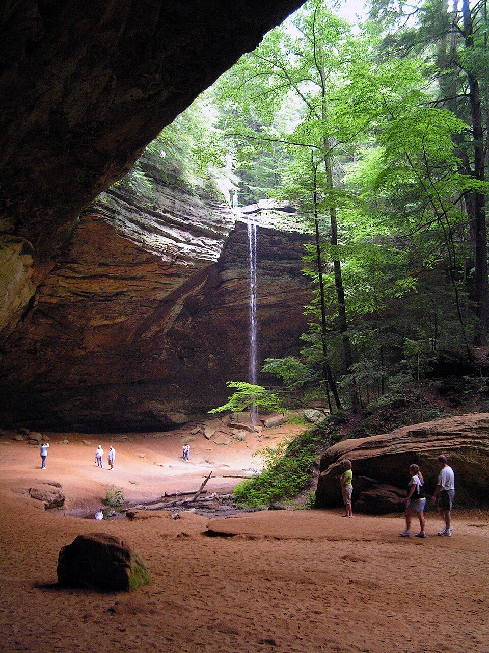 51 mi State parkHocking Hills State Park
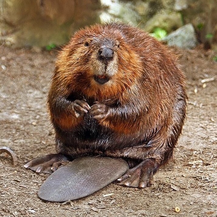 228 mi Park & preserveMcClintic Wildlife Management Area
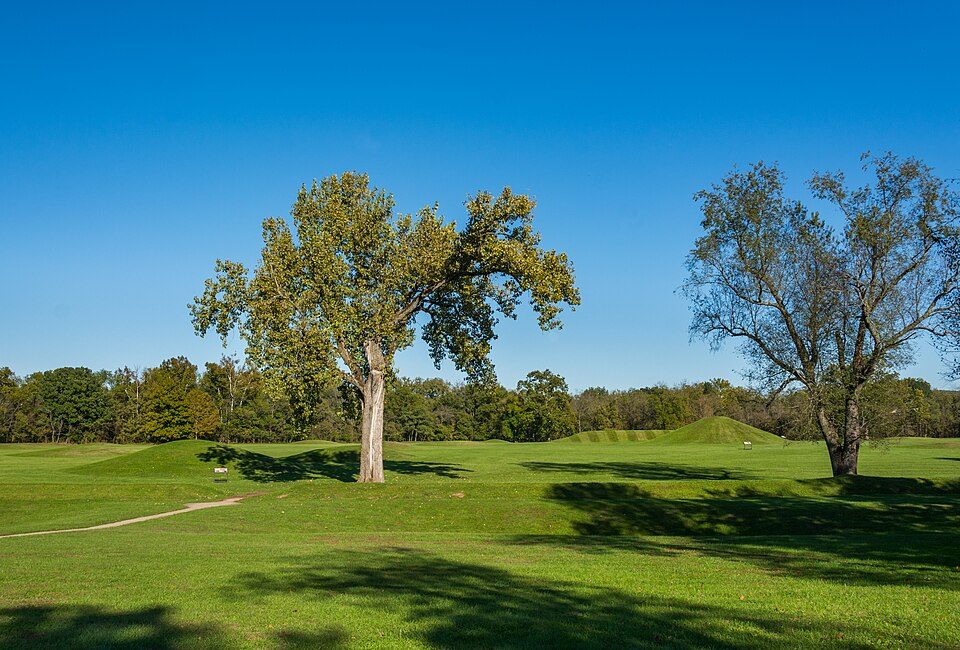 54 mi National Historical ParkHopewell Culture National Historical Park52K visitors a year
 50 mi Ancient siteCriel Mound
 322 mi MuseumHuntington Museum of Art
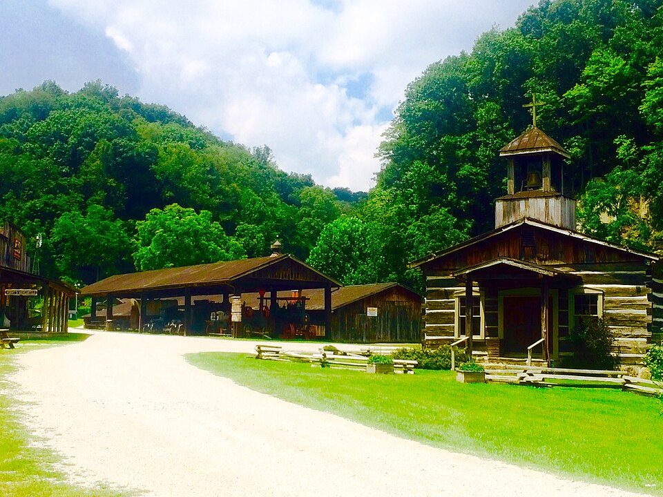 422 mi MuseumHeritage Farm Museum and Village
Photo credits
Serpent Mound: The British Library, No restrictions · Camden Park: Carol M. Highsmith, Public domain · Hocking Hills State Park: Ramseybuckeye, Public domain · McClintic Wildlife Management Area: Steve from Washington, DC, USA, CC BY-SA 2.0 · Hopewell Culture National Historical Park: Ɱ, CC BY-SA 4.0 · Criel Mound: David G. Simpson, Public domain · Huntington Museum of Art: Daderot, CC0 · Heritage Farm Museum and Village: Zeo1989, CC BY-SA 4.0


Wayne National Forest in questions
Is Wayne National Forest in Symmes Township?
Yes. It’s inside Symmes Township, OH.
When is the best time to visit Wayne National Forest?
April, May, June, September and October, with highs of 67–83°.
How far is Wayne National Forest from Columbus?
About 92 miles north of Columbus, as the crow flies.
What is the closest airport to Wayne National Forest?
Tri-State Airport / Milton J. Ferguson Field (HTS), about 23 miles away. The nearest big hub is John Glenn Columbus (CMH), about 92 miles.
Where should I stay near Wayne National Forest?
Upper Township (13 mi, 5 places to stay), Ashland (18 mi, 9 places to stay) and Ironton (15 mi, 5 places to stay).
Symmes Township has the answers
Nobody has posted a tip yet; ask or answer in Symmes Township’s Town Square.
Sources: National Park Service · ski areas © OpenSkiMap / OpenStreetMap contributors · Wikidata · Wikipedia readership · NOAA climate normals · U.S. Census.