More historic than 97% of U.S. towns · #16 of 71 in Vermont. What drives it
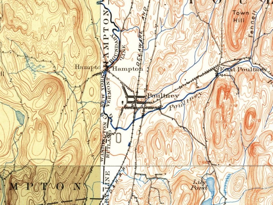
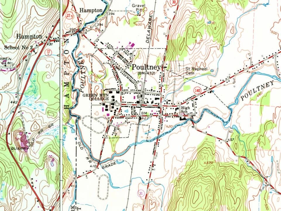
5 places in town are on the National Register, among them three historic districts with 151 buildings between them. Below: maps from 1885 on and the census since 1790.
On its age, its old homes and the National Register, Poultney is more historic than 97% of U.S. towns, #16 of 71 in Vermont. All 2 inputs are above most U.S. towns; its National Register listings ranks highest and its share of homes from before 1940 lowest.
A+
HistoryA character grade: shown, never part of Poultney’s overall grade.
Vermont towns list more on the Register than most of the country (a typical Vermont town has 147 per 10,000 residents, the U.S. 2.4), so Poultney’s 505 sits above most of its state (85% of Vermont towns have fewer) while its 152 historic buildings outnumber those of 92% of U.S. towns.
How sure. Graded on two of the three inputs, so a change in either one moves the letter more than it would with three. The pre-1940 share is a Census survey estimate (±6.0 points).
Founding year: our sources. Homes: Census ACS 2020–24. National Register: National Park Service, May 2026 list; each listing counted once (boundary changes and added documentation belong to their listing), and a historic district counts its contributing buildings. How TownRatings grades history →
What stands out about Poultney’s past
Read from the archive, the National Register and the record. The page puts what stands out first.
One of the New Hampshire Grants, Poultney was charted on September 21, 1761, by Benning Wentworth, Royal Governor of New Hampshire, and named for William Pulteney, 1st Earl of Bath, a British politician and orator.
Passages that mention Poultney, cut from the printed page as they were published.
History of Rutland County, Vermont, with illustrations and biographical sketches of some of its prominent men and pioneers1886 · page 778Read the page →
Read the text
No record exists containing the names of all those from Poultney who took part in the War of 181 2, but it is reasonably certain that the toVvn furnished her proportion. William Miller, afterwards prominent as a Baptist clergyman, and later more prominent as an Advent preacher, then a resident of Poultney, received a captain's commission from Governor Jonas Galusha, and was ordered to Burlington with his company, which he raised in Poultney. The following, among others, left Poultney to serve in this war: Thomas Shepard, Horace Thompson, Russell Pitkin, Charles Obraham, John Brown, Stephen
Text read by machine from the scan; it may contain errors.
History of Rutland County, Vermont, with illustrations and biographical sketches of some of its prominent men and pioneers1886 · page 593Read the page →
Read the text
It is probable that Benoni Hurlburt, Joseph Carver, Jonathan Hall and John Van Dozer settled before the town was chartered, on the fall of Poultney River, now known as Carver's Falls. There were undoubtedly other settlements made along certain portions of Poultney River at this period, though the more prominent characters in the organization of the township came about the beginning of the year 1780 or soon after.
Text read by machine from the scan; it may contain errors.
Scans and text from the Internet Archive. Books published in 1930 or earlier, which are in the public domain.
Timeline
Poultney, 1785 to 1923
Woven from the archive, old maps, post office records, the National Register and the people born here.
Fire insurance maps drew every building, what it was made of and what it was used for, so insurers could price the risk of fire. Pick a year, then a sheet.
Poultney is more historic than 97% of U.S. towns, #16 of 71 in Vermont. The History grade combines the town’s founding era, the share of homes built before 1940 and its National Register listings. It’s a character grade, so it isn’t part of the overall grade. How it works.
What is on the National Register in Poultney?
5 listings: 1 building, among them the Poultney Central School (listed 1977, the first), 3 historic districts, the East Poultney Historic District, the Poultney Main Street Historic District and the Hosford-Sherman Farm, with 151 contributing buildings, and 1 structure. 152 historic buildings in all.
How old are the homes in Poultney?
30% of Poultney’s homes were built before 1940 (Census estimate, ±6.0 points), against a typical 22% for a Vermont town; the median home was built in 1968.
Founding dates: Wikidata, Wikipedia, the U.S. post office records of Blevins & Helbock (CC0) and the Census. Homes by year built: Census ACS 2020–24. National Register of Historic Places: National Park Service (list of May 22, 2026). Old photos, postcards and papers: Wikimedia Commons, the Library of Congress and other public archives, credited on each item’s page. Maps: U.S. Geological Survey historical topographic maps (via Esri) and Sanborn fire-insurance maps (Library of Congress). History text and census tables: Wikipedia (CC BY-SA 4.0). Places that used to be: USGS Geographic Names Information System (2021).
From Wikidata (4), the National Register of Historic Places (5), Wikipedia, U.S. Geological Survey historical maps, U.S. Census counts (via Wikipedia), the US Post Offices dataset (Blevins & Helbock), the USGS Geographic Names Information System, Sanborn fire insurance maps (Library of Congress) and old county and town histories (Internet Archive). Archive images are copied here with their credits and licenses, shown on each photo’s page. Refreshed monthly.