

The story
Read it all →How Ira came to be
From Wikipedia’s history of Ira.
Following the Revolutionary War, veteran and historian Lemuel Roberts served as Captain of the Ira militia.
Text from Wikipedia, licensed CC BY-SA 4.0.
Each edition grades its towns against each other only.
Below: maps from 1895 on and the census since 1790.
The Ira post office opened in 1808, the earliest record of the town by name.
Ira was named for Ira Allen, brother of Ethan Allen, who fought with the Green Mountain Boys of the Revolutionary War.
Read from the archive, the National Register and the record. The page puts what stands out first.
The first neighbors to add old photos shape how Ira’s history is told.
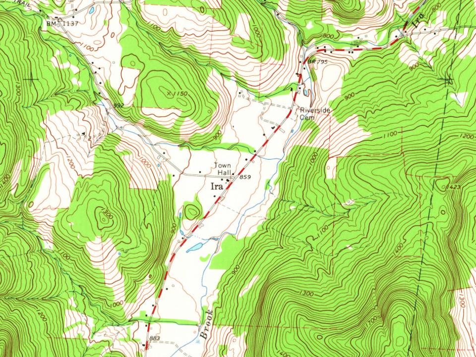
Every edition of the U.S. Geological Survey’s map of Ira. Tap a year, or press play to watch the town change.
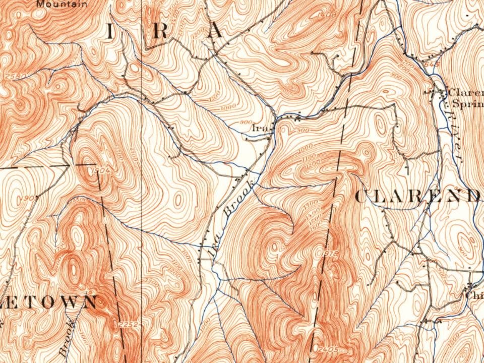
U.S. Geological Survey historical topographic maps (public domain), via Esri’s collection of the scans. The red ring marks the center of Ira.
Peaked at 519 in 1810; 368 people lived here in 2020.
24 censuses, 1790–2020.
U.S. Census Bureau decennial counts, from the census table on Ira’s Wikipedia page.
From Wikipedia’s history of Ira.
Following the Revolutionary War, veteran and historian Lemuel Roberts served as Captain of the Ira militia.
Text from Wikipedia, licensed CC BY-SA 4.0.
Passages that mention Ira, cut from the printed page as they were published.

place in 1779, looked this region over and finally concluded to settle in what is now the north-east part of the town — it was then in Ira, and they were induced to go there by representations of Isaac Clark, who had located there and had been made town clerk of Ira. Clark represented to them that the village of Ira would be there. The place where
Text read by machine from the scan; it may contain errors.
The inhabitants living on the west side of the hill, adjacent to the town of Ira, believing it for their interests, because they could with less travel get to the business centre of Ira than to that of Clarendon, petitioned the legislature, and, in 1854, were set off to and made a part of that town : so, through the cupidity of some, and for the
Text read by machine from the scan; it may contain errors.
From the time when it had the honor of bearing a name at all, up to the thirty-first day of May, 1779, Ira was called the District of Ira. On that day, at the residence of George Sher¬ man, wherever that may have been at the time, was held the first town meeting of Ira. At that meeting 52 citizens took the freeman’s oath. George Sherman was chosen Moderator; Isaac Clark, Town Clerk; and Nathaniel Mallory, Constable. Nathan Lee, Amos Herick and Isaac Clark were chosen selectmen, and
Text read by machine from the scan; it may contain errors.
mental in serving legal papers, in both civil and criminal suits, over a longer term of years than Enos C. Fish, late of West Rutland, and late Sheriff of Rutland County. He was elected to the office of First Constable in the town of Ira in 1862, and was continuously on that branch of service for sixty years, as Constable, Deputy Sheriff, and High Sheriff. He was first Sheriff E. C. F'isii Late of West Rutland, Vt., died 1922
Text read by machine from the scan; it may contain errors.Scans and text from the Internet Archive. Books published in 1930 or earlier, which are in the public domain.
Woven from the archive, old maps, post office records, the National Register and the people born here.
Ira had its own post office from 1808 to 1900.
US Post Offices dataset (Blevins & Helbock, CC0). Places and cemeteries from the USGS Geographic Names Information System (2021).
Each neighbor’s History grade, on the same three inputs.
The Ira post office opened in 1808, the earliest record of the town by name (U.S. post office records).
What the archives can’t tell you, neighbors can.
Founding dates: Wikidata, Wikipedia, the U.S. post office records of Blevins & Helbock (CC0) and the Census. Homes by year built: Census ACS 2020–24. National Register of Historic Places: National Park Service (list of May 22, 2026). Old photos, postcards and papers: Wikimedia Commons, the Library of Congress and other public archives, credited on each item’s page. Maps: U.S. Geological Survey historical topographic maps (via Esri) and Sanborn fire-insurance maps (Library of Congress). History text and census tables: Wikipedia (CC BY-SA 4.0). Places that used to be: USGS Geographic Names Information System (2021). How TownRatings grades history →
From Wikimedia Commons (4), Wikipedia, Wikidata and Wikipedia for famous people, U.S. Geological Survey historical maps, U.S. Census counts (via Wikipedia), the US Post Offices dataset (Blevins & Helbock), the USGS Geographic Names Information System and old county and town histories (Internet Archive). Archive images are copied here with their credits and licenses, shown on each photo’s page. Refreshed monthly.

 2011
 2010
 2004
 2004