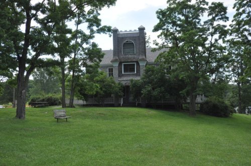
Ferrisburgh dates to 1762, and 35% of its homes were built before 1940
More historic than 96% of U.S. towns · #17 of 71 in Vermont. What drives it
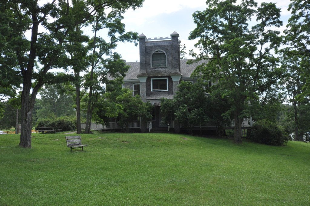
6 places in town are on the National Register, among them the Rokeby, a National Historic Landmark, and two historic districts with 17 buildings between them. Below: maps from 1986 on and the census since 1790.
Founding year: Wikidata; Wikipedia’s history section gives the same year. First post office: 1798.The full story ↓
History grade
What drives Ferrisburgh’s History grade
On its age, its old homes and the National Register, Ferrisburgh is more historic than 96% of U.S. towns, #17 of 71 in Vermont. All 3 inputs are above most U.S. towns; its age ranks highest and its National Register listings lowest.
A+
HistoryA character grade: shown, never part of Ferrisburgh’s overall grade.
Vermont towns list more on the Register than most of the country (a typical Vermont town has 147 per 10,000 residents, the U.S. 2.4), so Ferrisburgh’s 109 sits near the middle of its state (60% of Vermont towns have fewer) while its 29 historic buildings outnumber those of 81% of U.S. towns.
How sure. Graded on any two of the three inputs instead, the letter would range from A to A+. The pre-1940 share is a Census survey estimate (±5.9 points). Two sources give 1762.
Founding year: Wikidata (other dates in Quick answers). Homes: Census ACS 2020–24. National Register: National Park Service, May 2026 list; each listing counted once (boundary changes and added documentation belong to their listing), and a historic district counts its contributing buildings. How TownRatings grades history →
What stands out about Ferrisburgh’s past
Read from the archive, the National Register and the record. The page puts what stands out first.
The site that would eventually become Ferrisburgh was originally called Varenbrug, or 'Fern Bridge' by Dutch explorers from the colony of New Amsterdam. The Dutch operated a trading post at the site, doing business with French voyageurs and Native American merchants until it was abandoned during the course of the Third Anglo-Dutch War in 1673. The English burned the old Dutch trading post, and did not settle the area, which eventually became a meeting site for diverse peoples. The Abenaki and Iroquois nations maintained friendly relations at the site in the absence of European power. The site would not be contested militarily again until the American Revolution, where it saw ancillary action leading up to the Battle of Hubbardton.
Passages that mention Ferrisburgh, cut from the printed page as they were published.
History of Addison county Vermont, with illustrations and biographical sketches of some of its prominent men and pioneers1886 · page 582Read the page →
Read the text
After the war a number of unsuccessful attempts were made to unite a portion of Panton and the town of Ferrisburgh into one township. Thus, in May, 1784, we find it recorded that a meeting proceeded to the following action : " Mr. Peter Ferris git a remonstrance for to see who will sign to unite with Ferrisburgh, (viz.) the Inhabitants on the southwest side of Otter Creek and the inhabitants of Panton." And again in September, 1785, " That we will and do by a great majority of votes that we will petition with Ferrisburgh to the legislature body of this State to frame the township of Panton and the
Text read by machine from the scan; it may contain errors.
History of Addison county Vermont, with illustrations and biographical sketches of some of its prominent men and pioneers1886 · page 744Read the page →
Read the text
Mr. Wicker came to Ferrisburgh, Vt., in March, 1836, in pursuance of the advice of a friend of his uncle at Cornwall, Vt., and in the following May, in company with said uncle, opened a store on the hill just east of the bridge, at North Ferrisburgh, Vt., as a branch of the store at Cornwall. In a few years he severed his connection with his uncle and built a store opposite the grist-mill, which he occupied continuously until 1849 (excepting a short time after 1844), when he sold out to a Union Mercantile Company, which soon afterwards gladly sold back to him. From about 1840 to 1843 he was a member of the firm of Sholes, Wicker & Co., his partners being Orrin Sholes and his brother Charles H. Wicker. In 1849 Mr. Wicker removed
Text read by machine from the scan; it may contain errors.
Scans and text from the Internet Archive. Books published in 1930 or earlier, which are in the public domain.
Timeline
Ferrisburgh, 1762 to 2010
Woven from the archive, old maps, post office records, the National Register and the people born here.
In 1762, according to Wikidata and Wikipedia’s history of the town. Ferrisburgh’s post office opened in 1798, and the first U.S. census counted 481 people here in 1790.
How does Ferrisburgh rank for history?
Ferrisburgh is more historic than 96% of U.S. towns, #17 of 71 in Vermont. The History grade combines the town’s founding era, the share of homes built before 1940 and its National Register listings. It’s a character grade, so it isn’t part of the overall grade. How it works.
What is on the National Register in Ferrisburgh?
6 listings: 4 buildings, among them the Rokeby (a National Historic Landmark since 1997), and 2 historic districts, the Field Farm and the Camp Marbury Historic District, with 17 contributing buildings. 29 historic buildings in all.
How old are the homes in Ferrisburgh?
35% of Ferrisburgh’s homes were built before 1940 (Census estimate, ±5.9 points), against a typical 22% for a Vermont town; the median home was built in 1968.
Founding dates: Wikidata, Wikipedia, the U.S. post office records of Blevins & Helbock (CC0) and the Census. Homes by year built: Census ACS 2020–24. National Register of Historic Places: National Park Service (list of May 22, 2026). Old photos, postcards and papers: Wikimedia Commons, the Library of Congress and other public archives, credited on each item’s page. Maps: U.S. Geological Survey historical topographic maps (via Esri) and Sanborn fire-insurance maps (Library of Congress). History text and census tables: Wikipedia (CC BY-SA 4.0). Places that used to be: USGS Geographic Names Information System (2021).
From Wikimedia Commons (10), Wikidata (2), the National Register of Historic Places (6), Wikipedia, Wikidata and Wikipedia for famous people, U.S. Geological Survey historical maps, U.S. Census counts (via Wikipedia), the US Post Offices dataset (Blevins & Helbock), the USGS Geographic Names Information System and old county and town histories (Internet Archive). Archive images are copied here with their credits and licenses, shown on each photo’s page. Refreshed monthly.




 2015
 2015
 2015
 2015
 2014
 2014
 2011
 2011
 2010
 2004

 ★ Landmark