Blue Ridge Parkway
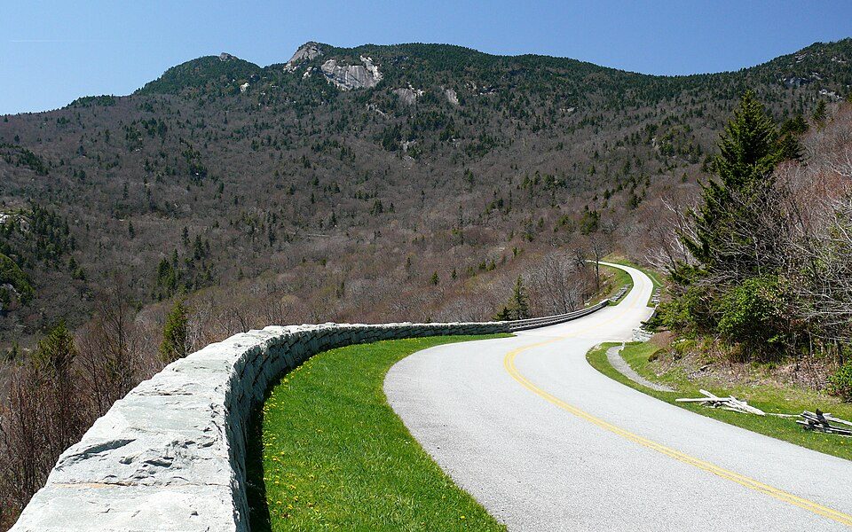
Scenic parkway that runs between Shenandoah National Park in west central Virginia and Great Smoky National Park in western North Carolina.
Each edition grades its towns against each other only.
All of it lies outside: 4 places within 40 miles, none inside Saltville. There are a mountain, a state park and a national forest to choose from. A drive of 41 mi brings you to Blue Ridge Parkway.
Scenic parkway that runs between Shenandoah National Park in west central Virginia and Great Smoky National Park in western North Carolina.
The towns around it, and where to stay →
Most of the 4 out of town lie to the southeast.
Orange: Saltville. Numbers: the best-known places, matching the list below. © OpenStreetMap contributors
These 15 are all within 60 miles.
Scenic parkway that runs between Shenandoah National Park in west central Virginia and Great Smoky National Park in western North Carolina.
Gardens located in Boone, North Carolina, United States.
Ranked by how many people look them up, so the famous places lead and the local favorites follow.
Parks and trails in Saltville →
Blue Ridge Parkway: Ken Thomas, Public domain · Grandfather Mountain: Original uploader was KyleAndMelissa22 at en.wikipedia, Public domain · Mount Rogers: USDA-FS, Public domain · Grayson Highlands State Park: Ken Thomas, Public domain · Cherokee National Forest: Ryan Rice at en.wikipedia, CC BY-SA 3.0 · Breaks Interstate Park: SheepNotGoats (Talk), CC BY-SA 3.0 · Sugar Mountain Resort: Mark Clifton, CC BY-SA 2.0 · Barter Theatre: RebelAt (talk) (Uploads), Public domain · Moses H. Cone Memorial Park: Bill Russ photographer, Public domain · Blue Ridge Music Center: RMLark, CC BY-SA 4.0
 2
 3
 5
 7
 9
 10
 11
 12
 13


