115 years in pictures
Census counts: 2,830 in 1950, 10,893 in 2020. The archive holds 12 old photos and papers going back to 1910 and 5 maps from 1944 on.
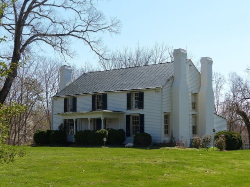
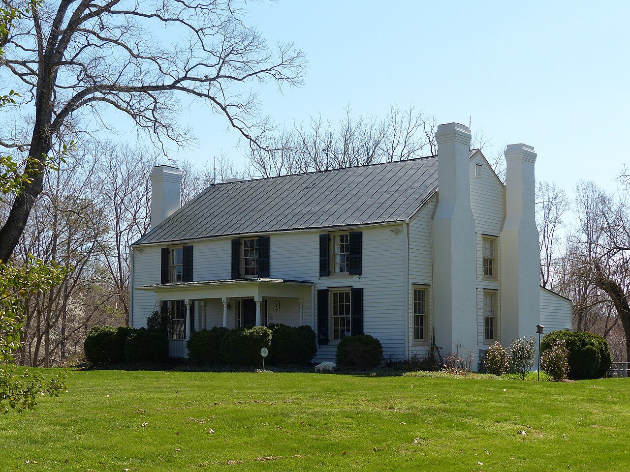
4 places on the National Register of Historic Places.
- 1911Madison Heights is settled
Each edition grades its towns against each other only.

What it saves you on housing, it gives back elsewhere. Its standout strength is cost of living: a typical home costs about $246K, 3.6 years of the Lynchburg metro’s $69K median household income. The weak point is health: CDC estimates put its residents' health behind 78% of the country. It also trails on incomes: the median household income is $60K, and 10% of residents live below the poverty line. Put together, the subjects come to a B− overall, ranking 166th of 249 in Virginia. That leaves it better than 54% of U.S. towns. Madison Heights has 4 places on the National Register of Historic Places, among them Oak Lawn and Speed the Plough. 17% of adults 25 and older hold a bachelor’s degree or more in the town, below both Virginia’s towns (44%) and U.S. towns (29%).
Figures: home values, Zillow · incomes, Census ACS, 2020–24 · health, CDC PLACES · National Register of Historic Places.
Where Madison Heights beats most towns.
Oak LawnWhere Madison Heights’s working residents go each day. Line width shows the share.
Census LEHD 2023
Each subject compared with towns across the country (schools within Virginia), ordered by how far Madison Heights is from typical.
How TownRatings grades towns →
Census counts: 2,830 in 1950, 10,893 in 2020. The archive holds 12 old photos and papers going back to 1910 and 5 maps from 1944 on.
4 places on the National Register of Historic Places.
Madison Heights is unincorporated, so Amherst County and regional agencies provide most services.
EPA SDWIS (Oct 9, 2026) · HIFLD + EIA-861 2025 · Census 2020 ZCTAs · NCES 2024–25 · registration: vote.gov, updated Sep 30, 2026.
Ordered by what stands out in Madison Heights.
Count the trails in 3 parks and preserves and they come to 18 miles. Percival's Island Natural Area, at 59 acres with 1 miles of trail, is the biggest park or preserve. In Madison Heights, the density of trails is 0.9 miles per square mile.
| Madison Heights | Virginia towns | U.S. towns | |
|---|---|---|---|
| Miles of trail per square mile | 0.9 miles per square mile | 0.7 | 0.4 |
| Conserved land | 2.4% | 4.7% | 4.3% |
| Biggest places to walk | Trails | Acres |
|---|---|---|
| 1. Percival's Island Natural Area | 1 mi | 59 |
| 2. Riveredge Park | — | 12 |
| 3. Riverfront Park | — | 1 |
Trails & parks © OpenStreetMap contributors · Conserved land: USGS PAD-US
Two of its 6 schools are below, each with the reason it’s listed. The Amherst County Public Schools runs its public schools. 3 public schools serve Madison Heights, with 1,333 students in all.
| School | Level | Students | Letter |
|---|---|---|---|
| Monelison MiddleLargest public middle schoolGrades 6–8 | Grades 6–8 | 469 | C− |
| Central Va. Training Ctr.Largest public high schoolGrades PK–12 | Grades PK–12 | – | – |
NCES · EDFacts · graded within VA on state tests and graduation
Compared with 87% of U.S. communities, expected storm and flood damage in Madison Heights is lower. One declared disaster, in 2003, has brought federal aid to Madison Heights households. Expected losses in Madison Heights break down as 56% from inland flooding and 12% from strong winds.
FEMA disaster declarations and aid · FEMA National Risk Index · OpenFEMA
The median property tax bill is $810, against $2,790 across Virginia, another input to its cost-of-living grade.
Homes sold in Madison Heights spent a median 10 days on the market. In Madison Heights, the median rent is $871 a month. A third of the homes sold in Madison Heights went for more than their asking price.
| Madison Heights | Virginia towns | U.S. towns | |
|---|---|---|---|
| Median rent | $871 a month | $1,764 a month | $1,185 a month |
| Households that own their home | 71% | 68% | 73% |
Census ACS, 2020–24 · Zillow Home Value Index · Redfin Data Center
The share of adults in Madison Heights who have obesity: 40%. Among adults here, 15% have diabetes and 16% report frequent physical distress.
| Madison Heights | Virginia towns | U.S. towns | |
|---|---|---|---|
| High blood pressure (CDC PLACES) | 41% | 33% | 35% |
| Diabetes (CDC PLACES) | 15% | 11% | 12% |
| Frequent physical distress (CDC PLACES) | 16% | 12% | 14% |
| Obesity (CDC PLACES) | 40% | 34% | 35% |
| What stands out | Madison Heights | VA |
|---|---|---|
| More adults with COPD | 8.7% | 6.2% |
| More adults who have had a stroke | 4.4% | 3.3% |
| More smokers | 16.2% | 12.2% |
CDC PLACES 2025 · modeled estimates for adults · CMS · HRSA
The top destinations are Lynchburg (39%), Amherst (6%) and Forest (3%). Only 7% of working residents stay in Madison Heights for work; the rest commute out. Half of commuters travel less than 9 miles.
| Madison Heights | Virginia towns | U.S. towns | |
|---|---|---|---|
| Median household income | $60,000 | $102,000 | $80,000 |
| Work from home | 8.7% | 18% | 11% |
| Average trip to work | 24 minutes | 27 minutes | 25 minutes |
| Below the poverty line | 11% | 7.7% | 9.6% |
Census LEHD 2023 · ACS
The range runs from 26° on a January night to 87° on a July afternoon, with about 12 inches of snow a winter.
NOAA U.S. Climate Normals, 1991–2020
Museums, parks, gardens and other places to visit around Madison Heights. Close and well known come first.
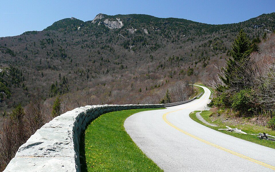
15 mi ParkwayBlue Ridge Parkway16.5M visitors a year
16 mi National Historical ParkAppomattox Court House National Historical Park77K visitors a year
37 mi LakeSmith Mountain Lake
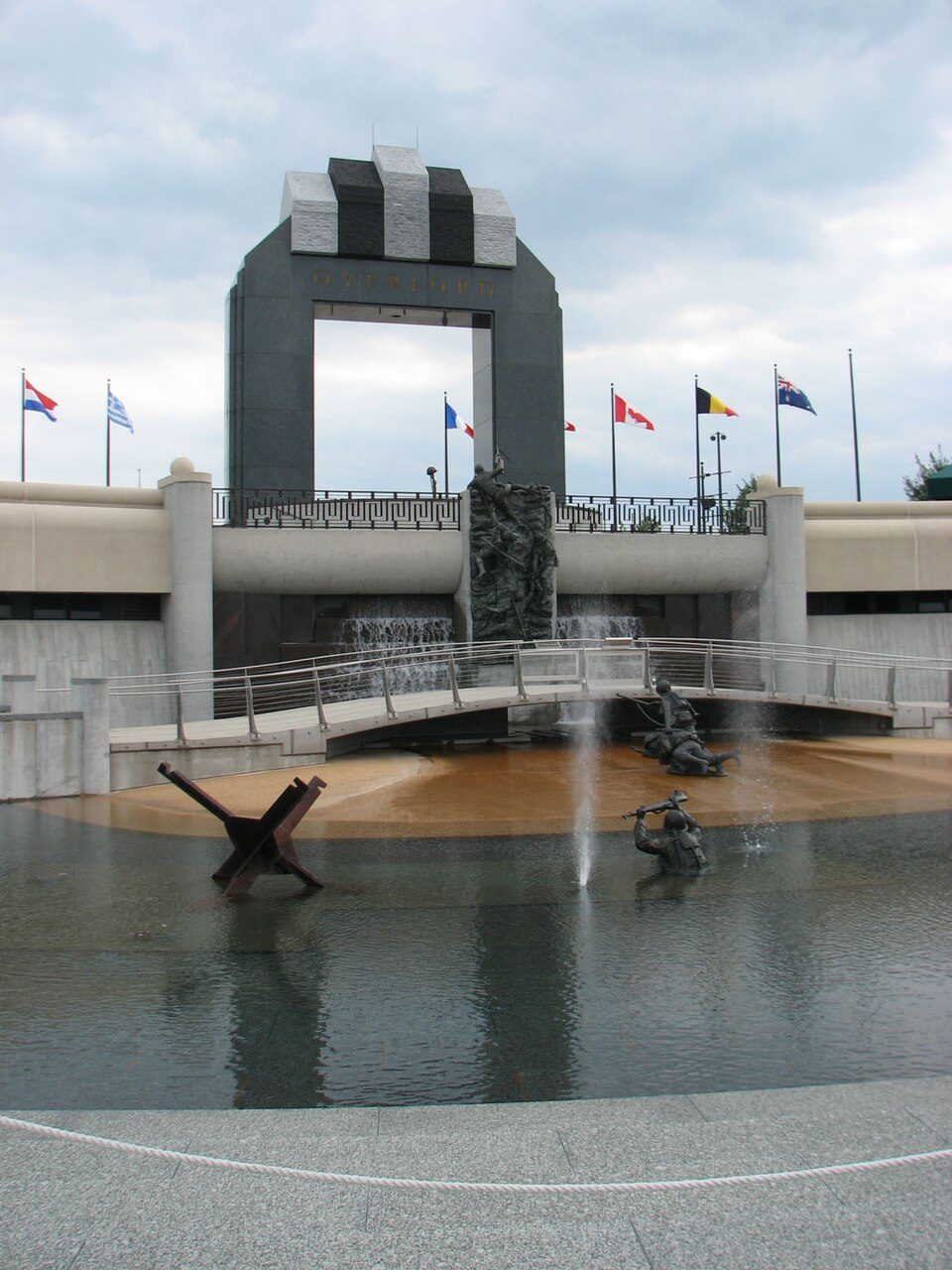
25 mi LandmarkNational D-Day Memorial
31 mi LandmarkRed Hill Patrick Henry National Memorial4 mi MuseumMaier Museum of Art at Randolph CollegeBlue Ridge Parkway: Ken Thomas, Public domain · Appomattox Court House National Historical Park: Doug Coldwell, CC BY-SA 3.0 · Smith Mountain Lake: Jay White, Public domain · National D-Day Memorial: RebelAt at English Wikipedia, Public domain · Red Hill Patrick Henry National Memorial: Jamestown Official Photo Corp., Public domain
7 within 15 miles of the center of Madison Heights
About 5 of every 100 Madison Heights residents are enrolled in college, against 7 across Virginia.
4 places in Madison Heights on the National Register of Historic Places.
Census-designated place in Virginia, United States
Madison Heights is a census-designated place (CDP) in Amherst County, Virginia, United States. The population was 10,893 at the 2020 census. It is part of the Lynchburg Metropolitan Statistical Area.
From Wikipedia, licensed CC BY-SA 4.0 · facts via Wikidata (CC0)
One town shares a border with Madison Heights.
| Town | VA rank | Overall | Cost | Safety | Schools | Health |
|---|---|---|---|---|---|---|
| Madison Heights | #166 | B− | A− | — | B | C− |
| Lynchburg | #222 | C− | C+ | C | D | B− |
Madison Heights reports no FBI crime data of its own. Compare Madison Heights with a neighbor →
Short answers, built from the data on this page.
Madison Heights grades B− overall, better than 54% of U.S. towns and #166 of 249 in Virginia. It grades C− for health and B for schools. Health is its weak spot, with a C−.
Not for the area. Cost of living, which also weighs rents, property taxes and how many households pay 30% or more of their income for housing, grades A−.
2 notable people were born here, including Frank Wright, Jr. and Clay Bryant.