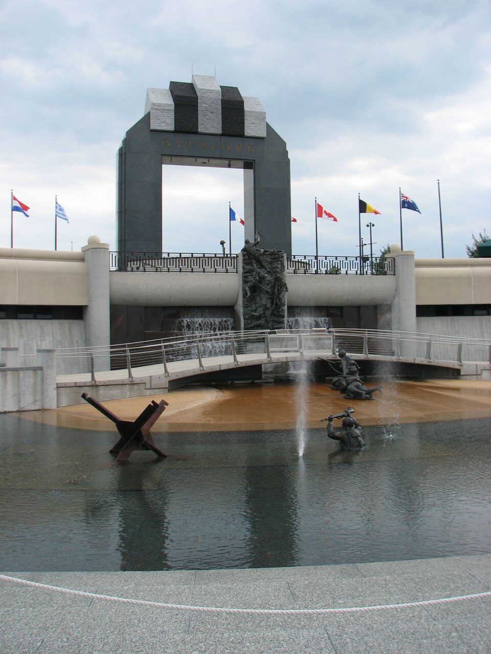
National D-Day Memorial
The National D-Day Memorial is a war memorial located in Bedford, Virginia, United States. Around it, Smith Mountain Lake (20 mi) comes first on our list. Its mildest months, April, May, June, September and October, bring highs of 69–83°F.

A landmark inside Bedford
You can stay in Bedford
National D-Day Memorial is inside Bedford, which has 7 places to stay, so you won’t need a base farther out. Where to stay ↓
Best months: Apr, May, Jun, Sep and Oct
April, May, June, September and October are the mild months, with highs of 69–83°. When to go ↓
Written from NOAA 1991–2020 normals, Overture places to stay, Census town figures and Wikipedia.
Highs and lows by month
A visit to National D-Day Memorial can follow the seasons below.
National D-Day Memorial
The National D-Day Memorial is a war memorial located in Bedford, Virginia, United States. It serves as the national memorial for American D-Day veterans. Additionally, its scope is international in that it is "our nation’s memorial to the valor, fidelity, and sacrifice of the Allied Forces on D-Day, 6 June 1944" and commends all Allied armed forces during the D-Day invasion of Normandy, France, on June 6, 1944, during World War II.
The memorial borders the Blue Ridge Mountains in southwestern Virginia with an area of over 50 acres (20 ha) that overlooks the town of Bedford. It officially opened on June 6, 2001, with 15,000 people present, including President George W. Bush. About 60,000 people visit the memorial each year, with more than half from outside of Virginia.
- Type
- Landmark
- Wikipedia readers
- 10K a year
Towns to stay in near National D-Day Memorial
For a bed close by, look to Bedford (7) and Lynchburg (36).
Compare 8 towns
| Town | From National D-Day Memorial | Drive | Places to stay | People | Typical home | Safety |
|---|---|---|---|---|---|---|
| Bedford | in town | — | 7 3 hotels · 1 motel · 3 inns & B&Bs | 7,911 | $223K | C+ |
| Lynchburg | 19 mi east | 30 min | 36 31 hotels · 4 inns & B&Bs · 1 lodge or cabins | 81,347 | $230K | C |
| Roanoke | 24 mi west | 35 min | 44 33 hotels · 4 motels · 4 inns & B&Bs · 1 lodge or cabins · 1 campground · 1 RV park | 99,111 | $191K | D |
| Daleville | 22 mi west | 30 min | 16 13 hotels · 1 motel · 1 inn or B&B · 1 hostel | 3,797 | $370K | — |
| Hollins | 23 mi west | 35 min | 13 12 hotels · 1 inn or B&B | 17,097 | $244K | — |
| Salem | 29 mi west | 45 min | 19 15 hotels · 2 motels · 2 inns & B&Bs | 25,816 | $259K | — |
| Buchanan | 16 mi northwest | 25 min | 3 1 motel · 1 inn or B&B · 1 campground | 1,212 | $188K | — |
| Altavista | 20 mi southeast | 30 min | 5 3 hotels · 1 motel · 1 inn or B&B | 3,353 | $143K | C− |
Day trip from
Straight-line miles.
Getting there
Nearest airports with airline service
Around National D-Day Memorial
Pair a visit with these, within 55 miles.
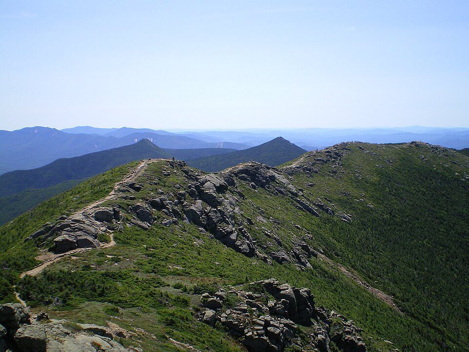 Big draw46 mi Park & preserveAppalachian Trail3.0M visitors a year
 120 mi LakeSmith Mountain Lake
 49 mi Stadium & arenaLane Stadium
 53 mi LandmarkProject Greek Island
 41 mi National Historical ParkAppomattox Court House National Historical Park77K visitors a year
 55 mi LakeMountain Lake
 223 mi MuseumVirginia Museum of Transportation
 41 mi LandmarkRed Hill Patrick Henry National Memorial
Photo credits
Appalachian Trail: Paulba. Original uploader was Paulbalegend at en.wikipedia, CC BY-SA 3.0 · Smith Mountain Lake: Jay White, Public domain · Lane Stadium: User:B, CC BY-SA 4.0 · Project Greek Island: Z22, CC BY-SA 4.0 · Appomattox Court House National Historical Park: Doug Coldwell, CC BY-SA 3.0 · Mountain Lake: Rolfmueller, CC BY-SA 3.0 · Virginia Museum of Transportation: Warfieldian, CC BY-SA 3.0 · Red Hill Patrick Henry National Memorial: Jamestown Official Photo Corp., Public domain


Questions before you go
Is National D-Day Memorial in Bedford?
Yes. It’s inside Bedford, VA.
When is the best time to visit National D-Day Memorial?
April, May, June, September and October, with highs of 69–83°.
How far is National D-Day Memorial from Greensboro and Durham?
About 87 miles south of Greensboro and about 100 miles south of Durham, as the crow flies.
What is the closest airport to National D-Day Memorial?
Lynchburg Regional Airport - Preston Glenn Field (LYH), about 18 miles away. The nearest big hub is Piedmont Triad (GSO), about 88 miles.
Where should I stay near National D-Day Memorial?
Bedford (in town, 7 places to stay), Lynchburg (19 mi, 36 places to stay) and Roanoke (24 mi, 44 places to stay).
Locals’ advice in Bedford
Start the conversation in Bedford’s Town Square.
Sources: National Park Service · ski areas © OpenSkiMap / OpenStreetMap contributors · Wikidata · Wikipedia readership · NOAA climate normals · U.S. Census.