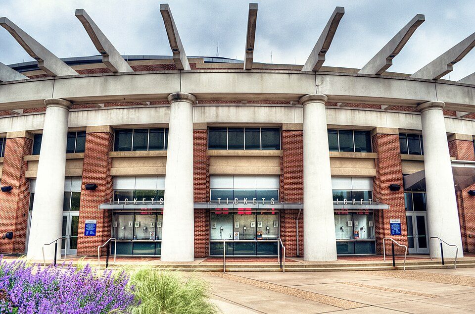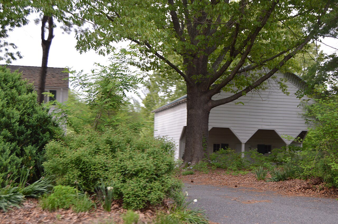
181 years in pictures
The archive holds 5 old photos and papers going back to 2006 and 4 maps from 1935 on.
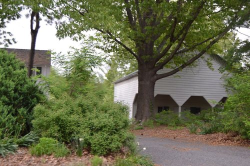
2 places on the National Register of Historic Places.
- 1845Earlysville is settled
Each edition grades its towns against each other only.

Earlysville’s best subject grades are an A for health and schools and an A− for incomes; its weakest is a D for walkability. 72% of adults 25 and older hold a bachelor’s degree or more in Earlysville, against 44% in Virginia’s towns and 29% across U.S. towns. Only 33 of Virginia’s 372 towns score lower on walkability. 13% of the land in Earlysville is conserved, above both Virginia’s towns (4.7%) and U.S. towns (4.3%). Earlysville has 2 places on the National Register of Historic Places, among them Longwood and Earlysville Union Church. Earlysville has fewer than 2,500 residents, so it gets subject grades but no overall grade.
Where Earlysville beats most towns.
In a town this size, neighbors are the best guide. Ask them anything.
Each subject compared with towns across the country (schools within Virginia), ordered by how far Earlysville is from typical.
How TownRatings grades towns →
The archive holds 5 old photos and papers going back to 2006 and 4 maps from 1935 on.
2 places on the National Register of Historic Places.
Earlysville is unincorporated, so Albemarle County and regional agencies provide most services.
EPA SDWIS (Oct 9, 2026) · HIFLD + EIA-861 2025 · Census 2020 ZCTAs · NCES 2024–25 · registration: vote.gov, updated Sep 30, 2026.
Ordered by what stands out in Earlysville.
A typical home in Earlysville is worth about $650,000, up 3.3% in a year, 58% above the Virginia typical home.
Census ACS, 2020–24 · Zillow Home Value Index · Redfin Data Center
The share of adults in Earlysville who had a checkup this year: 82%. Of 32 CDC measures, Earlysville beats the Virginia average on 14 and trails it on 2. Only 8 of the 254 Virginia towns we compare have a lower share of adults who sleep under 7 hours than Earlysville.
| Earlysville | Virginia towns | U.S. towns | |
|---|---|---|---|
| Sleep under 7 hours (CDC PLACES) | 30% | 36% | 36% |
| Yearly checkup (CDC PLACES) | 82% | 79% | 79% |
| Food insecurity (CDC PLACES) | 7% | 12% | 14% |
| Obesity (CDC PLACES) | 30% | 34% | 35% |
| What stands out | Earlysville | VA |
|---|---|---|
| Fewer older adults who have lost all their teeth | 5% | 11.1% |
| Fewer adults facing food insecurity | 7% | 13.1% |
| More adults who have had cancer | 11% | 7.7% |
CDC PLACES 2025 · modeled estimates for adults · CMS · HRSA
Earlysville’s average trip to work comes in at 18 minutes. Half the trips to work are shorter than 9 miles. Among residents in the town, 5.6% live below the poverty line. The top destinations are Charlottesville (21%), University of Virginia (12%) and Hollymead (5%).
| Earlysville | Virginia towns | U.S. towns | |
|---|---|---|---|
| Median household income | $142,000 | $102,000 | $80,000 |
| Average trip to work | 18 minutes | 27 minutes | 25 minutes |
| Below the poverty line | 5.6% | 7.7% | 9.6% |
Census LEHD 2023 · ACS
The range runs from 26° on a January night to 88° on a July afternoon, with about 17 inches of snow a winter.
NOAA U.S. Climate Normals, 1991–2020
Count the trails in 1 park or preserve and they come to 1.0 miles. For Earlysville, the trail network density is 0.3 miles per square mile. This Virginia town has one park or preserve, 11 acres in all.
| Biggest places to walk | Trails | Acres |
|---|---|---|
| 1. Chris Greene Lake Park | — | 11 |
Trails & parks © OpenStreetMap contributors · Conserved land: USGS PAD-US
The risk rating from FEMA in Earlysville is 44 of 100. Federal aid has come to Earlysville households in 2 declared disasters; the latest was in 2011. 71% of the town’s expected losses from natural hazards come from inland flooding, followed by strong winds at 8%.
FEMA disaster declarations and aid · FEMA National Risk Index · OpenFEMA
Museums, parks, gardens and other places to visit around Earlysville. Close and well known come first.
11 mi National ParkShenandoah National Park1.7M visitors a year
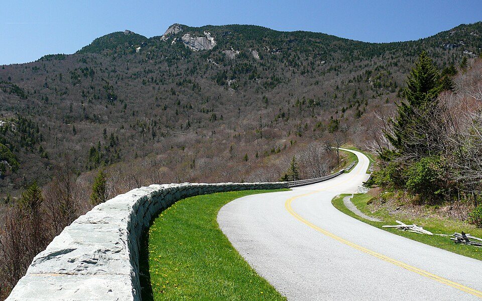
23 mi ParkwayBlue Ridge Parkway16.5M visitors a year
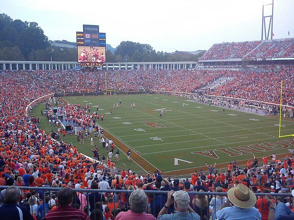
9 mi Stadium & arenaScott Stadium
8 mi Stadium & arenaJohn Paul Jones Arena
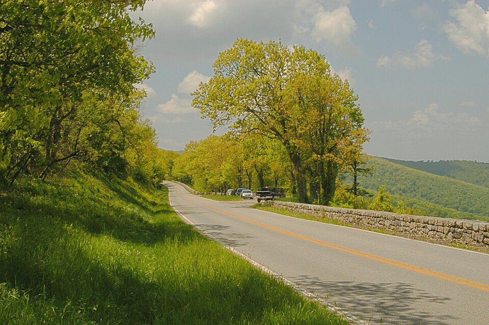
27 mi Scenic driveSkyline Drive
35 mi CaveLuray CavernsShenandoah National Park: Image copyright 2005 by user G. Edward Johnson (user Lorax) and released under t, CC BY-SA 3.0 · Blue Ridge Parkway: Ken Thomas, Public domain · Scott Stadium: Mak7912, CC BY-SA 3.0 · John Paul Jones Arena: Bob Mical, CC BY 2.0 · Skyline Drive: Image copyright 2005 by user G. Edward Johnson (user Lorax) and released under t, CC BY-SA 3.0 · Luray Caverns: Paulo Ordoveza from Washington, DC, CC BY 2.0
2 within 15 miles of the center of Earlysville
About 1 of every 100 Earlysville residents are enrolled in college, against 7 across Virginia.
Where Earlysville’s working residents go each day. Line width shows the share.
Census LEHD 2023
2 places in Earlysville on the National Register of Historic Places.
Unincorporated community in Virginia, United States
Earlysville is an unincorporated community and census-designated place in Albemarle County, Virginia, United States, roughly 9 miles (14 km) north of Charlottesville. It was first listed as a CDP in the 2020 census with a population of 1,153.
From Wikipedia, licensed CC BY-SA 4.0 · facts via Wikidata (CC0)
Short answers, built from the data on this page.
Cost of living, which also weighs rents, property taxes and how many households pay 30% or more of their income for housing, grades B.