
Thompson SpringsUT
A town in Utah.
Is Thompson Springs a good place to live?
Thompson Springs’ peak summer temperature is 95°F, above both the Utah town median (92°F) and the median of U.S. towns (85°F). 63% of the land in Thompson Springs is conserved, above both Utah’s towns (3.4%) and U.S. towns (4.3%). We don’t grade Thompson Springs yet; the figures below are still real.
Arches National Park and 4 more within 40 miles
Museums, parks, gardens and other places to visit around Thompson Springs. Close and well known come first.
 Big draw8 mi National ParkArches National Park1.5M visitors a year
 32 mi National ParkCanyonlands National Park796K visitors a year
 32 mi State parkDead Horse Point State Park
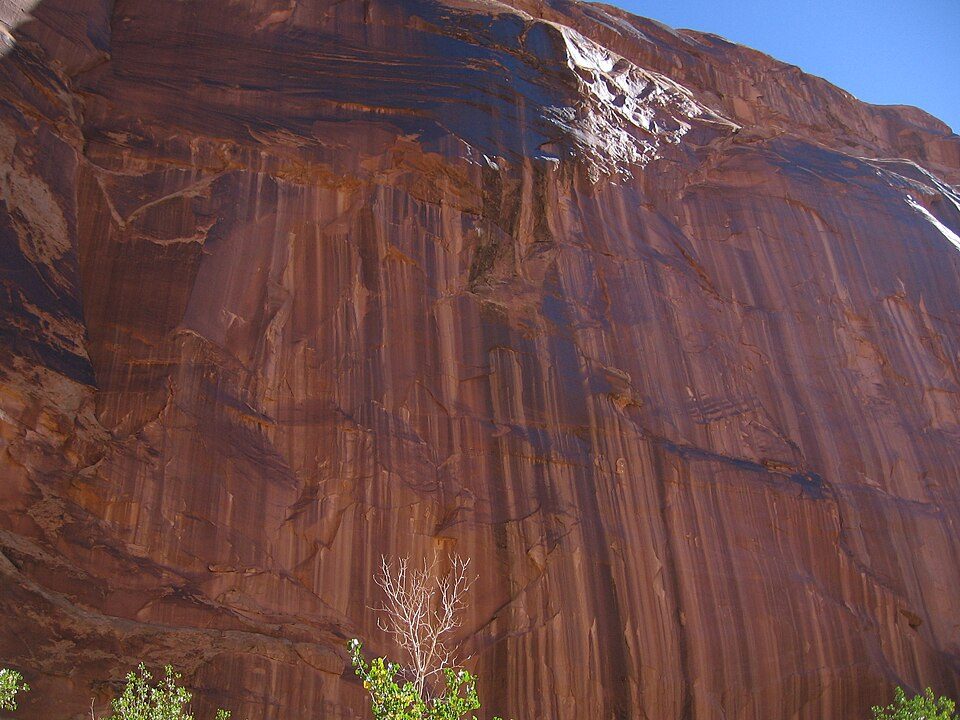 33 mi Canyon & gorgeHorseshoe Canyon
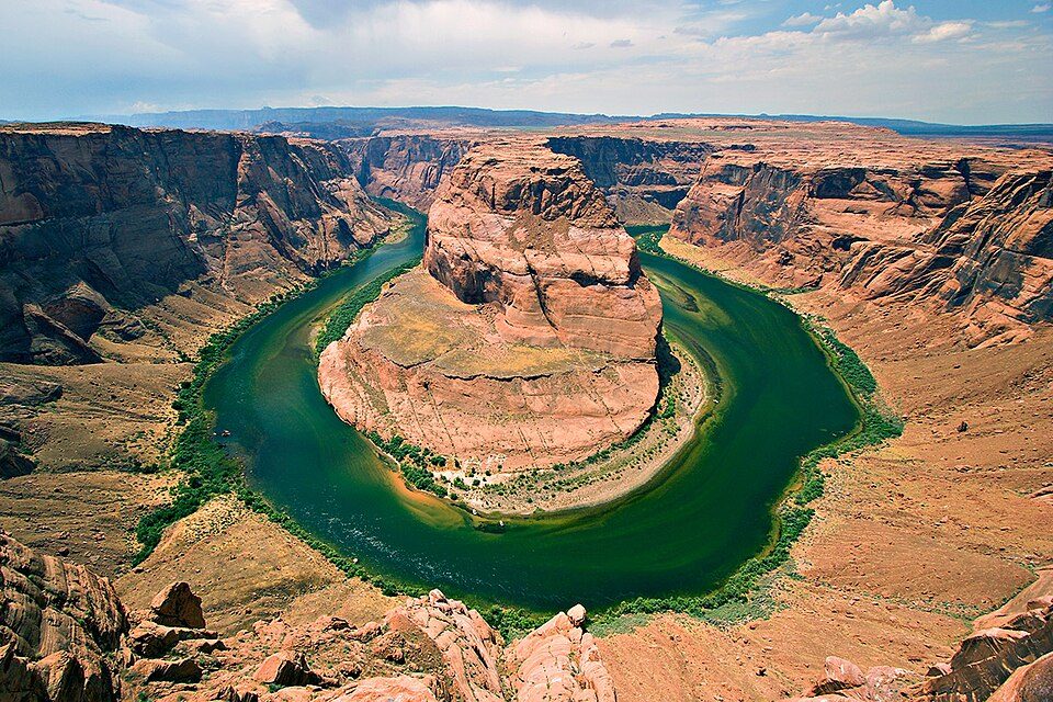 37 mi National Recreation AreaGlen Canyon National Recreation Area3.7M visitors a year
Photo credits
Arches National Park: m01229 from USA, CC BY-SA 2.0 · Canyonlands National Park: Phil Armitage, Public domain · Dead Horse Point State Park: Nikater, Public domain · Horseshoe Canyon: Surfsupusa at en.wikipedia, CC0 · Glen Canyon National Recreation Area: User:Moondigger, CC BY-SA 2.5


Moving to Thompson Springs: who provides what
Thompson Springs is unincorporated, so Grand County and regional agencies provide most services.
EPA SDWIS (Oct 9, 2026) · HIFLD + EIA-861 2025 · Census 2020 ZCTAs · NCES 2024–25 · registration: vote.gov, updated Mar 13, 2026.
The data
Ordered by what stands out in Thompson Springs.
Thompson Springs keeps nearly a third of its land conserved
4.6 miles of trail. The trail density in Thompson Springs is 1.4 miles per square mile.
Trails & parks © OpenStreetMap contributors · Conserved land: USGS PAD-US
Typical low → high °F
NOAA U.S. Climate Normals, 1991–2020
How healthy Thompson Springs is
27% of Thompson Springs adults have been diagnosed with depression. On the CDC’s 32 measures, Thompson Springs is ahead of Utah on 6 and behind on 9. Two figures for adults in the town: 25% have obesity, 7.2% smoke cigarettes.
| Thompson Springs | Utah towns | U.S. towns | |
|---|---|---|---|
| Binge drink (CDC PLACES) | 9.3% | 11% | 16% |
| Obesity (CDC PLACES) | 25% | 31% | 35% |
| Smoke cigarettes (CDC PLACES) | 7.2% | 8% | 14% |
| Yearly checkup (CDC PLACES) | 75% | 72% | 79% |
| What stands out | Thompson Springs | UT |
|---|---|---|
| Fewer binge drinkers | 9.3% | 12.4% |
| Fewer uninsured adults | 8.1% | 10.5% |
| More adults with heart disease | 7.6% | 4.7% |
CDC PLACES 2025 · modeled estimates for adults · CMS · HRSA
Top of a moderate hazard risk in Thompson Springs: inland flooding
Compared with 52% of U.S. communities, expected storm and flood damage in Thompson Springs is higher. 44% of the town’s expected losses from natural hazards come from inland flooding, followed by avalanches at 27%.
FEMA National Risk Index · OpenFEMA
Everything we know about Thompson Springs
Colleges nearby
None within 15 miles of Thompson Springs; the nearest are
About Thompson Springs
Census-designated place in Utah, United States
Thompson Springs, also officially known for a time as just Thompson, is a small census-designated place in central Grand County, Utah, United States. As of the 2020 census, Thompson Springs had a population of 34. The town is just north of the east–west highway route shared by Interstate 70, U.S. Route 6 and U.S. Route 50, between Crescent Junction and Cisco. Moab, the county seat, is 37 miles (60 km) to the south. Thompson Springs is located in high desert country with the Book Cliffs just to the north.
From Wikipedia, licensed CC BY-SA 4.0 · facts via Wikidata (CC0)
- Area
- 3.2 sq mi
- Elevation
- 5,082 ft
- ZIP code
- 84540
- Area code
- 435
Questions about Thompson Springs
Short answers, built from the data on this page.
Is Thompson Springs, UT a good place to live?
We don’t grade Thompson Springs yet; the figures below are still real. A town in Utah.