Cedar HighlandsUT
A town, incorporated in 2018.
Is Cedar Highlands a good place to live?
Cedar Highlands’ concentration of trails is 1.4 miles per square mile, where Utah’s towns sit at 1.1 and U.S. towns at 0.4. We don’t grade Cedar Highlands yet; the figures below are still real.
100% of working residents leave Cedar Highlands for work
Where Cedar Highlands’s working residents go each day. Line width shows the share.
Census LEHD 2023
Moving to Cedar Highlands: who provides what
Cedar Highlands is unincorporated, so Iron County and regional agencies provide most services.
EPA SDWIS (Oct 9, 2026) · HIFLD + EIA-861 2025 · Census 2020 ZCTAs · NCES 2024–25 · registration: vote.gov, updated Mar 13, 2026.
The data
Ordered by what stands out in Cedar Highlands.
With only 0.0 jobs per working resident, most people in Cedar Highlands work out of town
The median commute is under 10 miles. The top destinations are Cedar City (43%), St. George (12%) and Kanarraville (6%).
Where working residents work
Census LEHD 2023 · ACS
Compared with most of Utah and the rest of the country, a typical July afternoon in Cedar Highlands is cooler
The seasons in Cedar Highlands: chilly, snowy winters, pleasant summers, with very little rain. July afternoons reach 83°, January nights drop to 20° and about 55 inches of snow falls in a winter.
Typical low → high °F
NOAA U.S. Climate Normals, 1991–2020
A larger share of adults in Cedar Highlands have high blood pressure than in the typical Utah or U.S. town
37% of adults have obesity in Cedar Highlands, above both Utah’s towns (31%) and U.S. towns (35%); what’s more, only one of the 119 Utah towns we compare has a higher share of adults who have diabetes than Cedar Highlands. The share of adults in Cedar Highlands who have been diagnosed with depression: 25%. This Utah town beats the Utah average on 8 of 32 CDC measures and trails it on 11.
| Cedar Highlands | Utah towns | U.S. towns | |
|---|---|---|---|
| Binge drink (CDC PLACES) | 9% | 11% | 16% |
| Feel lonely (CDC PLACES) | 28% | 33% | 33% |
| Diabetes (CDC PLACES) | 13% | 8.4% | 12% |
| High blood pressure (CDC PLACES) | 37% | 28% | 35% |
| What stands out | Cedar Highlands | UT |
|---|---|---|
| Fewer uninsured adults | 6.6% | 10.5% |
| Fewer binge drinkers | 9% | 12.4% |
| More adults with heart disease | 8.2% | 4.7% |
CDC PLACES 2025 · modeled estimates for adults · CMS · HRSA
Cedar Highlands has a moderate natural-hazard risk, chiefly from inland flooding
Expected losses in Cedar Highlands break down as 36% from inland flooding and 35% from wildfires. For Cedar Highlands, the FEMA risk score is 42 of 100.
FEMA National Risk Index · OpenFEMA
Trails & parks © OpenStreetMap contributors · Conserved land: USGS PAD-US
Zion National Park and 8 more within 40 miles
Museums, parks, gardens and other places to visit around Cedar Highlands. Close and well known come first.
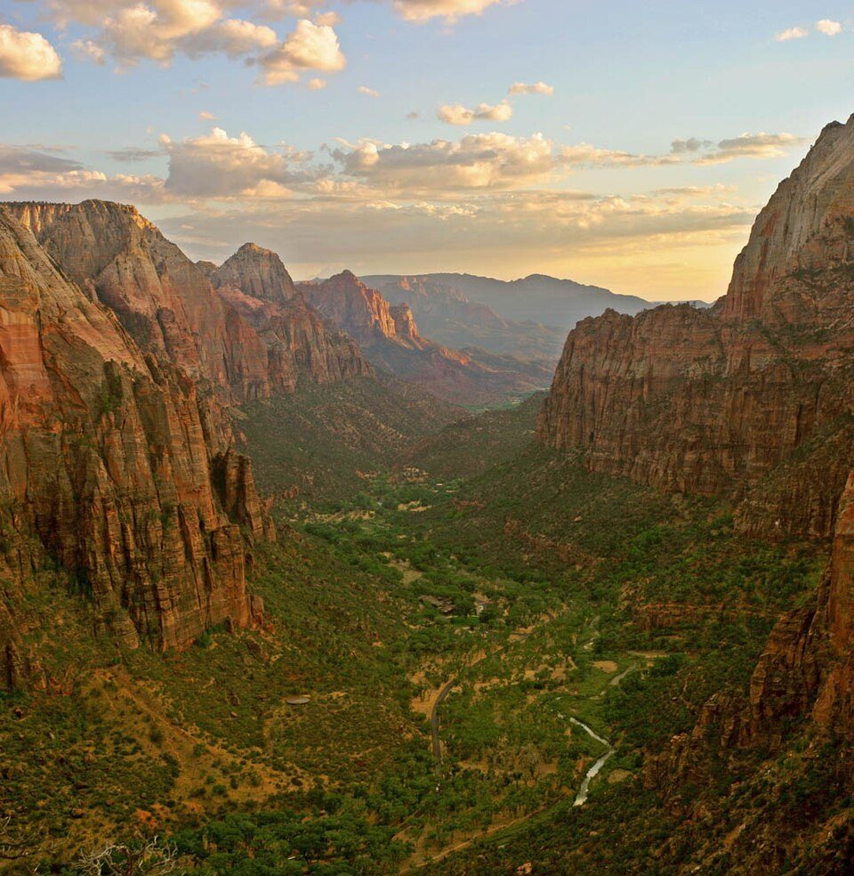 Big draw11 mi National ParkZion National Park5.0M visitors a year
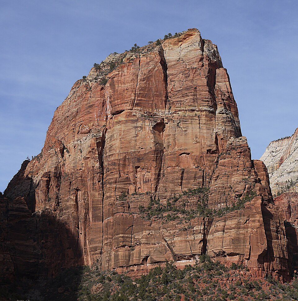 26 mi MountainAngels Landing
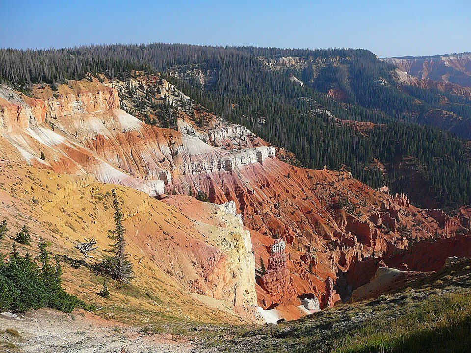 9 mi National MonumentCedar Breaks National Monument718K visitors a year
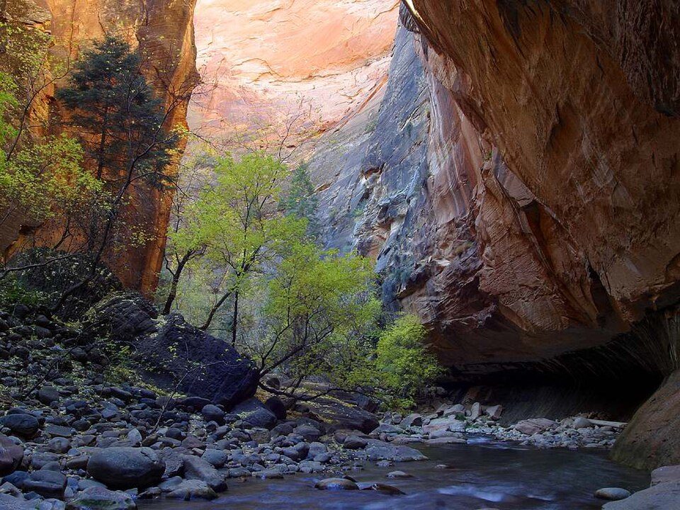 23 mi Canyon & gorgeThe Narrows
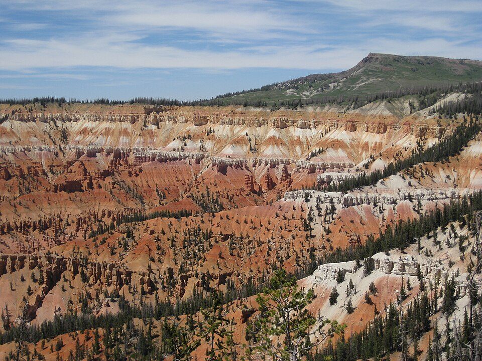 11 mi Ski areaBrian Head Resort69 runs · 1,300 ft vertical
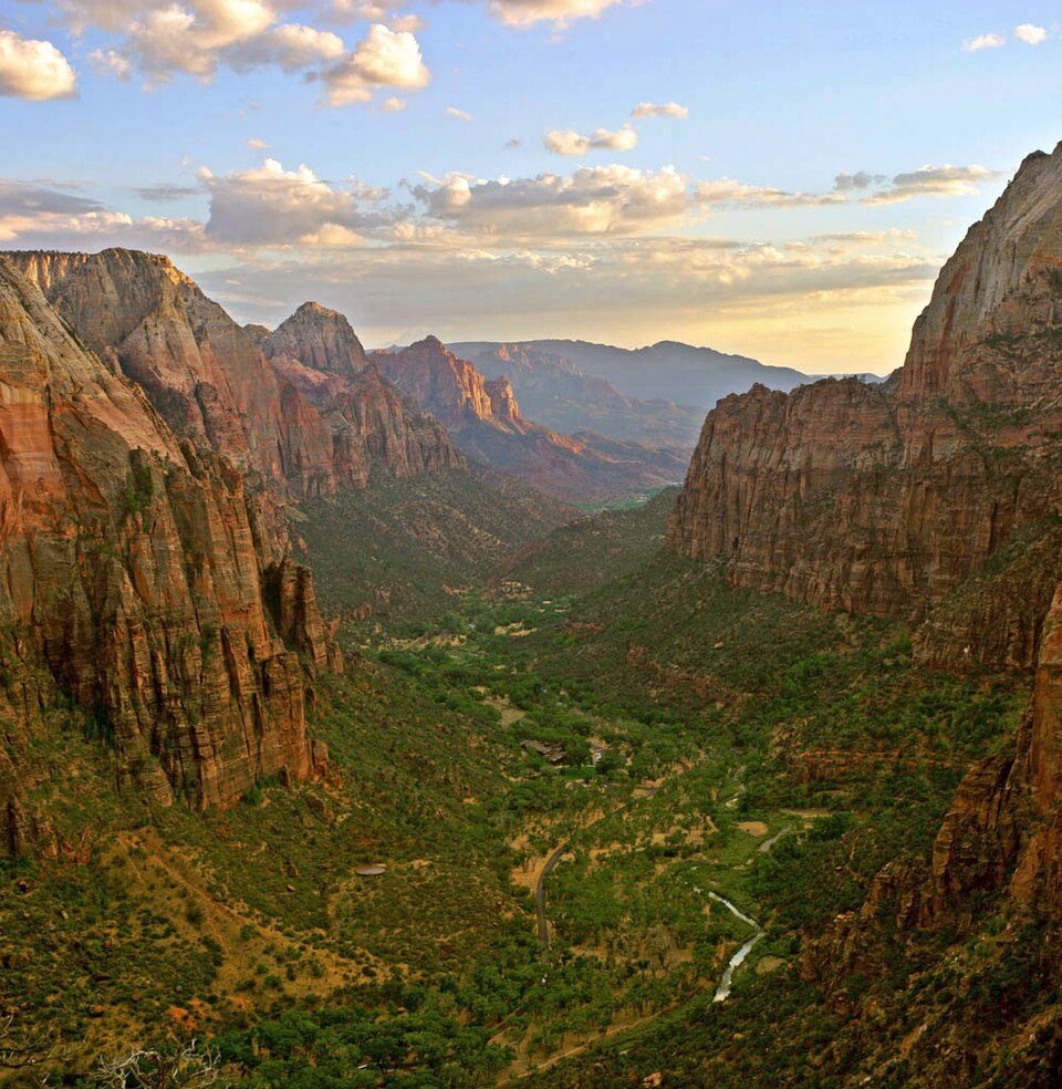 33 mi Canyon & gorgeZion Canyon
Photo credits
Zion National Park: Diliff, CC BY-SA 3.0 · Angels Landing: Óðinn, CC BY-SA 2.5 ca · Cedar Breaks National Monument: Original uploader was Averette at en.wikipedia, CC BY 3.0 · The Narrows: Jon Sullivan, Public domain · Brian Head Resort: brewbooks from near Seattle, USA, CC BY-SA 2.0 · Zion Canyon: No machine-readable author provided. Antilived assumed (based on copyright claim, CC BY-SA 3.0


Everything we know about Cedar Highlands
Colleges nearby
1 within 15 miles of the center of Cedar Highlands
About Cedar Highlands
Unincorporated community in Utah, United States
Cedar Highlands is a subdivision east of Cedar City in Iron County, Utah. It was incorporated as a town in 2018, but this was dissolved in 2020 following a vote of the residents. The population at the 2020 census was 99, significantly down from 368 at the 2010 census.
From Wikipedia, licensed CC BY-SA 4.0 · facts via Wikidata (CC0)
Questions about Cedar Highlands
Short answers, built from the data on this page.
Is Cedar Highlands, UT a good place to live?
We don’t grade Cedar Highlands yet; the figures below are still real. A town, incorporated in 2018.