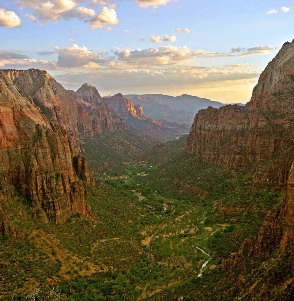
Zion Canyon
Zion Canyon (also called Little Zion, Mukuntuweap, Mu-Loon'-Tu-Weap, and Straight Cañon; weap is Paiute for canyon) is a deep and narrow gorge in southwestern Utah, United States, carved by the North Fork of the Virgin River. It lies in Springdale itself. Nearby, Zion National Park (2.9 mi) leads the list.

A canyon & gorge inside Springdale
Summers are hot
July highs run 97–97°, and about 119 days a year reach 90°. When to go ↓
You can stay in Springdale
Zion Canyon is inside Springdale, which has 32 places to stay, so you won’t need a base farther out. Where to stay ↓
Best months: May and Oct
May and October are the mild months, with highs of 75–81°. When to go ↓
Written from NOAA 1991–2020 normals, Overture places to stay, Census town figures, Wikidata and Wikipedia.
Month by month
Below are typical highs and lows near Zion Canyon.
Zion Canyon
Zion Canyon (also called Little Zion, Mukuntuweap, Mu-Loon'-Tu-Weap, and Straight Cañon; weap is Paiute for canyon) is a deep and narrow gorge in southwestern Utah, United States, carved by the North Fork of the Virgin River. Nearly the entire canyon is located within the eastern half of Zion National Park.
- Type
- Canyon & gorge
- Elevation
- 3,763 ft
- Wikipedia readers
- 12K a year
Places to stay near Zion Canyon
The nearest towns with places to stay are Springdale (32) and Rockville (8).
Compare 8 towns
| Town | From Zion Canyon | Drive | Places to stay | People | Typical home | Safety |
|---|---|---|---|---|---|---|
| Springdale 26% vacation homes | in town | — | 32 14 hotels · 2 motels · 7 inns & B&Bs · 5 lodges & cabins · 4 campgrounds | 602 | $867K | — |
| Rockville | 3 mi southwest | 5 min | 8 1 hotel · 7 inns & B&Bs | 225 | $492K | — |
| Hildale | 10 mi south | 15 min | 12 2 hotels · 4 inns & B&Bs · 4 lodges & cabins · 2 campgrounds | 1,319 | $379K | C+ |
| Hurricane | 19 mi west | 30 min | 28 17 hotels · 1 inn or B&B · 1 lodge or cabins · 3 campgrounds · 6 RV parks | 25,745 | $456K | B− |
| Virgin | 11 mi west | 15 min | 9 3 hotels · 1 lodge or cabins · 5 campgrounds | 714 | $586K | — |
| La Verkin | 14 mi west | 20 min | 9 7 hotels · 1 inn or B&B · 1 RV park | 4,515 | $393K | B− |
| Kanab | 30 mi east | 45 min | 43 19 hotels · 4 motels · 6 inns & B&Bs · 6 lodges & cabins · 2 campgrounds · 6 RV parks | 5,332 | $457K | B+ |
| Orderville | 20 mi east | 30 min | 12 6 hotels · 1 motel · 1 inn or B&B · 3 lodges & cabins · 1 RV park | 602 | $368K | — |
Getting there
Nearest airports with airline service
After Zion Canyon
Within 66 miles you can add these well-known places.
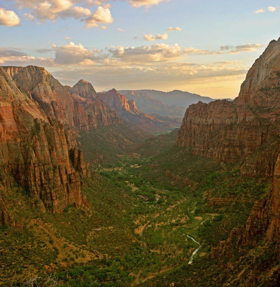 Big draw13 mi National ParkZion National Park5.0M visitors a year
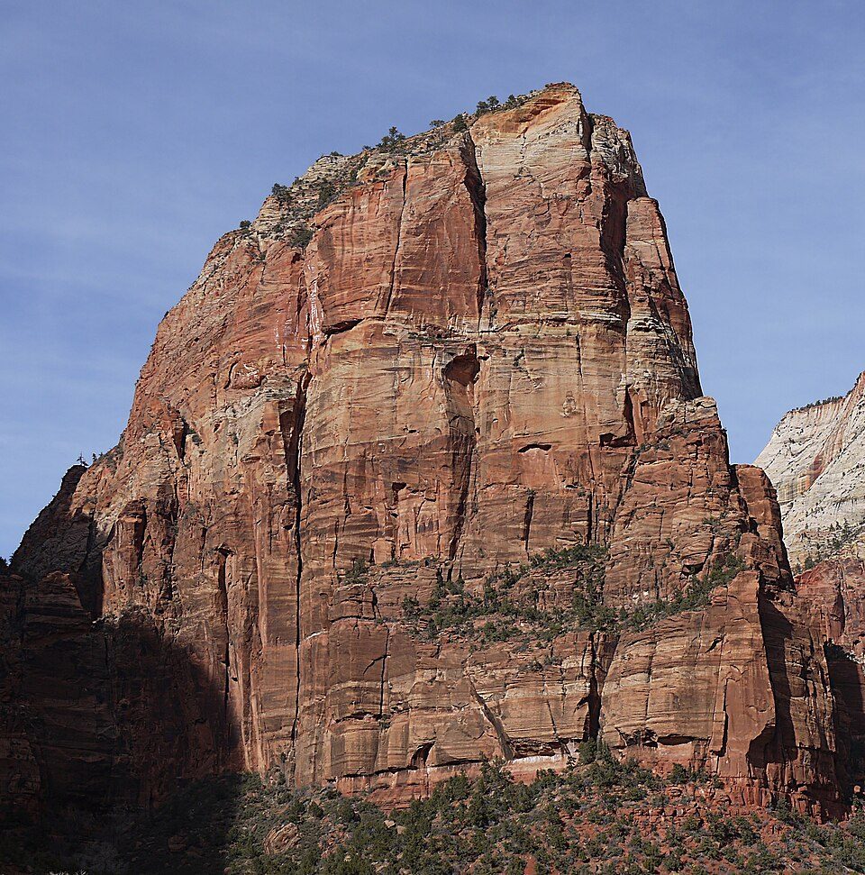 28 mi MountainAngels Landing
 Big draw57 mi National ParkBryce Canyon National Park2.0M visitors a year
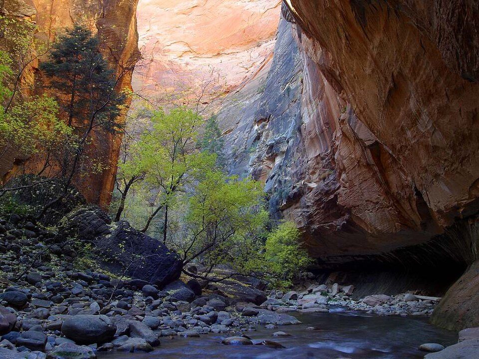 310 mi Canyon & gorgeThe Narrows
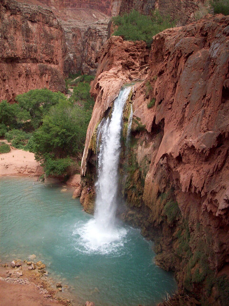 65 mi WaterfallHavasu Falls
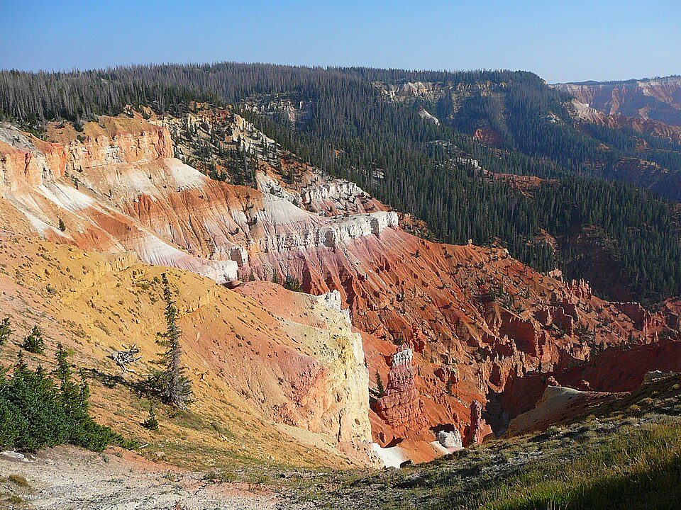 34 mi National MonumentCedar Breaks National Monument718K visitors a year
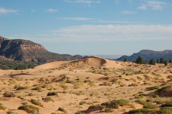 418 mi State parkCoral Pink Sand Dunes State Park
 35 mi State parkSnow Canyon State Park
Photo credits
Zion National Park: Diliff, CC BY-SA 3.0 · Angels Landing: Óðinn, CC BY-SA 2.5 ca · Bryce Canyon National Park: Luca Galuzzi (Lucag), CC BY-SA 2.5 · The Narrows: Jon Sullivan, Public domain · Havasu Falls: Gonzo fan2007, CC BY-SA 3.0 · Cedar Breaks National Monument: Original uploader was Averette at en.wikipedia, CC BY 3.0 · Coral Pink Sand Dunes State Park: No machine-readable author provided. RJHall assumed (based on copyright claims)., CC BY-SA 3.0 · Snow Canyon State Park: Unknown, CC BY 2.5


Zion Canyon: what to know
Is Zion Canyon in Springdale?
Yes. It’s inside Springdale, UT.
When is the best time to visit Zion Canyon?
May and October, with highs of 75–81°.
What is the closest airport to Zion Canyon?
St George Regional (SGU), about 29 miles away. The nearest big hub is Harry Reid (LAS), about 140 miles.
Where should I stay near Zion Canyon?
Springdale (in town, 32 places to stay), Rockville (3 mi, 8 places to stay) and Hildale (10 mi, 12 places to stay).
Ask people in Springdale
People in Springdale have not posted tips yet; their Town Square is open.
Sources: National Park Service · ski areas © OpenSkiMap / OpenStreetMap contributors · Wikidata · Wikipedia readership · NOAA climate normals · U.S. Census.