Zion National Park
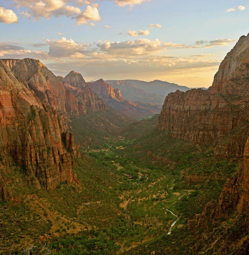
Zion National Park is a national park of the United States located in southwestern Utah near the town of Springdale.

A national park, 2 mi northeast of Springdale
June is the busiest month
June averages about 583,151 visitors, 4.4 times January. When to go ↓
One of the most looked-up attractions in the U.S.
About 167K people a year read its Wikipedia article, more than for 98% of the 7,799 attractions we track.
Summers are hot
July highs run 97–97°, and about 119 days a year reach 90°. When to go ↓
You can sleep inside the park
4 places to stay are inside the park: Zion Lodge Historic District and Watchman Campground. The nearest town with more is Springdale. Where to stay ↓
Springdale is inside the park
Springdale sits inside the park’s boundary. Where to stay ↓
Written from National Park Service visitor counts, NOAA 1991–2020 normals, Overture places to stay, Census town figures, Wikidata and Wikipedia. Updated when the Park Service posts a new month.
Crowds and weather, month by month
Bars: average monthly visitors, 2022–2025. Line: the typical afternoon high. Green months are mild and quieter than average.
Zion National Park
Zion National Park is a national park of the United States located in southwestern Utah near the town of Springdale. Located at the junction of the Colorado Plateau, Great Basin, and Mojave Desert regions, the park has a unique geography and a variety of life zones that allow for unusual plant and animal diversity. Numerous plant species as well as 289 species of birds, 75 mammals (including 19 species of bat), and 32 reptiles inhabit the park's four life zones: desert, riparian, woodland, and coniferous forest. Zion National Park includes mountains, canyons, buttes, mesas, monoliths, rivers, slot canyons, and natural arches. The lowest point in the park is 3,666 ft (1,117 m) at Coalpits Wash and the highest peak is 8,726 ft (2,660 m) at Horse Ranch Mountain.
- Type
- National Park
- Established
- 1919
- Area
- 230 square miles
- Run by
- National Park Service
- Listed
- International Dark Sky Park (2021)
- Wikipedia readers
- 167K a year
- Official site
- nps.gov/zion
Before you go
- Private Vehicle$35
- Motorcycle$30
- Snowmobile$20
- Per Person$20
Where to stay near Zion National Park
You can sleep inside the park (4 places). The closest towns with hotels, motels or campgrounds are Springdale (32) and Rockville (8).
Stay in the park
- Zion Lodge Historic District hotel
- Watchman Campground campground
- Zion NP South Campground campground
- Lava Point Campground campground
Springdale
The closest town with somewhere to stay.
602 people · 26% vacation homes
2 mi southwest of Zion Canyon Visitor Center
Compare 8 towns
| Town | From the visitor center | Drive | Places to stay | People | Typical home | Safety |
|---|---|---|---|---|---|---|
| Springdale 26% vacation homes | inside the park | 5 min | 32 14 hotels · 2 motels · 7 inns & B&Bs · 5 lodges & cabins · 4 campgrounds | 602 | $867K | — |
| Rockville | 5 mi southwest | 10 min | 8 1 hotel · 7 inns & B&Bs | 225 | $492K | — |
| Hildale | 13 mi south | 20 min | 12 2 hotels · 4 inns & B&Bs · 4 lodges & cabins · 2 campgrounds | 1,319 | $379K | C+ |
| Virgin | 12 mi west | 20 min | 9 3 hotels · 1 lodge or cabins · 5 campgrounds | 714 | $586K | — |
| Hurricane | 21 mi west | 30 min | 28 17 hotels · 1 inn or B&B · 1 lodge or cabins · 3 campgrounds · 6 RV parks | 25,745 | $456K | B− |
| La Verkin | 15 mi west | 20 min | 9 7 hotels · 1 inn or B&B · 1 RV park | 4,515 | $393K | B− |
| St. George | 34 mi west | 50 min | 74 56 hotels · 3 motels · 6 inns & B&Bs · 4 lodges & cabins · 5 RV parks | 108,713 | $496K | B− |
| Orderville | 19 mi east | 30 min | 12 6 hotels · 1 motel · 1 inn or B&B · 3 lodges & cabins · 1 RV park | 602 | $368K | — |
Getting there
Nearest airports with airline service, from the visitor center
Also near Zion National Park
Other well-known places within 68 miles. Numbered ones are on the map above.
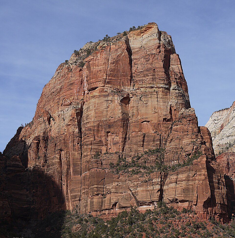 15 mi MountainAngels Landing
 Big draw54 mi National ParkBryce Canyon National Park2.0M visitors a year
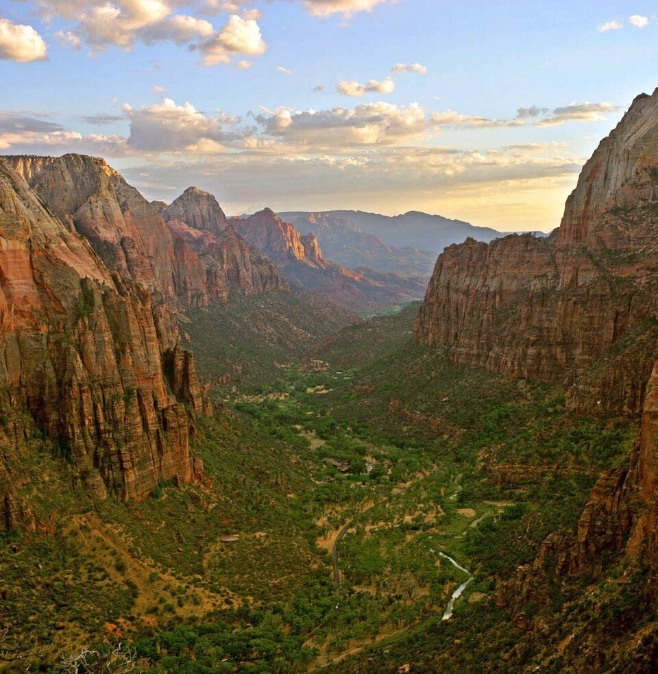 23 mi Canyon & gorgeZion Canyon
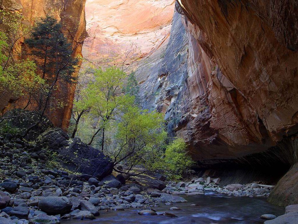 38 mi Canyon & gorgeThe Narrows
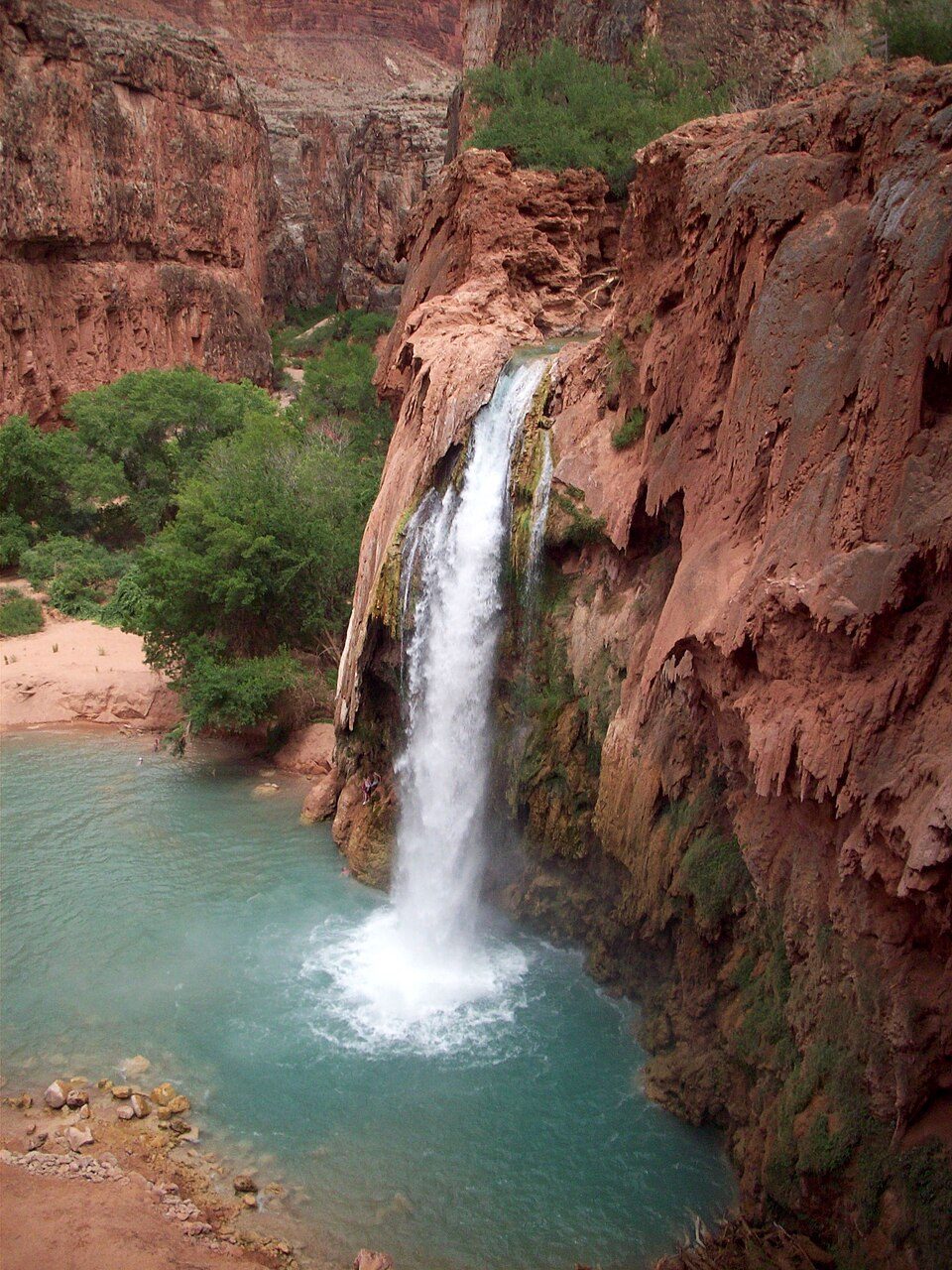 67 mi WaterfallHavasu Falls
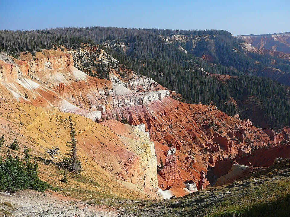 431 mi National MonumentCedar Breaks National Monument718K visitors a year
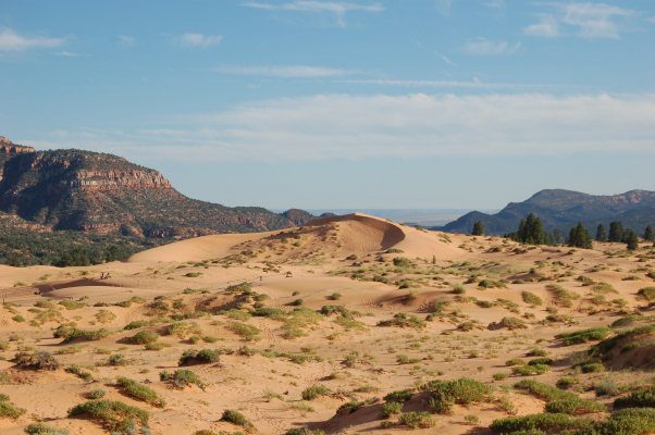 519 mi State parkCoral Pink Sand Dunes State Park
 636 mi State parkSnow Canyon State Park
Photo credits
Angels Landing: Óðinn, CC BY-SA 2.5 ca · Bryce Canyon National Park: Luca Galuzzi (Lucag), CC BY-SA 2.5 · Zion Canyon: No machine-readable author provided. Antilived assumed (based on copyright claim, CC BY-SA 3.0 · The Narrows: Jon Sullivan, Public domain · Havasu Falls: Gonzo fan2007, CC BY-SA 3.0 · Cedar Breaks National Monument: Original uploader was Averette at en.wikipedia, CC BY 3.0 · Coral Pink Sand Dunes State Park: No machine-readable author provided. RJHall assumed (based on copyright claims)., CC BY-SA 3.0 · Snow Canyon State Park: Unknown, CC BY 2.5


4,984,525 visitors in 2025
Every full year the Park Service has counted. 2020 (gold) was the pandemic year. Green is the record (2021).
Visiting Zion National Park
What town is Zion National Park near?
Springdale, UT, about 2 miles southwest.
When is the best time to visit Zion National Park?
May and October, with highs of 75–81°. June is the busiest month (about 583,151 visitors).
How many people visit Zion National Park each year?
4,984,525 in 2025, according to the National Park Service. The record is 5,039,835, set in 2021.
What is the closest airport to Zion National Park?
St George Regional (SGU), about 31 miles away. The nearest big hub is Harry Reid (LAS), about 143 miles.
Where should I stay near Zion National Park?
Inside the park: Zion Lodge Historic District, Watchman Campground and Zion NP South Campground. Nearby: Springdale (2 mi, 32 places to stay), Rockville (5 mi, 8 places to stay) and Hildale (13 mi, 12 places to stay).
Tips from people in Springdale
No tips yet. Ask, or answer, in Springdale’s Town Square.
Sources: National Park Service · ski areas © OpenSkiMap / OpenStreetMap contributors · Wikidata · Wikipedia readership · National Park Service visitor use statistics · NOAA climate normals · U.S. Census.