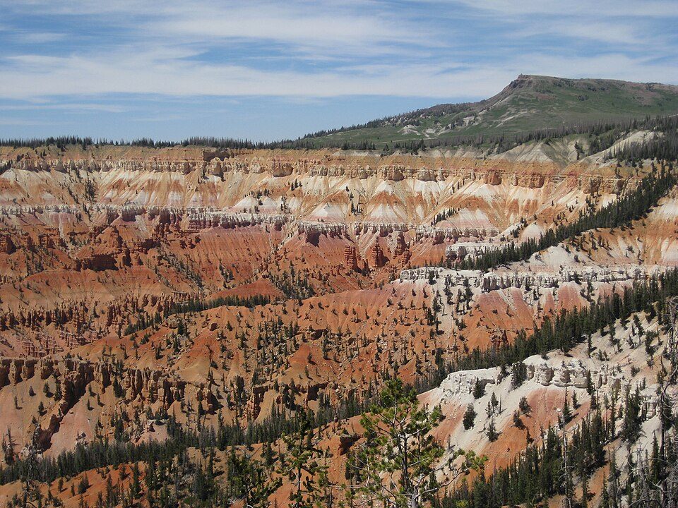
Brian Head Resort
Brian Head, at 11,312 feet (3,448 m) high, is the highest peak on the Markagunt Plateau and in Iron County in southwestern Utah, United States. Head to Brian Head to see it. Nearby, Cedar Breaks (3.3 mi) leads the list.

A ski area inside Brian Head
Winters are cold
January nights drop to 14°. When to go ↓
You can stay in Brian Head
Brian Head Resort is inside Brian Head, which has 17 places to stay, so you won’t need a base farther out. Where to stay ↓
Written from NOAA 1991–2020 normals, Overture places to stay, Census town figures, Wikidata and Wikipedia.
Choosing a month
This is the year’s weather near Brian Head.
Brian Head Resort
Brian Head, at 11,312 feet (3,448 m) high, is the highest peak on the Markagunt Plateau and in Iron County in southwestern Utah, United States. Brian Head Peak is located east of Cedar City and just north of Cedar Breaks National Monument in Dixie National Forest. The town of Brian Head at the western base of the mountain is the location of the Brian Head Ski Resort.
Brian Head has the name of a government surveyor. There is a Forest Service lookout on the peak that was built in 1934–1935, and there is also a road to the summit that can be driven in summer.
- Type
- Ski area
- Elevation
- 11,309 ft
- Terrain
- 69 runs · 1,300 ft vertical · 13 lifts
- Wikipedia readers
- 2.9K a year
- Official site
- brianhead.com
Staying near Brian Head Resort
Lodging nearby is in Brian Head (17) and Cedar City (46).
Compare 8 towns
| Town | From Brian Head | Drive | Places to stay | People | Typical home | Safety |
|---|---|---|---|---|---|---|
| Brian Head 77% vacation homes | in town | — | 17 13 hotels · 4 lodges & cabins | 162 | $468K | — |
| Cedar City | 14 mi west | 20 min | 46 26 hotels · 4 motels · 7 inns & B&Bs · 2 lodges & cabins · 3 campgrounds · 4 RV parks | 41,871 | $377K | B |
| Parowan | 10 mi north | 15 min | 9 2 hotels · 2 motels · 3 inns & B&Bs · 2 RV parks | 3,282 | $343K | — |
| Panguitch | 24 mi east | 35 min | 21 5 hotels · 8 motels · 3 inns & B&Bs · 3 campgrounds · 2 RV parks | 1,779 | $332K | — |
| Hatch 38% vacation homes | 23 mi east | 35 min | 5 1 motel · 2 inns & B&Bs · 1 lodge or cabins · 1 RV park | 135 | $292K | — |
| Enoch | 12 mi northwest | 20 min | 1 1 RV park | 8,847 | $386K | A |
| Kanarraville | 21 mi southwest | 30 min | 3 1 hotel · 1 campground · 1 RV park | 491 | $356K | — |
| Glendale 20% vacation homes | 28 mi southeast | 40 min | 6 3 hotels · 1 lodge or cabins · 2 RV parks | 339 | $275K | — |
Getting there
Nearest airports with airline service
While you are near Brian Head
More places people know lie within 56 miles.
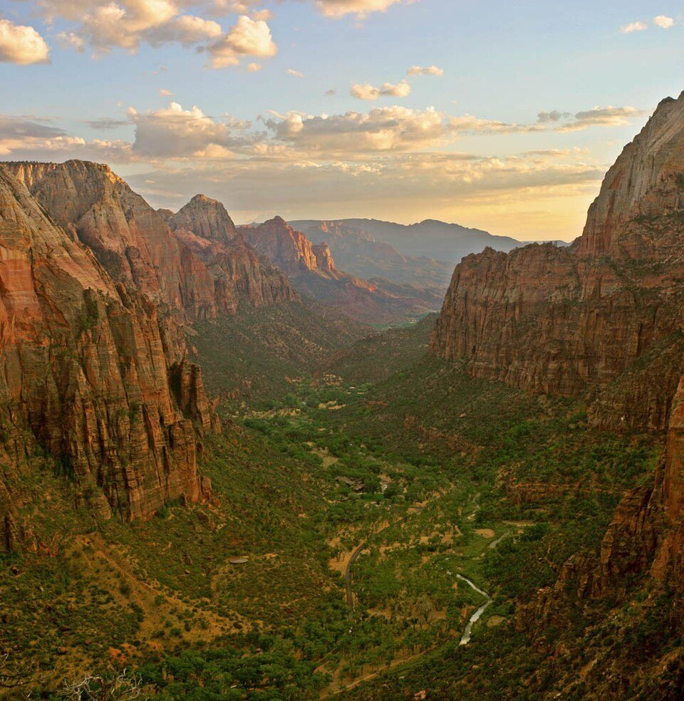 Big draw35 mi National ParkZion National Park5.0M visitors a year
 Big draw37 mi National ParkBryce Canyon National Park2.0M visitors a year
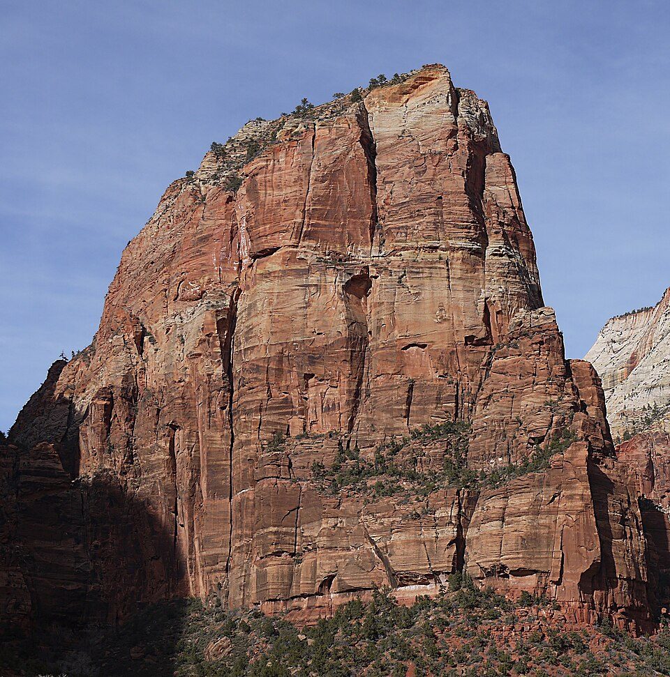 130 mi MountainAngels Landing
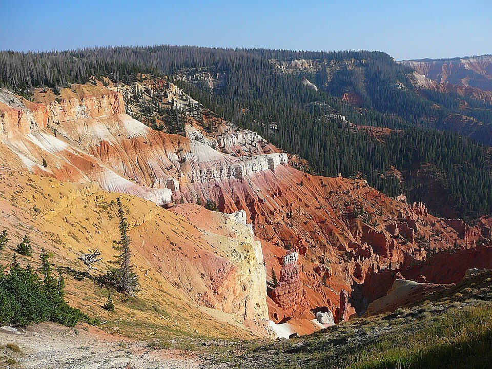 23 mi National MonumentCedar Breaks National Monument718K visitors a year
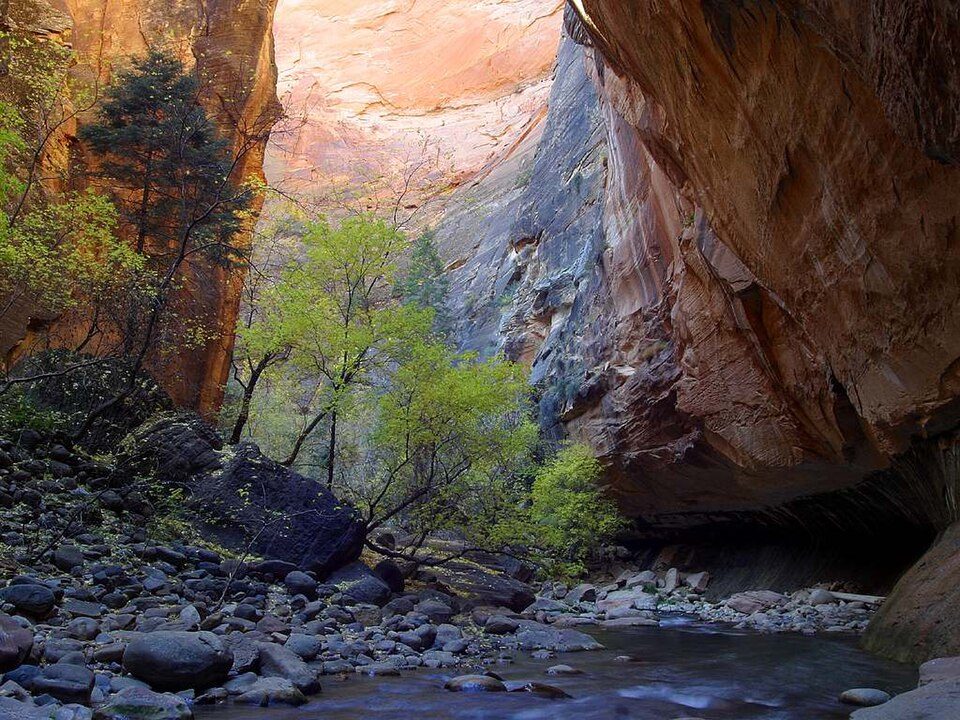 327 mi Canyon & gorgeThe Narrows
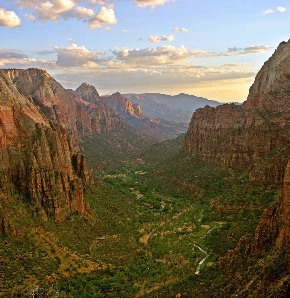 37 mi Canyon & gorgeZion Canyon
 55 mi State parkSnow Canyon State Park
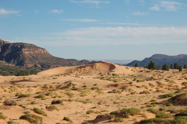 46 mi State parkCoral Pink Sand Dunes State Park
Photo credits
Zion National Park: Diliff, CC BY-SA 3.0 · Bryce Canyon National Park: Luca Galuzzi (Lucag), CC BY-SA 2.5 · Angels Landing: Óðinn, CC BY-SA 2.5 ca · Cedar Breaks National Monument: Original uploader was Averette at en.wikipedia, CC BY 3.0 · The Narrows: Jon Sullivan, Public domain · Zion Canyon: No machine-readable author provided. Antilived assumed (based on copyright claim, CC BY-SA 3.0 · Snow Canyon State Park: Unknown, CC BY 2.5 · Coral Pink Sand Dunes State Park: No machine-readable author provided. RJHall assumed (based on copyright claims)., CC BY-SA 3.0


Questions people have about Brian Head
Is Brian Head Resort in Brian Head?
Yes. It’s inside Brian Head, UT.
What is the closest airport to Brian Head Resort?
Cedar City Regional (CDC), about 14 miles away. The nearest big hub is Harry Reid (LAS), about 169 miles.
Where should I stay near Brian Head Resort?
Brian Head (in town, 17 places to stay), Cedar City (14 mi, 46 places to stay) and Parowan (10 mi, 9 places to stay).
Local tips in Brian Head
Start the conversation in Brian Head’s Town Square.
Sources: National Park Service · ski areas © OpenSkiMap / OpenStreetMap contributors · Wikidata · Wikipedia readership · NOAA climate normals · U.S. Census.