Cedar HighlandsUT
A town, incorporated in 2018.
Is Cedar Highlands a good place to live?
Cedar Highlands’ July high is 83°F, against 92°F in Utah’s towns and 85°F across U.S. towns. Cedar Highlands’ trail density is 1.4 miles per square mile, where Utah’s towns sit at 1.1 and U.S. towns at 0.4. We don’t grade Cedar Highlands yet; the figures below are still real.
100% of working residents leave Cedar Highlands for work
Where Cedar Highlands’s working residents go each day. Line width shows the share.
Census LEHD 2023
Moving to Cedar Highlands: who provides what
Cedar Highlands is unincorporated, so Iron County and regional agencies provide most services.
EPA SDWIS (Oct 9, 2026) · HIFLD + EIA-861 2025 · Census 2020 ZCTAs · NCES 2024–25 · registration: vote.gov, updated Mar 13, 2026.
The data
Ordered by what stands out in Cedar Highlands.
Most of Cedar Highlands’ workers commute out: the town has 0.0 jobs for each of them
The top destinations are Cedar City (43%), St. George (12%) and Kanarraville (6%). Half commute less than 10 miles.
Where working residents work
Census LEHD 2023 · ACS
Snowy winters and pleasant summers in Cedar Highlands
Cedar Highlands has chilly, snowy winters and pleasant summers, with very little rain. July afternoons reach 83°, January nights drop to 20° and about 55 inches of snow falls in a winter.
Typical low → high °F
NOAA U.S. Climate Normals, 1991–2020
A larger share of adults in Cedar Highlands have diabetes than in the typical Utah or U.S. town
13% of adults have diabetes in Cedar Highlands. Only 1 of the 119 Utah towns we compare have a higher share of adults who have high blood pressure than Cedar Highlands. 37% of adults have obesity in Cedar Highlands.
| Cedar Highlands | Utah towns | U.S. towns | |
|---|---|---|---|
| Binge drink (CDC PLACES) | 9% | 11% | 16% |
| Feel lonely (CDC PLACES) | 28% | 33% | 33% |
| Diabetes (CDC PLACES) | 13% | 8.4% | 12% |
| High blood pressure (CDC PLACES) | 37% | 28% | 35% |
| What stands out | Cedar Highlands | UT |
|---|---|---|
| Fewer uninsured adults | 6.6% | 10.5% |
| Fewer binge drinkers | 9% | 12.4% |
| More adults with heart disease | 8.2% | 4.7% |
CDC PLACES 2025 · modeled estimates for adults · CMS · HRSA
Moderate risk in Cedar Highlands, with inland flooding at the top
Expected storm and flood damage is lower than in 58% of U.S. communities.
FEMA National Risk Index · OpenFEMA
Trails & parks © OpenStreetMap contributors · Conserved land: USGS PAD-US
Zion National Park and 8 more within 40 miles
Museums, parks, gardens and other places to visit around Cedar Highlands. Close and well known come first.
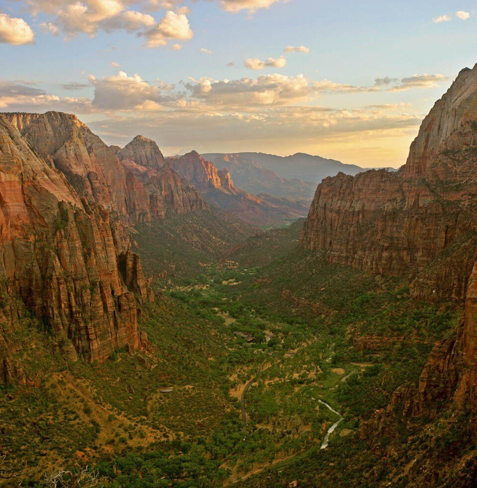 Big draw11 mi National ParkZion National Park5.0M visitors a year
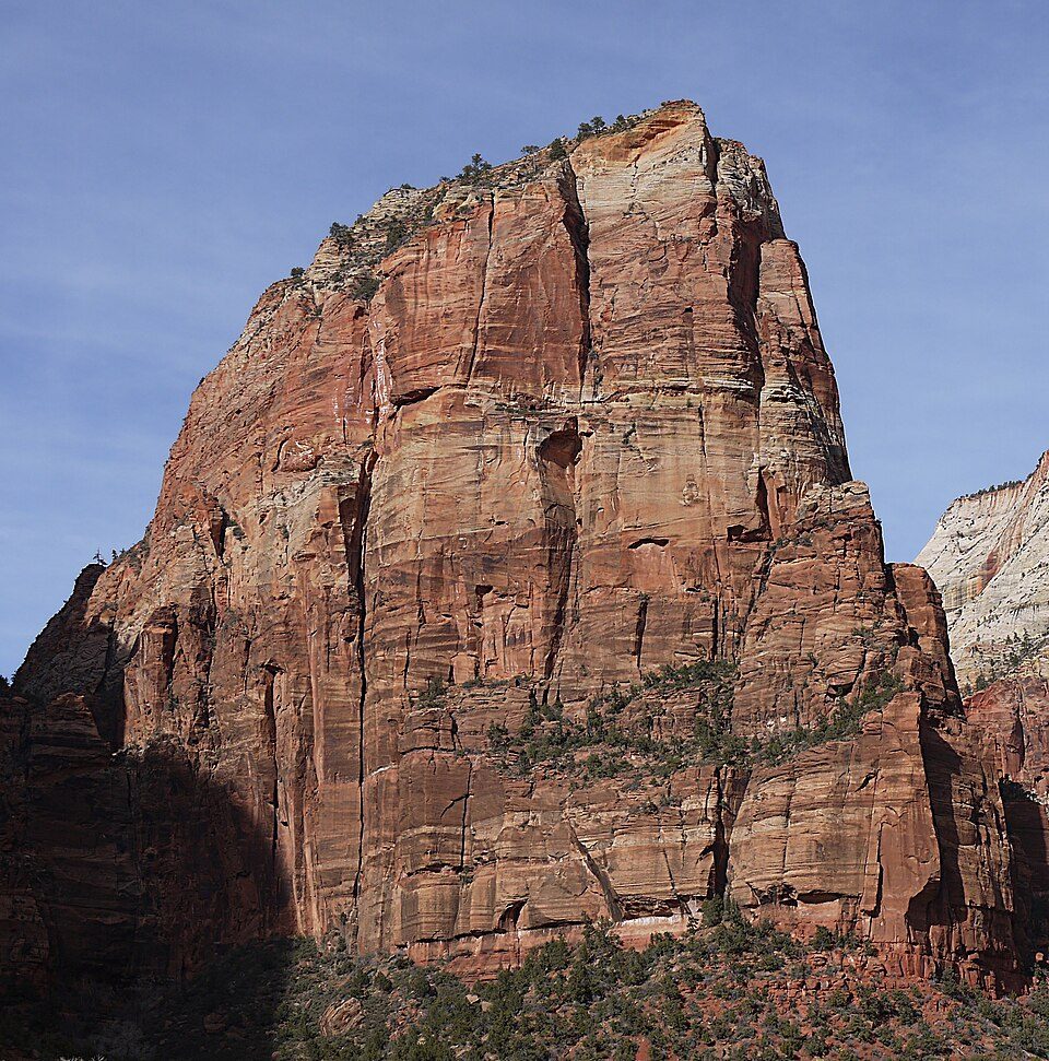 26 mi MountainAngels Landing
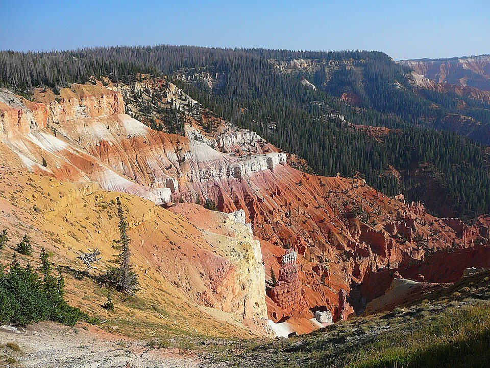 9 mi National MonumentCedar Breaks National Monument718K visitors a year
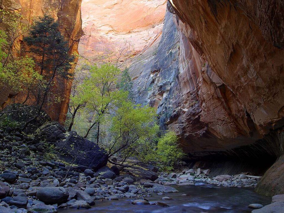 23 mi Canyon & gorgeThe Narrows
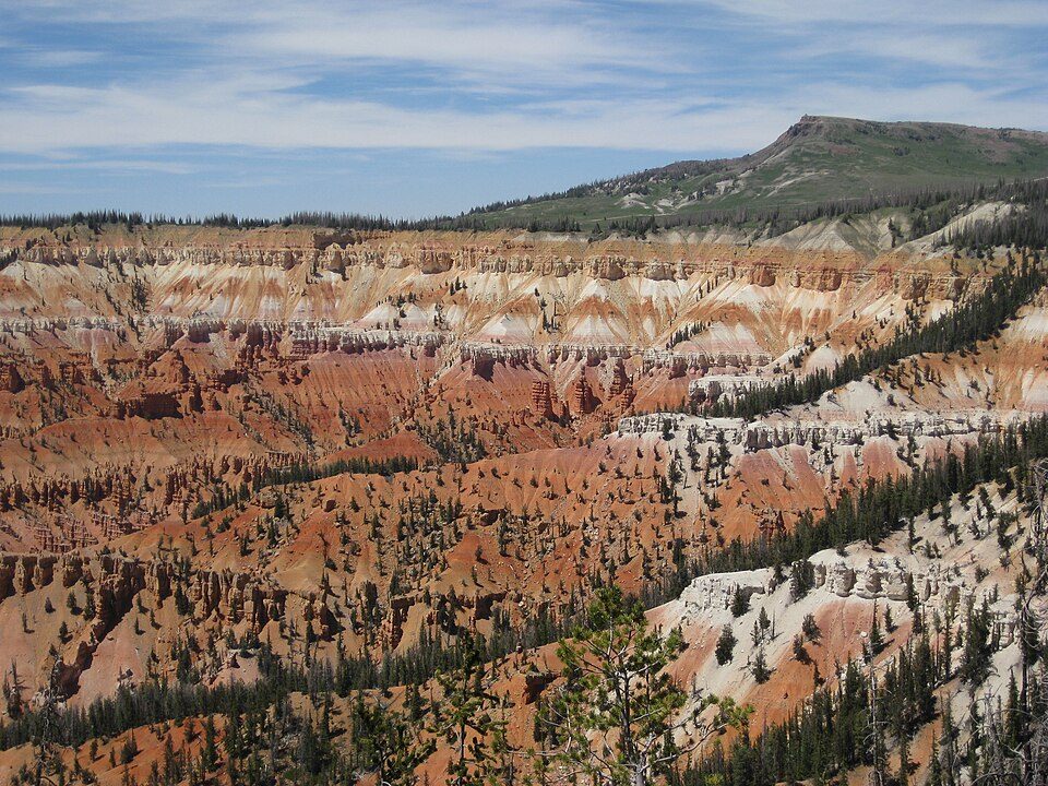 11 mi Ski areaBrian Head Resort69 runs · 1,300 ft vertical
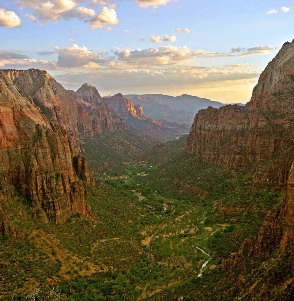 33 mi Canyon & gorgeZion Canyon
Photo credits
Zion National Park: Diliff, CC BY-SA 3.0 · Angels Landing: Óðinn, CC BY-SA 2.5 ca · Cedar Breaks National Monument: Original uploader was Averette at en.wikipedia, CC BY 3.0 · The Narrows: Jon Sullivan, Public domain · Brian Head Resort: brewbooks from near Seattle, USA, CC BY-SA 2.0 · Zion Canyon: No machine-readable author provided. Antilived assumed (based on copyright claim, CC BY-SA 3.0


Everything we know about Cedar Highlands
Colleges nearby
1 within 15 miles of the center of Cedar Highlands
About Cedar Highlands
Unincorporated community in Utah, United States
Cedar Highlands is a subdivision east of Cedar City in Iron County, Utah. It was incorporated as a town in 2018, but this was dissolved in 2020 following a vote of the residents. The population at the 2020 census was 99, significantly down from 368 at the 2010 census.
From Wikipedia, licensed CC BY-SA 4.0 · facts via Wikidata (CC0)
Questions about Cedar Highlands
Short answers, built from the data on this page.
Is Cedar Highlands, UT a good place to live?
We don’t grade Cedar Highlands yet; the figures below are still real. A town, incorporated in 2018.