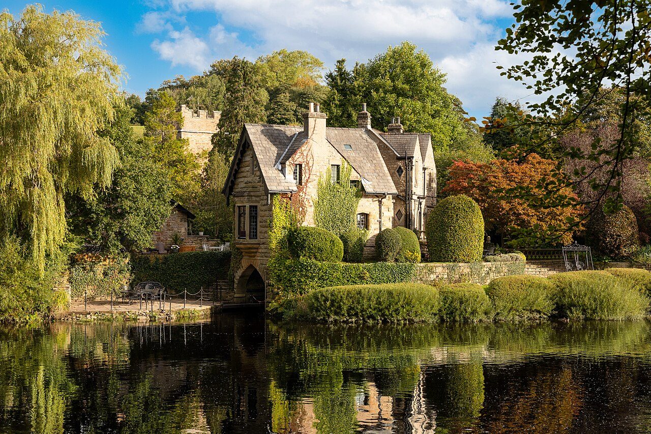
 The Boat House · Photo: BarriePrice100 · CC BY-SA 4.0
Halton has 0.3 jobs for every resident in work, so most commute out
The claimant rate is 1.7% of working-age residents, next to 2.7% in the typical UK town. 743 residents travel out to work and 178 people come in. Set against UK towns, the Jobs & income grade of Halton is B, #14 of 65 in Lancashire.
Work in Halton: the figures worth knowing
Longer journeys to work
Against 45% across England’s towns. 6% of commuters walk to work (11% across England’s towns). Getting to work ↓
Fewer benefit claims than most towns
The typical UK town: 2.7%; England and Wales: 4% so far in 2026. Benefits over time ↓
Written from the data on this page: ONS Census 2021 and BRES, DWP claimant counts via Nomis, and ONS household income.
On jobs and income, Halton grades B
With four measures combined, it comes out better than 64% of UK towns: #14 of 65 in Lancashire.
Its strongest measure is the claimant rate; its weakest, household income.
How the grade works
Each input is ranked against every UK town of 1,000 or more (higher income and job access are better; fewer claimants and less employment deprivation are better), the four ranks are averaged, and the average is ranked again. A town needs three of the four.
One way or another, 14% of Halton’s commuters skip the car
Median journey 7.6 km; typical UK town 8.4 km.
35% of journeys to work are under 5 km (3 miles), against 45% across England’s towns, and 13% are 30 km or more. Halton grades B− for walkability: the share of commuters who walk, cycle or take public transport, against UK towns.
ONS Census 2021, TS061 (method of travel) and TS058 (distance, straight line from home to workplace), output areas summed. Census day fell in the third lockdown, so fewer people travelled than usual.
How residents who travel to work get there, and how far they go (Census 2021, not counting those working mainly at home).
Jobless claims in the Lancaster council area are below England and Wales’ rate
Lancaster’s rate was about 3.1% in 2019, peaked at 5.8% in May 2020 and has averaged 2.9% in 2026, against 4% across England and Wales. Claims everywhere stay higher than before the pandemic, partly because Universal Credit counts more people on low pay as looking for work.
The chart is the whole council area of Lancaster, which Nomis publishes monthly; the figures above the line are for Halton’s built-up area. Claimant count: people claiming Jobseeker’s Allowance, or Universal Credit while required to look for work. Employment deprivation counts people out of work on Jobseeker’s Allowance, Employment and Support Allowance, Incapacity Benefit, Severe Disablement Allowance, Carer’s Allowance or the Universal Credit equivalents (English Indices of Deprivation 2025). The “most deprived tenth” compares areas within England only.
Claimant rate since 2015: people claiming Jobseeker’s Allowance or Universal Credit while looking for work, as a share of residents aged 16 to 64 (DWP, via Nomis).
On a working day, Halton loses more workers than it gains
1,320 residents were in work at the 2021 Census; 754 people worked in Halton.
For every person who comes in to work, about 4 residents travel out. 5% of residents who travel to a workplace stay in the town; in the typical UK town of 2,500+ it’s 14%.
The middle of each bar is the same people: residents who work in the town or from home.
Halton’s commuters work from Lancaster to Heysham
- Lancaster58
- Morecambe24
- Bolton-le-Sands14
- Countryside14
- Heysham13
- Carnforth7
- Kettering4
- Caton4
- Overton3
- Over Kellet3
- Lancaster209
- Countryside109
- Morecambe89
- Heysham63
- Kendal37
- Carnforth29
- Bolton-le-Sands25
- Bailrigg22
- Kirkby Lonsdale15
- Caton13
95% of residents who travel to a workplace work outside Halton; Lancaster takes the most (209). Coming the other way, Lancaster sends the most (58).
The ten places that send the most workers into Halton, and the ten where its residents most often work (Census 2021, by home and workplace). Line width is the number of people.
331 jobs, half in professional, scientific and technical
BRES counts jobs, not people (a part-time job and a second job count once each), so it runs above the Census count of people working here (754). Small areas are shared out to the town by where their Census 2021 workers were based; kinds of work are BRES industry divisions (SIC 2007), rounded. England’s towns: all jobs in its built-up areas.
Jobs at workplaces in Halton (employees and working owners, ONS Business Register and Employment Survey 2024).
Mean household income: £50,434 a year
Higher than 43% of UK towns of 2,500+; the typical town is £52,385. The whole council area of Lancaster averages £43,860.
The town figure is ONS’s neighbourhood (MSOA) estimates shared out by where the town’s residents live.
Total household income before tax, mean, year to March 2023 (ONS small-area estimates).
In Halton, 60% of adults are in work
Compared with England’s towns, 28% are retired (against 21%) and 3% are long-term sick or disabled (against 4%).
ONS Census 2021, tables TS066 (economic activity) and TS063 (occupation), output areas summed to the built-up area. England’s towns: everyone living in its built-up areas.
Everyone 16 and over, by what they were doing the week before the 2021 Census, and the jobs of those in work.
Halton places 307th of 836 on jobs and income among UK towns of 2,000 to 4,000
| # | Town | People | Jobs per worker | Work in own town | Claimants | Income | Grade |
|---|---|---|---|---|---|---|---|
| 1 | Pannal North Yorkshire | 2,530 | 0.8 | 4% | 0.6% | £71K | A+ |
| 2 | Charvil Berkshire | 3,158 | 0.4 | 2% | 1.4% | £83K | A+ |
| 3 | Barnt Green Worcestershire | 3,821 | 0.7 | 4% | 1.2% | £77K | A+ |
| … | |||||||
| 61 | Hutton Lancashire | 2,140 | 0.8 | 6% | 1.4% | £56K | A |
| … | |||||||
| 65 | Parbold Lancashire | 2,409 | 0.6 | 8% | 0.7% | £58K | A |
| … | |||||||
| 75 | Read Lancashire | 2,049 | 1.7 | 4% | 1.2% | £59K | A |
| … | |||||||
| 305 | Alderholt Dorset | 2,868 | 0.2 | 6% | 1.8% | £61K | B |
| 306 | Bawtry South Yorkshire | 3,408 | 0.9 | 9% | 2% | £59K | B |
| 307 | Halton Lancashire | 2,652 | 0.3 | 5% | 1.7% | £50K | B |
| 308 | Carlton North Yorkshire | 2,040 | 0.3 | 6% | 0.9% | £53K | B |
| 309 | Usk Gwent | 2,310 | 0.9 | 13% | 1.7% | £51K | B |
| … | |||||||
| 836 | Maerdy Mid Glamorgan | 2,843 | 0.4 | 11% | 5.7% | £38K | D− |
Jobs & income letters rank against every UK town of 1,000 or more; the order here is context only.
Ordered by Jobs & income Grade: the top three, the towns either side of Halton, and others in Lancashire.
Work next door to Halton
| Town | People | Jobs | Work in own town | Claimants | Grade |
|---|---|---|---|---|---|
| Halton | 2,652 | 331 | 5% | 1.7% | B |
| Caton | 2,552 | 751 | 6% | 1.8% | B− |
| Bolton-le-Sands | 6,728 | 1,328 | 7% | 1.1% | B+ |
| Lancaster | 52,646 | 24,010 | 46% | 2.9% | C+ |
| Carnforth | 5,852 | 2,485 | 19% | 2.5% | C |
| Morecambe | 32,745 | 12,781 | 36% | 4.8% | D |
| Warton (Lancaster) | 1,801 | 600 | 4% | 1.9% | C+ |
| Bailrigg | 4,788 | 4,955 | 10% | 0.2% | A |
Jobs based in each place, commuters who stay in their own town, and the claimant rate.
What this data can and can’t tell you
- The Census was taken in lockdown. Census day was 21 March 2021, during the third national lockdown: many people were furloughed or working from home, so fewer travelled to work, and journeys were shorter, than before the pandemic or since. The flows on this page show where people worked that spring.
- At home and no fixed place are one figure. In the workplace flows, ONS puts people who mainly worked at home and people with no fixed workplace (drivers, builders, care workers on rounds) at their home address, so the two can’t be told apart there.
- Towns are built-up areas. Halton here is ONS’s built-up area: the town as built, not its council district. A workplace on an estate or farm outside every built-up area counts as “outside any built-up area”.
- Jobs are counted where they are. BRES counts jobs at each workplace (employees and working owners, rounded by ONS), so a town with a hospital, university or big employer can have more jobs than working residents. Small areas are shared out to towns by where their Census workers were based.
- The benefits chart is the council area. Nomis publishes the claimant count monthly for councils back to 2013, so the line is Lancaster as a whole; the claimant rate elsewhere on this page is Halton’s built-up area, from small areas.
Questions about work in Halton
Where do people in Halton work?
At the 2021 Census, 5% of Halton’s residents who travelled to work worked in the town itself; the most common other places were Lancaster (209), Morecambe (89) and Heysham (63). 41% of working residents worked mainly at home or had no fixed workplace; the Census was taken in lockdown, so home working was unusually high.
How many people commute into Halton?
178 people who lived elsewhere worked in Halton at the 2021 Census, 24% of its 754 workers. The most came from Lancaster (58), Morecambe (24) and Bolton-le-Sands (14). 743 residents travelled out the other way.
How many jobs are there in Halton?
About 330 jobs (employees and working owners) were based in Halton in 2024, on ONS’s Business Register and Employment Survey: 0.3 for every resident in work, against 0.7 in the typical UK town. The biggest kinds of work are legal and accounting (about 340), education (about 90) and building construction (about 40).
Is Halton a good place to find work?
Halton earns a B for jobs and income, better than 64% of UK towns on household income, the claimant rate, employment deprivation and access to jobs together. Mean household income £50,434; 1.7% of 16 to 64s claim unemployment benefits.
How do people in Halton get to work?
85% of commuters go by car or van, 6% walk, 3% cycle and 4% take the bus or train; 35% travel under 5 km. Census 2021, taken during lockdown.
What is the average household income in Halton?
Mean household income before tax was £50,434 in the year to March 2023 (ONS), against £52,385 in the typical UK town.
Sources: ONS Census 2021 origin-destination data, place of work (ODWP01EW), output areas summed to the ONS 2022 built-up area · ONS Census 2021 tables TS058 (distance), TS061 (method of travel), TS063 (occupation) and TS066 (economic activity) · ONS Business Register and Employment Survey via Nomis (open access), by industry division · ONS small-area income estimates (financial year ending 2023); House of Commons Library MSOA names · DWP claimant count via Nomis (towns January to August 2026; councils, regions and England and Wales monthly since January 2015) · MHCLG English Indices of Deprivation 2025 · DfT Transport Connectivity Metric (employment) · TownRatings grades: our own summary of the data, ranked against UK towns only. All under the Open Government Licence v3.0.
Contains public sector information licensed under the Open Government Licence v3.0. Contains HM Land Registry data © Crown copyright and database right 2026. Contains OS data © Crown copyright and database right 2026 (ONS boundaries). Northern Ireland: Source: NISRA; contains Land & Property Services data and Ordnance Survey of Northern Ireland information, © Crown copyright, licensed under the Open Government Licence v3.0. Scotland: contains National Records of Scotland data, Registers of Scotland data and SEPA data, © Crown copyright / © SEPA 2025, licensed under the Open Government Licence v3.0.