England
6,439 towns and villages in 47 counties. 1,917 have an overall grade against towns across the UK, and Bar Hill ranks first. Pick a county on the map or below.
The best-graded towns in England
The highest overall grades among England’s towns of 2,500 or more, graded against towns across the UK.
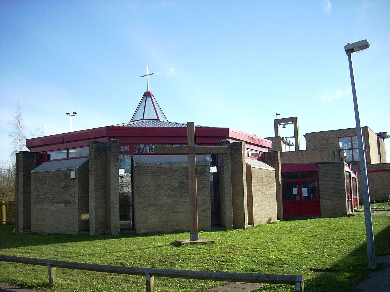 #1 in EnglandBar HillCambridgeshire · 3,899 peopleA+Overall#1 of 50 in CambridgeshireA+HealthA+Jobs & income
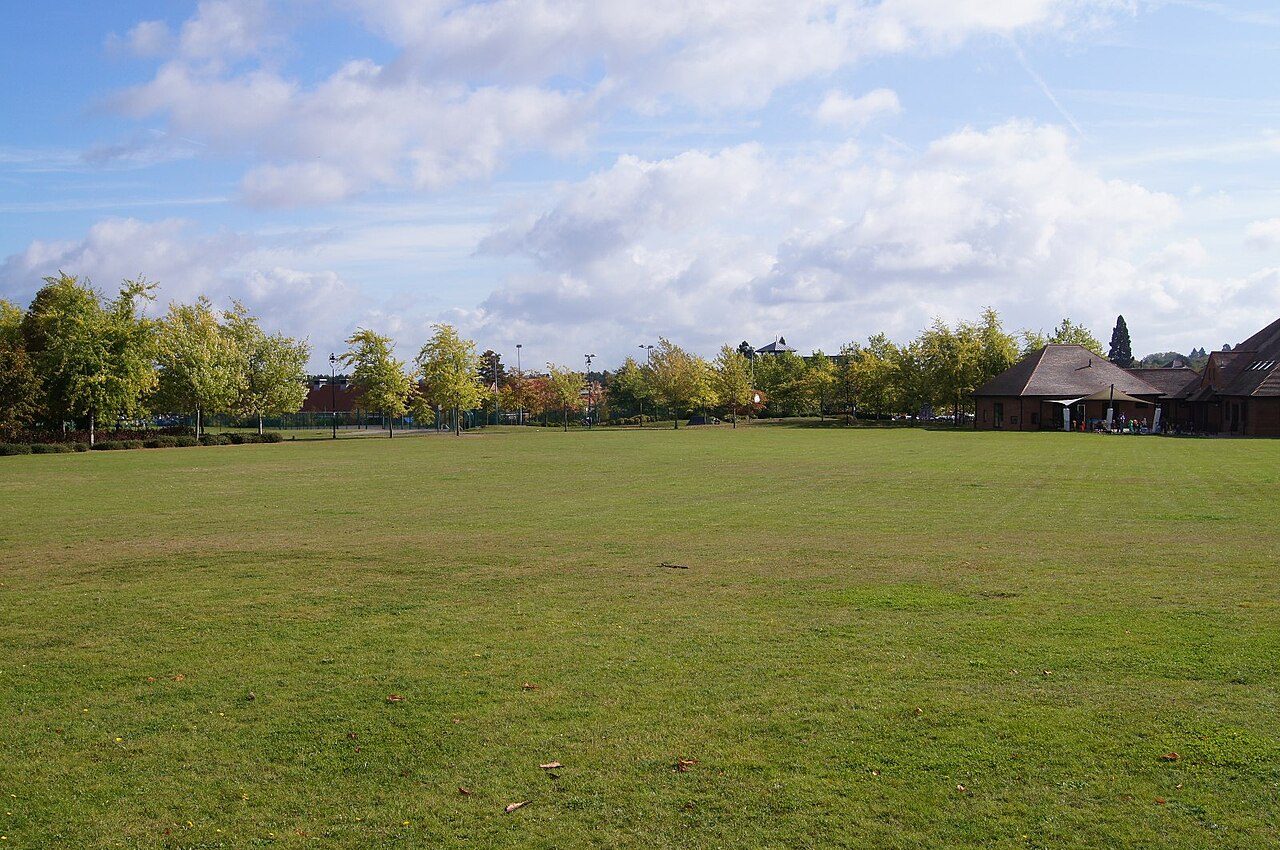 #2 in EnglandElvetham HeathHampshire · 4,916 peopleA+Overall#1 of 76 in HampshireA+HealthA+Jobs & income
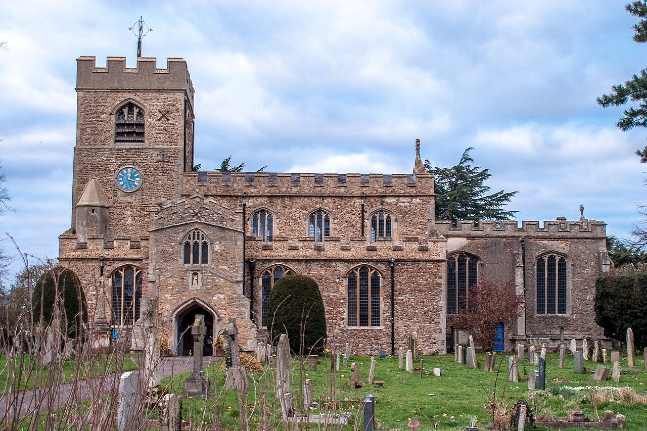 #3 in EnglandGirtonCambridgeshire · 4,384 peopleA+Overall#2 of 50 in CambridgeshireA+Jobs & incomeA+Health
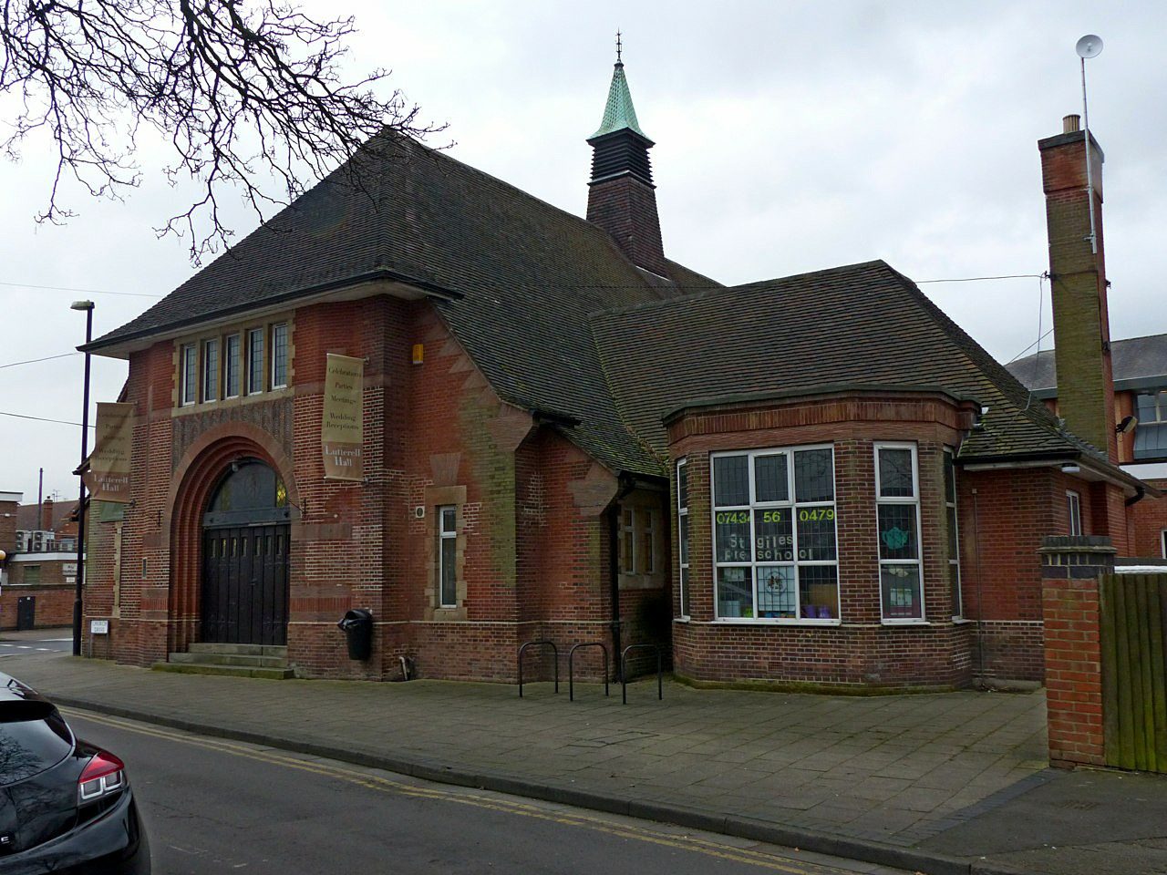 #4 in EnglandWest BridgfordNottinghamshire · 36,489 peopleA+Overall#1 of 49 in NottinghamshireA+SchoolsA+Jobs & income
 #5 in EnglandKeyworthNottinghamshire · 6,822 peopleA+Overall#2 of 49 in NottinghamshireACost of livingAHealth
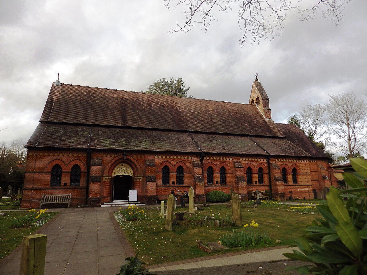 #6 in EnglandFleetHampshire · 37,800 peopleA+Overall#2 of 76 in HampshireA+HealthA+Jobs & income
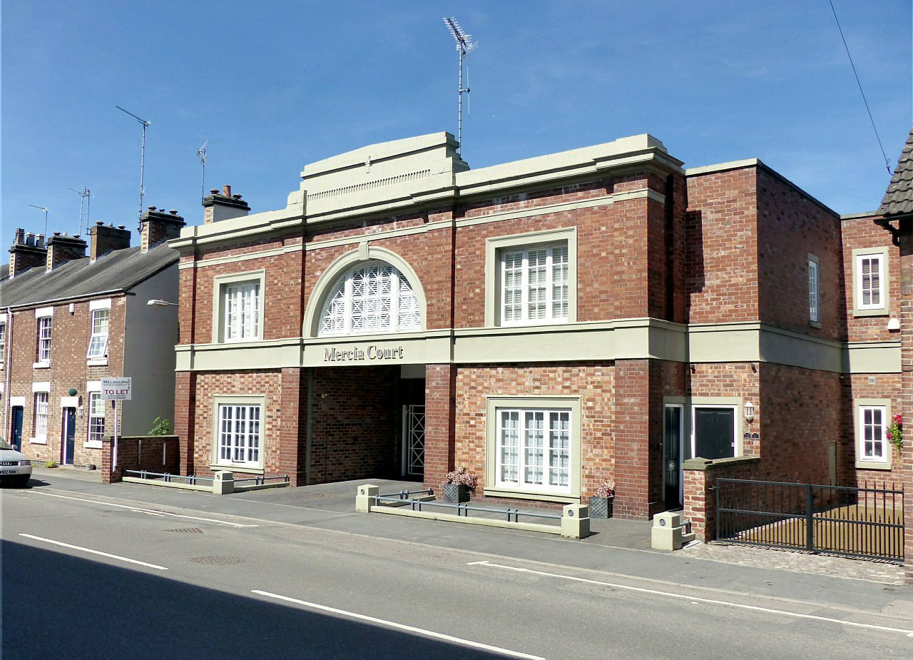 #7 in EnglandReptonDerbyshire · 2,766 peopleA+Overall#1 of 59 in DerbyshireAJobs & incomeAHealth
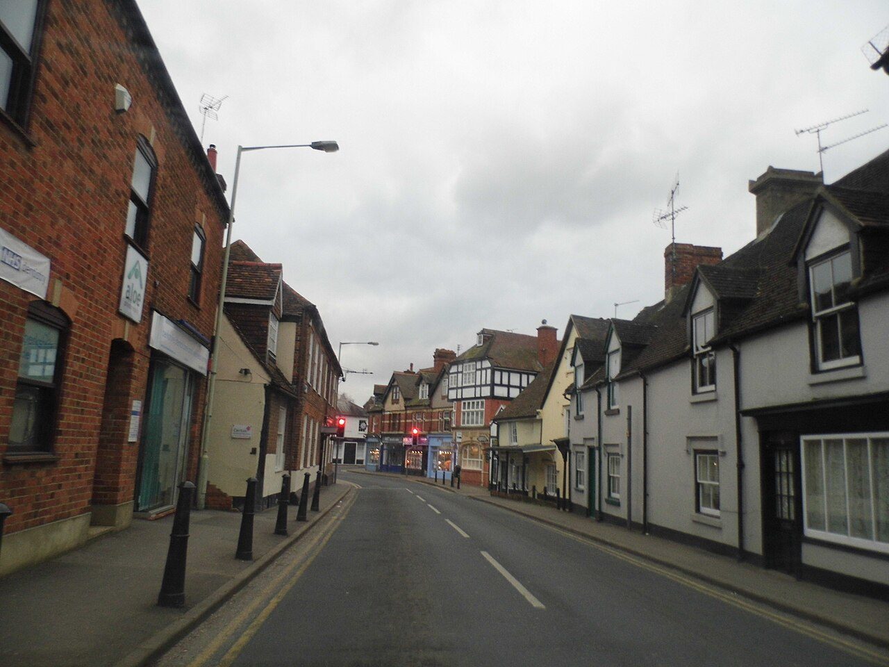 #8 in EnglandTwyfordBerkshire · 8,072 peopleA+Overall#1 of 30 in BerkshireA+Jobs & incomeA+Health
The most affordable towns of 5,000+
Graded on house prices, rents and council tax against what households there earn.
 Most affordableSwadlincoteDerbyshire · 34,569 peopleA+Cost of livingTypical home £217K
 Most affordableWoodvilleDerbyshire · 7,255 peopleA+Cost of livingTypical home £210K
 Most affordableOverseal and Castle GresleyDerbyshire · 5,055 peopleA+Cost of livingTypical home £226K
 Most affordableCotgraveNottinghamshire · 7,794 peopleA+Cost of livingTypical home £240K
All 47 counties
Explore every town in a county.
What England towns are graded on
Every subject compares a town with towns across the UK, from public data. Where England publishes its figures differently, a subject waits until they line up.
Photos: Bar Hill, Cruccone (CC BY 3.0) · Elvetham Heath, Mr Ignavy (CC BY-SA 2.0) · Girton, Ben Wilkinson (CC BY 3.0) · West Bridgford, Alan Murray-Rust (CC BY-SA 2.0) · Keyworth, Richard Vince (CC BY-SA 2.0) · Fleet, Stuart Shepherd (CC BY-SA 2.0) · Repton, Alan Murray-Rust (CC BY-SA 2.0) · Twyford, David Howard (CC BY-SA 2.0) · Swadlincote, Colin Park (CC BY-SA 2.0) · Woodville, Mark Walton (CC BY-SA 2.0) · Overseal and Castle Gresley, Ian Calderwood (CC BY-SA 2.0) · Cotgrave, Yellowman94 (CC BY-SA 3.0), via Wikimedia Commons.
Sources: TownRatings grades: our own summary of the data, ranked against UK towns only · ONS Census 2021, output areas summed to the ONS 2022 built-up area · HM Land Registry Price Paid (standard sales, September 2023 to August 2026). All under the Open Government Licence v3.0.
Contains public sector information licensed under the Open Government Licence v3.0. Contains HM Land Registry data © Crown copyright and database right 2026. Contains OS data © Crown copyright and database right 2026 (ONS boundaries). Northern Ireland: Source: NISRA; contains Land & Property Services data and Ordnance Survey of Northern Ireland information, © Crown copyright, licensed under the Open Government Licence v3.0. Scotland: contains National Records of Scotland data, Registers of Scotland data and SEPA data, © Crown copyright / © SEPA 2025, licensed under the Open Government Licence v3.0.