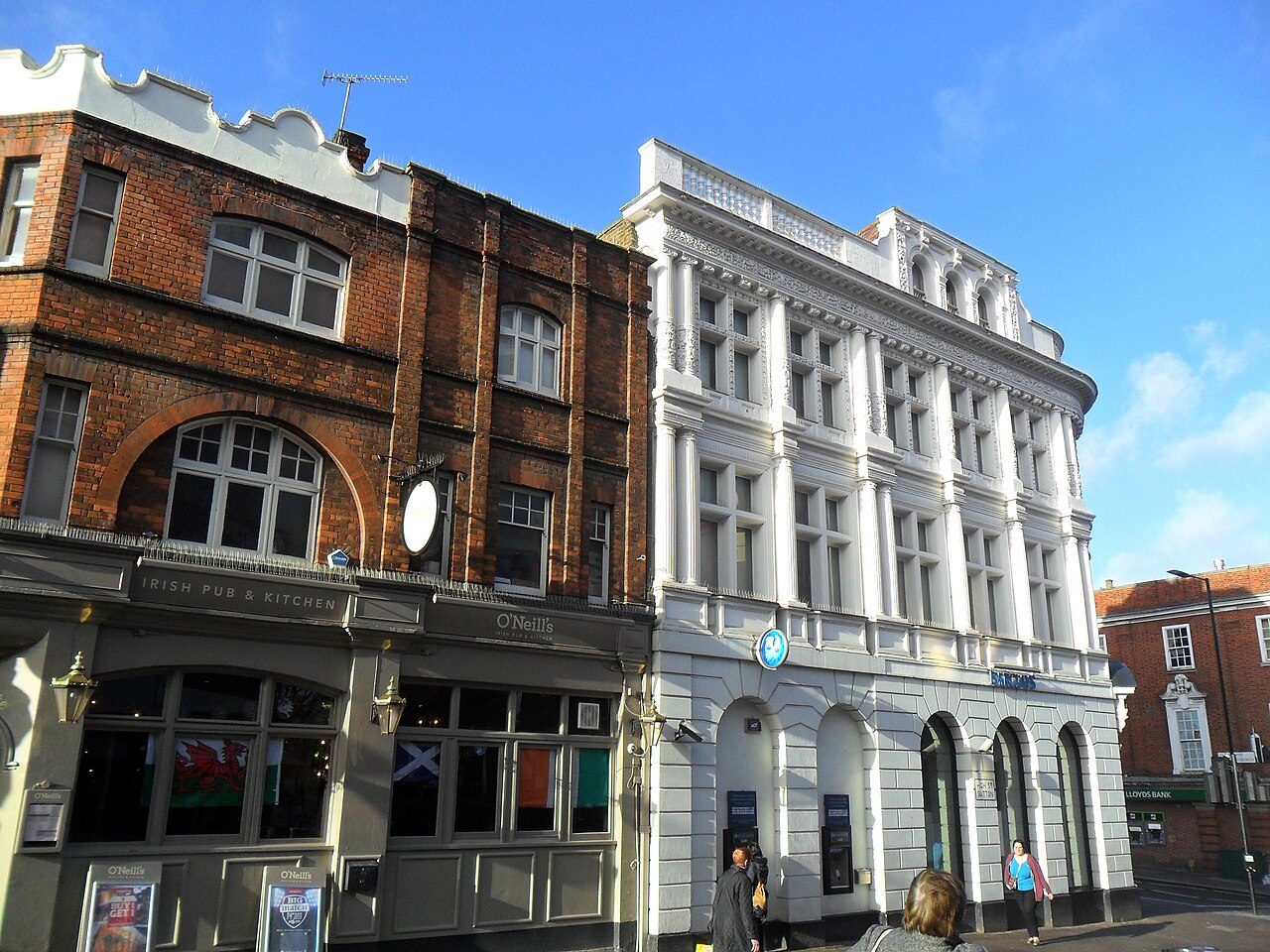
Sutton grades A overall against UK towns: better than 92% of UK towns, and #2 of 33 in London. Its strongest subject is walkability (A+): 38% of commuters walk, cycle or take public transport. Its weakest is safety (C): 27.1 violent and sexual offences and 14.6 home and vehicle crimes per 1,000 residents a year, averaged Sep 2023 to Aug 2026. Among UK towns and cities of 50,000 or more, it has less crime per resident than 91%. The median home sold for £455,000 in the last three years, 5.5 times what households in the Sutton council area earn in a year.
Each subject compared with the 2,160 UK towns with an overall grade (schools within England), ordered by how far Sutton is from typical. American towns are graded separately.
HM Land Registry Price Paid · ONS private rents · MHCLG / Welsh Government council tax · ONS Census 2021 tenure · OGL
Safety
Sutton records 14.6 burglaries and acts of damage per 1,000 residents a year, against 21.2 in London’s towns and 9.4 in England’s towns
Town centres with shops, stations and nightlife record more crime per resident: police.uk counts crimes where they happen, not where victims live.
Police recorded 13,464 crimes inside Sutton’s built-up area in the 12 months to August 2026, plus 3,250 reports of anti-social behaviour. Violence came to 27.1 per 1,000 residents a year, below London’s towns (36.1) but above England’s towns (22). Violence and sexual offences were 41% of the crimes; the police category includes harassment and stalking.
27.1violent and sexual offences per 1,000 a yearCSafety Grade
Compared with UK towns its sizeLess crime per resident than 91% of the 207 UK towns and cities of 50,000 or more: less crime than most for its size. Context only, not part of the grade.
More crimeLess crime
Reports by type · Sep 2025 to Aug 2026
Violence & sexual5,538
Shoplifting1,515
Vehicle crime1,265
Public order1,213
Other theft946
Burglary714
Drugs626
Damage & arson625
Anti-social3,250
Not gradedAnti-social behaviour, shoplifting and other theft are shown but left out of the Safety Grade, which counts violence and crimes against homes and vehicles per resident.
27.1
violent and sexual offences per 1,000 residents a year, averaged Sep 2023 to Aug 2026
14.6
burglary, vehicle crime and damage per 1,000 a year, averaged Sep 2023 to Aug 2026
15.1
anti-social behaviour reports per 1,000 (not graded)
data.police.uk street-level crime · points inside the ONS built-up-area boundary · OGL
Health
85% of residents say their health is good or very good
85% of Sutton’s residents described their health as good or very good in 2021, against 85% across London’s towns. These answers aren’t adjusted for age, so young towns look healthier; the Health Grade uses age-adjusted measures, including life expectancy and early deaths.
ONS Census 2021, general health and disability · OHID Fingertips, life expectancy 2019–23 · OGL
History
Much of Sutton is a conservation area: 98% of its land, more than London’s towns or England’s towns
The heritage lists give each building’s grade but not its age, so we don’t say which is oldest.
That puts Sutton above both London’s towns (24%) and England’s towns (7%). Homes from before 1919 make up 13% of the total. Sutton’s listed buildings include Beddington Place (Great Hall Only), Grade I.
Historic England list, October 2026 · Valuation Office Agency, homes by build period · OGL
Who lives here
Children make up 20% of Sutton, above London’s towns and England’s towns
On this, Sutton is above both London’s towns (18%) and England’s towns (18%). Young adults of 15 to 24 are 10% of the population. The median resident of Sutton is 39.4 years old.
39.4median age
SuttonLondonEngland
Ages · share of residents
10%
Under 1515–2425–4445–6465+
Qualifications · residents 16 and older
No qualifications15%
Apprenticeship4%
A levels or similar16%
Degree level40%
Women and men · all residents
51% women, 49% men
WomenEnglandMen
About 95 men for every 100 women. Across England, 51% of residents are women.
Jeff Beck: Mandy Hall, CC BY 2.0 · James Hunt: Uploader's father, digitized and altered by Mr.choppers, CC BY-SA 3.0 · Paul Greengrass: PS2pcGAMER, CC BY-SA 3.0 · Jack Cork: @cfcunofficial (Chelsea Debs) London, CC BY-SA 2.0 · Quentin Crisp: Ross B. Lewis, CC BY-SA 4.0 · Tony Barton: stavros1, CC BY 3.0
Among the strongest in England: GCSE results beat 97% of towns in England, and primary results beat 94% (Department for Education, Attainment 8 and Key Stage 2).
Is Sutton safe?
Against all UK towns, most of them far smaller, it grades C.
Is Sutton expensive to live in?
Homes cost more than in most UK towns: the median sale over three years was £455,000, against £277,000 in the typical UK town. By type: flats £290,000, terraced houses £480,000, semi-detached houses £614,000 and detached houses £865,000. Household incomes are higher than in 99% of UK towns, so cost of living still grades A−.
About Sutton
London borough in London
Sutton is a built-up area of 208,858 people, in the Sutton council area. TownRatings uses ONS’s 2022 built-up areas as towns: the physical town, as people mean the word, rather than a council district, so its figures cover the town itself.
Built from ONS geography and Census 2021
Population
208,858 (Census 2021)
Council
Sutton (mostly)
City
London
Region
London
Area
14.1 sq mi (36.5 km²)
ONS code
E63005250
Sources: ONS Census 2021, output areas summed to the ONS 2022 built-up area · HM Land Registry Price Paid (standard sales, September 2023 to August 2026) · ONS Price Index of Private Rents (August 2026, by council) · MHCLG and Welsh Government council tax, Band D 2026–27 (with parish precepts in England) · data.police.uk street-level crime, 36 months to August 2026, points inside the built-up-area boundary · ONS small-area life expectancy and healthy life expectancy, 2019 to 2023 (England and Wales), OHID Fingertips small-area indicators (England) and Census 2021 health, adjusted for age · ONS small-area income estimates (financial year ending 2023) · DWP claimant count via Nomis (January to August 2026) · Historic England, National Heritage List for England (listed buildings, scheduled monuments, registered parks and gardens, battlefields, World Heritage Sites), October 2026, inside the ONS 2022 built-up-area boundary · Valuation Office Agency, Council Tax: stock of properties by build period (31 March 2025) · TownRatings grades: our own summary of the data, ranked against UK towns only. All under the Open Government Licence v3.0.