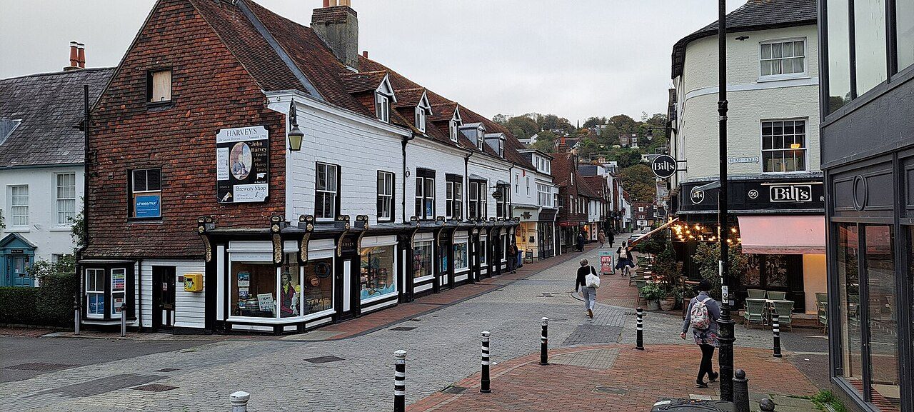
Home › UK › East Sussex England · County Find your town in East Sussex East Sussex has 26 towns of 2,500 or more and 79 villages and smaller places. Towns are graded against towns across England, Scotland, Wales and Northern Ireland on cost of living, safety, schools, health and more.
26 graded towns
1 grade A− or better
79 villages and smaller places
Brighton and Hove largest · 277,096
How East Sussex compares: its report card → East Sussex at a glance What East Sussex is like The typical East Sussex town grades highest on walkability and outdoors against towns across England, Scotland, Wales and Northern Ireland, and lowest on cost of living. Choose a subject to find the towns that do best on it.
The typical town, subject by subject The median East Sussex town against UK towns · the line marks the typical UK town
Walkability B+ ahead of 74% Outdoors B+ ahead of 69% Health B ahead of 59% Safety B− ahead of 51% Hazard risk C+ ahead of 44% Jobs & income C+ ahead of 43% Schools C− ahead of 22% Cost of living D ahead of 5% The finder
Find a town that’s… 26 towns · ordered by East Sussex rank
#1 in East Sussex A− Town · 7,663 people · #389 of 2,138 nationally
Strongest A Hazard riskA− SchoolsLowest C Cost of living
#2 in East Sussex B+ Large town · 21,990 people · #540 of 2,138 nationally
Strongest A HealthA Hazard riskLowest D Cost of living
#3 in East Sussex B+ Town · 3,408 people · #553 of 2,138 nationally
Strongest A+ HealthA Hazard riskLowest D Cost of living
#4 in East Sussex B+ Town · 2,689 people · #702 of 2,138 nationally
Strongest A+ SafetyA+ HealthLowest D− Cost of living
#5 in East Sussex B Town · 15,037 people · #846 of 2,138 nationally
Strongest B+ WalkabilityB+ SchoolsLowest D Cost of living
#6 in East Sussex B Town · 3,221 people · #919 of 2,138 nationally
Strongest A Hazard riskA− HealthLowest D− Cost of living
#7 in East Sussex B Town · 2,892 people · #947 of 2,138 nationally
Strongest A SafetyA Hazard riskLowest D− Cost of living
#8 in East Sussex B− Town · 6,126 people · #1,054 of 2,138 nationally
Strongest A− HealthA− SafetyLowest C− Cost of living
#9 in East Sussex B− Town · 5,326 people · #1,140 of 2,138 nationally
Strongest B+ SchoolsB+ WalkabilityLowest D− Cost of living
#10 in East Sussex B− Large town · 23,865 people · #1,145 of 2,138 nationally
Strongest A WalkabilityB+ SafetyLowest D− Cost of living
#11 in East Sussex C+ Town · 3,881 people · #1,279 of 2,138 nationally
Strongest A+ HealthA WalkabilityLowest D− Schools
#12 in East Sussex C+ Town · 3,056 people · #1,349 of 2,138 nationally
Strongest A SafetyB WalkabilityLowest D− Hazard risk
#13 in East Sussex C+ Town · 16,066 people · #1,371 of 2,138 nationally
Strongest A+ WalkabilityB SchoolsLowest D− Cost of living
#14 in East Sussex C Town · 4,237 people · #1,447 of 2,138 nationally
Strongest A Hazard riskA− WalkabilityLowest D Cost of living
#15 in East Sussex C Town · 2,890 people · #1,487 of 2,138 nationally
Strongest A− SafetyB− HealthLowest D Hazard risk
#16 in East Sussex C Town · 10,067 people · #1,511 of 2,138 nationally
Strongest B+ WalkabilityB SafetyLowest D Schools
#17 in East Sussex C Town · 5,036 people · #1,536 of 2,138 nationally
Strongest A Hazard riskB HealthLowest D Walkability
#18 in East Sussex C− City · 277,096 people · #1,606 of 2,138 nationally
Strongest A+ WalkabilityB SchoolsLowest D− Cost of living
#19 in East Sussex C− Large town · 43,750 people · #1,681 of 2,138 nationally
Strongest A− SchoolsA− WalkabilityLowest D− Cost of living
#20 in East Sussex D Large town · 22,560 people · #1,825 of 2,138 nationally
Strongest B Hazard riskB− WalkabilityLowest D Schools
#21 in East Sussex D Town · 15,705 people · #1,919 of 2,138 nationally
Strongest A WalkabilityA Hazard riskLowest D Cost of living
#22 in East Sussex D Town · 12,857 people · #1,988 of 2,138 nationally
Strongest A WalkabilityC+ SchoolsLowest D Safety
#23 in East Sussex D Large town · 91,497 people · #2,018 of 2,138 nationally
Strongest A WalkabilityB+ SchoolsLowest D− Cost of living
#24 in East Sussex D− Large town · 99,171 people · #2,058 of 2,138 nationally
Strongest A WalkabilityB− Hazard riskLowest D− Cost of living
#25 in East Sussex D− Town · 2,616 people · #2,065 of 2,138 nationally
Strongest B+ HealthC+ Hazard riskLowest D Safety
#26 in East Sussex D− Town · 4,888 people · #2,115 of 2,138 nationally
Strongest A WalkabilityB− HealthLowest D− Cost of living
Show all 26 towns Dots: each town’s overall grade, sized by population. Labels: the top five.
Go deeper East Sussex lists Every list ranks the same 2,500+ towns, so a town’s rank means the same thing on each.
All East Sussex rankings → Villages and small towns 79 smaller places in East Sussex Places of 1,000 to 2,500 people have subject grades on their pages, but no overall grade or rank. The search at the top finds these too.
Mayfield2,253 Northiam1,910 Westham1,861 Horam1,797 Buxted1,616 East Dean and Friston1,602 Fairlight1,561 Ticehurst1,464 Robertsbridge1,439 Maresfield1,369 Burwash1,335 Ninfield1,296 Westfield1,271 Herstmonceux1,221 Rotherfield1,219 Nutley1,218 Hurst Green1,181 Camber1,132 Ditchling1,123 Broad Oak (Wealden)1,097 Groombridge1,077 Five Ash Down1,060 Plumpton Green1,060 Winchelsea Beach1,027 Wivelsfield Green1,012 North Chailey1,008 53 places under 1,000 people Photos: 0: Oast House Archive · CC BY-SA 2.0 · 1: John Salmon · CC BY-SA 2.0 · 2: Julian P Guffogg · CC BY-SA 2.0 · 3: Antiquary · CC BY 4.0 · 6: Paul Gillett · CC BY-SA 2.0 · 8: Mat Fascione · CC BY-SA 2.0 · 9: Gerald England · CC BY-SA 2.0 · 10: Malc McDonald · CC BY-SA 2.0 · 11: Ian Capper · CC BY-SA 2.0 · 12: Christopher Hilton · CC BY-SA 2.0 · 14: The Voice of Hassocks · Public domain · 15: Stacey Harris · CC BY-SA 2.0 · 16: Kevin Gordon · CC BY-SA 2.0 · 17: Hassocks5489 · CC0 · 18: Alexis Markwick · CC0 · 19: Charlesdrakew · Public domain · 20: MortimerCat · CC BY-SA 3.0 · 24: Andrew Hill · CC BY-SA 2.0
Sources: TownRatings grades: our own summary of the data, ranked against UK towns only · ONS Census 2021, output areas summed to the ONS 2022 built-up area. All under the Open Government Licence v3.0.
Contains public sector information licensed under the Open Government Licence v3.0. Contains HM Land Registry data © Crown copyright and database right 2026. Contains OS data © Crown copyright and database right 2026 (ONS boundaries). Northern Ireland: Source: NISRA; contains Land & Property Services data and Ordnance Survey of Northern Ireland information, © Crown copyright, licensed under the Open Government Licence v3.0. Scotland: contains National Records of Scotland data, Registers of Scotland data and SEPA data, © Crown copyright / © SEPA 2025, licensed under the Open Government Licence v3.0.