
Old Still Cave, 2013
Sherwood’s story
148 years in pictures
The archive holds 6 old photos and papers going back to 2013 and 4 maps from 1936 on.
- 1878Sherwood is settled
Each edition grades its towns against each other only.

This town of 43 people was settled in 1878.
100% of households own their home in Sherwood, above both Tennessee’s towns (66%) and U.S. towns (73%). Sherwood has fewer than 1,000 residents, too few for fair grades; the figures below are still real.
The archive holds 6 old photos and papers going back to 2013 and 4 maps from 1936 on.
In a town this size, neighbors are the best guide. Ask them anything.
Ordered by what stands out in Sherwood.
FEMA expects less storm and flood damage in Sherwood than in 68% of U.S. communities. Expected losses in Sherwood break down as 34% from inland flooding and 26% from cold waves.
FEMA National Risk Index · OpenFEMA
Expect July afternoons of 87° and January nights of 30°, with about 4 inches of snow a winter.
NOAA U.S. Climate Normals, 1991–2020
Values rose 5.6% in the 12 months to September 2026.
Zillow Home Value Index · Redfin Data Center
Sherwood does better than the Tennessee average on 14 of 31 CDC measures and worse on 7. In Sherwood, 7.1% of adults 18 to 64 have no health insurance. Only 8 of the 177 Tennessee towns we compare have a lower share of adults who binge drink than Sherwood.
| Sherwood | Tennessee towns | U.S. towns | |
|---|---|---|---|
| High blood pressure (CDC PLACES) | 49% | 41% | 35% |
| Binge drink (CDC PLACES) | 11% | 14% | 16% |
| Yearly checkup (CDC PLACES) | 84% | 78% | 79% |
| Diabetes (CDC PLACES) | 17% | 14% | 12% |
| What stands out | Sherwood | TN |
|---|---|---|
| Fewer adults facing housing insecurity | 7.5% | 13.3% |
| Fewer adults facing food insecurity | 9.5% | 16.2% |
| More adults who have had cancer | 14% | 8.2% |
CDC PLACES 2025 · modeled estimates for adults · CMS · HRSA
Museums, parks, gardens and other places to visit around Sherwood. Close and well known come first.
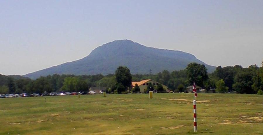 34 mi MountainLookout Mountain
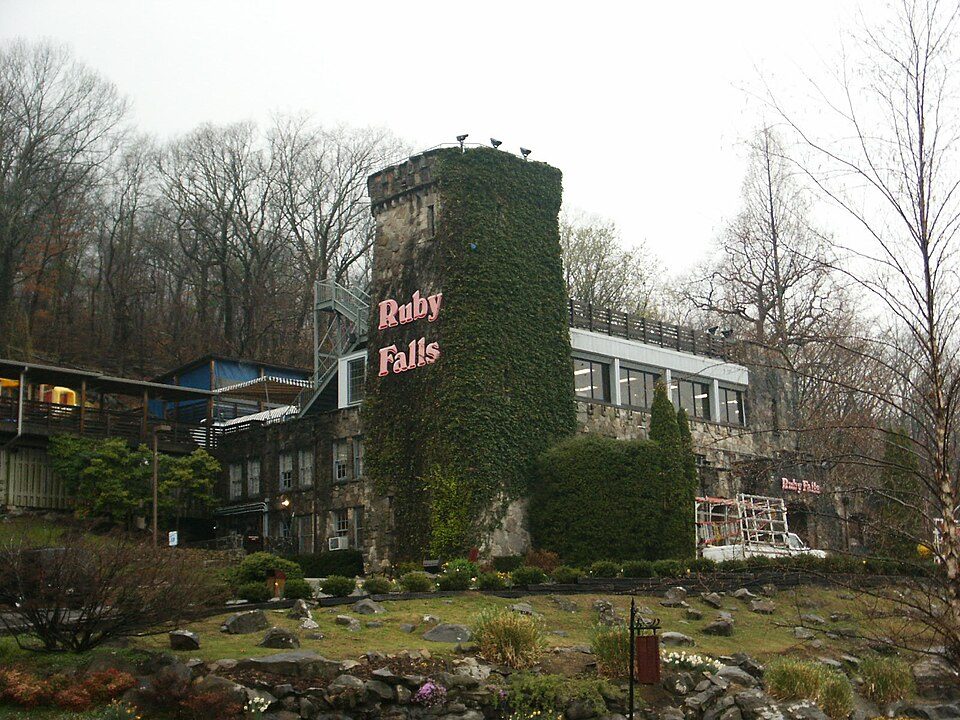 33 mi WaterfallRuby Falls
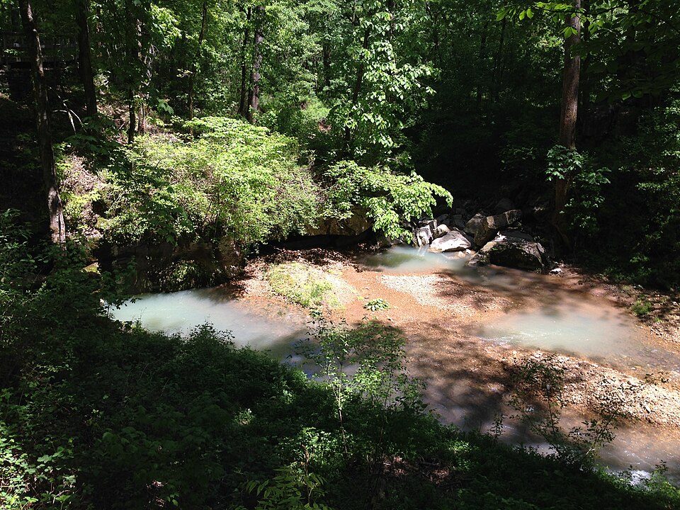 9 mi National MonumentRussell Cave National Monument8K visitors a year
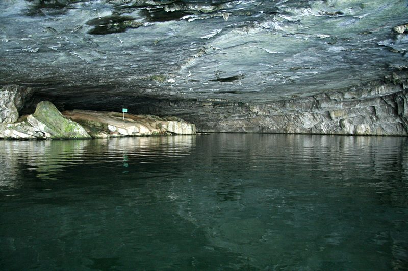 19 mi Park & preserveNickajack Cave
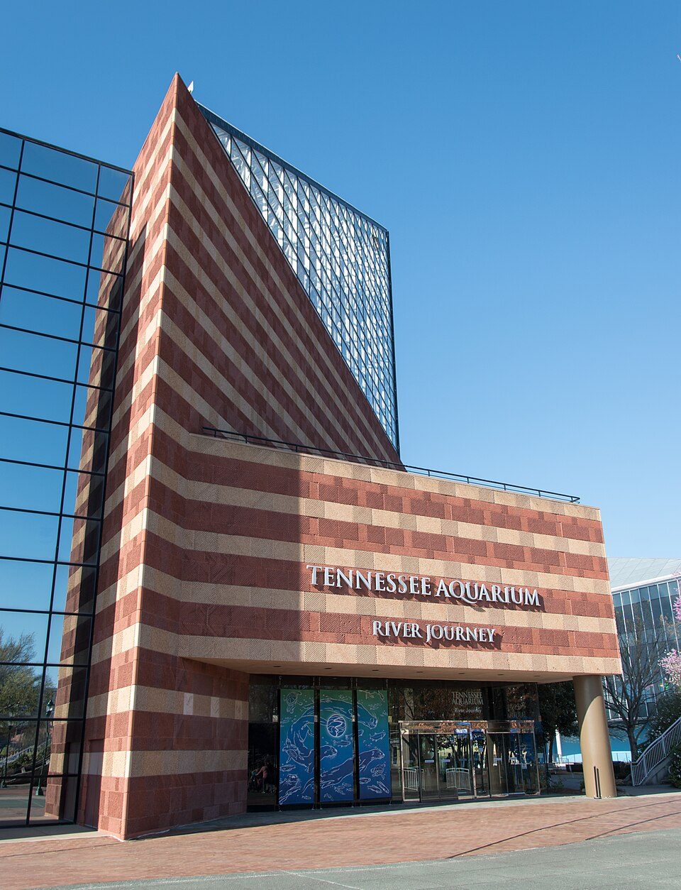 35 mi Zoo & aquariumTennessee Aquarium39 mi Theme parkLake Winnepesaukah
Lookout Mountain: Teke, CC BY-SA 3.0 · Ruby Falls: Oydman (talk), CC BY-SA 3.0 · Russell Cave National Monument: Fredlyfish4, CC BY-SA 3.0 · Nickajack Cave: Blueway, CC BY-SA 3.0 · Tennessee Aquarium: Ɱ, CC BY-SA 4.0
Sherwood is unincorporated, so Franklin County and regional agencies provide most services.
EPA SDWIS (Oct 9, 2026) · HIFLD + EIA-861 2025 · Census 2020 ZCTAs · NCES 2024–25 · registration: vote.gov, updated Nov 18, 2024.
1 within 15 miles of the center of Sherwood
About 0 of every 100 Sherwood residents are enrolled in college, against 5 across Tennessee.
Unincorporated community in Tennessee, United States
Sherwood is an unincorporated community in Franklin County, Tennessee, United States. It is located along Tennessee State Route 56 13.1 miles (21.1 km) southeast of Winchester, and just north of the Alabama state line. Sherwood has a post office with ZIP code 37376.
From Wikipedia, licensed CC BY-SA 4.0 · facts via Wikidata (CC0)
Short answers, built from the data on this page.
Sherwood has fewer than 1,000 residents, too few for fair grades; the figures below are still real.
Ask a question, answer one, post a photo or an event. Free, and the parts only a neighbor would know are the parts worth reading.


