The Sherwood post office opened in 1878, the earliest record of the town by name. Another post office, Catchings (1871), opened inside today’s town and later closed.
2020 census: 122148 years
Founding year: the first Sherwood post office (Blevins & Helbock, CC0).The full story ↓
What stands out about Sherwood’s past
Read from the archive, the National Register and the record. The page puts what stands out first.
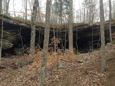
Human habitation in the Sherwood area is very ancient as evidenced by the many thousands of Native American projectile points in the nearby fields. The town location is at the intersection of many old Native American routes which the modern trails and roads often follow. It is located on an old Stagecoach route approximately midway between Sewanee and Anderson, Alabama and is representative of the hamlets and villages that were once commonplace in the area coves and valleys.
Founding dates: Wikidata, Wikipedia, the U.S. post office records of Blevins & Helbock (CC0) and the Census. Homes by year built: Census ACS 2020–24. National Register of Historic Places: National Park Service (list of May 22, 2026). Old photos, postcards and papers: Wikimedia Commons, the Library of Congress and other public archives, credited on each item’s page. Maps: U.S. Geological Survey historical topographic maps (via Esri) and Sanborn fire-insurance maps (Library of Congress). History text and census tables: Wikipedia (CC BY-SA 4.0). Places that used to be: USGS Geographic Names Information System (2021). How TownRatings grades history →
From Wikimedia Commons (6), Wikipedia, U.S. Geological Survey historical maps, the US Post Offices dataset (Blevins & Helbock) and the USGS Geographic Names Information System. Archive images are copied here with their credits and licenses, shown on each photo’s page. Refreshed monthly.


 2016
 2016
 2016
 2016
 2016
 2013


