Half of Adams Township’s homes were built after 2002
More historic than 26% of U.S. towns · #971 of 1,035 in Pennsylvania. What drives it
Most of Adams Township was built recently: 9% of its homes predate 1940 and the median home dates from 2002. Below: 4 old photos and papers, maps from 1906 on, and the census since 1970.
On its age, its old homes and the National Register, Adams Township is more historic than 26% of U.S. towns, #971 of 1,035 in Pennsylvania. Its share of homes from before 1940 holds the grade up; its National Register listings pull it down.
C
HistoryA character grade: shown, never part of Adams Township’s overall grade.
Pennsylvania towns list about as much on the Register as the country (a typical Pennsylvania town has 2.1 per 10,000 residents, the U.S. 2.4), so Adams Township’s 0.0 sits below most of its state (25% of Pennsylvania towns have fewer) while its 0 listings outnumber those of 23% of U.S. towns.
How sure. Graded on two of the three inputs, so a change in either one moves the letter more than it would with three. The pre-1940 share is a Census survey estimate (±4.1 points).
Founding year: our sources. Homes: Census ACS 2020–24. National Register: National Park Service, May 2026 list; each listing counted once (boundary changes and added documentation belong to their listing), and a historic district counts its contributing buildings. How TownRatings grades history →
What stands out about Adams Township’s past
Read from the archive, the National Register and the record. The page puts what stands out first.
Lost post offices, old corners and burying grounds
Two other post offices opened and closed inside today’s town.
Myoma
1882–1902
Downieville
1897–1920
18801950today
Hamlets and corners on the map
DownievilleHays MillMyomaThielman Crossroads
5cemeteries and burying grounds inside Adams Township
MarsMount OliveOld Adams Township Valencia RoadOld Union Presbyterian ChurchSaint Barnabas Home
US Post Offices dataset (Blevins & Helbock, CC0). Places and cemeteries from the USGS Geographic Names Information System (2021).
On the map
Adams Township on the map, 1906 to 1979
Every edition of the U.S. Geological Survey’s map of Adams Township. Tap a year, or press play to watch the town change.
1906Sewickley sheet · 1:62,500
U.S. Geological Survey historical topographic maps (public domain), via Esri’s collection of the scans. The red ring marks the center of Adams Township.
Adams Township was settled in 1796 and incorporated when it separated from Cranberry and Middlesex townships in 1854. It is named for President John Quincy Adams.
With the growing population in neighboring Cranberry Township, Adams has had a steady increase in the population of people over the years. After the 2010 census, it was discovered that Adams Township had the largest population increase of any township or borough in the county as well as one of the highest in Western Pennsylvania over the previous decade.
Passages that mention Adams Township, cut from the printed page as they were published.
History of Butler County Pennsylvania1927 · page 563Read the page →
Read the text
Mars, the principal town of Adams Township, has enjoyed a steady growth. In 1875 the post office was opened here, called Overbrook Post Office, and by this name the town was known until 1882, when the name of Mars was adopted. Many people employed in the oil fields reside in Mars. The inter-urban street car line (the Harmony Line) and the B. & O. Railroad have many employees who make their home in this thriving town.
Text read by machine from the scan; it may contain errors.
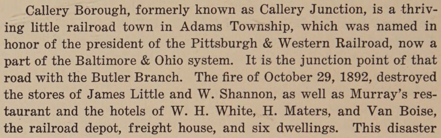
Callery Borough, formerly known as Callery Junction, is a thriving little railroad town in Adams Township, which was named in honor of the president of the Pittsburgh & Western Railroad, now a part of the Baltimore & Ohio system. It is the junction point of that road with the Butler Branch. The fire of October 29, 1892, destroyed the stores of James Little and W. Shannon, as well as Murray’s restaurant and the hotels of W. H. White, H. Maters, and Van Boise, the railroad depot, freight house, and six dwellings. This disaster
Text read by machine from the scan; it may contain errors.
Scans and text from the Internet Archive. Books published in 1930 or earlier, which are in the public domain.
Timeline
Adams Township, 1882 to 1920
Woven from the archive, old maps, post office records, the National Register and the people born here.
Adams Township is more historic than 26% of U.S. towns, #971 of 1,035 in Pennsylvania. The History grade combines the town’s founding era, the share of homes built before 1940 and its National Register listings. It’s a character grade, so it isn’t part of the overall grade. How it works.
How old are the homes in Adams Township?
9% of Adams Township’s homes were built before 1940 (Census estimate, ±4.1 points), against a typical 18% for a Pennsylvania town; the median home was built in 2002.
Founding dates: Wikidata, Wikipedia, the U.S. post office records of Blevins & Helbock (CC0) and the Census. Homes by year built: Census ACS 2020–24. National Register of Historic Places: National Park Service (list of May 22, 2026). Old photos, postcards and papers: Wikimedia Commons, the Library of Congress and other public archives, credited on each item’s page. Maps: U.S. Geological Survey historical topographic maps (via Esri) and Sanborn fire-insurance maps (Library of Congress). History text and census tables: Wikipedia (CC BY-SA 4.0). Places that used to be: USGS Geographic Names Information System (2021).
From Wikimedia Commons (2), the Library of Congress (4), Wikipedia, Wikidata and Wikipedia for famous people, U.S. Geological Survey historical maps, U.S. Census counts (via Wikipedia), the US Post Offices dataset (Blevins & Helbock), the USGS Geographic Names Information System and old county and town histories (Internet Archive). Archive images are copied here with their credits and licenses, shown on each photo’s page. Refreshed monthly.



 Date?
 Date?
 Date?
 Date?
 2022
 2007