Callery was established in 1880, with the post office opening in 1884. Most of the community was lost to a fire in 1892; however, with the area being a major rail hub, many of the structures were rebuilt. The community was incorporated into a borough in 1905.
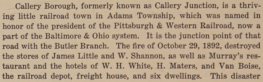
Callery Borough, formerly known as Callery Junction, is a thriving little railroad town in Adams Township, which was named in honor of the president of the Pittsburgh & Western Railroad, now a part of the Baltimore & Ohio system. It is the junction point of that road with the Butler Branch. The fire of October 29, 1892, destroyed the stores of James Little and W. Shannon, as well as Murray’s restaurant and the hotels of W. H. White, H. Maters, and Van Boise, the railroad depot, freight house, and six dwellings. This disaster
Text read by machine from the scan; it may contain errors.
History of Butler County Pennsylvania1927 · page 496Read the page →
Read the text
taught by wandering teachers or by some of the pioneers, of whom quite a number were teachers. Robert Hill taught in the first building erected for school purposes, it being located on or near the old Davis farm. Near the present village of Callery, a log school was built in 1837, and about the year 1848 Samuel Hood taught the first school in the neighborhood of Robbins Mill, it being held in the house vacated by Reuben Conaby.
Text read by machine from the scan; it may contain errors.
Scans and text from the Internet Archive. Books published in 1930 or earlier, which are in the public domain.
Timeline
Callery, 1880 to 1932
Woven from the archive, old maps, post office records, the National Register and the people born here.
In 1880, according to Wikidata and Wikipedia’s history of the town. Callery’s post office opened in 1884, and the census of 1910 counted 335 people here.
Founding dates: Wikidata, Wikipedia, the U.S. post office records of Blevins & Helbock (CC0) and the Census. Homes by year built: Census ACS 2020–24. National Register of Historic Places: National Park Service (list of May 22, 2026). Old photos, postcards and papers: Wikimedia Commons, the Library of Congress and other public archives, credited on each item’s page. Maps: U.S. Geological Survey historical topographic maps (via Esri) and Sanborn fire-insurance maps (Library of Congress). History text and census tables: Wikipedia (CC BY-SA 4.0). Places that used to be: USGS Geographic Names Information System (2021). How TownRatings grades history →
From Wikipedia, Wikidata and Wikipedia for famous people, U.S. Geological Survey historical maps, U.S. Census counts (via Wikipedia), the US Post Offices dataset (Blevins & Helbock), the USGS Geographic Names Information System and old county and town histories (Internet Archive). Archive images are copied here with their credits and licenses, shown on each photo’s page. Refreshed monthly.