
Mt Hood, 2003
Government Camp’s story
95 years in pictures
The archive holds 18 old photos and papers going back to 2003 and 3 maps from 1962 on.
- 1931Government Camp is settled
Each edition grades its towns against each other only.

Government Camp’s midsummer high is 71°F, below both the Oregon town median (82°F) and the median of U.S. towns (85°F). Of the 143 Oregon towns we compare, none has a lower home-ownership rate than Government Camp. 43% of the land in Government Camp is conserved, against 4.4% in Oregon’s towns and 4.3% across U.S. towns. The biggest place to walk is Mount Hood National Forest, 202 acres with 2.1 miles of trail. Government Camp has fewer than 1,000 residents, too few for fair grades; the figures below are still real.
Where Government Camp beats most towns.
In a town this size, neighbors are the best guide. Ask them anything.
The archive holds 18 old photos and papers going back to 2003 and 3 maps from 1962 on.
Museums, parks, gardens and other places to visit around Government Camp. Close and well known come first.
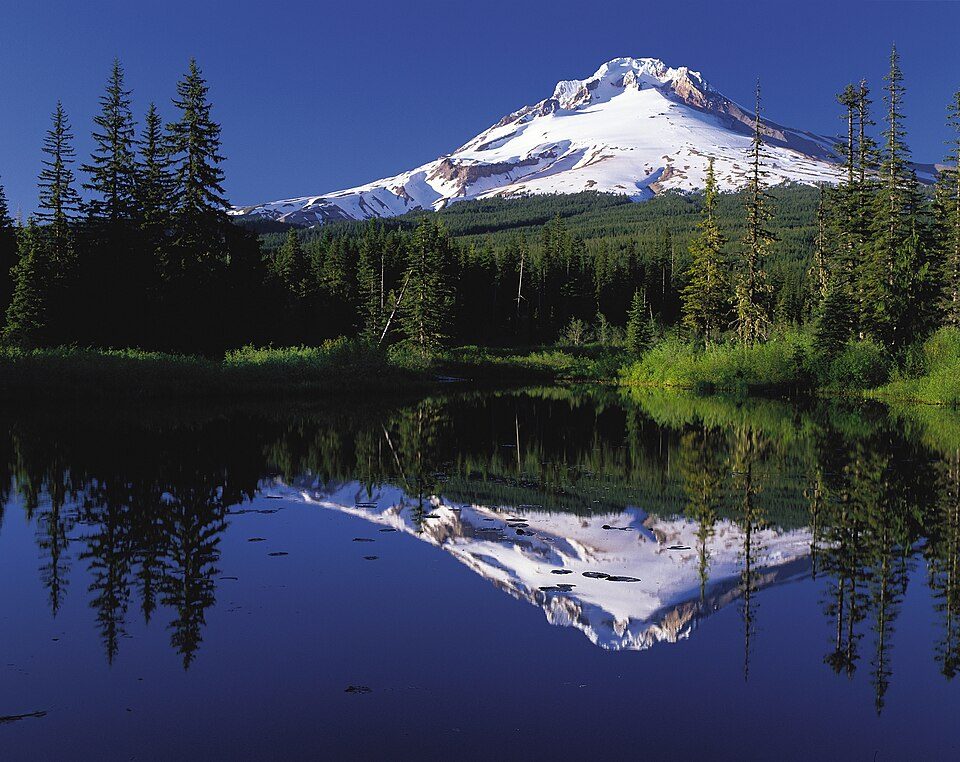 Big draw6 mi MountainMount Hood
 26 mi WaterfallMultnomah Falls
 28 mi Canyon & gorgeColumbia River Gorge
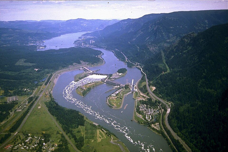 25 mi DamBonneville Dam
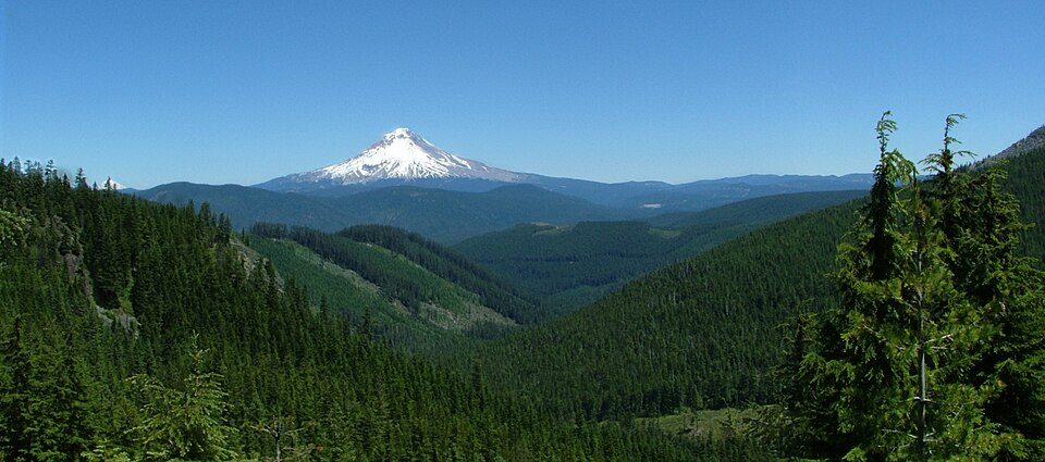 5 mi National forestMount Hood National Forest5 mi Ski areaMt. Hood Meadows Ski Resort94 runs · 2,775 ft vertical
Mount Hood: Oregon's Mt. Hood Territory., Public domain · Multnomah Falls: John Fowler from Placitas, NM, USA, CC BY 2.0 · Columbia River Gorge: Hux, Public domain · Bonneville Dam: U.S. Army Corps of Engineers, Public domain · Mount Hood National Forest: Andy Barrett (User:Big Smooth), CC BY 2.5
Government Camp is unincorporated, so Clackamas County and regional agencies provide most services.
EPA SDWIS (Oct 9, 2026) · HIFLD + EIA-861 2025 · Census 2020 ZCTAs · NCES 2024–25 · registration: vote.gov, updated Oct 2, 2026.
Ordered by what stands out in Government Camp.
In Government Camp, 2.8% of working residents work locally. Among 143 Oregon towns, just 10 have a higher share of residents below the poverty line than Government Camp. Between 2013 and 2023, jobs here rose by 39, to 194. For half of commuters, work is under 42 miles away.
| Government Camp | Oregon towns | U.S. towns | |
|---|---|---|---|
| Average trip to work | 14 minutes | 23 minutes | 25 minutes |
| Below the poverty line | 22% | 11% | 9.6% |
| Working residents who work in town | 2.8% | 9.8% | 8% |
Census LEHD 2023 · ACS
Walkers can cover 2.7 miles of trail in 1 park or preserve.
| Biggest places to walk | Trails | Acres |
|---|---|---|
| 1. Mount Hood National Forest | 2.1 mi | 202 |
Trails & parks © OpenStreetMap contributors · Conserved land: USGS PAD-US
Among 143 Oregon towns, just 5 have a higher FEMA hazard score than Government Camp. Of the losses FEMA expects in the town, 45% come from inland flooding and 29% from avalanches. Expected storm and flood damage is higher than in 91% of U.S. communities.
FEMA National Risk Index · OpenFEMA
The January low in Government Camp is 27°F.
NOAA U.S. Climate Normals, 1991–2020
Government Camp: 32% of adults have obesity. Two figures for adults in the town: 18% get no exercise outside work, 10% smoke cigarettes.
| Government Camp | Oregon towns | U.S. towns | |
|---|---|---|---|
| Yearly checkup (CDC PLACES) | 71% | 72% | 79% |
| Get no exercise (CDC PLACES) | 18% | 21% | 25% |
| Smoke cigarettes (CDC PLACES) | 10% | 13% | 14% |
| Frequent physical distress (CDC PLACES) | 12% | 15% | 14% |
| What stands out | Government Camp | OR |
|---|---|---|
| Fewer older adults who have lost all their teeth | 8.8% | 12.5% |
| Fewer uninsured adults | 6% | 8.5% |
CDC PLACES 2025 · modeled estimates for adults · CMS · HRSA
Zillow Home Value Index · Redfin Data Center
None within 15 miles of Government Camp; the nearest are
About 0 of every 100 Government Camp residents are enrolled in college, against 6 across Oregon.
Where Government Camp’s working residents go each day. Line width shows the share.
Census LEHD 2023
Census-designated place in Oregon, United States
Government Camp is an unincorporated community and census-designated place located in Clackamas County, Oregon, United States, on the base of Mount Hood and north of Tom Dick and Harry Mountain. It is the only town within 5 miles (8 km) of Mount Hood and therefore is the de facto "mountain town" or "ski town". It is the gateway to several ski resorts, with the most popular being Timberline Lodge and Mount Hood Skibowl. Government Camp also has its own, smaller ski resort, Summit Pass. The community is located within the Mount Hood Corridor on U.S. Route 26 (the Mount Hood Highway), near its intersection with Oregon Route 35 and the Barlow Pass summit of the Cascade Range. As of the 2020 cen…
From Wikipedia, licensed CC BY-SA 4.0 · facts via Wikidata (CC0)
Short answers, built from the data on this page.
Government Camp has fewer than 1,000 residents, too few for fair grades; the figures below are still real.


