Guest, Sign inJoin
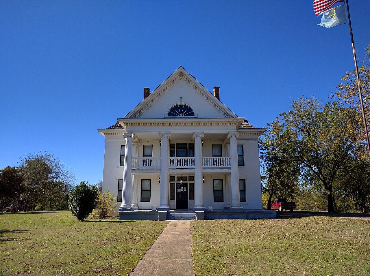
Ramona TheatreFrederick, #1 on this list · Ramona Theatre · Photo: Crimsonedge34 · CC BY-SA 3.0
Oklahoma rankings · Climate

Towns with the least snow in Oklahoma

Frederick gets the least snow of Oklahoma’s 123 towns of 2,500+ with a snow record: about 1 inches in a normal winter at its NOAA station. Woodward gets the most, about 15 inches; 123 of the 123 average under 30 inches.

NOAA U.S. Climate Normals, 1991–2020, at each town’s nearest station with a snow record (named in each row). A described list: no letters. How grades work

#1

Frederick

Tillman County · 3,371 people
1in

0 days a year with an inch or more·Vernon station, 38 km

#2

Tecumseh

Pottawatomie County · 6,402 people
1in

0 days a year with an inch or more·Tecumseh station, 2 km
#3

Lindsay

Garvin County · 2,929 people
2in

0 days a year with an inch or more·Cox City 2 NE station, 14 km

All 123 towns

Snow in a normal winter, least first. Towns that share a station share its figure and rank (T = tied; 79 towns here share a station).

123 towns ranked. Not here? See why a town may be missing.

#TownSnow a yearDays with 1″+NOAA station
1FrederickTillman County · 3,371 people1 in0Vernon38.1 km
2TecumsehPottawatomie County · 6,402 people1 in0Tecumseh1.5 km
3LindsayGarvin County · 2,929 people2 in0Cox City 2 NE13.9 km
T4DavisMurray County · 2,836 people2 in0Chickasaw Nra20.1 km
T4SulphurMurray County · 4,878 people2 in0Chickasaw Nra1.5 km
T6AtokaAtoka County · 2,975 people2 in0Mcgee Creek Dam25.7 km
T6CacheComanche County · 3,239 people2 in1Wichita Mtn Wr14.4 km
T6ElginComanche County · 3,653 people2 in1Wichita Mtn Wr38.5 km
T6LawtonComanche County · 90,503 people2 in1Wichita Mtn Wr29.5 km
10SallisawSequoyah County · 8,790 people2 in1Sallisaw 2 NW0.5 km
T11CaleraBryan County · 3,145 people2 in1Durant9.5 km
T11DurantBryan County · 21,552 people2 in1Durant2.3 km
T11IdabelMcCurtain County · 6,934 people2 in1Idabel2.9 km
T11MangumGreer County · 2,683 people2 in1Mangum1.4 km
T11TishomingoJohnston County · 3,123 people2 in0Tishomingo Natl Wr5.1 km
16HobartKiowa County · 3,257 people2 in2Altus Dam24.6 km
17Broken BowMcCurtain County · 4,211 people2 in0Broken Bow 1 N2.3 km
T18AnadarkoCaddo County · 5,448 people2 in1Anadarko 3 E4.2 km
T18MadillMarshall County · 4,181 people2 in1Madill0.6 km
T20EdmondOklahoma County · 100,479 people2 in1Arcadia 3 WSW4.8 km
T20JonesOklahoma County · 3,222 people2 in1Arcadia 3 WSW12.0 km
T20SpencerOklahoma County · 3,857 people2 in1Arcadia 3 WSW16.0 km
T20The VillageOklahoma County · 9,276 people2 in1Arcadia 3 WSW19.7 km
T24Fort GibsonMuskogee County · 3,814 people3 in1Muskogee6.7 km
T24MuskogeeMuskogee County · 36,760 people3 in1Muskogee4.3 km
T24WagonerWagoner County · 8,405 people3 in1Muskogee21.2 km
T27ArdmoreCarter County · 24,956 people3 in1Ardmore3.5 km
T27CowetaWagoner County · 11,472 people3 in1Haskell16.4 km
T27GuymonTexas County · 12,241 people3 in1Goodwell Rsch Stn16.7 km
T27Lone GroveCarter County · 5,244 people3 in1Ardmore8.4 km
T31AltusJackson County · 18,707 people3 in1Headrick15.8 km
T31DuncanStephens County · 23,238 people3 in1Duncan2.2 km
T33PocolaLe Flore County · 4,660 people3 in1Ft Smith Rgnl AP13.2 km
T33RolandSequoyah County · 4,146 people3 in1Ft Smith Rgnl AP16.0 km
T35El RenoCanadian County · 20,730 people4 in1El Reno 1 N1.0 km
T35HoldenvilleHughes County · 5,923 people4 in2Wewoka 3 SW13.6 km
T35WewokaSeminole County · 3,046 people4 in2Wewoka 3 SW4.1 km
T38MariettaLove County · 2,982 people4 in1Marietta 5sw7.6 km
T38Pauls ValleyGarvin County · 6,157 people4 in2Pauls Valley 4 WSW5.5 km
T40ChoctawOklahoma County · 12,549 people4 in1Stella19.1 km
T40HarrahOklahoma County · 7,212 people4 in1Stella17.1 km
T40McLoudPottawatomie County · 4,564 people4 in1Stella13.4 km
T43AdaPontotoc County · 16,660 people4 in1Ada2.5 km
T43CushingPayne County · 8,390 people4 in2Cushing1.3 km
T43DrumrightCreek County · 2,546 people4 in2Cushing16.1 km
T43GoldsbyMcClain County · 3,591 people4 in2Norman 3sse7.7 km
T43MustangCanadian County · 24,571 people4 in2Union City 3 SE14.8 km
T43NobleCleveland County · 7,748 people4 in2Norman 3sse7.9 km
T43NormanCleveland County · 130,943 people4 in2Norman 3sse10.7 km
T43PurcellMcClain County · 7,030 people4 in2Norman 3sse18.4 km
T43SlaughtervilleCleveland County · 4,332 people4 in2Norman 3sse17.0 km
T43TuttleGrady County · 8,708 people4 in2Union City 3 SE13.5 km
T53Park Hillunincorporated, Cherokee County · 3,237 people4 in1Tahlequah11.4 km
T53TahlequahCherokee County · 17,508 people4 in1Tahlequah3.2 km
55SeminoleSeminole County · 7,393 people4 in1Seminole0.5 km
T56Longtownunincorporated, Pittsburg County · 2,716 people5 in2Webbers Falls 5 WSW39.0 km
T56StiglerHaskell County · 2,749 people5 in2Webbers Falls 5 WSW26.0 km
T58ChickashaGrady County · 17,313 people5 in2Chickasha Exp Station3.0 km
T58WatongaBlaine County · 2,594 people5 in2Geary25.2 km
T60HintonCaddo County · 4,975 people5 in2Lookeba 1 N14.8 km
T60OkemahOkfuskee County · 3,091 people5 in2Okemah0.5 km
62PerkinsPayne County · 3,271 people5 in2Perkins0.7 km
63KingfisherKingfisher County · 5,201 people5 in2Kingfisher1.8 km
T64GroveDelaware County · 7,399 people6 in2Spavinaw32.7 km
T64JayDelaware County · 2,507 people6 in2Spavinaw24.0 km
T64MarlowStephens County · 4,514 people6 in2Marlow 1 WSW2.1 km
T64StilwellAdair County · 3,892 people6 in2Odell 2 N19.8 km
T64VinitaCraig County · 5,424 people6 in2Spavinaw28.3 km
T69ChandlerLincoln County · 2,963 people6 in2Stroud 3 N18.0 km
T69ClintonCuster County · 8,302 people6 in3Weatherford24.7 km
T69StroudLincoln County · 2,913 people6 in2Stroud 3 N3.5 km
T69WeatherfordCuster County · 12,005 people6 in3Weatherford2.3 km
T73PiedmontCanadian County · 9,427 people6 in2Piedmont 3 N1.9 km
T73YukonCanadian County · 27,615 people6 in2Piedmont 3 N19.2 km
75BlanchardMcClain County · 10,013 people6 in3Blanchard 2 SSW3.8 km
T76Bethel AcresPottawatomie County · 3,301 people6 in2Shawnee12.3 km
T76ShawneePottawatomie County · 32,474 people6 in2Shawnee3.6 km
78New CordellWashita County · 2,746 people6 in3Cordell1.2 km
T79PerryNoble County · 4,448 people6 in2Perry1.9 km
T79SayreBeckham County · 4,783 people6 in3Sayre1.2 km
T81BethanyOklahoma County · 20,315 people7 in2Oklahoma City Will Rogers AP13.7 km
T81BristowCreek County · 4,381 people7 in2Bristow0.5 km
T81Del CityOklahoma County · 21,138 people7 in2Oklahoma City Will Rogers AP15.9 km
T81Midwest CityOklahoma County · 58,799 people7 in2Oklahoma City Will Rogers AP21.9 km
T81MooreCleveland County · 63,609 people7 in2Oklahoma City Will Rogers AP13.2 km
T81NewcastleMcClain County · 15,198 people7 in2Oklahoma City Will Rogers AP16.3 km
T81Nichols HillsOklahoma County · 3,864 people7 in2Oklahoma City Will Rogers AP18.3 km
T81Oklahoma CityOklahoma County · 719,849 people7 in2Oklahoma City Will Rogers AP11.7 km
T81Warr AcresOklahoma County · 10,552 people7 in2Oklahoma City Will Rogers AP15.3 km
T90GuthrieLogan County · 12,257 people7 in2Guthrie 5s6.8 km
T90HominyOsage County · 3,293 people7 in2Ralston32.7 km
92MiamiOttawa County · 12,893 people7 in2Columbus32.2 km
T93ClaremoreRogers County · 20,681 people8 in2Pryor25.1 km
T93Pryor CreekMayes County · 9,723 people8 in2Pryor2.0 km
T93StillwaterPayne County · 50,046 people8 in2Stillwater 2 W2.4 km
T96BlackwellKay County · 6,029 people8 in3Blackwell 1ssw2.2 km
T96Ponca CityKay County · 24,225 people8 in3Blackwell 1ssw21.2 km
T96TonkawaKay County · 2,983 people8 in3Blackwell 1ssw12.8 km
T99BartlesvilleWashington County · 38,278 people8 in2Bartlesville F P Fld7.7 km
T99ChecotahMcIntosh County · 3,096 people8 in3Checotah1.1 km
T99DeweyWashington County · 3,450 people8 in2Bartlesville F P Fld8.6 km
T99NowataNowata County · 3,584 people8 in2Bartlesville F P Fld35.5 km
T99PawhuskaOsage County · 2,923 people8 in2Bartlesville F P Fld29.3 km
T104ClevelandPawnee County · 3,271 people8 in3Mannford 6 NW15.4 km
T104MannfordCreek County · 3,432 people8 in3Mannford 6 NW11.2 km
106Elk CityBeckham County · 11,335 people9 in3Elk City 4 W7.0 km
T107BixbyTulsa County · 32,766 people9 in2Tulsa Intl AP28.2 km
T107Broken ArrowTulsa County · 124,991 people9 in2Tulsa Intl AP20.0 km
T107CatoosaRogers County · 7,471 people9 in2Tulsa Intl AP10.7 km
T107CollinsvilleTulsa County · 9,956 people9 in2Tulsa Intl AP19.5 km
T107GlenpoolTulsa County · 14,705 people9 in2Tulsa Intl AP29.8 km
T107JenksTulsa County · 28,175 people9 in2Tulsa Intl AP23.7 km
T107OwassoTulsa County · 43,117 people9 in2Tulsa Intl AP10.8 km
T107Sand SpringsTulsa County · 20,397 people9 in2Tulsa Intl AP22.7 km
T107SapulpaCreek County · 23,695 people9 in2Tulsa Intl AP30.3 km
T107SkiatookOsage County · 8,960 people9 in2Tulsa Intl AP17.2 km
T107TulsaTulsa County · 416,209 people9 in2Tulsa Intl AP8.1 km
T107Turleyunincorporated, Tulsa County · 2,968 people9 in2Tulsa Intl AP8.8 km
T107VerdigrisRogers County · 5,888 people9 in2Tulsa Intl AP21.2 km
120FairviewMajor County · 2,632 people9 in3Orienta 1ssw8.7 km
121EnidGarfield County · 50,297 people9 in3Enid1.5 km
122AlvaWoods County · 4,880 people11 in4Alva 1w2.4 km
123WoodwardWoodward County · 11,635 people15 in4Woodward2.7 km

A station’s normal can differ from the town’s own when the station sits higher or lower; each town’s Climate page names its station and checks it.

Quick answers

Questions people ask

What part of Oklahoma gets the least amount of snow?

Among towns of 2,500+, the least snow falls in Frederick (Tillman County, about 1 in), Tecumseh (Pottawatomie County, about 1 in), Lindsay (Garvin County, about 2 in), on NOAA’s 1991–2020 normals at each town’s station.

Which Oklahoma town gets the most snow?

Woodward (Woodward County), about 15 inches in a normal winter at the Woodward station. See the snowiest towns.

Why isn’t my town on this list?

The list covers towns of 2,500+ residents (131 in Oklahoma) whose nearest station has a snow normal of an inch or more; 8 have no station with a snow record. Smaller towns show their snow on their own Climate page.

Go deeper

More Oklahoma lists

Every list ranks the same 2,500+ towns, so a town’s rank means the same thing on each.

All Oklahoma rankings →
Other states

Least snow in other states