West Bloomfield’s post office opened in 1813, and 23% of its homes were built before 1940
More historic than 80% of U.S. towns · #416 of 758 in New York. What drives it
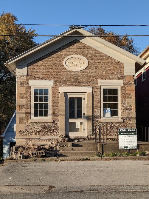
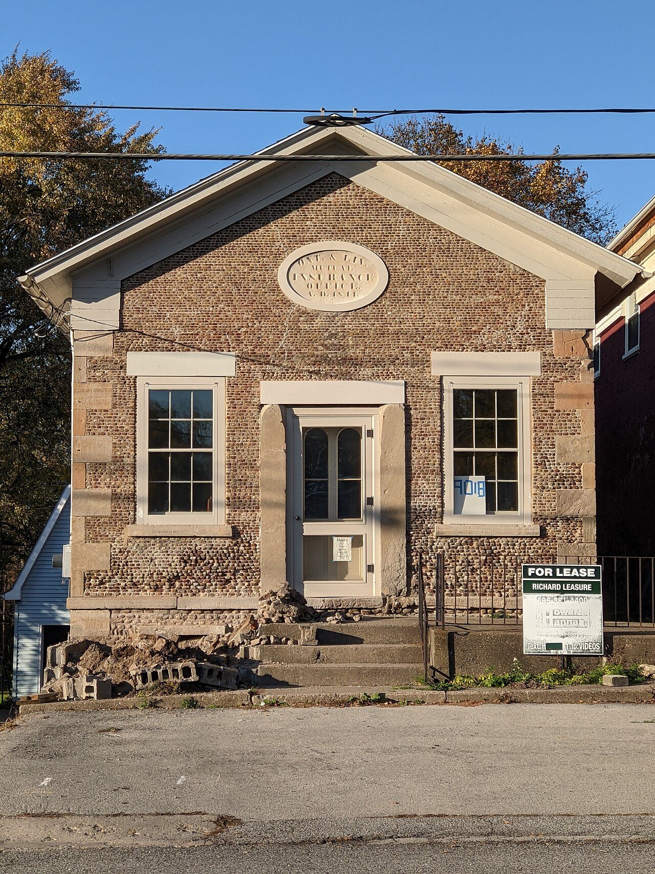
Its Register listings are the John and Mary Dickson House, the Ontario and Livingston Mutual Insurance Office and the Waltrous Peck House. Below: maps from 1901 on and the census since 1840.
The West Bloomfield post office opened in 1813, the earliest record of the town by name. Two smaller post offices, North Bloomfield (1829) and Miller Corners (1869), opened inside today’s town and later closed.
First census: 2,094 in 18402020 census: 2,740213 years
How historic is West Bloomfield?
A−
More historic than 80% of U.S. towns, on its age, its old homes and the National Register.
Founding year: the first West Bloomfield post office (Blevins & Helbock, CC0).The full story ↓
History grade
What drives West Bloomfield’s History grade
On its age, its old homes and the National Register, West Bloomfield is more historic than 80% of U.S. towns, #416 of 758 in New York. All 3 inputs are above most U.S. towns; its age ranks highest and its National Register listings lowest.
A−
HistoryA character grade: shown, never part of West Bloomfield’s overall grade.
New York towns list more on the Register than most of the country (a typical New York town has 12.3 per 10,000 residents, the U.S. 2.4), so West Bloomfield’s 11.0 sits near the middle of its state (47% of New York towns have fewer) while its 3 listings outnumber those of 65% of U.S. towns.
How sure. Graded on any two of the three inputs instead, the letter would range from B+ to A−. The pre-1940 share is a Census survey estimate (±8.7 points). The founding year is the first post office, not a stated founding date.
Founding year: the first post office (other dates in Quick answers). Homes: Census ACS 2020–24. National Register: National Park Service, May 2026 list; each listing counted once (boundary changes and added documentation belong to their listing), and a historic district counts its contributing buildings. How TownRatings grades history →
What stands out about West Bloomfield’s past
Read from the archive, the National Register and the record. The page puts what stands out first.
The town is within the historic homeland of the Seneca Nation, and tradition holds that three of the tribe's villages were located in the town. As such, during the spring season when much of the town's farmland is being plowed, it is not uncommon to find arrowheads and other artifacts.The first Europeans to visit the area were members of the Jesuits in the 17th century during their westward quests.
Settlement began around 1789 and the Town of West Bloomfield was officially established in 1833 from part of the Town of Bloomfield.
The West Bloomfield Congregational Church was founded in 1799. The Congregation would meet on top of a hill that would later (in 1806, current building erected in 1875) be home to the actual church building.
Passages that mention West Bloomfield, cut from the printed page as they were published.
History of Ontario county, New York1893 · page 449Read the page →
Read the text
The Methodist Episcopal Church of West Bloomfield, as an original organization, belongs to the town rather than the village of Miller's Corners The society was formed February 7. 1 831, and held its first meetings in West Bloomfield, in the school house, and occasionally in Mr. Miller's barn. The church edifice was built in 1832. However, as most of the members resided at the Corners or its vicinity, the society was disbanded, and afterwards reorganized as a society of Miller's 57
Text read by machine from the scan; it may contain errors.
History of Ontario county, New York1893 · page 450Read the page →
Read the text
As has been stated in this chapter, the town of West Bloomfield was set off February 11, 1833, and was separately organized at the first town meeting held on the first Tuesday in April following, at which time these officers were elected : Reynold Peck, supervisor ; H. B. Hall, town clerk ; Stephen Blake, David Paul and Wheeler Griffin, assessors ; Isaac W. Phillips, collector ; Stephen Hendee and Sylvester Kellogg, overseers of the poor; Sidney Huntington, Enoch Hall and Elias D.
Text read by machine from the scan; it may contain errors.
Scans and text from the Internet Archive. Books published in 1930 or earlier, which are in the public domain.
Timeline
West Bloomfield, 1813 to 2020
Woven from the archive, old maps, post office records, the National Register and the people born here.
Every edition of the U.S. Geological Survey’s map of West Bloomfield. Tap a year, or press play to watch the town change.
1901Honeoye sheet · 1:62,500
U.S. Geological Survey historical topographic maps (public domain), via Esri’s collection of the scans. The red ring marks the center of West Bloomfield.
On the National Register
3 historic places in West Bloomfield
The country’s official list of buildings and places worth saving.
The West Bloomfield post office opened in 1813, the earliest record of the town by name (U.S. post office records).
How does West Bloomfield rank for history?
West Bloomfield is more historic than 80% of U.S. towns, #416 of 758 in New York. The History grade combines the town’s founding era, the share of homes built before 1940 and its National Register listings. It’s a character grade, so it isn’t part of the overall grade. How it works.
What is on the National Register in West Bloomfield?
Three places: the John and Mary Dickson House (listed 2008), the Ontario and Livingston Mutual Insurance Office (2008) and the Waltrous Peck House (2017).
How old are the homes in West Bloomfield?
23% of West Bloomfield’s homes were built before 1940 (Census estimate, ±8.7 points), against a typical 27% for a New York town; the median home was built in 1976.
Founding dates: Wikidata, Wikipedia, the U.S. post office records of Blevins & Helbock (CC0) and the Census. Homes by year built: Census ACS 2020–24. National Register of Historic Places: National Park Service (list of May 22, 2026). Old photos, postcards and papers: Wikimedia Commons, the Library of Congress and other public archives, credited on each item’s page. Maps: U.S. Geological Survey historical topographic maps (via Esri) and Sanborn fire-insurance maps (Library of Congress). History text and census tables: Wikipedia (CC BY-SA 4.0). Places that used to be: USGS Geographic Names Information System (2021).
From Wikimedia Commons (2), Wikidata (2), the National Register of Historic Places (3), Wikipedia, U.S. Geological Survey historical maps, U.S. Census counts (via Wikipedia), the US Post Offices dataset (Blevins & Helbock), the USGS Geographic Names Information System and old county and town histories (Internet Archive). Archive images are copied here with their credits and licenses, shown on each photo’s page. Refreshed monthly.



 2024
 2018