Pittsford’s post office opened in 1818, and 8 of its places are on the National Register
More historic than 81% of U.S. towns · #411 of 758 in New York. What drives it
8 places in town are on the National Register, among them three historic districts with 649 buildings between them. Most of Pittsford was built recently: 8% of its homes predate 1940 and the median home dates from 1973. Below: maps from 1885 on and the census since 1820.
The Pittsford post office opened in 1818, the earliest record of the town by name. Wikidata gives 1827.
First census: 1,582 in 18202020 census: 30,617208 years
How did Pittsford get its name?
Pittsford was named by Colonel Caleb Hopkins, a War of 1812 hero and subsequently Pittsford town supervisor, for the town of his birth, Pittsford, Vermont.
How historic is Pittsford?
A−
More historic than 81% of U.S. towns, on its age, its old homes and the National Register.
On its age, its old homes and the National Register, Pittsford is more historic than 81% of U.S. towns, #411 of 758 in New York. Its National Register listings hold the grade up; its share of homes from before 1940 pulls it down.
A−
HistoryA character grade: shown, never part of Pittsford’s overall grade.
New York towns list more on the Register than most of the country (a typical New York town has 12.3 per 10,000 residents, the U.S. 2.4), so Pittsford’s 216 sits above most of its state (83% of New York towns have fewer) while its 660 historic buildings outnumber those of 98% of U.S. towns.
How sure. Graded on any two of the three inputs instead, the letter would range from B to A. The pre-1940 share (±1.3 points) is firm at this size. The founding year is the first post office, not a stated founding date; Wikidata’s 1827 falls in the same era, so the grade doesn’t depend on which one is used.
Founding year: the first post office (other dates in Quick answers). Homes: Census ACS 2020–24. National Register: National Park Service, May 2026 list; each listing counted once (boundary changes and added documentation belong to their listing), and a historic district counts its contributing buildings. How TownRatings grades history →
What stands out about Pittsford’s past
Read from the archive, the National Register and the record. The page puts what stands out first.
The town is situated within the region subject to the Marquis de Denonville's expedition of 1,600 French soldiers, 400 Canadian colonials, and 983 Native American allies in 1687, for the purpose of punishing the Seneca tribe, the foremost nation of the Iroquois Indian Confederacy, for their connection with the English and their interference in the lucrative French fur trade.
Passages that mention Pittsford, cut from the printed page as they were published.
History of the pioneer settlement of Phelps and Gorham's purchase, and Morris' reserve1851 · page 430Read the page →
Read the text
Hopkins, of Pittsford, and Mr. Maybee was the father of John and James Maybee, who were pioneer settlers of Royalton, Niagara county, and of Suffrenus Maybee, a pioneer settler at Buffalo, and the mouth of Cattaraugus creek ; a daughter was the wife of Orange Stone, another of Caleb Hopkins, another of Griffin, of Pittsford. Dr. Fassett, of Lockport, and a brother of his in Rochester, are grand-sons of Gen. Fassett.
Text read by machine from the scan; it may contain errors.
History of Monroe County, Michigan ..1890 · page 225Read the page →
Read the text
Adrian. He also planned three sections west of Adrian, and jjut the first — Adrian to Clayton— into commission, and established the second to extend from Clayton to Pittsford, the third from Pittsford to Hillsdale. Over each section he put a foreman wlio Iiad two, three, and sometimes four men under him, whose duty it was to see that tlio track was
Text read by machine from the scan; it may contain errors.
Scans and text from the Internet Archive. Books published in 1930 or earlier, which are in the public domain.
Timeline
Pittsford, 1818 to 2002
Woven from the archive, old maps, post office records, the National Register and the people born here.
Fire insurance maps drew every building, what it was made of and what it was used for, so insurers could price the risk of fire. Pick a year, then a sheet.
First Methodist ChurchchurchHillcrest Country ClublocaleSaint Louis Roman Catholic ChurchchurchSchool Number 1schoolSchool Number 12schoolSchool Number 2schoolSchool Number 3schoolSchool Number 4schoolSchool Number 5schoolSchool Number 7schoolSchool Number 8schoolWashington Drive-Inlocale
3cemeteries and burying grounds inside Pittsford
East StreetPioneerPittsford
US Post Offices dataset (Blevins & Helbock, CC0). Places and cemeteries from the USGS Geographic Names Information System (2021).
Stories next door
History across the town line
Each neighbor’s History grade, on the same three inputs.
The Pittsford post office opened in 1818, the earliest record of the town by name (U.S. post office records). Wikidata gives 1827.
How does Pittsford rank for history?
Pittsford is more historic than 81% of U.S. towns, #411 of 758 in New York. The History grade combines the town’s founding era, the share of homes built before 1940 and its National Register listings. It’s a character grade, so it isn’t part of the overall grade. How it works.
What is on the National Register in Pittsford?
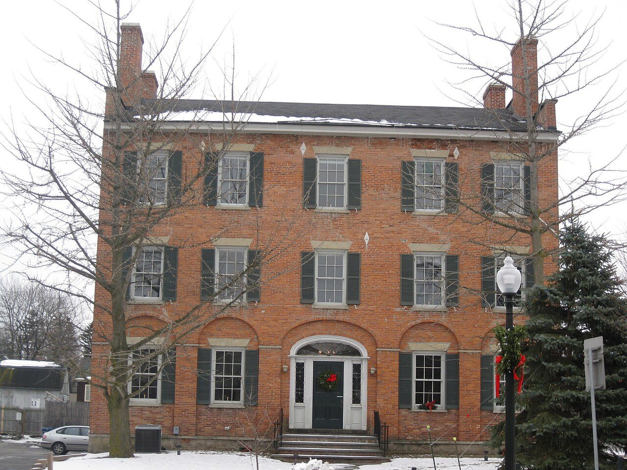
8 listings: 5 buildings, among them the Phoenix Building (listed 1974, the first), and 3 historic districts, the Pittsford Village Historic District, the Hopkins Farm and the Oak Hill Country Club, with 649 contributing buildings. 660 historic buildings in all.
How old are the homes in Pittsford?
8% of Pittsford’s homes were built before 1940 (Census estimate, ±1.3 points), against a typical 27% for a New York town; the median home was built in 1973.
Founding dates: Wikidata, Wikipedia, the U.S. post office records of Blevins & Helbock (CC0) and the Census. Homes by year built: Census ACS 2020–24. National Register of Historic Places: National Park Service (list of May 22, 2026). Old photos, postcards and papers: Wikimedia Commons, the Library of Congress and other public archives, credited on each item’s page. Maps: U.S. Geological Survey historical topographic maps (via Esri) and Sanborn fire-insurance maps (Library of Congress). History text and census tables: Wikipedia (CC BY-SA 4.0). Places that used to be: USGS Geographic Names Information System (2021).
From Wikimedia Commons (18), the National Register of Historic Places (8), Wikipedia, Wikidata and Wikipedia for famous people, U.S. Geological Survey historical maps, U.S. Census counts (via Wikipedia), the US Post Offices dataset (Blevins & Helbock), the USGS Geographic Names Information System, Sanborn fire insurance maps (Library of Congress) and old county and town histories (Internet Archive). Archive images are copied here with their credits and licenses, shown on each photo’s page. Refreshed monthly.






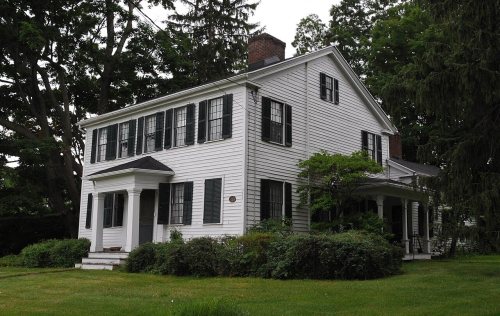


 2010
 2010
 2010
 2009
 2009
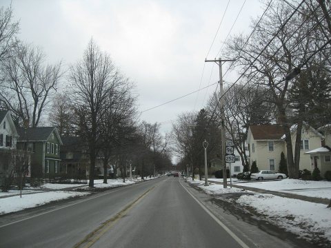 2009
 2009
 2009
 2008
 2007
 2007
 2007
 2007
 2007
 2007
 2007
 2007
 2006


