Newburgh dates to 1709, and 11 of its places are on the National Register
Most of Newburgh was built recently: 8% of its homes predate 1940 and the median home dates from 1979. 11 places in town are on the National Register, among them two historic districts with 16 buildings between them. Below: 18 old photos and papers, maps from 1884 on, and the census since 1860.
Lost post offices, old corners, places now gone and burying grounds
11 other post offices opened and closed inside today’s town.
Middle Hope
1832–1937
Savill
1854–1892
Orange Lake
1869–1931
East Coldenham
1872–1902
Cronomer Valley
1874–1908
Leptondale
1881–1915
Roseton
1885–1973
Gardentown
1890–1891
Savilton
1892–1920
Gardnertown
1897–1902
18301930today
Hamlets and corners on the map
BalmvilleCandlestick Mobile Home ParkCedar CliffChadwick EstatesCronomer ValleyDogwood HillsEast ColdenhamFostertownGardnertownGlenwood ParkHudson Valley Mobile Home ParkLeptondaleMeadow WindsMiddle HopeOrange LakeRosetonRossvilleSavilton
Gone or out of use
Balmville Public SchoolschoolBrookside Drive-InlocaleFostertown SchoolschoolLeptondale SchoolschoolMiddle Hope AirportairportMiddlehope Drive-InlocaleOrange Lake SchoolschoolOur Lady of Hope SeminaryschoolStewart Air Force Basemilitary
5cemeteries and burying grounds inside Newburgh
BelknapCedar Hill Cemetery and MausoleumCosmanHighlandRossville
US Post Offices dataset (Blevins & Helbock, CC0). Places and cemeteries from the USGS Geographic Names Information System (2021).
By decade
Newburgh, decade by decade
5 decades in the archive, from the 1820s to the 1870s. Scroll each row; tap a photo for its story.
At the time of European contact the area of Newburgh was occupied by the Waoranek, a branch of the Lenape. The area that became Newburgh was first explored by Europeans when Henry Hudson stopped by during his 1609 expedition up the river that now bears his name. His navigator, Robert Juet, is said to have called the site "a pleasant place to build a town", although some later historians believe he may actually have been referring to the area where Cornwall-on-Hudson now stands.
Every edition of the U.S. Geological Survey’s map of Newburgh. Tap a year, or press play to watch the town change.
1903Newburgh sheet · 1:62,500
U.S. Geological Survey historical topographic maps (public domain), via Esri’s collection of the scans. The red ring marks the center of Newburgh.
Every building
Newburgh, building by building, 1884–1913
Fire insurance maps drew every building, what it was made of and what it was used for, so insurers could price the risk of fire. Pick a year, then a sheet.
In 1709, according to Wikidata. Newburgh’s post office opened in 1832, and the census of 1860 counted 12,578 people here.
What is on the National Register in Newburgh?
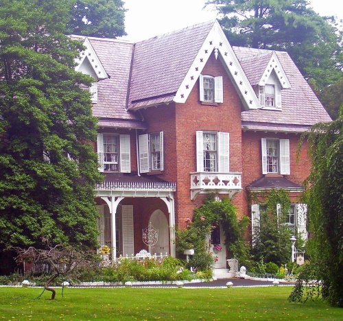
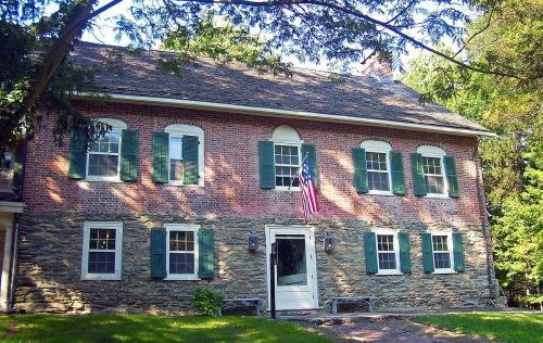
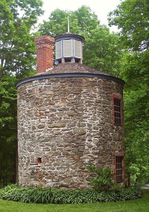
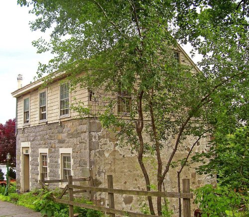
11 listings: 6 buildings, among them the Mill House (listed 1973, the first), 2 historic districts, the Orange Mill Historic District and the Bloomer-Dailey House and Balmville Tree, with 16 contributing buildings, and 3 sites. 30 historic buildings in all.
Founding dates: Wikidata, Wikipedia, the U.S. post office records of Blevins & Helbock (CC0) and the Census. Homes by year built: Census ACS 2020–24. National Register of Historic Places: National Park Service (list of May 22, 2026). Old photos, postcards and papers: Wikimedia Commons, the Library of Congress and other public archives, credited on each item’s page. Maps: U.S. Geological Survey historical topographic maps (via Esri) and Sanborn fire-insurance maps (Library of Congress). History text and census tables: Wikipedia (CC BY-SA 4.0). Places that used to be: USGS Geographic Names Information System (2021). How TownRatings grades history →
From Wikimedia Commons (14), the Library of Congress (4), the National Register of Historic Places (11), Wikipedia, Wikidata and Wikipedia for famous people, U.S. Geological Survey historical maps, U.S. Census counts (via Wikipedia), the US Post Offices dataset (Blevins & Helbock), the USGS Geographic Names Information System and Sanborn fire insurance maps (Library of Congress). Archive images are copied here with their credits and licenses, shown on each photo’s page. Refreshed monthly.


 1821
 1834
 1850
 c. 1852
 1857
 1859
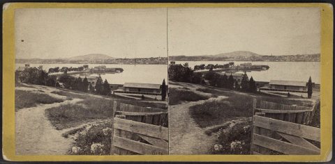 c. 1860
 c. 1860
 c. 1860
 c. 1860
 c. 1860
 c. 1860
 1860
 1861–1897
 1872
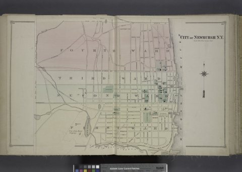 1875
 1875
 1875