21 places in town are on the National Register, among them three historic districts with 50 buildings between them. Below: 1 old photo or paper, maps from 1900 on, and the census since 1820.
On its age, its old homes and the National Register, Lyme is more historic than 96% of U.S. towns. All 2 inputs are above most U.S. towns; its National Register listings ranks highest and its share of homes from before 1940 lowest.
A+
HistoryA character grade: shown, never part of Lyme’s overall grade.
New York towns list more on the Register than most of the country (a typical New York town has 12.3 per 10,000 residents, the U.S. 2.4), so Lyme’s 411 sits above most of its state (90% of New York towns have fewer) while its 85 historic buildings outnumber those of 88% of U.S. towns.
How sure. Graded on two of the three inputs, so a change in either one moves the letter more than it would with three. The pre-1940 share is a Census survey estimate (±5.3 points).
Founding year: our sources. Homes: Census ACS 2020–24. National Register: National Park Service, May 2026 list; each listing counted once (boundary changes and added documentation belong to their listing), and a historic district counts its contributing buildings. How TownRatings grades history →
What stands out about Lyme’s past
Read from the archive, the National Register and the record. The page puts what stands out first.
A prehistoric occupation area from the Middle Woodland Period is known as the Point Peninsula complex.
A common belief is that early explorers visited this town during the 16th century.
Settlement began around 1802. Due to the large expanse of low-lying land, there was a great deal of sickness in the town.
During the War of 1812, the inhabitants built a fort, but tore it down after visiting British officials assured them no harm would come to them if they removed fortifications.
Passages that mention Lyme, cut from the printed page as they were published.
A history of Jefferson County in the state of New York1854 · page 203Read the page →
Read the text
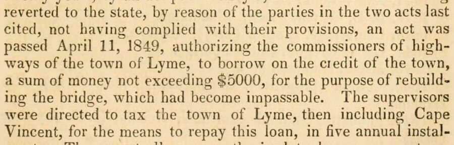
reverted to the state, by reason of the parties in the two acts last cited, not having complied with their provisions, an act was passed April 11, 1849, authorizing the commissioners of highways of the town of Lyme, to borrow on the ciedit of the town, a sum of money not exceeding $5000, for the purpose of rebuilding the bridge, which had become impassable. The supervisors were directed to tax the town of Lyme, then including Cape Vincent, for the means to repay this loan, in five annual instal-
Text read by machine from the scan; it may contain errors.
Lyme, including the territory of Cape Vincent, was erected from Brownville in 1818. Cape Vincent was cut off from the town of Lyme on April 10, 1849. Its name was derived from its principal village, which, in turn, had been named from Vincent, sou of Le Ray De Chaumont.
Text read by machine from the scan; it may contain errors.
History of Jefferson County, New York1878 · page 445Read the page →
Read the text
The larger portion of the waters between Stony island and Point Peninsula washes the shores of the town of Lyme. It was erected from Brownville on March 6, 1818, and named from old Lyme, in Connecticut. It then included all of its present territory, the town of Cape Vincent, and that portion of Penet's Square which lay west of Clayton.
Text read by machine from the scan; it may contain errors.
Scans and text from the Internet Archive. Books published in 1930 or earlier, which are in the public domain.
Timeline
Lyme, 1806 to 1941
Woven from the archive, old maps, post office records, the National Register and the people born here.
Peaked at 5,472 in 1840; 2,185 people lived here in 2010.
20 censuses, 1820–2010.
U.S. Census Bureau decennial counts, from the census table on Lyme’s Wikipedia page.
Places that used to be
Lost post offices, old corners, places now gone and burying grounds
Another post office, Point Peninsula, opened and closed inside today’s town.
Chaumont
1806–today
Three Mile Bay
1830–today
Point Peninsula
1838–1941
18001910today
Hamlets and corners on the map
BayviewChaumontHerrick GrovePoint PeninsulaThree Mile Bay
Gone or out of use
Chaumont Bay AirportairportFour Corners SchoolschoolPutman SchoolschoolSalubrious Point AirportairportSchool Number 1schoolSchool Number 13schoolSchool Number 15schoolSchool Number 15schoolSchool Number 8schoolSouth Shore SchoolschoolWells Schoolschool
Lyme is more historic than 96% of U.S. towns. The History grade combines the town’s founding era, the share of homes built before 1940 and its National Register listings. It’s a character grade, so it isn’t part of the overall grade. How it works.
What is on the National Register in Lyme?
21 listings: 17 buildings, among them the George Brothers Building (listed 1990, the first), 3 historic districts, the Chaumont Historic District, the Point Salubrious Historic District and the Three Mile Bay Historic District, with 50 contributing buildings, and 1 site. 85 historic buildings in all.
How old are the homes in Lyme?
28% of Lyme’s homes were built before 1940 (Census estimate, ±5.3 points), against a typical 27% for a New York town; the median home was built in 1974.
Founding dates: Wikidata, Wikipedia, the U.S. post office records of Blevins & Helbock (CC0) and the Census. Homes by year built: Census ACS 2020–24. National Register of Historic Places: National Park Service (list of May 22, 2026). Old photos, postcards and papers: Wikimedia Commons, the Library of Congress and other public archives, credited on each item’s page. Maps: U.S. Geological Survey historical topographic maps (via Esri) and Sanborn fire-insurance maps (Library of Congress). History text and census tables: Wikipedia (CC BY-SA 4.0). Places that used to be: USGS Geographic Names Information System (2021).
From Wikimedia Commons (1), the National Register of Historic Places (21), Wikipedia, Wikidata and Wikipedia for famous people, U.S. Geological Survey historical maps, U.S. Census counts (via Wikipedia), the US Post Offices dataset (Blevins & Helbock), the USGS Geographic Names Information System and old county and town histories (Internet Archive). Archive images are copied here with their credits and licenses, shown on each photo’s page. Refreshed monthly.