Manchester dates to 1722, and 28% of its homes were built before 1940
More historic than 94% of U.S. towns · #23 of 126 in New Hampshire. What drives it
36 places in town are on the National Register, among them seven historic districts with 67 buildings between them. Below: 6 old photos and papers, maps from 1885 on, and the census since 1790.
Founding year: Wikidata. First post office: 1826.The full story ↓
History grade
What drives Manchester’s History grade
On its age, its old homes and the National Register, Manchester is more historic than 94% of U.S. towns, #23 of 126 in New Hampshire. All 3 inputs are above most U.S. towns; its age ranks highest and its National Register listings lowest.
A
HistoryA character grade: shown, never part of Manchester’s overall grade.
Among the 400 U.S. cities of 100,000 or more, Manchester ranks #49 on History.
New Hampshire towns list more on the Register than most of the country (a typical New Hampshire town has 9.5 per 10,000 residents, the U.S. 2.4), so Manchester’s 9.9 sits near the middle of its state (47% of New Hampshire towns have fewer) while its 114 historic buildings outnumber those of 90% of U.S. towns.
NoteThe founding year comes from Wikidata alone; no second source gives 1722.
How sure. Graded on any two of the three inputs instead, the letter would range from A to A+. The pre-1940 share (±1.2 points) is firm at this size.
Founding year: Wikidata (other dates in Quick answers). Homes: Census ACS 2020–24. National Register: National Park Service, May 2026 list; each listing counted once (boundary changes and added documentation belong to their listing), and a historic district counts its contributing buildings. How TownRatings grades history →
What stands out about Manchester’s past
Read from the archive, the National Register and the record. The page puts what stands out first.
National Park Service, National Register of Historic Places. Photos from Wikimedia Commons, credited on each place’s page.
Places that used to be
Lost post offices, old corners, places now gone and burying grounds
Manchester’s post office has been open since 1833. Four other post offices opened and closed inside today’s town.
Amoskeag
1826–1901
Manchester
1833–today
Manchester Centre
1840–1840
Goffs Falls
1862–1908
Massabesic
1881–1906
18201920today
Hamlets and corners on the map
Goffs FallsMassabesic
Gone or out of use
Amoskeag Manufacturing CompanylocaleAmoskeag MillslocaleAsh Street SchoolschoolHarvey SchoolschoolManchester Institute of Arts and SciencesschoolOld Town PoundlocaleStark SchoolschoolState Teachers SchoolschoolVarney SchoolschoolWilson Halllocale
15cemeteries and burying grounds inside Manchester
AmoskeagGoffs FallsHallHebrewHuseManchester CenterMerrillMount CalvaryOld Saint JosephsPine GrovePiscataquogSaint AugustinSaint AugustineStowellValley
US Post Offices dataset (Blevins & Helbock, CC0). Places and cemeteries from the USGS Geographic Names Information System (2021).
The native Pennacook people called Amoskeag Falls on the Merrimack River—the area that became the heart of Manchester—Namaoskeag, meaning "good fishing place". In 1722, John Goffe III settled beside Cohas Brook, later building a dam and sawmill at what was dubbed "Old Harry's Town". It was granted by Massachusetts in 1727 as "Tyngstown" to veterans of Queen Anne's War who served in 1703 under Captain William Tyng. But at New Hampshire's 1741 separation from Massachusetts, the grant was ruled invalid and substituted with Wilton, Maine, resulting in a 1751 rechartering by Governor Benning Wentworth as "Derryfield"—a name that lives on in Derryfield Park, Derryfield Country Club, and the private Derryfield School.
Passages that mention Manchester, cut from the printed page as they were published.
History of Manchester, formerly Derryfield, in New-Hampshire1856 · page 124Read the page →
Read the text
The petitioners being well known citizens were successful in their application, and a township ten miles square was granted them, August 26, 1720. This grant included near one half of the present city of Manchester, and was the second grant of any portion of the land embraced in the limits of the city of Manchester ; the first having been made to Passaconnaway in 1663, as already shown. When the township was laid out, taking in the good lands occupied by them, a large tract
Text read by machine from the scan; it may contain errors.
History of Manchester, formerly Derryfield, in New-Hampshire1856 · page 595Read the page →
Read the text
entitled an act in addition to an act entitled an act to establish a system of Police for the town of Portsmouth, and for other purposes, passed June, 23d, 1823," passed July 1st 1831, be adopted in the town of Manchester." "Voted on motion of Mr. Bell, that "an act, entitled an act, defining the powers and duties of fire-wards and other persons in certain cases," passed December 16th, 1828, and 'an act, entitled an act, in addition to an act, defining the powers
Text read by machine from the scan; it may contain errors.
Scans and text from the Internet Archive. Books published in 1930 or earlier, which are in the public domain.
Timeline
Manchester, 1722 to 1991
Woven from the archive, old maps, post office records, the National Register and the people born here.
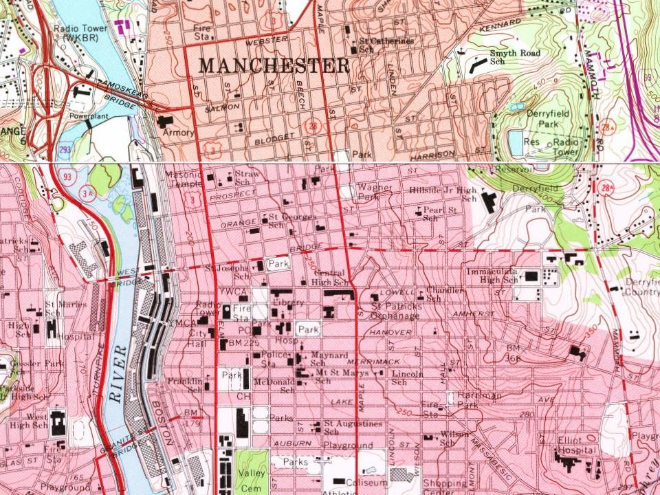
Every edition of the U.S. Geological Survey’s map of Manchester. Tap a year, or press play to watch the town change.
1953Manchester sheet · 1:62,500
U.S. Geological Survey historical topographic maps (public domain), via Esri’s collection of the scans. The red ring marks the center of Manchester.
Every building
Manchester, building by building, 1885–1915
Fire insurance maps drew every building, what it was made of and what it was used for, so insurers could price the risk of fire. Pick a year, then a sheet.
In 1722, according to Wikidata. Manchester’s post office opened in 1826, and the first U.S. census counted 362 people here in 1790.
How does Manchester rank for history?
Manchester is more historic than 94% of U.S. towns, #23 of 126 in New Hampshire. The History grade combines the town’s founding era, the share of homes built before 1940 and its National Register listings. It’s a character grade, so it isn’t part of the overall grade. How it works.
What is on the National Register in Manchester?
36 listings: 27 buildings, among them the Gen. John Stark House (listed 1973, the first), 7 historic districts with 67 contributing buildings, and 2 sites. 114 historic buildings in all.
How old are the homes in Manchester?
28% of Manchester’s homes were built before 1940 (Census estimate, ±1.2 points), against a typical 17% for a New Hampshire town; the median home was built in 1966.
Founding dates: Wikidata, Wikipedia, the U.S. post office records of Blevins & Helbock (CC0) and the Census. Homes by year built: Census ACS 2020–24. National Register of Historic Places: National Park Service (list of May 22, 2026). Old photos, postcards and papers: Wikimedia Commons, the Library of Congress and other public archives, credited on each item’s page. Maps: U.S. Geological Survey historical topographic maps (via Esri) and Sanborn fire-insurance maps (Library of Congress). History text and census tables: Wikipedia (CC BY-SA 4.0). Places that used to be: USGS Geographic Names Information System (2021).
From Wikimedia Commons (6), the National Register of Historic Places (36), Wikipedia, Wikidata and Wikipedia for famous people, U.S. Geological Survey historical maps, U.S. Census counts (via Wikipedia), the US Post Offices dataset (Blevins & Helbock), the USGS Geographic Names Information System, Sanborn fire insurance maps (Library of Congress) and old county and town histories (Internet Archive). Archive images are copied here with their credits and licenses, shown on each photo’s page. Refreshed monthly.
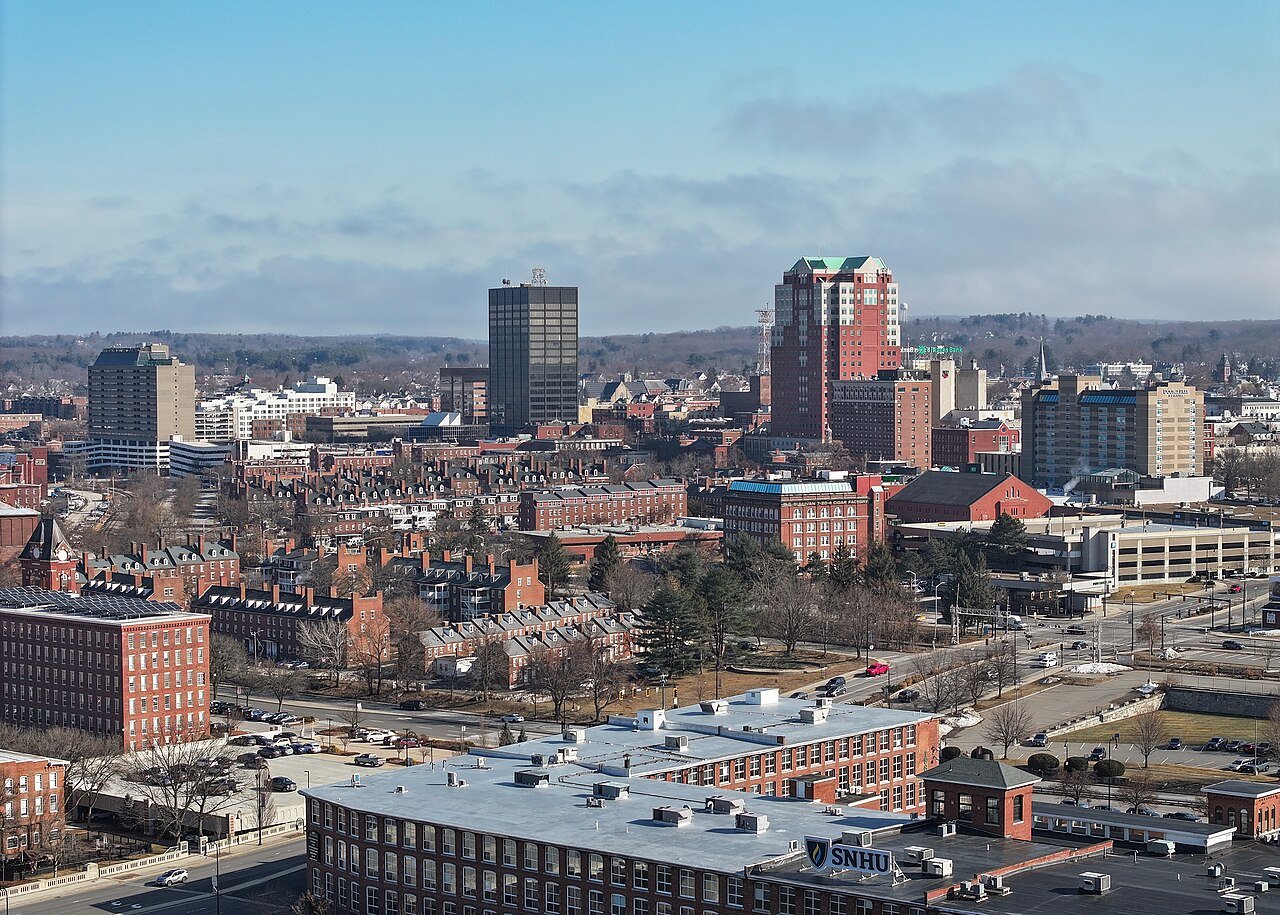


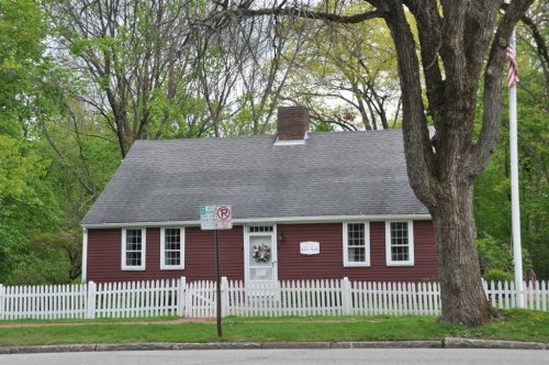


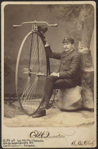



 1854
 1855
 1855