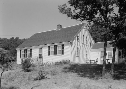
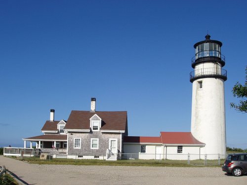
Highland House · National Register of Historic Places
Truro’s story
326 years in pictures
The archive holds 6 old photos and papers going back to 1713.
9 places on the National Register of Historic Places.
- 1700Truro is settled
Each edition grades its towns against each other only.

The best of Truro’s subject grades are an A for health, an A+ for the outdoors, and an A− for history. 11% of residents are under 18 in Truro, below both Massachusetts’ towns (20%) and U.S. towns (22%). Only 1 of the 284 Massachusetts towns we compare have a higher median age than Truro. 62% of the land in Truro is conserved, where Massachusetts’ towns sit at 19% and U.S. towns at 4.3%. Cape Cod National Seashore, at 10,629 acres with 71.1 miles of trail, is the biggest park or preserve. Only 1 of Massachusetts’ 325 towns score higher on the outdoors. Truro has fewer than 2,500 residents, so it gets subject grades but no overall grade.
Where Truro beats most towns.
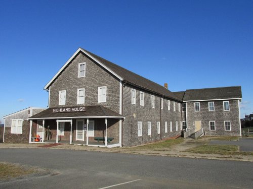 Highland House
| Widest gap | Truro | MA |
|---|---|---|
| Fewer adults facing housing insecurity | 6.5% | 11.1% |
The archive holds 6 old photos and papers going back to 1713.
9 places on the National Register of Historic Places.
Truro takes its name from Truro in Cornwall, England, 3,060 miles across the Atlantic.
 UKUK edition
Truro, settled in 1700, takes its name from Truro, a large town in Cornwall, England.
Named after: each U.S. town’s Wikipedia article. Grades compare each town with towns in its own country, so they aren’t a head-to-head.
Each subject compared with towns across the country (schools within Massachusetts), ordered by how far Truro is from typical.
How TownRatings grades towns →
Museums, parks, gardens and other places to visit around Truro. Close and well known come first.
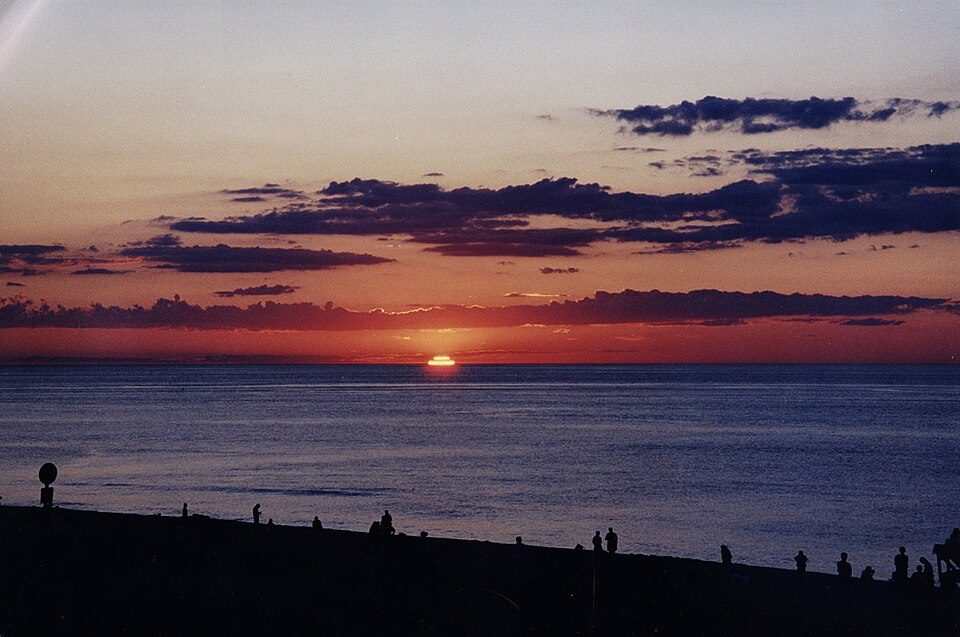 in town National SeashoreCape Cod National Seashore3.7M visitors a year
 30 mi Ancient siteSS Pendleton
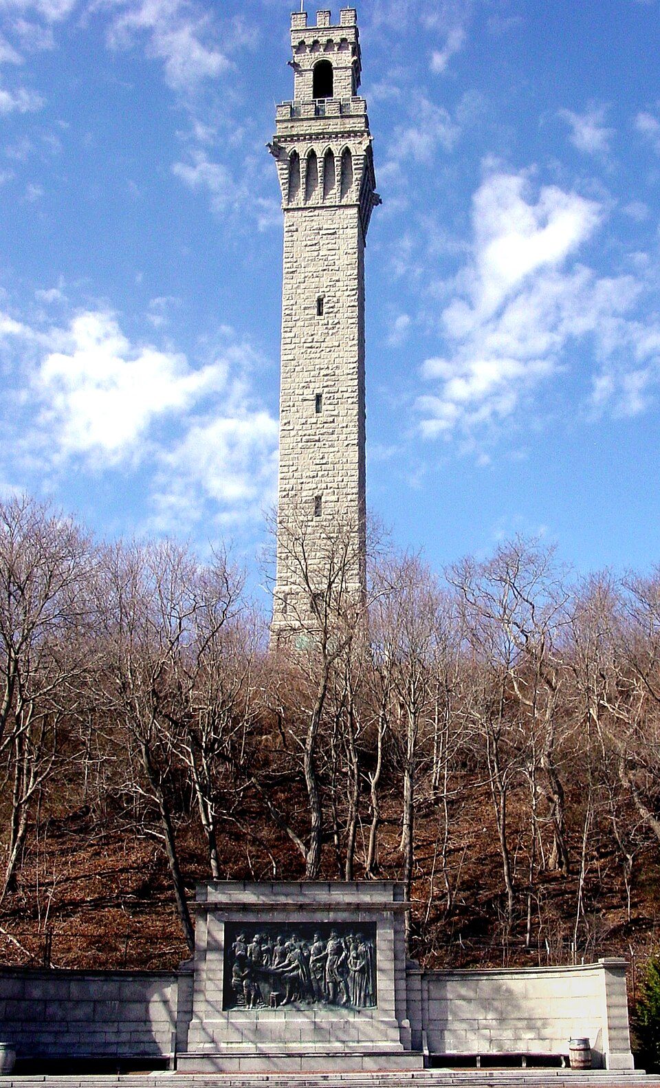 7 mi LandmarkPilgrim Monument
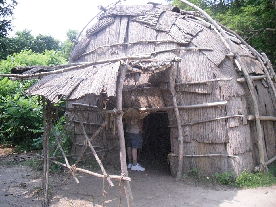 29 mi MuseumPlimoth Patuxet
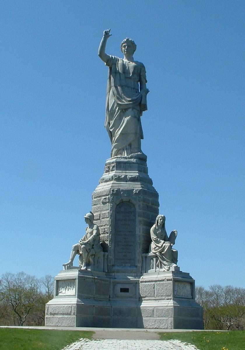 32 mi LandmarkNational Monument to the Forefathers
 38 mi Theme parkEdaville Railroad
Cape Cod National Seashore: SeduisantRedux, CC BY 3.0 · SS Pendleton: United States Coast Guard, Richard C. Kelsey, Public domain · Pilgrim Monument: Peter Whitlock (Transferred by adavyd/Originally uploaded by Willster3), CC BY-SA 3.0 · Plimoth Patuxet: Tr!sie, CC BY-SA 3.0 · National Monument to the Forefathers: T.S. Custadio aka ToddC4176 at en.wikipedia, Public domain · Edaville Railroad: Dan Crow, CC BY-SA 3.0
Who provides power, water and the rest in Truro, and how to reach them.
EPA SDWIS (Oct 9, 2026) · HIFLD + EIA-861 2025 · Census 2020 ZCTAs · NCES 2024–25 · registration: vote.gov, updated Nov 18, 2024.
Ordered by what stands out in Truro.
78 miles of trail in 12 parks and preserves. Truro’s trail density is 3.0 miles per square mile.
| Biggest places to walk | Trails | Acres |
|---|---|---|
| 1. Cape Cod National Seashore | 71.1 mi | 10,629 |
| 2. High Head | 1.4 mi | 78 |
| 3. Pamet Marsh | — | 19 |
Trails & parks © OpenStreetMap contributors · Conserved land: USGS PAD-US
Its public schools are run by the Truro school district. Its one school is below.
| School | Level | Students | Letter |
|---|---|---|---|
| Truro CentralLargest public elementary schoolGrades PK–5 | Grades PK–5 | 78 | B+ |
NCES · EDFacts · graded within MA on state tests
The typical Truro home is worth about $1,045,000, about the same as a year ago, 59% above the Massachusetts typical home. 84% of Truro households own their home.
Census ACS, 2020–24 · Zillow Home Value Index · Redfin Data Center
87% of adults had a checkup this year in Truro. Truro beats the Massachusetts average on 13 of 32 CDC measures and trails it on 6. 3.2% of adults 18 to 64 have no health insurance in Truro.
| Truro | Massachusetts towns | U.S. towns | |
|---|---|---|---|
| Yearly checkup (CDC PLACES) | 87% | 82% | 79% |
| Binge drink (CDC PLACES) | 13% | 17% | 16% |
| Frequent mental distress (CDC PLACES) | 13% | 16% | 17% |
| High blood pressure (CDC PLACES) | 41% | 32% | 35% |
| What stands out | Truro | MA |
|---|---|---|
| Fewer adults facing housing insecurity | 6.5% | 11.1% |
| Fewer adults facing food insecurity | 7.5% | 12.4% |
| More adults who have had cancer | 14.4% | 8.5% |
CDC PLACES 2025 · modeled estimates for adults · CMS · HRSA
Expected storm and flood damage is lower than in 70% of U.S. communities. Since 1983, 23 flood insurance claims have been paid out in Truro.
FEMA flood insurance claims · FEMA National Risk Index · OpenFEMA
The July high in Truro is 78°F. Truro has chilly winters and pleasant summers.
NOAA U.S. Climate Normals, 1991–2020
Most working residents leave Truro for work: only 18% work in town. Jobs based in Truro grew to 492 in 2023, 106 more than in 2013. The top destinations are Provincetown (18%), Boston (8%) and Eastham (3%).
| Truro | Massachusetts towns | U.S. towns | |
|---|---|---|---|
| Working residents who work in town | 18% | 9.8% | 8% |
| Below the poverty line | 4.4% | 6% | 9.6% |
| Average trip to work | 30 minutes | 30 minutes | 25 minutes |
Census LEHD 2023 · ACS
FBI crime data, 2025 · crimes reported to police
None within 15 miles of Truro; the nearest are
About 4 of every 100 Truro residents are enrolled in college, against 8 across Massachusetts.
2,003 counted in 2010 and 2,454 in 2020; an estimated 2,483 in 2025.
U.S. Census 2010 & 2020 counts · Census Bureau estimate, July 1, 2025
9 places in Truro on the National Register of Historic Places.
Town in Massachusetts, United States
Truro () is a town on Cape Cod in Massachusetts, comprising two villages: Truro and North Truro. Located slightly more than 100 miles (160 km) by road from Boston, it is a summer vacation community just south of the northern tip of Cape Cod, in an area known as the "Outer Cape". English colonists named it after Truro in Cornwall, United Kingdom. The historic Wampanoag Native American people called the area Pamet or Payomet. Their language was part of the large Algonquian family. This name was adopted for the Pamet River and the harbor area around the town center known as the Pamet Roads. The population of Truro was 2,454 at the 2020 census. Over half of the land area of the town is part of.…
From Wikipedia, licensed CC BY-SA 4.0 · facts via Wikidata (CC0)
2 towns share a border with Truro.
| Town | MA rank | Overall | Cost | Safety | Schools | Health |
|---|---|---|---|---|---|---|
| Truro | — | — | C | B | B− | A |
| Provincetown | #251 | C− | C− | C− | D | A− |
| Wellfleet | #161 | B | D | B+ | B+ | A |
Truro has fewer than 2,500 residents, so it gets subject grades but no overall grade. Compare Truro with a neighbor →
Short answers, built from the data on this page.
That is 11 years of the area's median household income ($95,241 across the Barnstable Town, MA metro area). Cost of living, which also weighs rents, property taxes and how many households pay 30% or more of their income for housing, grades C.
2 notable people were born here, including Danny MacFayden and Edward Knight Collins.