
SS Pendleton
SS Pendleton was a Type T2-SE-A1 tanker built in 1942 in Portland, Oregon, United States, for the War Shipping Administration.

An ancient site, 2 mi southeast of Chatham
Chatham is the nearest base
Chatham is 2 miles northwest, with 28 places to stay. Where to stay ↓
A day trip from Boston
Boston is about 75 miles northwest (straight-line). Where to stay ↓
Best months: Jun, Jul, Aug and Sep
June, July, August and September are the mild months, with highs of 70–77°. When to go ↓
Written from NOAA 1991–2020 normals, Overture places to stay, Census town figures, Wikidata and Wikipedia.
Weather, month by month
Typical highs and lows in Chatham. Green months are the mild ones.
SS Pendleton
SS Pendleton was a Type T2-SE-A1 tanker built in 1942 in Portland, Oregon, United States, for the War Shipping Administration. She was sold in 1948 to National Bulk Carriers, serving until February 1952 when she broke in two in a storm. The T2 tanker ships were prone to splitting in two in cold weather. The ship's sinking and crew rescue (along with the break-up and rescue of its sister ship) is the topic of the 2009 book The Finest Hours: The True Story Behind the US Coast Guard's Most Daring Rescue by Michael J. Tougias and Casey Sherman. The book inspired the 2016 Disney-produced film The Finest Hours with Chris Pine, which focuses on the Pendleton rescue.
- Type
- Ancient site
- Run by
- United States Navy
- Wikipedia readers
- 41K a year
Where to stay near SS Pendleton
The closest towns with hotels, motels or campgrounds are Chatham (28) and Yarmouth (77).
Chatham
The closest town with somewhere to stay.
6,752 people · 54% vacation homes
2 mi northwest of SS Pendleton
Compare 8 towns
| Town | From SS Pendleton | Drive | Places to stay | People | Typical home | Safety |
|---|---|---|---|---|---|---|
| Chatham 54% vacation homes | 2 mi northwest | 5 min | 28 11 hotels · 2 motels · 13 inns & B&Bs · 2 lodges & cabins | 6,752 | $943K | A− |
| Yarmouth 29% vacation homes | 15 mi northwest | 20 min | 77 43 hotels · 11 motels · 17 inns & B&Bs · 5 lodges & cabins · 1 campground | 25,225 | $552K | B− |
| Dennis 52% vacation homes | 13 mi northwest | 20 min | 54 21 hotels · 10 motels · 12 inns & B&Bs · 9 lodges & cabins · 2 RV parks | 14,906 | $627K | B− |
| Harwich 34% vacation homes | 10 mi northwest | 15 min | 23 8 hotels · 1 motel · 13 inns & B&Bs · 1 lodge or cabins | 13,635 | $659K | A− |
| Brewster 42% vacation homes | 12 mi northwest | 20 min | 28 8 hotels · 12 inns & B&Bs · 3 lodges & cabins · 4 campgrounds · 1 RV park | 10,457 | $708K | A− |
| Barnstable Town | 21 mi west | 30 min | 68 38 hotels · 5 motels · 18 inns & B&Bs · 6 lodges & cabins · 1 hostel | 50,101 | $603K | C+ |
| Nantucket 55% vacation homes | 22 mi south | 30 min | 58 30 hotels · 21 inns & B&Bs · 4 lodges & cabins · 1 hostel · 2 campgrounds | 14,758 | $1,594K | B− |
| Eastham 53% vacation homes | 18 mi north | 25 min | 34 10 hotels · 6 motels · 6 inns & B&Bs · 9 lodges & cabins · 2 hostels · 1 campground | 5,844 | $732K | B |
Getting there
Nearest airports with airline service
Also near SS Pendleton
Other well-known places within 70 miles. Numbered ones are on the map above.
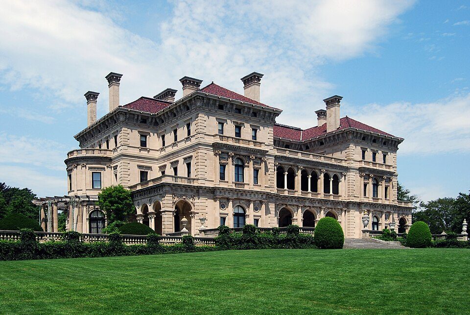 Big draw70 mi MuseumThe Breakers
 63 mi MuseumUSS Massachusetts
 42 mi MuseumPlimoth Patuxet
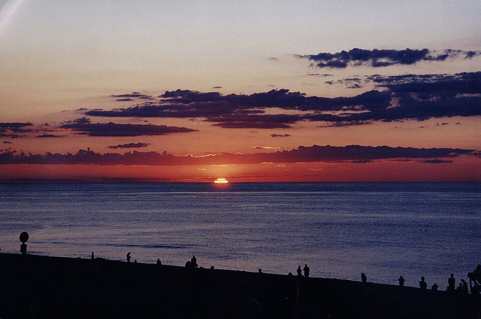 117 mi National SeashoreCape Cod National Seashore3.7M visitors a year
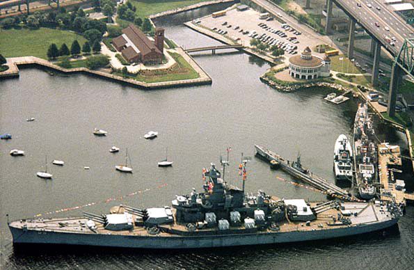 62 mi MuseumBattleship Cove
 70 mi MuseumRosecliff
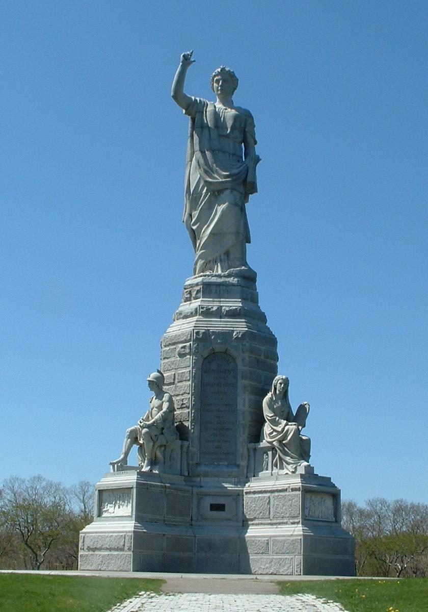 45 mi LandmarkNational Monument to the Forefathers
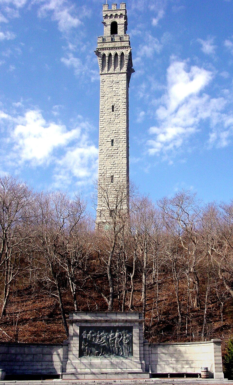 34 mi LandmarkPilgrim Monument
Photo credits
The Breakers: UpstateNYer, CC BY-SA 3.0 · USS Massachusetts: USN, Public domain · Plimoth Patuxet: Tr!sie, CC BY-SA 3.0 · Cape Cod National Seashore: SeduisantRedux, CC BY 3.0 · Battleship Cove: Electroengie at English Wikipedia, Public domain · Rosecliff: n ole, CC BY 2.0 · National Monument to the Forefathers: T.S. Custadio aka ToddC4176 at en.wikipedia, Public domain · Pilgrim Monument: Peter Whitlock (Transferred by adavyd/Originally uploaded by Willster3), CC BY-SA 3.0


Visiting SS Pendleton
What town is SS Pendleton near?
Chatham, MA, about 2 miles northwest.
When is the best time to visit SS Pendleton?
June, July, August and September, with highs of 70–77°.
How far is SS Pendleton from Boston?
About 75 miles northwest of Boston, as the crow flies.
What is the closest airport to SS Pendleton?
Cape Cod Gateway (HYA), about 17 miles away. The nearest big hub is Boston Logan (BOS), about 76 miles.
Where should I stay near SS Pendleton?
Chatham (2 mi, 28 places to stay), Yarmouth (15 mi, 77 places to stay) and Dennis (13 mi, 54 places to stay).
Tips from people in Chatham
No tips yet. Ask, or answer, in Chatham’s Town Square.
Sources: National Park Service · ski areas © OpenSkiMap / OpenStreetMap contributors · Wikidata · Wikipedia readership · NOAA climate normals · U.S. Census.